Lagunitas-Forest Knolls is a census-designated place, composed of two unincorporated areas in the western half of the San Geronimo Valley in Marin County, California. It is located to the west of San Geronimo and Woodacre. The population was 1,924 at the 2020 census.
The two towns are locally seen as separate. Geographically divided by narrow points in the San Geronimo Valley, each has its own small commercial center. Both towns are primarily residential. The ZIP code of Lagunitas is 94938, while the ZIP code of Forest Knolls is 94933.
| Name: | Lagunitas-Forest Knolls CDP |
|---|---|
| LSAD Code: | 57 |
| LSAD Description: | CDP (suffix) |
| State: | California |
| County: | Marin County |
| Total Area: | 4.246 sq mi (11.00 km²) |
| Land Area: | 4.246 sq mi (11.00 km²) |
| Water Area: | 0 sq mi (0 km²) 0% |
| Total Population: | 1,924 |
| Population Density: | 450/sq mi (170/km²) |
| ZIP code: | 94933 (Forest Hills) 94938 (Lagunitas) |
| FIPS code: | 0639283 |
Online Interactive Map
Click on ![]() to view map in "full screen" mode.
to view map in "full screen" mode.
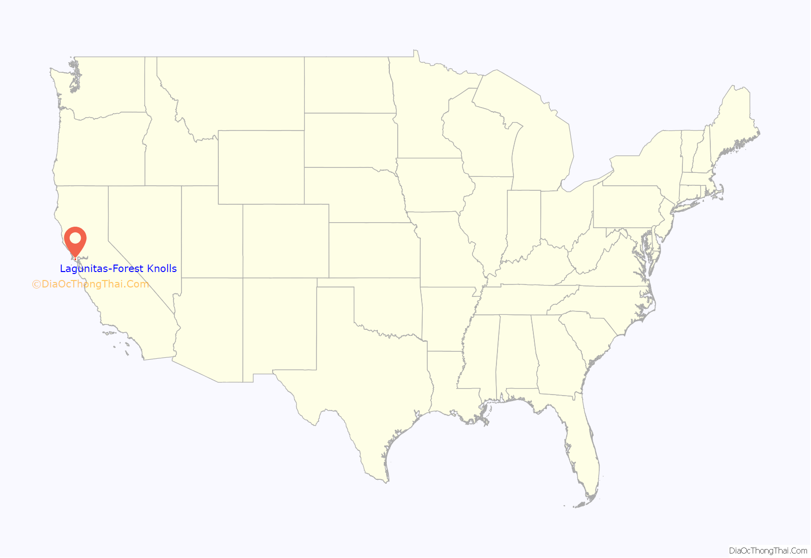
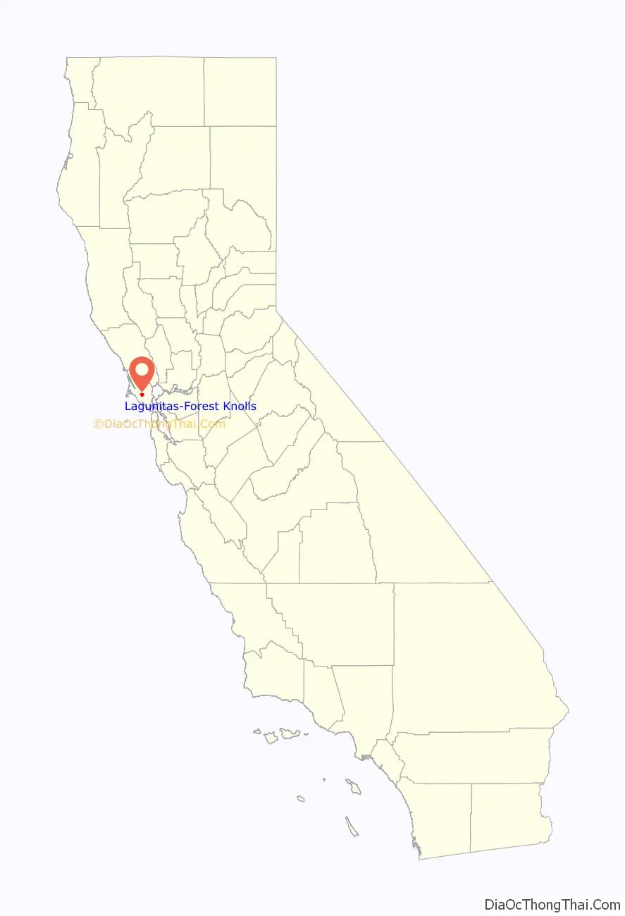
Lagunitas-Forest Knolls location map. Where is Lagunitas-Forest Knolls CDP?
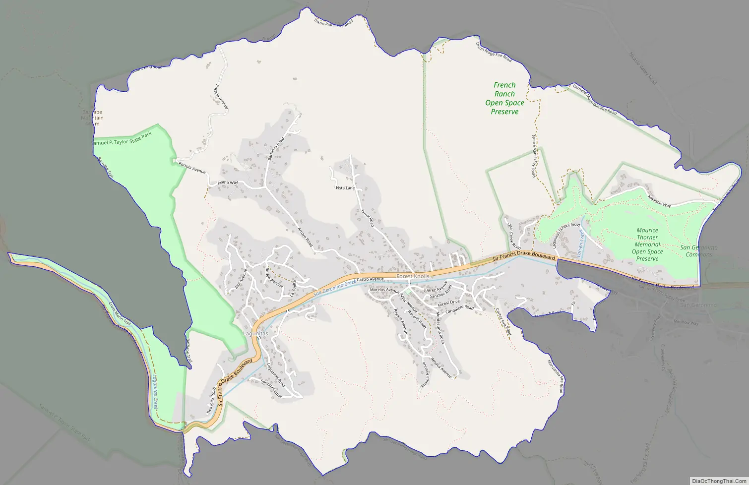
Lagunitas-Forest Knolls Road Map
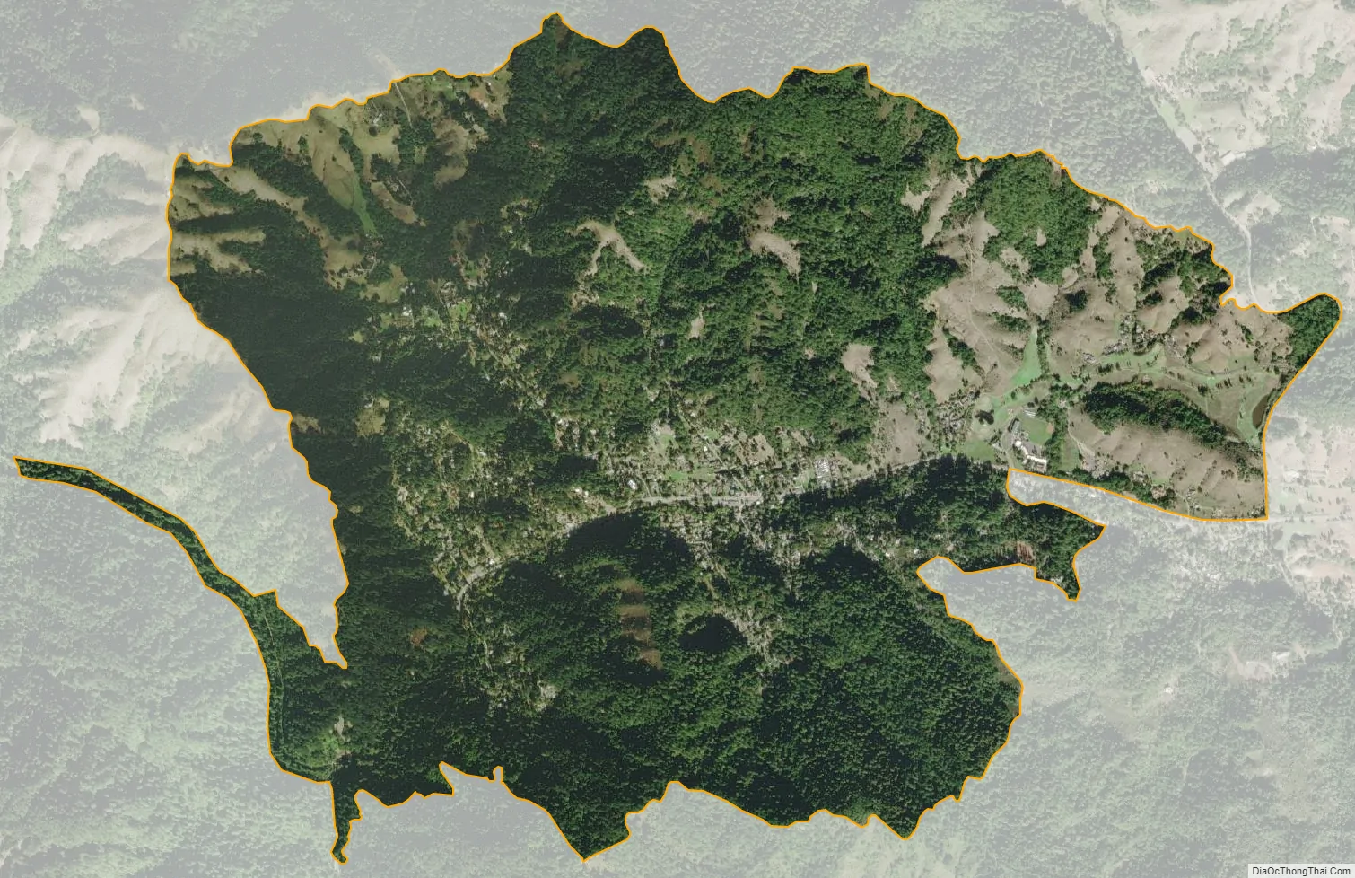
Lagunitas-Forest Knolls city Satellite Map
Geography
Lagunitas-Forest Knolls is located at 38°0′54″N 122°41′38″W / 38.01500°N 122.69389°W / 38.01500; -122.69389 (38.015064, -122.693874).
According to the U.S. Census Bureau, the CDP has a total area of 11.0 square kilometers (4.2 sq mi), all of it land.
San Geronimo Creek (a.k.a. Paper Mill Creek), one of the few remaining spawning grounds for Coho salmon (Oncorhynchus kisutch), runs through both towns. Lagunitas Creek, a tributary to San Geronimo Creek, is home to the largest remaining wild run of Coho salmon in Central California. These Coho are part of the Central California Coast Evolutionarily Significant Unit (CCC ESU), and are listed as “endangered” at both the state and federal level.
The towns line the western end of the San Geronimo Valley, extending into the forested south ridges and slightly into the grassier northern ones.
Lagunitas is on the eastern border of Samuel P. Taylor State Park. Like the park, Lagunitas-Forest Knolls and the surrounding environs are lushly vegetated with large areas of coniferous forests.
Hiking and horseback riding are popular in the hills above the towns.
See also
Map of California State and its subdivision:- Alameda
- Alpine
- Amador
- Butte
- Calaveras
- Colusa
- Contra Costa
- Del Norte
- El Dorado
- Fresno
- Glenn
- Humboldt
- Imperial
- Inyo
- Kern
- Kings
- Lake
- Lassen
- Los Angeles
- Madera
- Marin
- Mariposa
- Mendocino
- Merced
- Modoc
- Mono
- Monterey
- Napa
- Nevada
- Orange
- Placer
- Plumas
- Riverside
- Sacramento
- San Benito
- San Bernardino
- San Diego
- San Francisco
- San Joaquin
- San Luis Obispo
- San Mateo
- Santa Barbara
- Santa Clara
- Santa Cruz
- Shasta
- Sierra
- Siskiyou
- Solano
- Sonoma
- Stanislaus
- Sutter
- Tehama
- Trinity
- Tulare
- Tuolumne
- Ventura
- Yolo
- Yuba
- Alabama
- Alaska
- Arizona
- Arkansas
- California
- Colorado
- Connecticut
- Delaware
- District of Columbia
- Florida
- Georgia
- Hawaii
- Idaho
- Illinois
- Indiana
- Iowa
- Kansas
- Kentucky
- Louisiana
- Maine
- Maryland
- Massachusetts
- Michigan
- Minnesota
- Mississippi
- Missouri
- Montana
- Nebraska
- Nevada
- New Hampshire
- New Jersey
- New Mexico
- New York
- North Carolina
- North Dakota
- Ohio
- Oklahoma
- Oregon
- Pennsylvania
- Rhode Island
- South Carolina
- South Dakota
- Tennessee
- Texas
- Utah
- Vermont
- Virginia
- Washington
- West Virginia
- Wisconsin
- Wyoming


