Lake San Marcos is a census-designated place (CDP) in the North County region of the San Diego metropolitan area. It is nominally independent of San Marcos proper, but functionally subservient to the city.
| Name: | Lake San Marcos CDP |
|---|---|
| LSAD Code: | 57 |
| LSAD Description: | CDP (suffix) |
| State: | California |
| County: | San Diego County |
| Elevation: | 525 ft (160 m) |
| Total Area: | 1.807 sq mi (4.679 km²) |
| Land Area: | 1.721 sq mi (4.457 km²) |
| Water Area: | 0.086 sq mi (0.223 km²) 4.76% |
| Total Population: | 5,328 |
| Population Density: | 2,900/sq mi (1,100/km²) |
| ZIP code: | 92078 |
| FIPS code: | 0639724 |
| GNISfeature ID: | 1660879 |
Online Interactive Map
Click on ![]() to view map in "full screen" mode.
to view map in "full screen" mode.
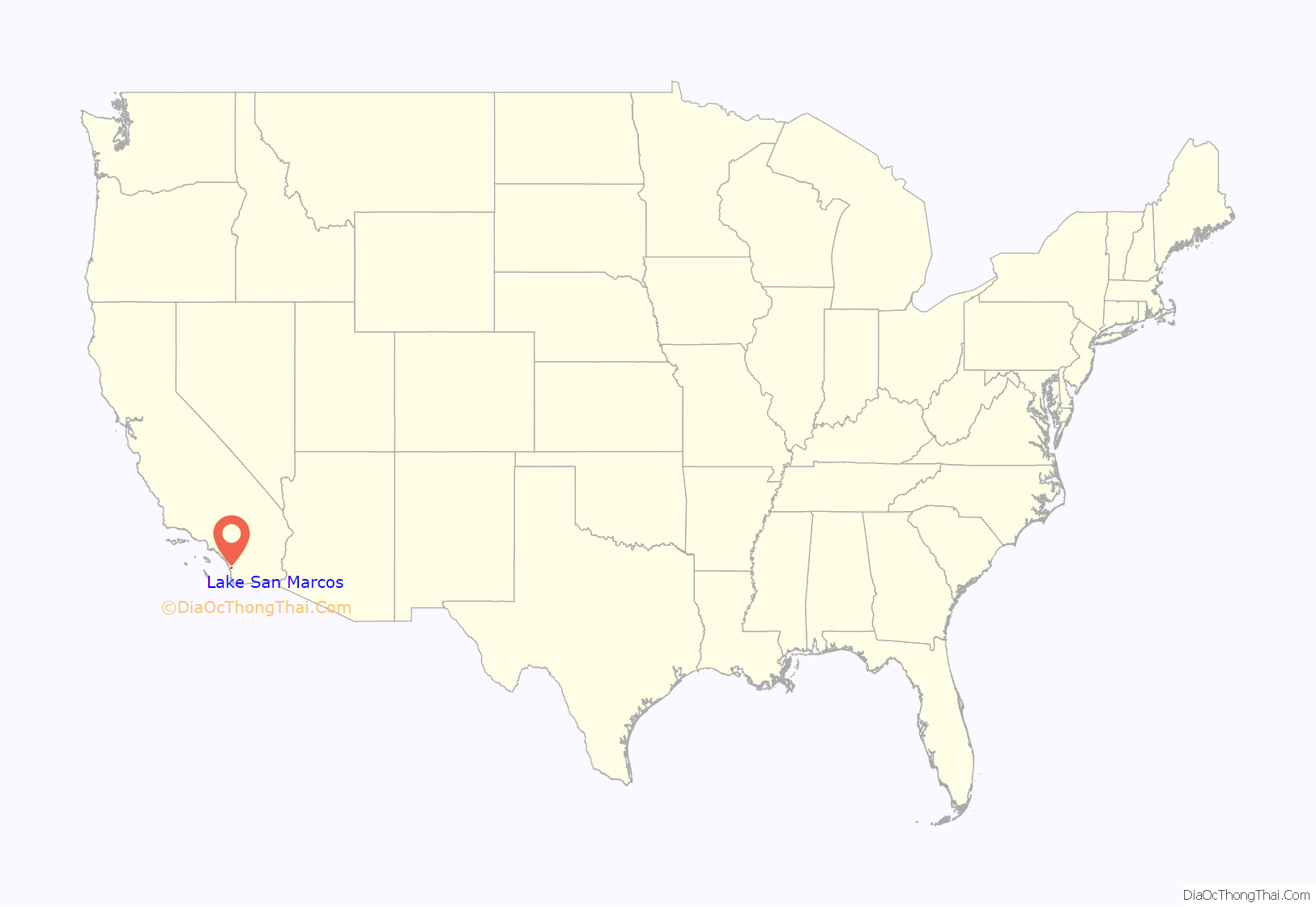
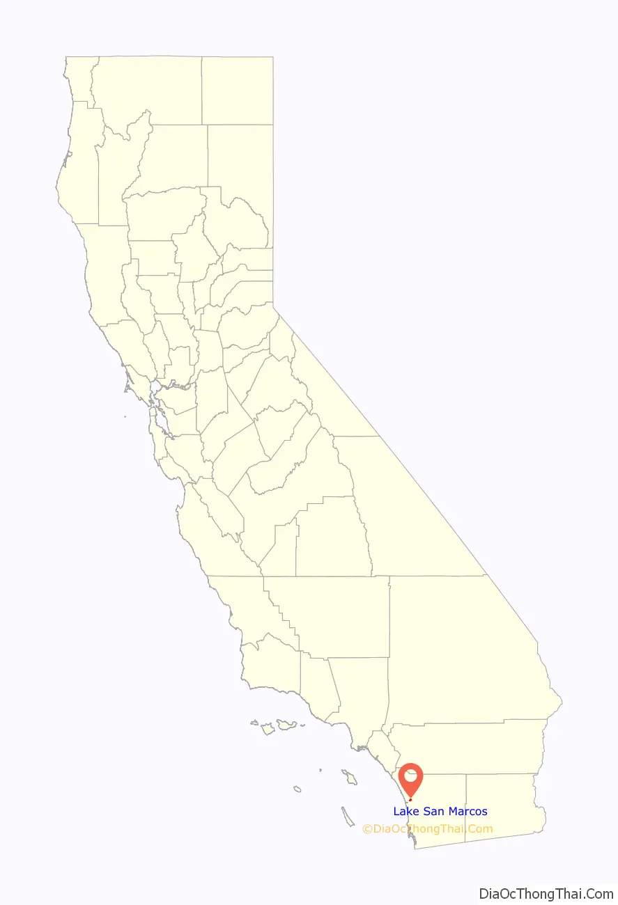
Lake San Marcos location map. Where is Lake San Marcos CDP?
History
There is considerable evidence of human inhabitation of the area currently known as Lake San Marcos long before the Spanish establishment of the Mission San Diego de Alcala in A.D. 1769. Native American tribes lived and flourished near the San Luis Rey River in the Late Prehistoric period. Much of this area was originally part of Rancho Los Vallecito de San Marcos. On April 22, 1840, Governor Juan Bautista Alvarado granted the 8,877-acre Rancho Los Vallecitos de San Marcos to Don Jose Maria Alvarado who married Lugarda Osuna, daughter of the owner of San Dieguito Rancho, Don Juan Maria Osuna.
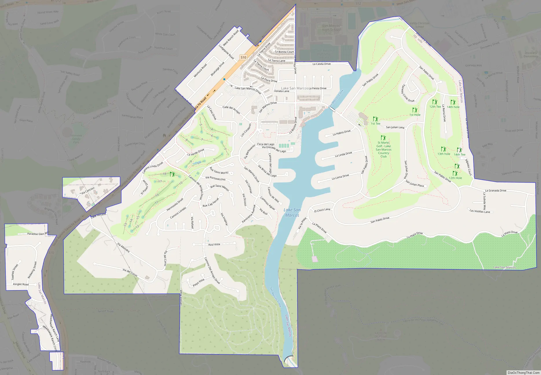
Lake San Marcos Road Map
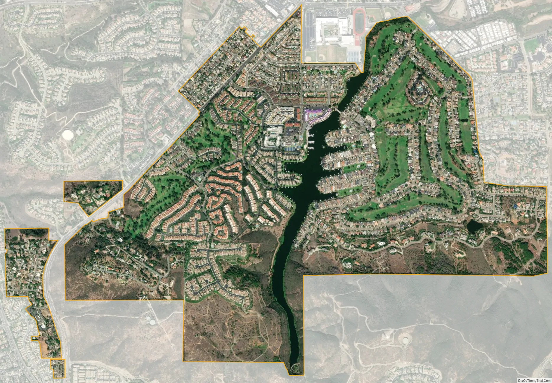
Lake San Marcos city Satellite Map
Geography
Lake San Marcos is an unincorporated area of San Diego County, surrounded by the City of San Marcos. It is a resort-based community surrounding the Lake San Marcos reservoir. It is located at 33°7′21″N 117°12′34″W / 33.12250°N 117.20944°W / 33.12250; -117.20944 (33.122562, -117.209411).
According to the United States Census Bureau, the CDP has a total area of 1.8 square miles (4.7 km). 1.7 square miles (4.4 km) of it is land and 0.1 square miles (0.26 km) of it (4.76%) is water. The lake after which the area is named is a large artificial body of water originally created for purposes of irrigation and watering cattle; today, however, it is used primarily for recreational and commercial purposes. The lake was created by a concrete dam built between 1946 and 1951.
See also
Map of California State and its subdivision:- Alameda
- Alpine
- Amador
- Butte
- Calaveras
- Colusa
- Contra Costa
- Del Norte
- El Dorado
- Fresno
- Glenn
- Humboldt
- Imperial
- Inyo
- Kern
- Kings
- Lake
- Lassen
- Los Angeles
- Madera
- Marin
- Mariposa
- Mendocino
- Merced
- Modoc
- Mono
- Monterey
- Napa
- Nevada
- Orange
- Placer
- Plumas
- Riverside
- Sacramento
- San Benito
- San Bernardino
- San Diego
- San Francisco
- San Joaquin
- San Luis Obispo
- San Mateo
- Santa Barbara
- Santa Clara
- Santa Cruz
- Shasta
- Sierra
- Siskiyou
- Solano
- Sonoma
- Stanislaus
- Sutter
- Tehama
- Trinity
- Tulare
- Tuolumne
- Ventura
- Yolo
- Yuba
- Alabama
- Alaska
- Arizona
- Arkansas
- California
- Colorado
- Connecticut
- Delaware
- District of Columbia
- Florida
- Georgia
- Hawaii
- Idaho
- Illinois
- Indiana
- Iowa
- Kansas
- Kentucky
- Louisiana
- Maine
- Maryland
- Massachusetts
- Michigan
- Minnesota
- Mississippi
- Missouri
- Montana
- Nebraska
- Nevada
- New Hampshire
- New Jersey
- New Mexico
- New York
- North Carolina
- North Dakota
- Ohio
- Oklahoma
- Oregon
- Pennsylvania
- Rhode Island
- South Carolina
- South Dakota
- Tennessee
- Texas
- Utah
- Vermont
- Virginia
- Washington
- West Virginia
- Wisconsin
- Wyoming


