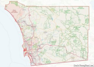
Lakeside is a census-designated place (CDP) in the East County region of San Diego County, California. The population was 21,152 at the 2020 census, up from 20,648 as of the 2010 census.
| Name: | Lakeside CDP |
|---|---|
| LSAD Code: | 57 |
| LSAD Description: | CDP (suffix) |
| State: | California |
| County: | San Diego County |
| Elevation: | 413 ft (126 m) |
| Total Area: | 7.280 sq mi (18.857 km²) |
| Land Area: | 6.900 sq mi (17.872 km²) |
| Water Area: | 0.380 sq mi (0.985 km²) 5.22% |
| Total Population: | 20,648 |
| Population Density: | 2,800/sq mi (1,100/km²) |
| ZIP code: | 92040 |
| Area code: | 619/858 |
| FIPS code: | 0639766 |
| GNISfeature ID: | 1656556 |
Online Interactive Map
Click on ![]() to view map in "full screen" mode.
to view map in "full screen" mode.
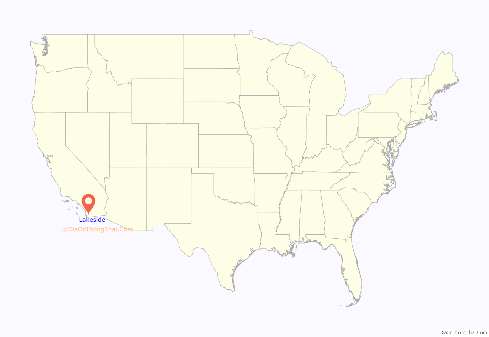
Lakeside location map. Where is Lakeside CDP?
History
Lakeside was home to the Kumeyaay prior to European contact, who called Lindo Lake “Ha Ptur” or Ha Pchurr (Barona Tribal dictionary), meaning lake or “circular water”.
Lakeside was founded in 1886 when 6,600 acres of land surrounding the naturally occurring Lindo Lake were purchased by the El Cajon Valley Land Company, who immediately began to promote the new land as a town and built an 80-room Victorian-style inn, the Lakeside Hotel, at a cost of $50,000 (approximately $1,220,000 today). Three years later, in 1889, Lakeside became connected to the railroad system, and small businesses began to spring up, firmly establishing Lakeside as a bustling community. In 1904, John H. Gay bought the Lakeside Hotel and fenced off the park surrounding Lindo Lake, claiming both as part of his estate. He then proceeded to construct an automobile and horse racetrack around the lake, which became famous when Barney Oldfield set a new land speed record when visiting for the track’s opening in 1907. The inn and racetrack became a popular gathering place for millionaires and celebrities and consistently drew large crowds by train to watch the races held there, but both were demolished per Gay’s wishes at his death in 1920.
Lakeside has long held a reputation as a “cowboy town” and “rodeo town,” due to the rural setting, the prevalence of ranches and the abundant horse ownership in the area, as well as hosting an 8-acre (32,000 m) permanent rodeo facility, the Lakeside Rodeo Grounds. The venue is manned and maintained by the El Capitan Stadium Association, an all-volunteer group who aims to assist and support the youth of Lakeside by donating all proceeds from facility rentals to local sports and service, as well as education grants. Notable rodeos include the PRCA-sanctioned Lakeside Rodeo, part of their California circuit and usually occurring on the last weekend in April, regularly drawing over 20,000 observers to the arena, as well as the Lakeside Optimists’ Bulls Only Rodeo in July.
During the middle of the 20th century, Lakeside was home to significant Native American, Spanish-speaking and Filipino populations.
Many social and service groups are very active in Lakeside including Youth Venture Teen Centers, VFW, Kiwanis International, Elks, Optimist, Soroptimist, 4-H, FFA, Boys and Girls Club, Boy Scouts, Girl Scouts, United States Naval Sea Cadet Corps, youth soccer, baseball and football leagues, and the Cactus Park BMX track. The U.S. Navy maintains two large housing sites for military dependents in the town.
Today, protection of the town’s history falls to the Lakeside Historical Society, which works primarily to retain and preserve the buildings in the historic former downtown along Maine Avenue, now removed from the central business hub.
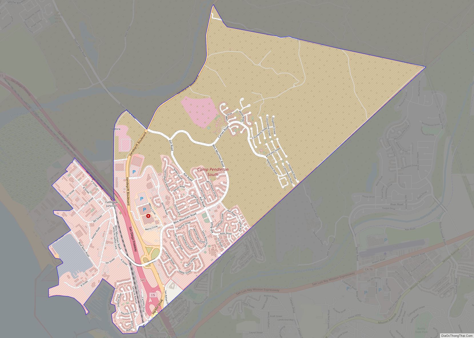
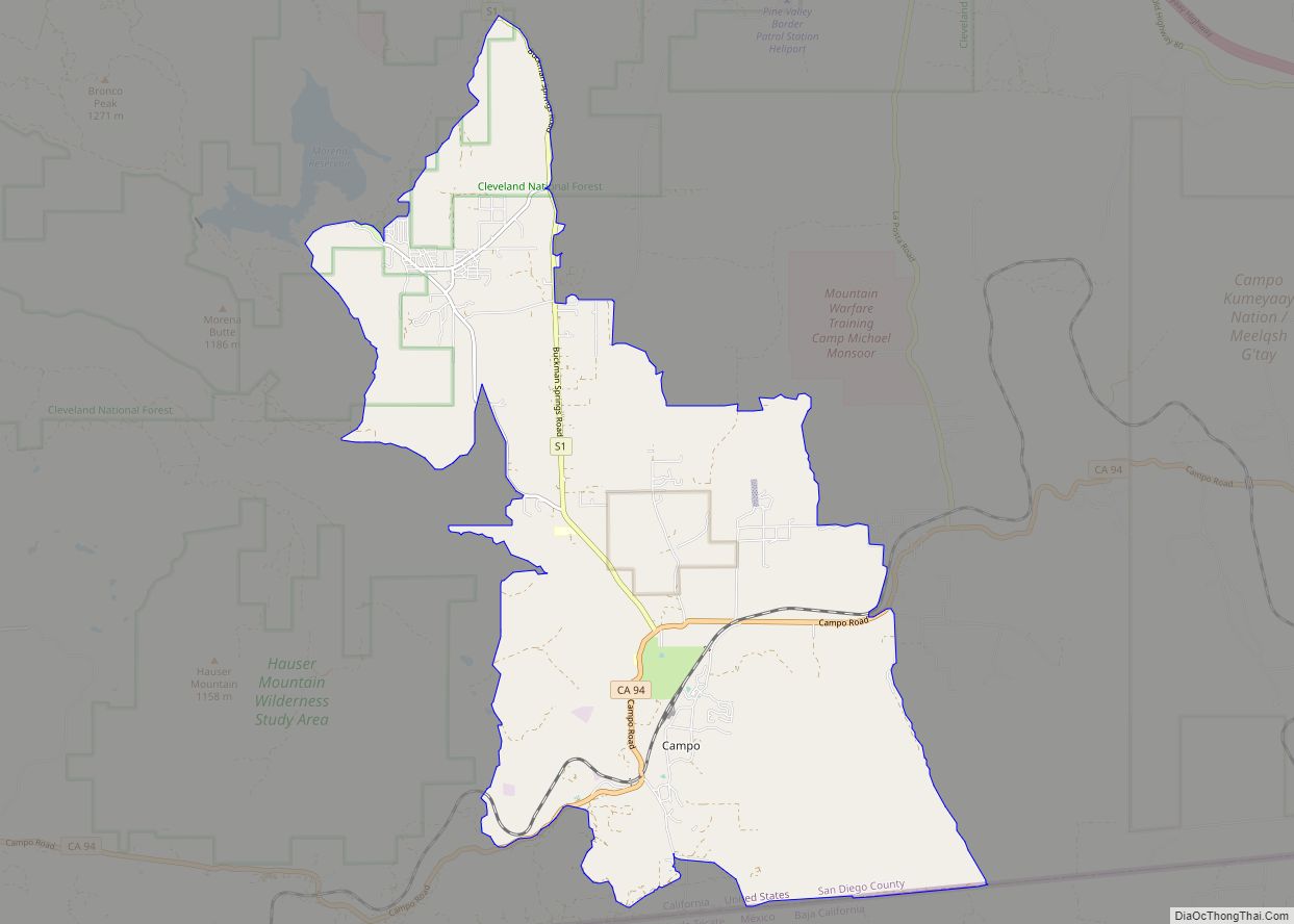
Lakeside Road Map
Lakeside city Satellite Map
Geography
Lakeside is in the western foothills of the Cuyamaca Mountains.
According to the United States Census Bureau, Lakeside has a total area of 7.3 square miles (19 km). 6.9 square miles (18 km) of it is land and 0.4 square miles (1.0 km) of it (5.22%) is water.
Climate
According to the Köppen Climate Classification system, Lakeside has a warm-summer Mediterranean climate, abbreviated “Csa” on climate maps.
See also
Map of California State and its subdivision:- Alameda
- Alpine
- Amador
- Butte
- Calaveras
- Colusa
- Contra Costa
- Del Norte
- El Dorado
- Fresno
- Glenn
- Humboldt
- Imperial
- Inyo
- Kern
- Kings
- Lake
- Lassen
- Los Angeles
- Madera
- Marin
- Mariposa
- Mendocino
- Merced
- Modoc
- Mono
- Monterey
- Napa
- Nevada
- Orange
- Placer
- Plumas
- Riverside
- Sacramento
- San Benito
- San Bernardino
- San Diego
- San Francisco
- San Joaquin
- San Luis Obispo
- San Mateo
- Santa Barbara
- Santa Clara
- Santa Cruz
- Shasta
- Sierra
- Siskiyou
- Solano
- Sonoma
- Stanislaus
- Sutter
- Tehama
- Trinity
- Tulare
- Tuolumne
- Ventura
- Yolo
- Yuba
- Alabama
- Alaska
- Arizona
- Arkansas
- California
- Colorado
- Connecticut
- Delaware
- District of Columbia
- Florida
- Georgia
- Hawaii
- Idaho
- Illinois
- Indiana
- Iowa
- Kansas
- Kentucky
- Louisiana
- Maine
- Maryland
- Massachusetts
- Michigan
- Minnesota
- Mississippi
- Missouri
- Montana
- Nebraska
- Nevada
- New Hampshire
- New Jersey
- New Mexico
- New York
- North Carolina
- North Dakota
- Ohio
- Oklahoma
- Oregon
- Pennsylvania
- Rhode Island
- South Carolina
- South Dakota
- Tennessee
- Texas
- Utah
- Vermont
- Virginia
- Washington
- West Virginia
- Wisconsin
- Wyoming
