Lemon Grove is a city in San Diego County, California, United States. The population was 27,627 at the 2020 census, up from 25,320 at the 2010 census.
| Name: | Lemon Grove city |
|---|---|
| LSAD Code: | 25 |
| LSAD Description: | city (suffix) |
| State: | California |
| County: | San Diego County |
| Incorporated: | July 1, 1977 |
| Elevation: | 446 ft (136 m) |
| Total Area: | 3.88 sq mi (10.05 km²) |
| Land Area: | 3.88 sq mi (10.05 km²) |
| Water Area: | 0.00 sq mi (0.00 km²) 0% |
| Total Population: | 27,627 |
| Population Density: | 7,100/sq mi (2,700/km²) |
| ZIP code: | 91945 |
| Area code: | 619 |
| FIPS code: | 0641124 |
| Website: | www.lemongrove.ca.gov |
Online Interactive Map
Click on ![]() to view map in "full screen" mode.
to view map in "full screen" mode.
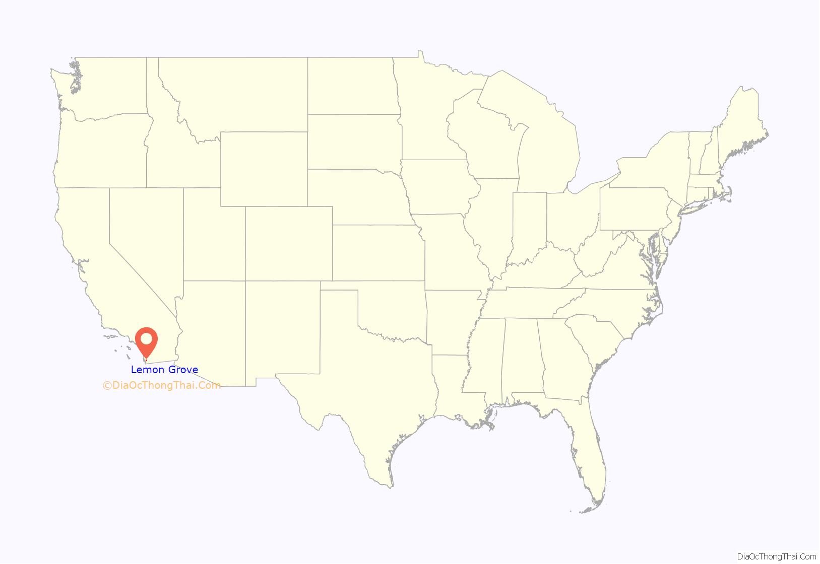
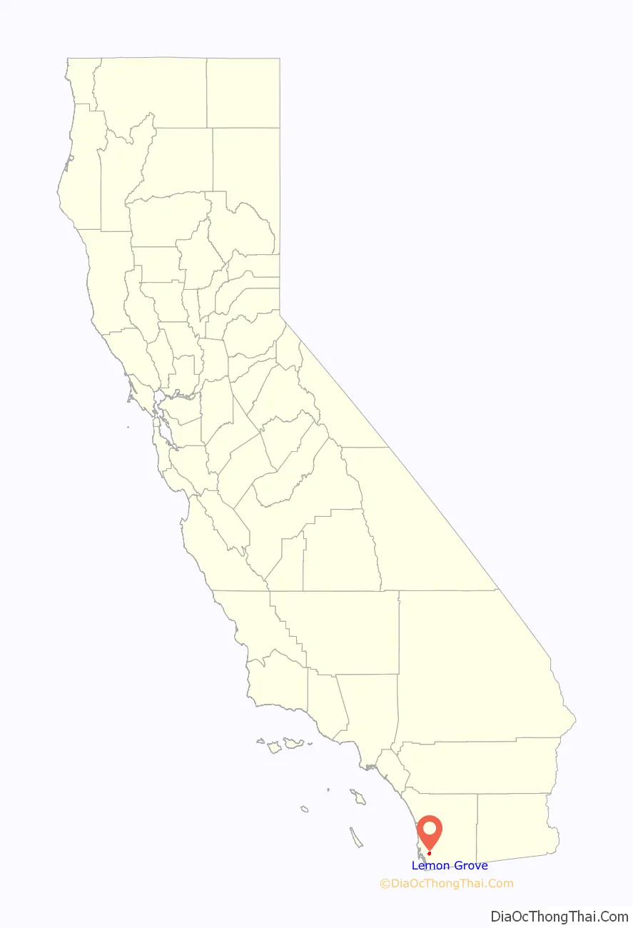
Lemon Grove location map. Where is Lemon Grove city?
History
The area that eventually became Lemon Grove was part of Mission San Diego de Alcalá, one of the Spanish missions in California. After Mexico became independent from Spain, the Californios (residents of Alta California) ranched on various land grants. The area that now includes Lemon Grove was granted to Santiago Argüello, who received more than 59,000 acres.
The first proprietor of Lemon Grove, Robert Allison, arrived in the region in 1850, coming from Sacramento. He purchased thousands of acres from Santiago Argüello’s heirs; this land eventually became Lemon Grove, La Mesa, Encanto, and part of Spring Valley. Allison became a director and stockholder of the San Diego and Cuyamaca Railroad in 1886 and built the Allison Flume. Allison’s son Joseph filed subdivision maps for “Lemon Grove” in 1892. The name is attributed to Joseph’s mother, Tempa Waterman Allison. The climate was suitable for the cultivation of subtropical fruits and vegetables, and farmers from the East and Midwest flocked to the region. The Lemon Grove Fruit Growers Association was formed in 1893; in 1894, the San Diego Union newspaper referred to Lemon Grove as “a sea of lemon trees.”
Joseph and Anton Sonka, immigrants from Bohemia, moved to Lemon Grove after stints in Seguin, Texas, and San Diego. The brothers opened a well-known general store, A. Sonka and Son. Anthony “Tony” F. Sonka, the eldest son of Anton Sonka and his German American wife Anna Klein Sonka, was also a local notable. He was a key supporter of the huge lemon that became the town’s symbol and landmark. Sonka and a committee of local ranchers hired local architect Alberto Treganza to build the huge lemon to “make the ultimate statement about the town’s purpose, prosperity, and optimism.”
In the Lemon Grove Incident in 1931, Mexican American parents in Lemon Grove pursued a successful judicial challenge against the decision of the local school board to build a separate school for Mexican American pupils. The decision of the Superior Court for San Diego County in Alvarez v. Lemon Grove was the first successful lawsuit against school segregation.
By World War II, most of the citrus groves had disappeared and suburbanization had begun. There had been four elections on incorporation from the 1950s to the 1970s; the issue caused heated debate in the town. The city was finally incorporated on July 1, 1977, becoming California’s 414th city. Lemon Grove was incorporated as a general-law city; however, it continues to receive law enforcement services, via contract, from the San Diego County Sheriff’s Department.
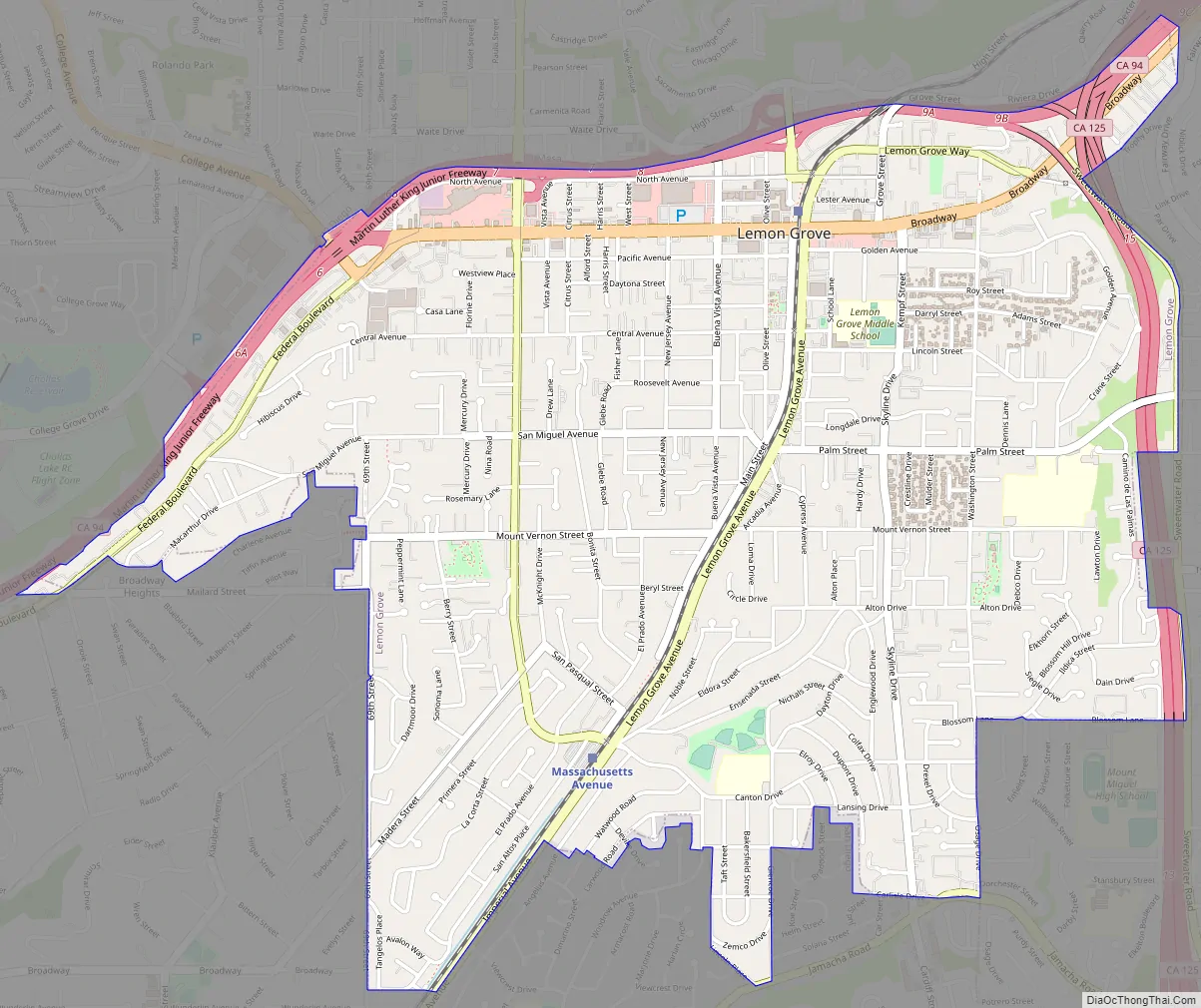
Lemon Grove Road Map
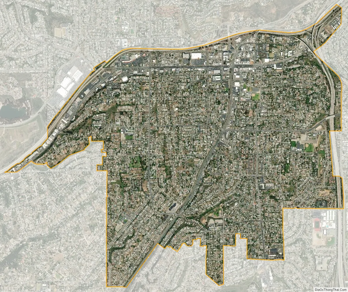
Lemon Grove city Satellite Map
Geography
Lemon Grove is located at 32°44′0″N 117°2′1″W / 32.73333°N 117.03361°W / 32.73333; -117.03361 (32.733451, −117.033702).
According to the United States Census Bureau, the city has a total area of 3.9 square miles (10 km), all land.
See also
Map of California State and its subdivision:- Alameda
- Alpine
- Amador
- Butte
- Calaveras
- Colusa
- Contra Costa
- Del Norte
- El Dorado
- Fresno
- Glenn
- Humboldt
- Imperial
- Inyo
- Kern
- Kings
- Lake
- Lassen
- Los Angeles
- Madera
- Marin
- Mariposa
- Mendocino
- Merced
- Modoc
- Mono
- Monterey
- Napa
- Nevada
- Orange
- Placer
- Plumas
- Riverside
- Sacramento
- San Benito
- San Bernardino
- San Diego
- San Francisco
- San Joaquin
- San Luis Obispo
- San Mateo
- Santa Barbara
- Santa Clara
- Santa Cruz
- Shasta
- Sierra
- Siskiyou
- Solano
- Sonoma
- Stanislaus
- Sutter
- Tehama
- Trinity
- Tulare
- Tuolumne
- Ventura
- Yolo
- Yuba
- Alabama
- Alaska
- Arizona
- Arkansas
- California
- Colorado
- Connecticut
- Delaware
- District of Columbia
- Florida
- Georgia
- Hawaii
- Idaho
- Illinois
- Indiana
- Iowa
- Kansas
- Kentucky
- Louisiana
- Maine
- Maryland
- Massachusetts
- Michigan
- Minnesota
- Mississippi
- Missouri
- Montana
- Nebraska
- Nevada
- New Hampshire
- New Jersey
- New Mexico
- New York
- North Carolina
- North Dakota
- Ohio
- Oklahoma
- Oregon
- Pennsylvania
- Rhode Island
- South Carolina
- South Dakota
- Tennessee
- Texas
- Utah
- Vermont
- Virginia
- Washington
- West Virginia
- Wisconsin
- Wyoming


