Little River (formerly known as Littleriver, Bell’s Harbor, and Kent’s Landing) is a small census-designated place in Mendocino County, California, United States. It lies at an elevation of 66 feet (20 m), 3 miles (5 km) south of the town of Mendocino and running along the Pacific Ocean coast on State Route 1. The town takes its name from the nearby Little River. The town center sits on a scenic bluff overlooking the mouth of the Little River and hosts a grocery store, two gas pumps, a post office, and a restaurant within a single structure. The population was 94 at the 2020 census, down from 117 at the 2010 census.
| Name: | Little River CDP |
|---|---|
| LSAD Code: | 57 |
| LSAD Description: | CDP (suffix) |
| State: | California |
| County: | Mendocino County |
| Elevation: | 66 ft (20 m) |
| Total Area: | 1.672 sq mi (4.33 km²) |
| Land Area: | 1.672 sq mi (4.33 km²) |
| Water Area: | 0 sq mi (0 km²) 0% |
| Total Population: | 94 |
| Population Density: | 56/sq mi (22/km²) |
| ZIP code: | 95456 |
| Area code: | 707 |
| FIPS code: | 0641866 |
| GNISfeature ID: | 1658981; 2628752 |
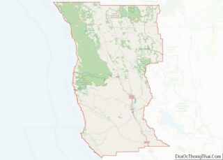
Online Interactive Map
Click on ![]() to view map in "full screen" mode.
to view map in "full screen" mode.
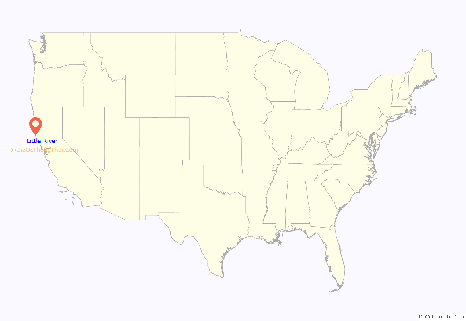
Little River location map. Where is Little River CDP?
History
Little River was first settled by three Beall men (pronounced Bell). They are thought to have arrived between 1852 and 1856 and are listed on the 1860 Mendocino County census, Big River township: Lloyd (56 years, a farmer born in Tennessee), Samuel (26 years, a farmer born in Missouri), and Harvey (24 years, a stock man born in Missouri). The Bealls joined the Moore Brothers who had preempted land and erected dwellings a short distance from the ocean north of the bay. Shortly after, in 1856, W.H. Kent purchased the Beall tract. The place was known as “Beall’s Harbor” and “Kent’s Landing” until 1864, when the name was changed to “Littleriver Bay”. Ruel Stickney, Silas Coombs, and Tapping Reeves built a mill here, which provided the stimulus for the formation of the town of Little River. The town grew with the success of the mill so that eventually a schoolhouse, post house, shipyard, hotels, stores and blacksmith shops all established themselves here.
Little River prospered in a similar way to many other towns on the Mendocino Coast until the nearby inland timber stands faltered. In the case of Little River, the mill closed in 1893. The loss of the mill shrunk the town, and since that time it has served mainly as a tourist destination due to its beaches and Van Damme State Park, which the Little River runs through. The first road that ran through this area was the Anderson Valley and Big River Wagon Road. This road was likely widened and altered over the years until it was eventually added to the State Highway System.
The Little River post office opened in 1865, changed its name to Littleriver in 1894, closed in 1929, and re-opened as Little River in 1930.
Little River Road Map
Little River city Satellite Map
Geography
Little River is located on the western coast of Mendocino County (and the United States) along California State Route 1, 3 miles (5 km) south of Mendocino and 4 miles (6 km) north of Albion. The Little River passes through the northern part of the community, emptying into the Pacific Ocean at Van Damme Beach, part of Van Damme State Park, which extends east from the beach up the Little River valley, known as Fern Canyon.
According to the United States Census Bureau, the Little River CDP covers an area of 1.7 square miles (4.4 km), all of it land.
See also
Map of California State and its subdivision:- Alameda
- Alpine
- Amador
- Butte
- Calaveras
- Colusa
- Contra Costa
- Del Norte
- El Dorado
- Fresno
- Glenn
- Humboldt
- Imperial
- Inyo
- Kern
- Kings
- Lake
- Lassen
- Los Angeles
- Madera
- Marin
- Mariposa
- Mendocino
- Merced
- Modoc
- Mono
- Monterey
- Napa
- Nevada
- Orange
- Placer
- Plumas
- Riverside
- Sacramento
- San Benito
- San Bernardino
- San Diego
- San Francisco
- San Joaquin
- San Luis Obispo
- San Mateo
- Santa Barbara
- Santa Clara
- Santa Cruz
- Shasta
- Sierra
- Siskiyou
- Solano
- Sonoma
- Stanislaus
- Sutter
- Tehama
- Trinity
- Tulare
- Tuolumne
- Ventura
- Yolo
- Yuba
- Alabama
- Alaska
- Arizona
- Arkansas
- California
- Colorado
- Connecticut
- Delaware
- District of Columbia
- Florida
- Georgia
- Hawaii
- Idaho
- Illinois
- Indiana
- Iowa
- Kansas
- Kentucky
- Louisiana
- Maine
- Maryland
- Massachusetts
- Michigan
- Minnesota
- Mississippi
- Missouri
- Montana
- Nebraska
- Nevada
- New Hampshire
- New Jersey
- New Mexico
- New York
- North Carolina
- North Dakota
- Ohio
- Oklahoma
- Oregon
- Pennsylvania
- Rhode Island
- South Carolina
- South Dakota
- Tennessee
- Texas
- Utah
- Vermont
- Virginia
- Washington
- West Virginia
- Wisconsin
- Wyoming
