Lockeford is an unincorporated community in San Joaquin County, California, United States. For statistical purposes, the United States Census Bureau has defined Lockeford as a census-designated place (CDP). The census definition of the area may not precisely correspond to local understanding of the area with the same name. The population was 3,521 at the 2020 census, up from 3,233 at the 2010 census.
| Name: | Lockeford CDP |
|---|---|
| LSAD Code: | 57 |
| LSAD Description: | CDP (suffix) |
| State: | California |
| County: | San Joaquin County |
| Elevation: | 102 ft (31 m) |
| Total Area: | 8.387 sq mi (21.723 km²) |
| Land Area: | 8.341 sq mi (21.603 km²) |
| Water Area: | 0.046 sq mi (0.120 km²) 0.55% |
| Total Population: | 3,521 |
| Population Density: | 420/sq mi (160/km²) |
| ZIP code: | 95237 |
| Area code: | 209 |
| FIPS code: | 0642104 |
| GNISfeature ID: | 0277543 |
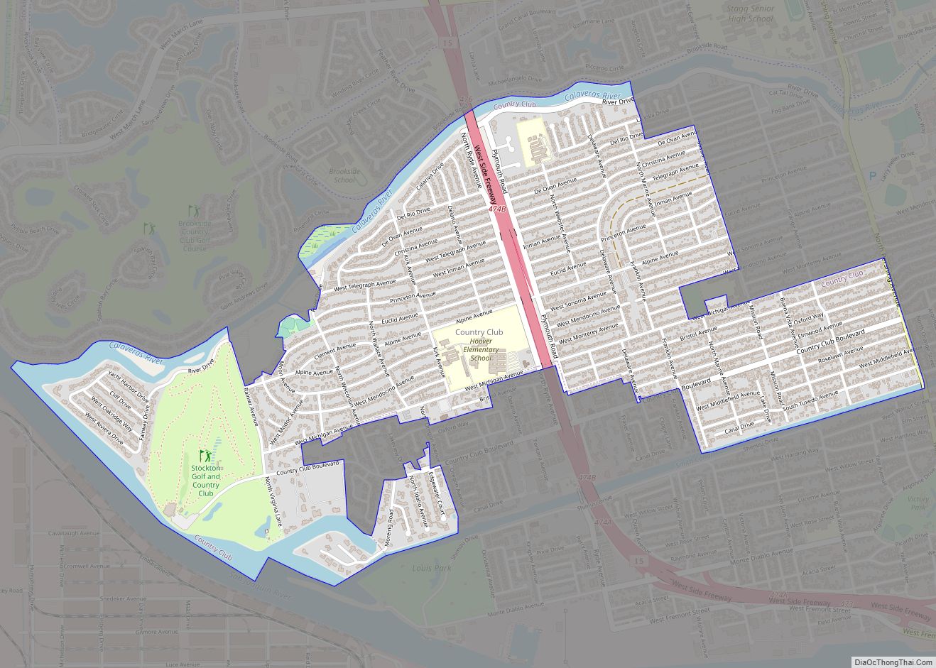
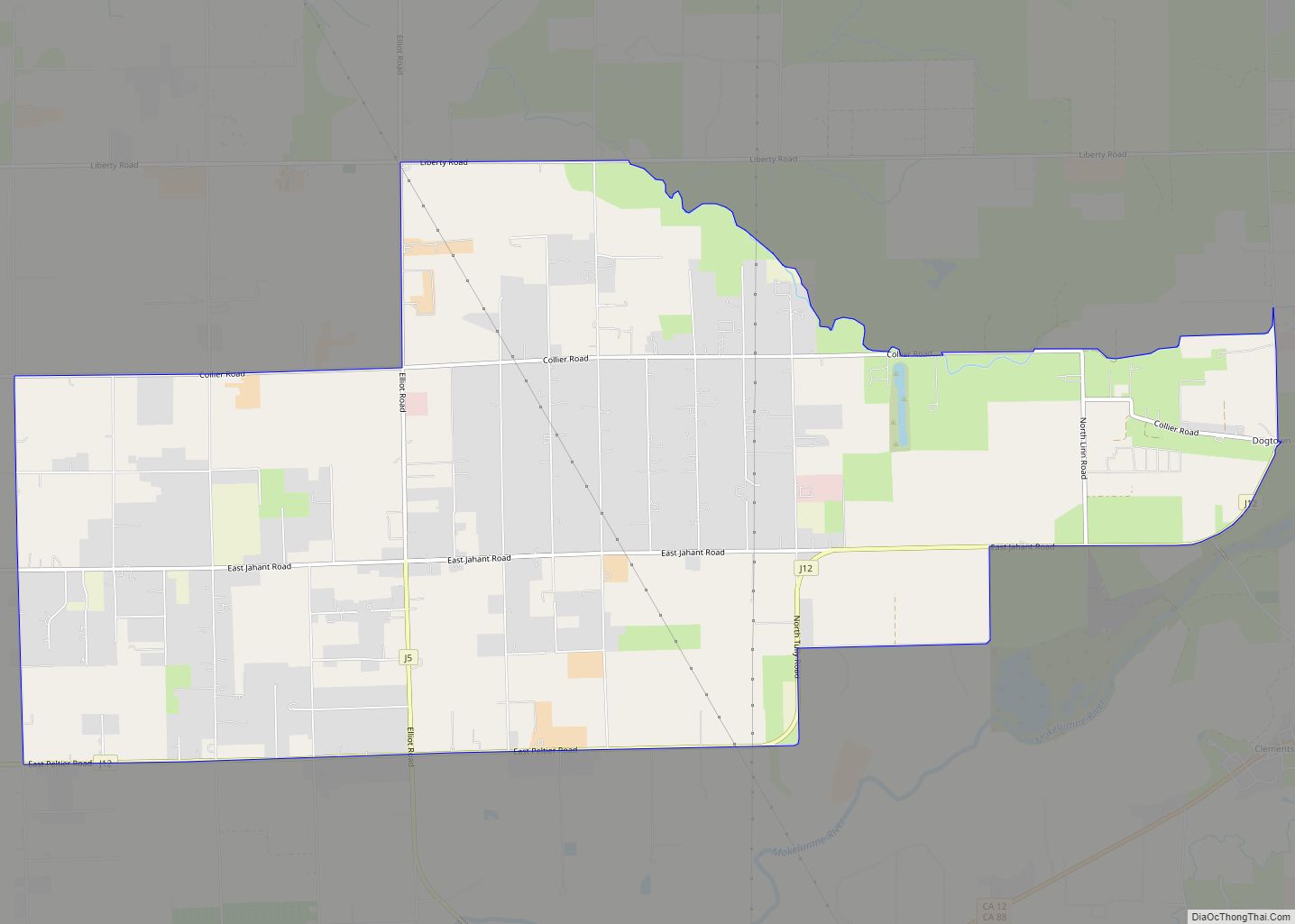
Online Interactive Map
Click on ![]() to view map in "full screen" mode.
to view map in "full screen" mode.
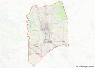
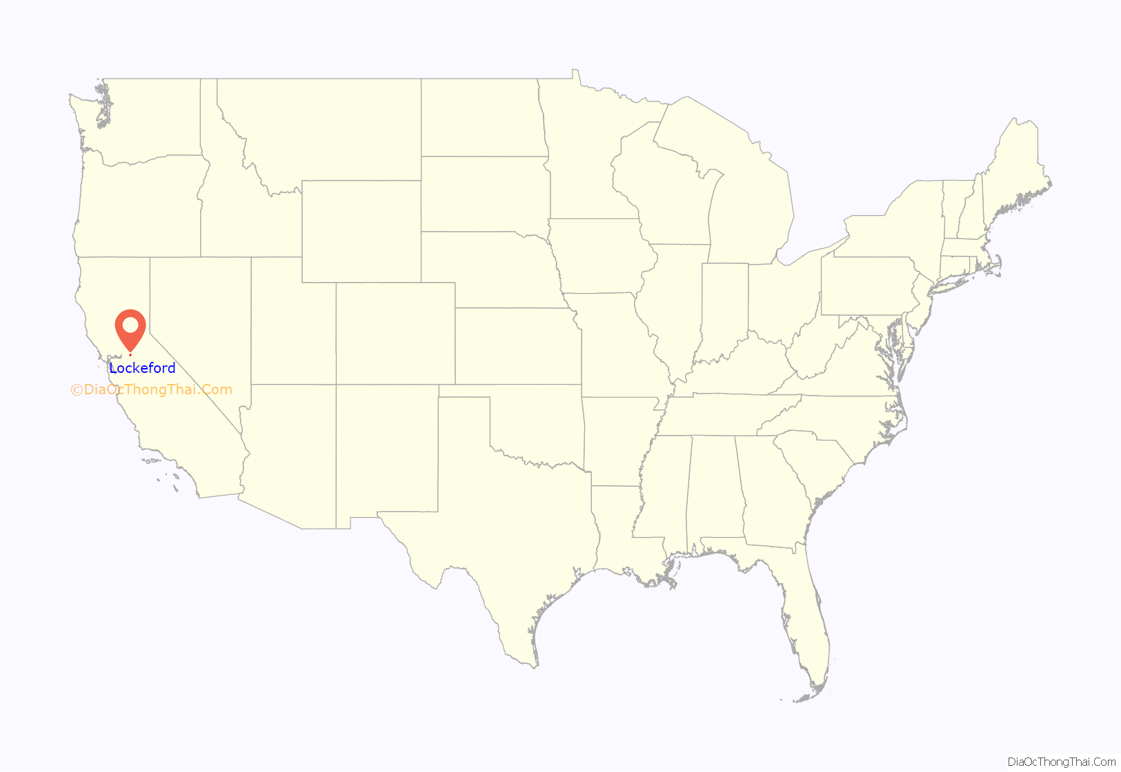
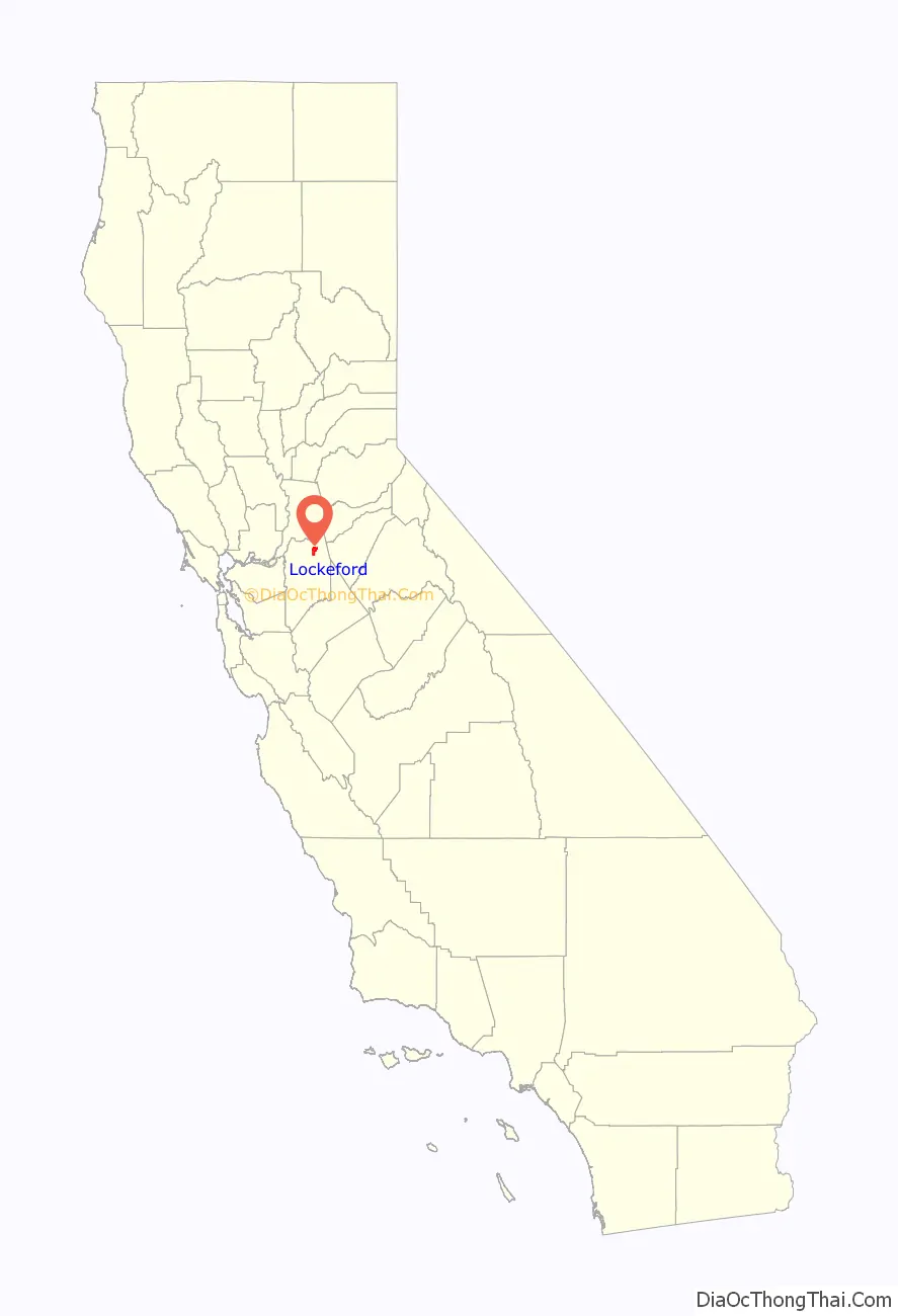
Lockeford location map. Where is Lockeford CDP?
History
Lockeford is registered as California Historical Landmark #365. The town is named after Dean Jewett Locke, who, with his brother Elmer, settled in the area in 1851. Dean Locke then established a ranch and later the town in the region. It was Dean Locke’s wife Delia who first coined the name “Lockeford” in 1859, referencing the ford that he built across the Mokelumne River. Delia Locke’s diaries chronicled the early history of Lockeford and her family’s history in founding the town. They are available at the University of the Pacific.
On June 13, 2022, Amazon announced that customers in Lockeford will be among the first in the United States to receive Amazon orders via the Amazon Prime Air drone delivery program.
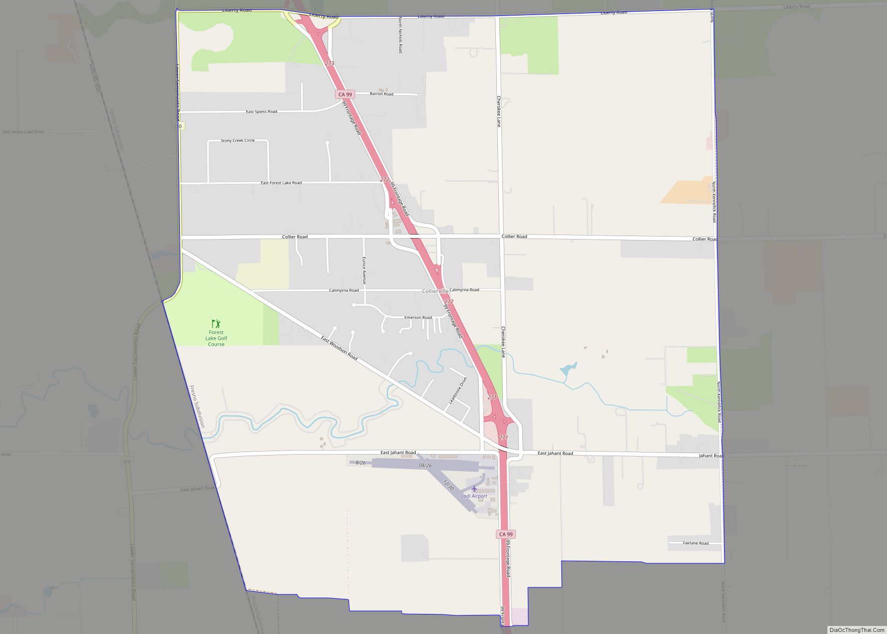
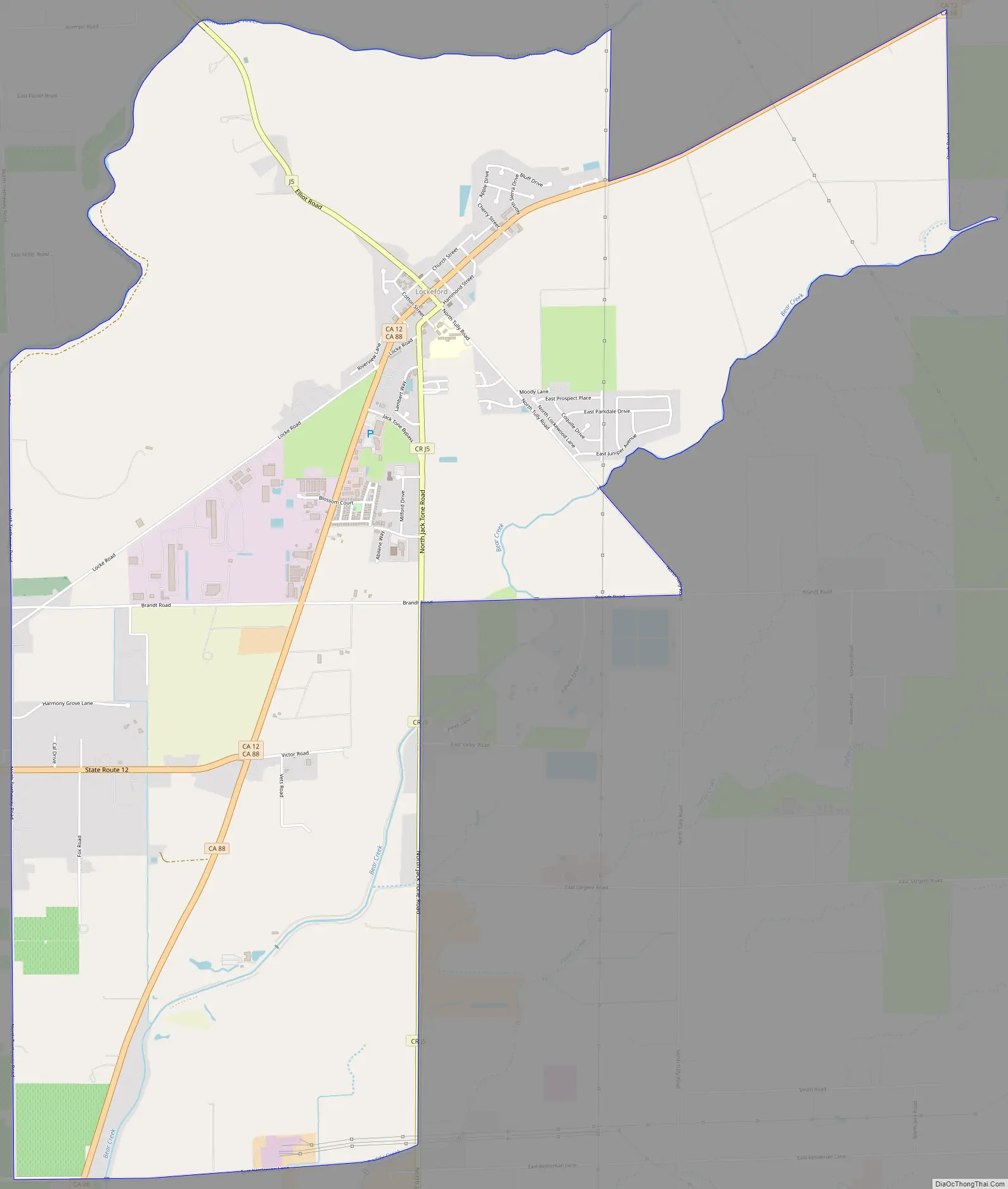
Lockeford Road Map
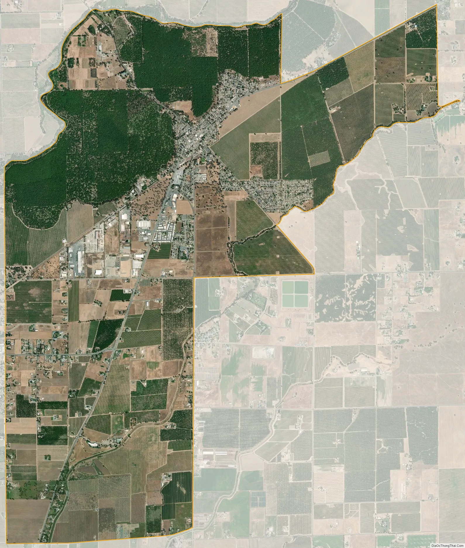
Lockeford city Satellite Map
Geography
Lockeford is located at 38°9′27″N 121°9′5″W / 38.15750°N 121.15139°W / 38.15750; -121.15139 (38.157565, -121.151455).
According to the United States Census Bureau, the CDP has a total area of 8.4 square miles (22 km), 99.45% of it land, and 0.55% of it water.
The town is served by California State Route 88, one of four routes that crosses over the Sierra Nevada in the region.
See also
Map of California State and its subdivision:- Alameda
- Alpine
- Amador
- Butte
- Calaveras
- Colusa
- Contra Costa
- Del Norte
- El Dorado
- Fresno
- Glenn
- Humboldt
- Imperial
- Inyo
- Kern
- Kings
- Lake
- Lassen
- Los Angeles
- Madera
- Marin
- Mariposa
- Mendocino
- Merced
- Modoc
- Mono
- Monterey
- Napa
- Nevada
- Orange
- Placer
- Plumas
- Riverside
- Sacramento
- San Benito
- San Bernardino
- San Diego
- San Francisco
- San Joaquin
- San Luis Obispo
- San Mateo
- Santa Barbara
- Santa Clara
- Santa Cruz
- Shasta
- Sierra
- Siskiyou
- Solano
- Sonoma
- Stanislaus
- Sutter
- Tehama
- Trinity
- Tulare
- Tuolumne
- Ventura
- Yolo
- Yuba
- Alabama
- Alaska
- Arizona
- Arkansas
- California
- Colorado
- Connecticut
- Delaware
- District of Columbia
- Florida
- Georgia
- Hawaii
- Idaho
- Illinois
- Indiana
- Iowa
- Kansas
- Kentucky
- Louisiana
- Maine
- Maryland
- Massachusetts
- Michigan
- Minnesota
- Mississippi
- Missouri
- Montana
- Nebraska
- Nevada
- New Hampshire
- New Jersey
- New Mexico
- New York
- North Carolina
- North Dakota
- Ohio
- Oklahoma
- Oregon
- Pennsylvania
- Rhode Island
- South Carolina
- South Dakota
- Tennessee
- Texas
- Utah
- Vermont
- Virginia
- Washington
- West Virginia
- Wisconsin
- Wyoming