Manton is a census-designated place (CDP) partially in Tehama County, California, United States. It is also in Shasta County. The population in the Tehama County portion was 347 at the 2010 census, down from 372 at the 2000 census.
| Name: | Manton CDP |
|---|---|
| LSAD Code: | 57 |
| LSAD Description: | CDP (suffix) |
| State: | California |
| County: | Tehama County |
| Elevation: | 2,008 ft (612 m) |
| Total Area: | 17.722 sq mi (45.901 km²) |
| Land Area: | 17.696 sq mi (45.833 km²) |
| Water Area: | 0.026 sq mi (0.067 km²) 0.15% |
| Total Population: | 310 |
| Population Density: | 17/sq mi (6.8/km²) |
| ZIP code: | 96059 |
| Area code: | 530 |
| FIPS code: | 0645512 |
| GNISfeature ID: | 1659048 |
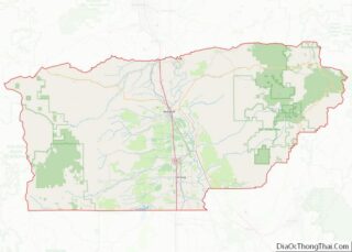
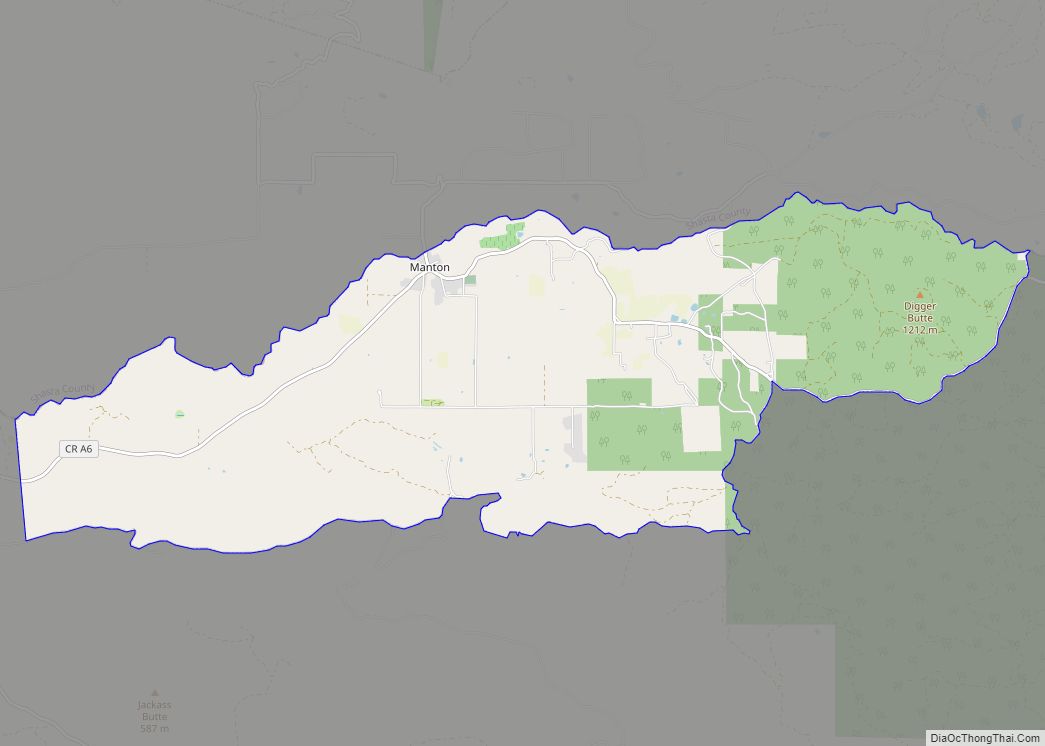
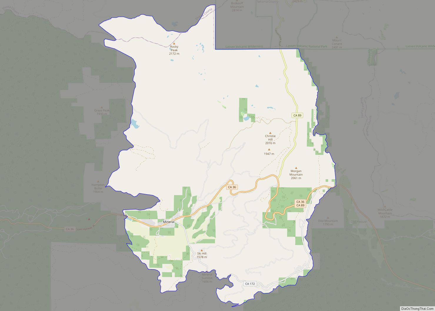
Online Interactive Map
Click on ![]() to view map in "full screen" mode.
to view map in "full screen" mode.
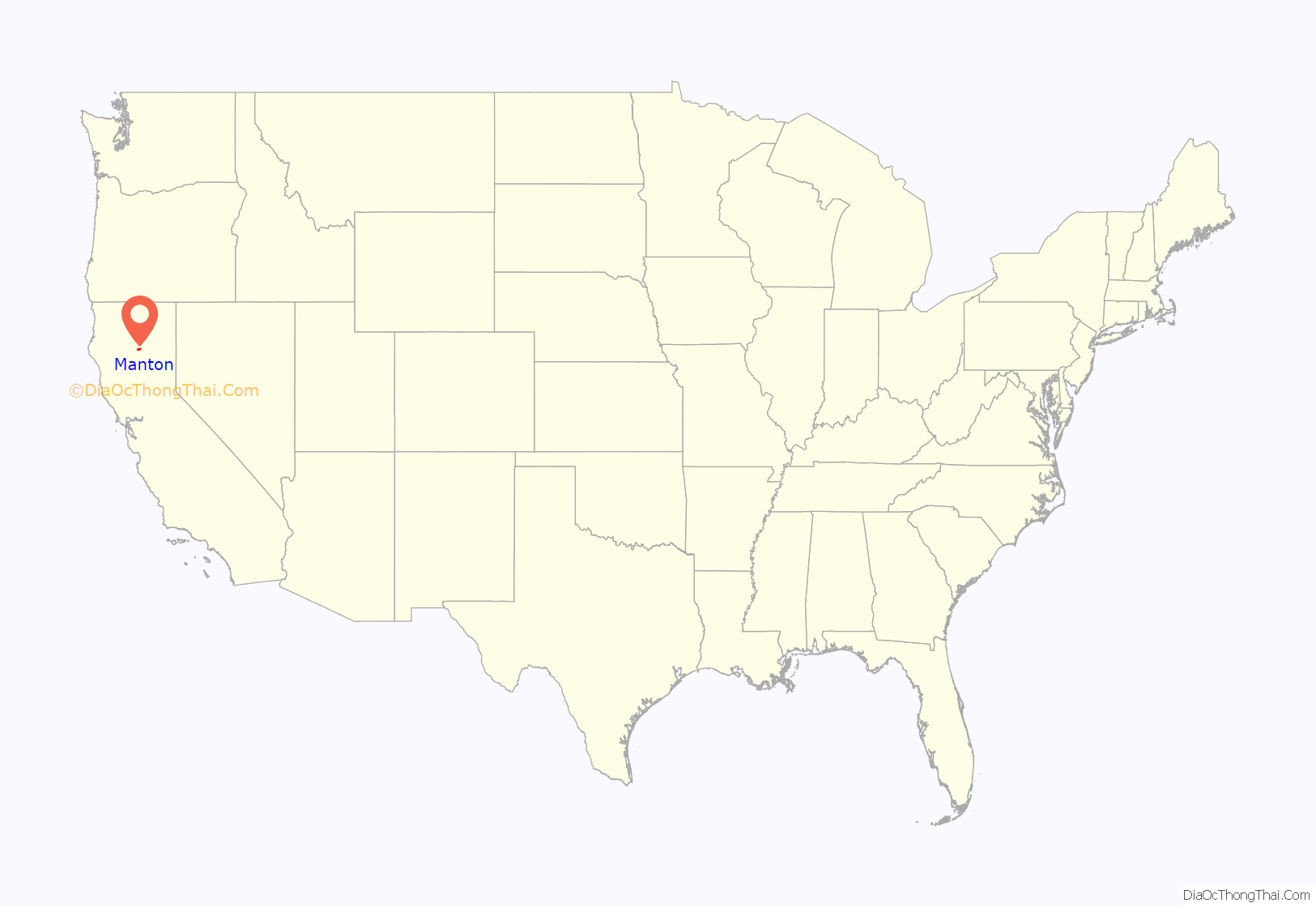
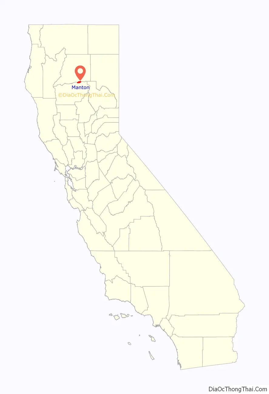
Manton location map. Where is Manton CDP?
History
A post office called Manton has been in operation since 1889. According to tradition, the town derives its name from “Man’s Town” because a large share of the first settlers were males.
In August 2005, the town was overrun by a forest fire which destroyed several homes and forced the evacuation of the entire town. There were no injuries.
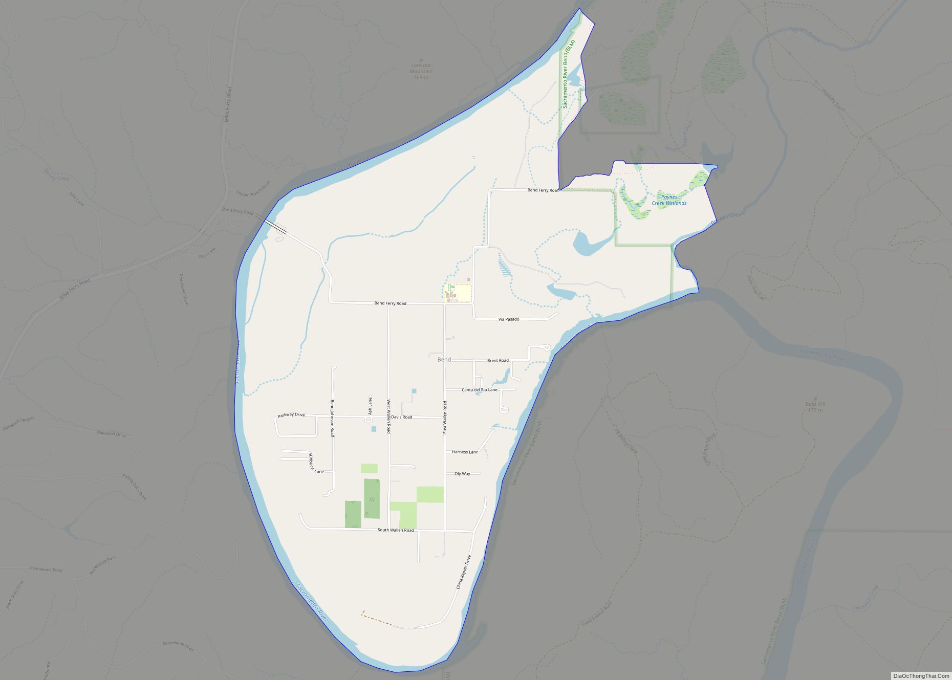
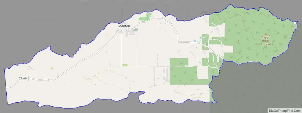
Manton Road Map
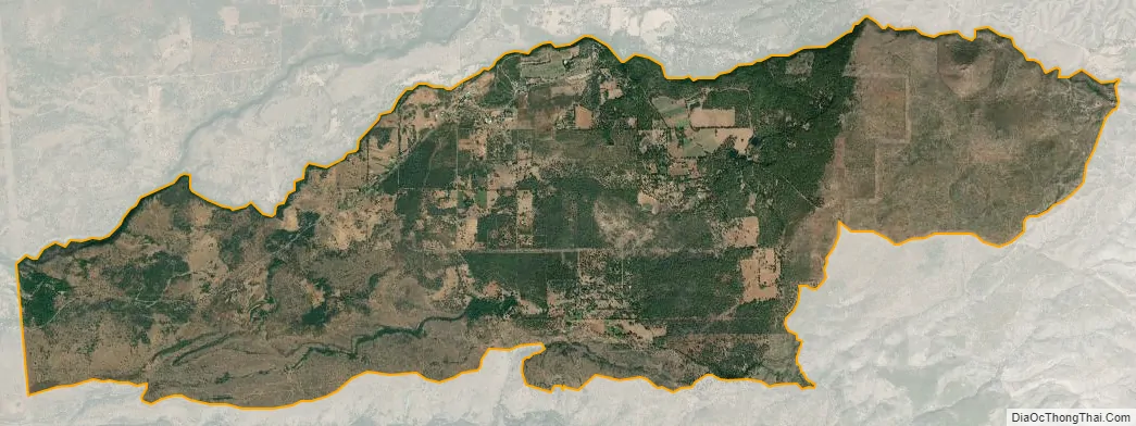
Manton city Satellite Map
Geography
Manton is located at 40°25′8″N 121°51′49″W / 40.41889°N 121.86361°W / 40.41889; -121.86361 (40.419020, -121.863519).
According to the United States Census Bureau, the CDP has a total area of 17.7 square miles (46 km), 99.85% of it land and 0.15% of it water.
Climate
This region experiences very hot and dry summers, with average monthly temperatures in July, August and September over 70 °F. According to the Köppen Climate Classification system, Manton has a warm-summer Mediterranean climate, abbreviated “Csb” on climate maps.
See also
Map of California State and its subdivision:- Alameda
- Alpine
- Amador
- Butte
- Calaveras
- Colusa
- Contra Costa
- Del Norte
- El Dorado
- Fresno
- Glenn
- Humboldt
- Imperial
- Inyo
- Kern
- Kings
- Lake
- Lassen
- Los Angeles
- Madera
- Marin
- Mariposa
- Mendocino
- Merced
- Modoc
- Mono
- Monterey
- Napa
- Nevada
- Orange
- Placer
- Plumas
- Riverside
- Sacramento
- San Benito
- San Bernardino
- San Diego
- San Francisco
- San Joaquin
- San Luis Obispo
- San Mateo
- Santa Barbara
- Santa Clara
- Santa Cruz
- Shasta
- Sierra
- Siskiyou
- Solano
- Sonoma
- Stanislaus
- Sutter
- Tehama
- Trinity
- Tulare
- Tuolumne
- Ventura
- Yolo
- Yuba
- Alabama
- Alaska
- Arizona
- Arkansas
- California
- Colorado
- Connecticut
- Delaware
- District of Columbia
- Florida
- Georgia
- Hawaii
- Idaho
- Illinois
- Indiana
- Iowa
- Kansas
- Kentucky
- Louisiana
- Maine
- Maryland
- Massachusetts
- Michigan
- Minnesota
- Mississippi
- Missouri
- Montana
- Nebraska
- Nevada
- New Hampshire
- New Jersey
- New Mexico
- New York
- North Carolina
- North Dakota
- Ohio
- Oklahoma
- Oregon
- Pennsylvania
- Rhode Island
- South Carolina
- South Dakota
- Tennessee
- Texas
- Utah
- Vermont
- Virginia
- Washington
- West Virginia
- Wisconsin
- Wyoming