Mineral is a boundaried but unincorporated forest village in Tehama County, California, United States. It has been part of a much larger census-designated place since 1980, for which the population was 123 at the 2010 census, down from 143 at the 2000 census.
| Name: | Mineral CDP |
|---|---|
| LSAD Code: | 57 |
| LSAD Description: | CDP (suffix) |
| State: | California |
| County: | Tehama County |
| Elevation: | 4,918 ft (1,499 m) |
| Total Area: | 44.476 sq mi (115.192 km²) |
| Land Area: | 44.365 sq mi (114.905 km²) |
| Water Area: | 0.111 sq mi (0.287 km²) 0.25% |
| Total Population: | 123 |
| Population Density: | 2.8/sq mi (1.1/km²) |
| ZIP code: | 96061, 96063 |
| Area code: | 530 |
| FIPS code: | 0647794 |
| GNISfeature ID: | 1659139 |
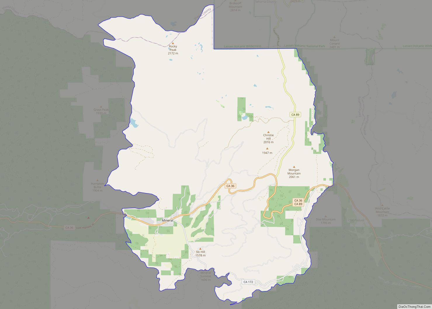
Online Interactive Map
Click on ![]() to view map in "full screen" mode.
to view map in "full screen" mode.
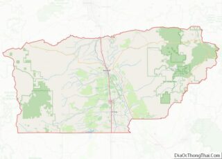
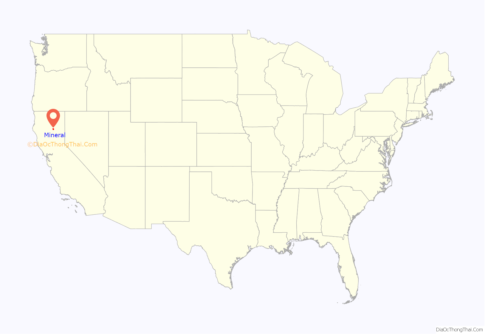
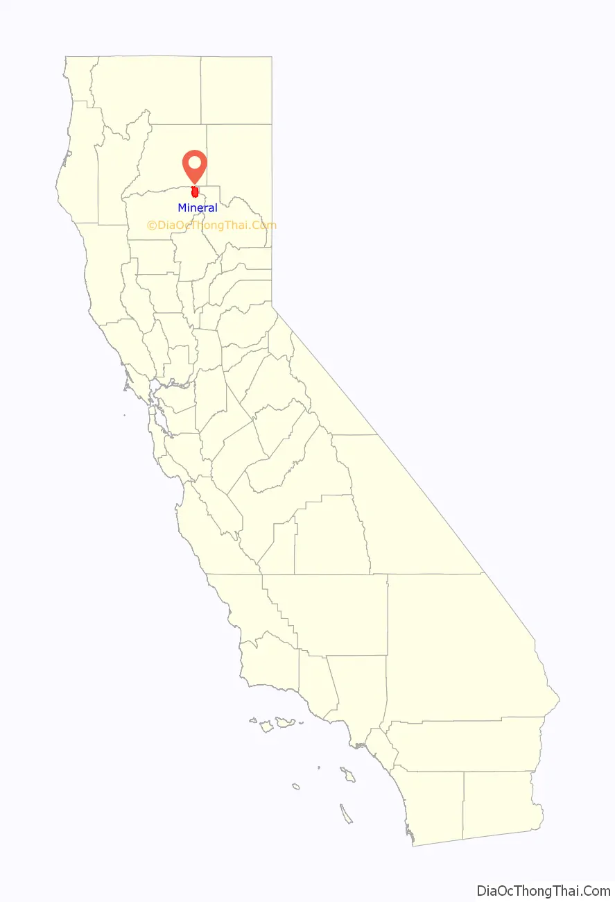
Mineral location map. Where is Mineral CDP?
History
The community was named for mineral springs near the original town site. A post office at Mineral was established in 1894.
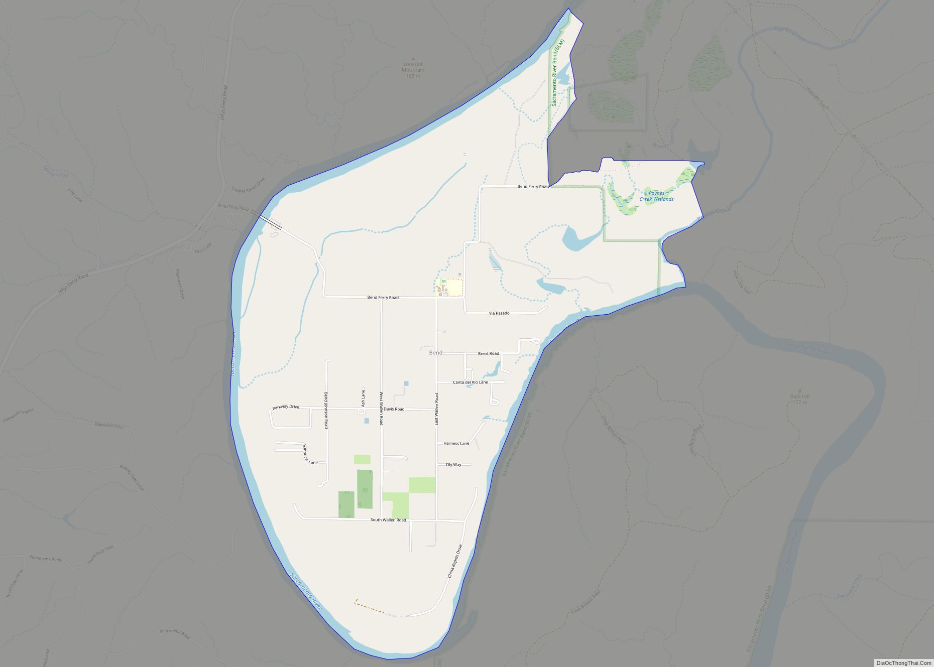
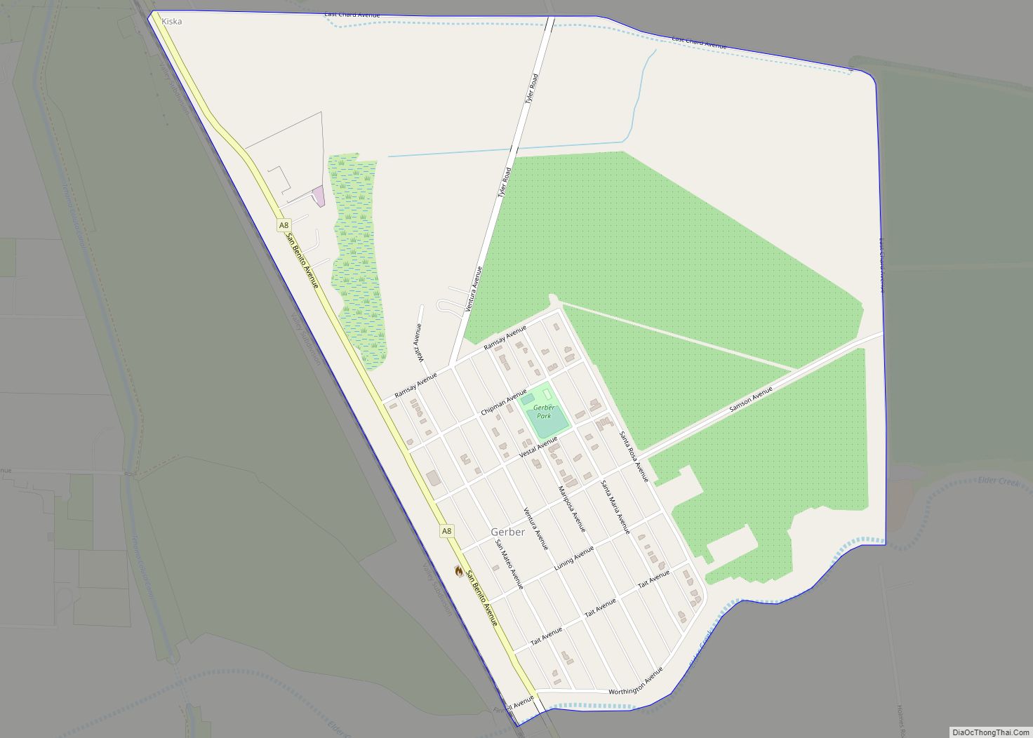
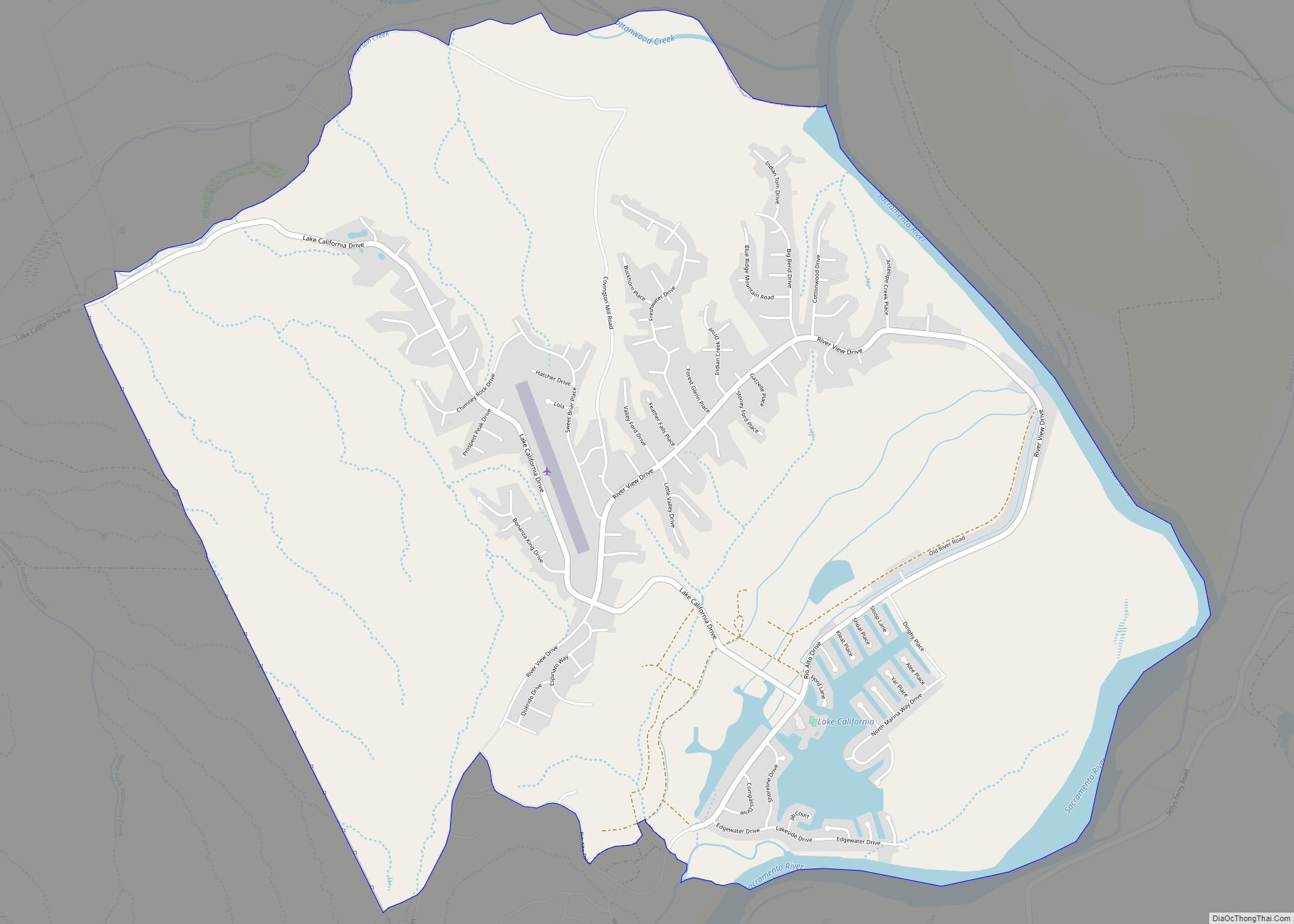
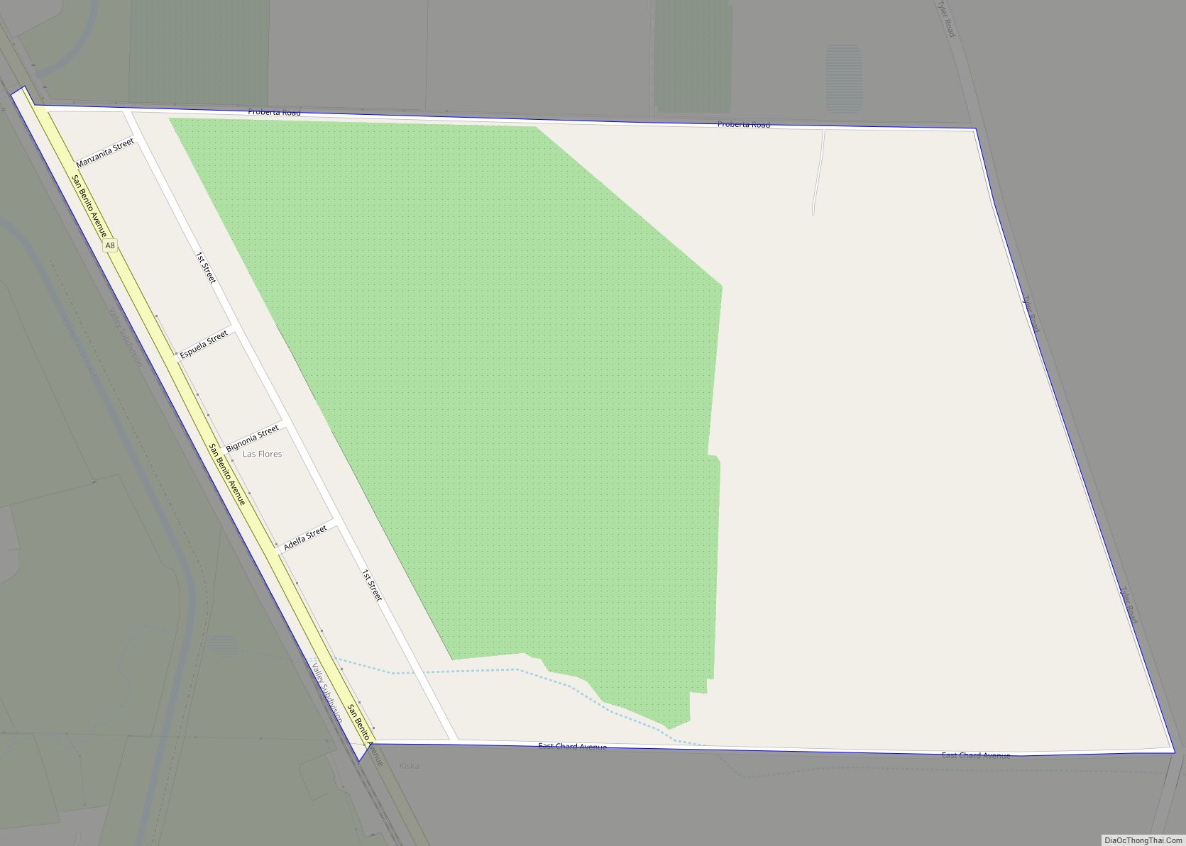
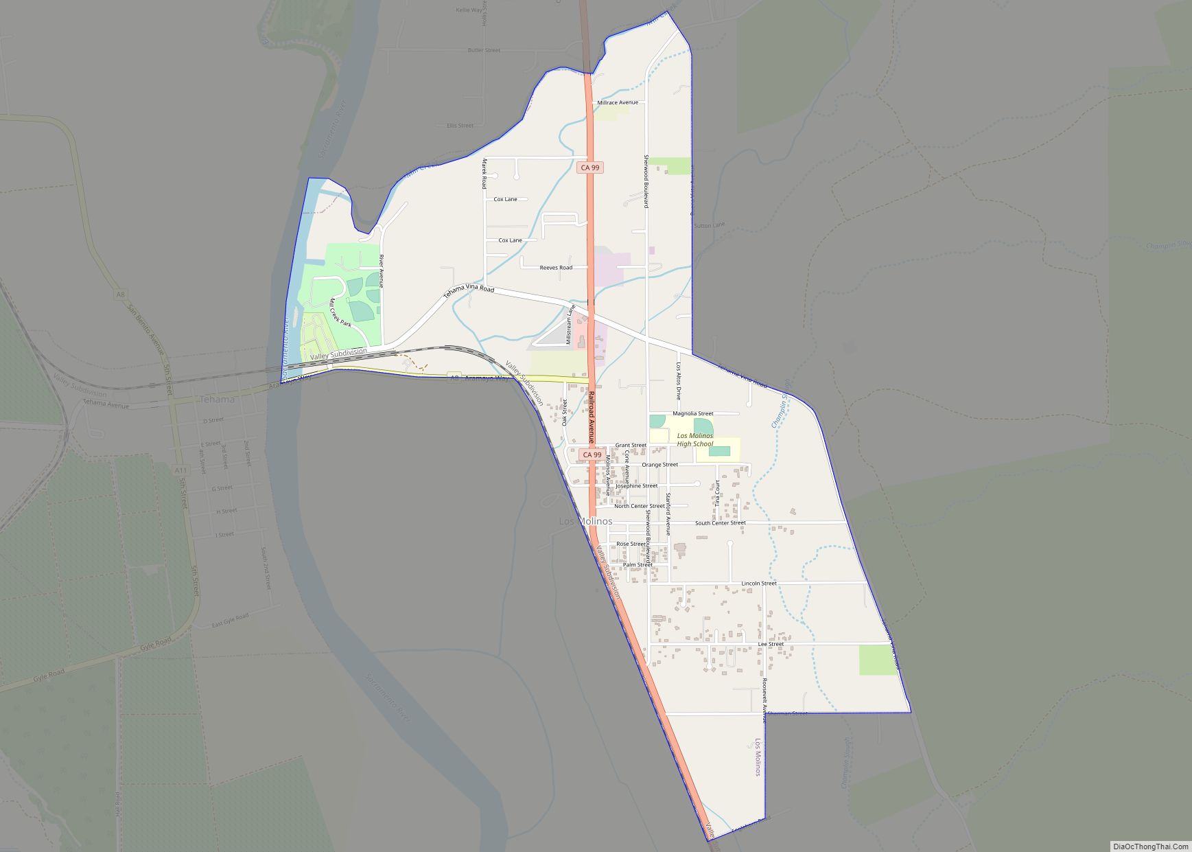
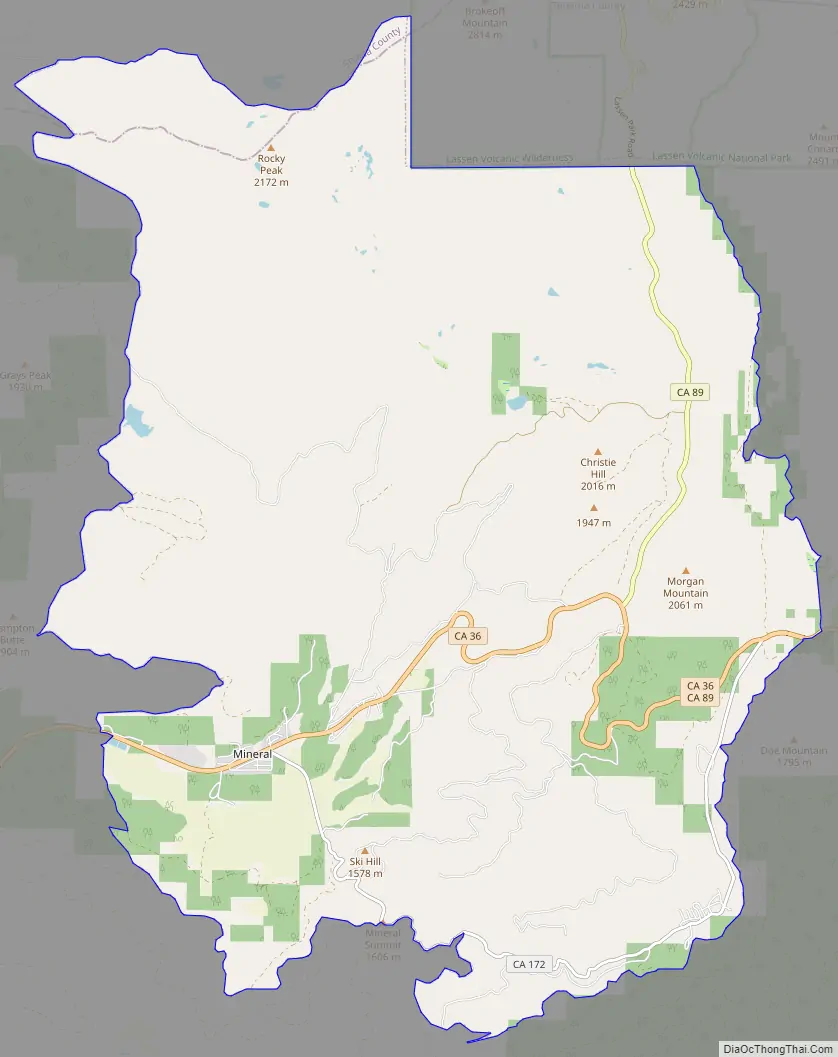
Mineral Road Map
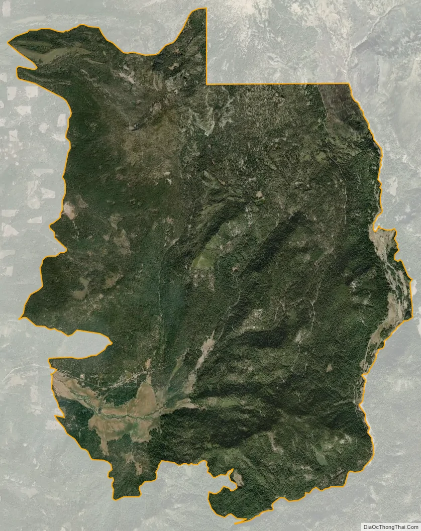
Mineral city Satellite Map
Geography
Mineral is located at 40°21′20″N 121°34′2″W / 40.35556°N 121.56722°W / 40.35556; -121.56722 (40.355686, -121.567333).
According to the United States Census Bureau, the CDP has a total area of 44.5 square miles (115 km), of which, 44.4 square miles (115 km) of it is land and 0.1 square miles (0.26 km) of it (0.25%) is water.
Climate
Mineral experiences warm and dry summers and cool, snowy winters. According to the Köppen climate classification system, Mineral has a warm-summer Mediterranean climate (Csb).
See also
Map of California State and its subdivision:- Alameda
- Alpine
- Amador
- Butte
- Calaveras
- Colusa
- Contra Costa
- Del Norte
- El Dorado
- Fresno
- Glenn
- Humboldt
- Imperial
- Inyo
- Kern
- Kings
- Lake
- Lassen
- Los Angeles
- Madera
- Marin
- Mariposa
- Mendocino
- Merced
- Modoc
- Mono
- Monterey
- Napa
- Nevada
- Orange
- Placer
- Plumas
- Riverside
- Sacramento
- San Benito
- San Bernardino
- San Diego
- San Francisco
- San Joaquin
- San Luis Obispo
- San Mateo
- Santa Barbara
- Santa Clara
- Santa Cruz
- Shasta
- Sierra
- Siskiyou
- Solano
- Sonoma
- Stanislaus
- Sutter
- Tehama
- Trinity
- Tulare
- Tuolumne
- Ventura
- Yolo
- Yuba
- Alabama
- Alaska
- Arizona
- Arkansas
- California
- Colorado
- Connecticut
- Delaware
- District of Columbia
- Florida
- Georgia
- Hawaii
- Idaho
- Illinois
- Indiana
- Iowa
- Kansas
- Kentucky
- Louisiana
- Maine
- Maryland
- Massachusetts
- Michigan
- Minnesota
- Mississippi
- Missouri
- Montana
- Nebraska
- Nevada
- New Hampshire
- New Jersey
- New Mexico
- New York
- North Carolina
- North Dakota
- Ohio
- Oklahoma
- Oregon
- Pennsylvania
- Rhode Island
- South Carolina
- South Dakota
- Tennessee
- Texas
- Utah
- Vermont
- Virginia
- Washington
- West Virginia
- Wisconsin
- Wyoming