Mount Laguna is a small census-designated place (CDP) in San Diego County, California. It is approximately 6,000 feet (1,800 m) above sea level in a forest of Jeffrey pine, east of San Diego in the Laguna Mountains on the eastern edge of the Cleveland National Forest. The hamlet sits at the high point of a scenic drive on Sunrise Highway from Interstate 8 to Highway 79. Mount Laguna is on the Pacific Crest Trail. Mount Laguna consists of a small general store, rustic lodge and cabins, local restaurant, rural post office, and campgrounds adjacent to the Pacific Crest Trail. The Laguna Mountain Recreation Area surrounds the village, and the visitor’s center for the pine-covered area is located here. The mountain backcountry of San Diego County is high enough to receive snowfall in winter months, and the Mount Laguna region offers locally-unique winter recreation in the form of snow play, sledding, and cross country skiing for several days after larger storms. The population was 74 at the 2020 census, up from 57 at the 2010 census.
The ZIP Code is 91948 and the community is inside area code 619.
| Name: | Mount Laguna CDP |
|---|---|
| LSAD Code: | 57 |
| LSAD Description: | CDP (suffix) |
| State: | California |
| County: | San Diego County |
| Elevation: | 5,777 ft (1,761 m) |
| Total Area: | 1.697 sq mi (4.395 km²) |
| Land Area: | 1.697 sq mi (4.395 km²) |
| Water Area: | 0 sq mi (0 km²) 0% |
| Total Population: | 74 |
| Population Density: | 44/sq mi (17/km²) |
| ZIP code: | 91948 |
| Area code: | 619 |
| FIPS code: | 0649810 |
| GNISfeature ID: | 2628763 |
Online Interactive Map
Click on ![]() to view map in "full screen" mode.
to view map in "full screen" mode.
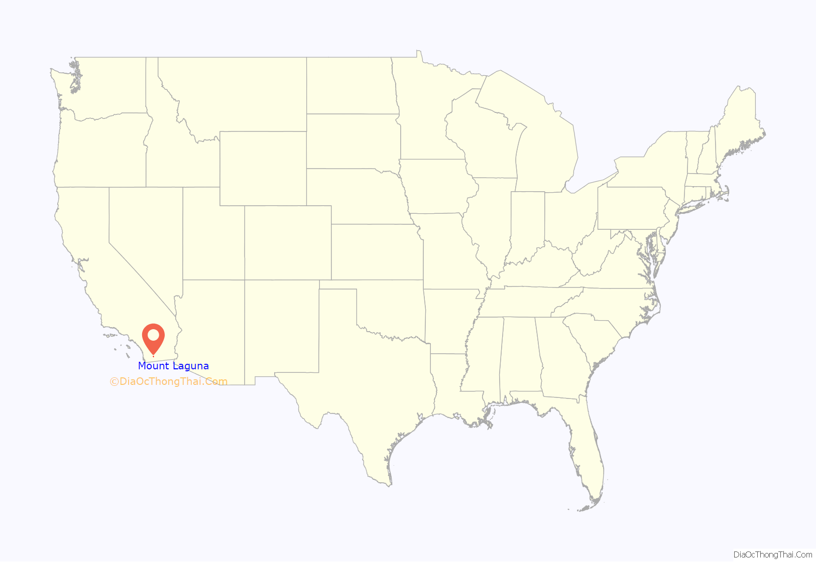
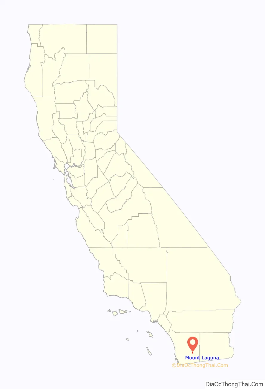
Mount Laguna location map. Where is Mount Laguna CDP?
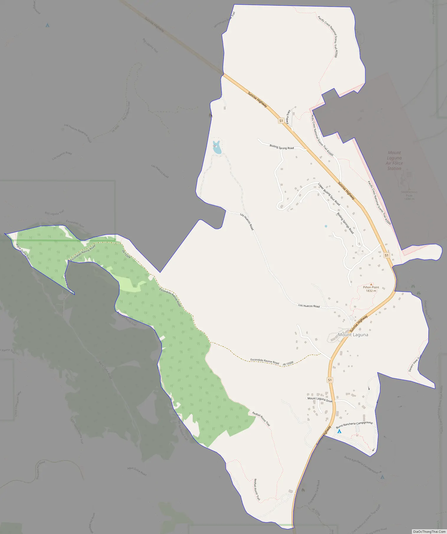
Mount Laguna Road Map
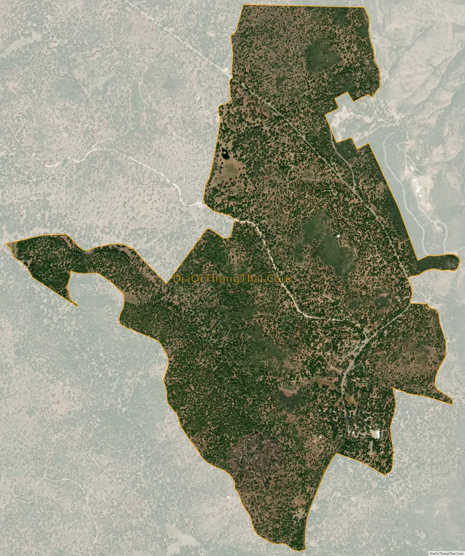
Mount Laguna city Satellite Map
Geography
According to the United States Census Bureau, the CDP covers an area of 1.7 square miles (4.4 km), all of it is land.
See also
Map of California State and its subdivision:- Alameda
- Alpine
- Amador
- Butte
- Calaveras
- Colusa
- Contra Costa
- Del Norte
- El Dorado
- Fresno
- Glenn
- Humboldt
- Imperial
- Inyo
- Kern
- Kings
- Lake
- Lassen
- Los Angeles
- Madera
- Marin
- Mariposa
- Mendocino
- Merced
- Modoc
- Mono
- Monterey
- Napa
- Nevada
- Orange
- Placer
- Plumas
- Riverside
- Sacramento
- San Benito
- San Bernardino
- San Diego
- San Francisco
- San Joaquin
- San Luis Obispo
- San Mateo
- Santa Barbara
- Santa Clara
- Santa Cruz
- Shasta
- Sierra
- Siskiyou
- Solano
- Sonoma
- Stanislaus
- Sutter
- Tehama
- Trinity
- Tulare
- Tuolumne
- Ventura
- Yolo
- Yuba
- Alabama
- Alaska
- Arizona
- Arkansas
- California
- Colorado
- Connecticut
- Delaware
- District of Columbia
- Florida
- Georgia
- Hawaii
- Idaho
- Illinois
- Indiana
- Iowa
- Kansas
- Kentucky
- Louisiana
- Maine
- Maryland
- Massachusetts
- Michigan
- Minnesota
- Mississippi
- Missouri
- Montana
- Nebraska
- Nevada
- New Hampshire
- New Jersey
- New Mexico
- New York
- North Carolina
- North Dakota
- Ohio
- Oklahoma
- Oregon
- Pennsylvania
- Rhode Island
- South Carolina
- South Dakota
- Tennessee
- Texas
- Utah
- Vermont
- Virginia
- Washington
- West Virginia
- Wisconsin
- Wyoming


