Paskenta (Wintun: Paskenti) is a small unincorporated town in Tehama County, California. Historically, it had greater local importance due to the presence of an active lumber mill. The ZIP Code is 96074. The community is inside area code 530 and the Paskenta CDP. Paskenta sits at an elevation of 725 feet (221 m). The 2010 United States census reported Paskenta’s population was 112. Paskenta was originally inhabited by a tribe of Nomlaki people who are now part of the federally-recognized Paskenta Band of Nomlaki Indians.
| Name: | Paskenta CDP |
|---|---|
| LSAD Code: | 57 |
| LSAD Description: | CDP (suffix) |
| State: | California |
| County: | Tehama County |
| Elevation: | 726 ft (221 m) |
| Total Area: | 1.081 sq mi (2.799 km²) |
| Land Area: | 1.081 sq mi (2.799 km²) |
| Water Area: | 0 sq mi (0 km²) 0% |
| Total Population: | 110 |
| Population Density: | 100/sq mi (39/km²) |
| ZIP code: | 96074 |
| Area code: | 530 |
| FIPS code: | 0656042 |
| GNISfeature ID: | 2628772 |
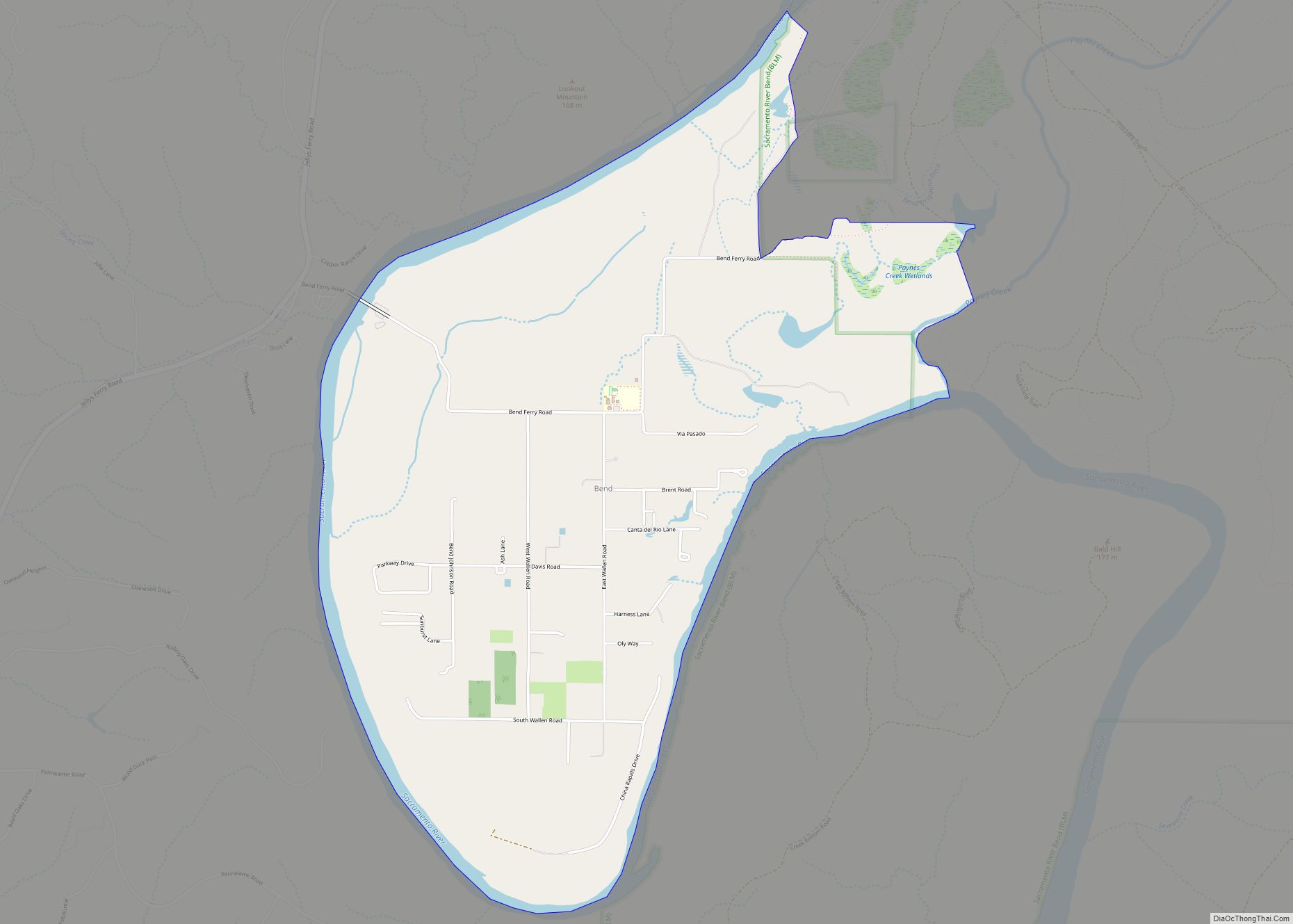
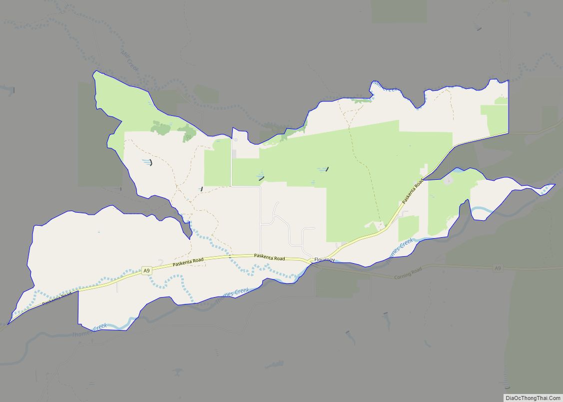
Online Interactive Map
Click on ![]() to view map in "full screen" mode.
to view map in "full screen" mode.
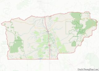
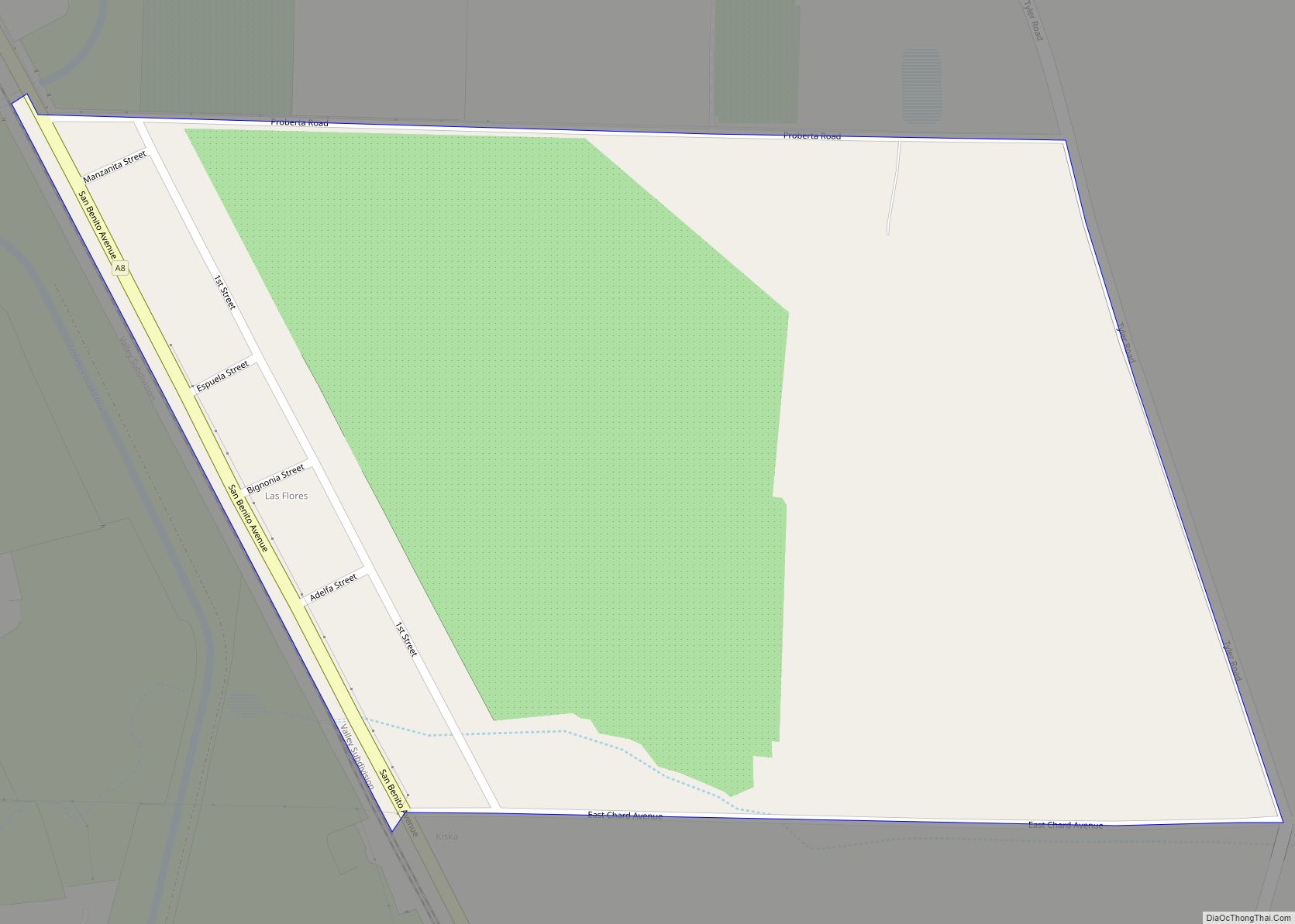
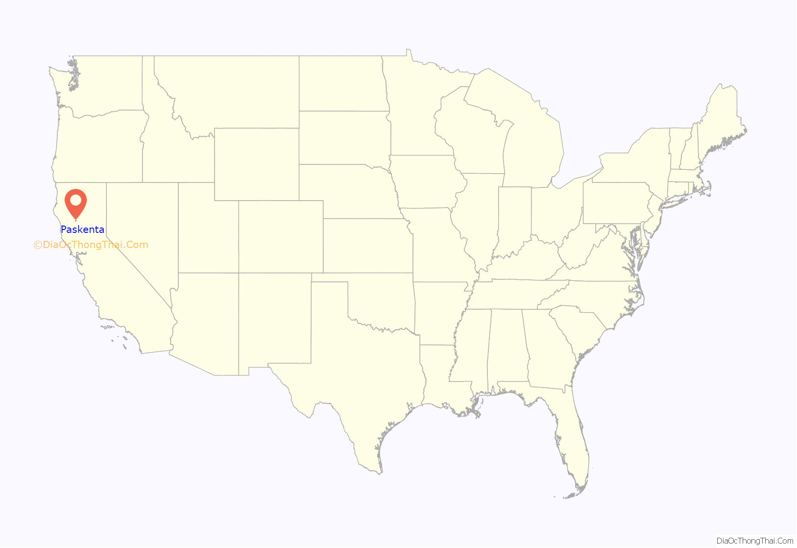
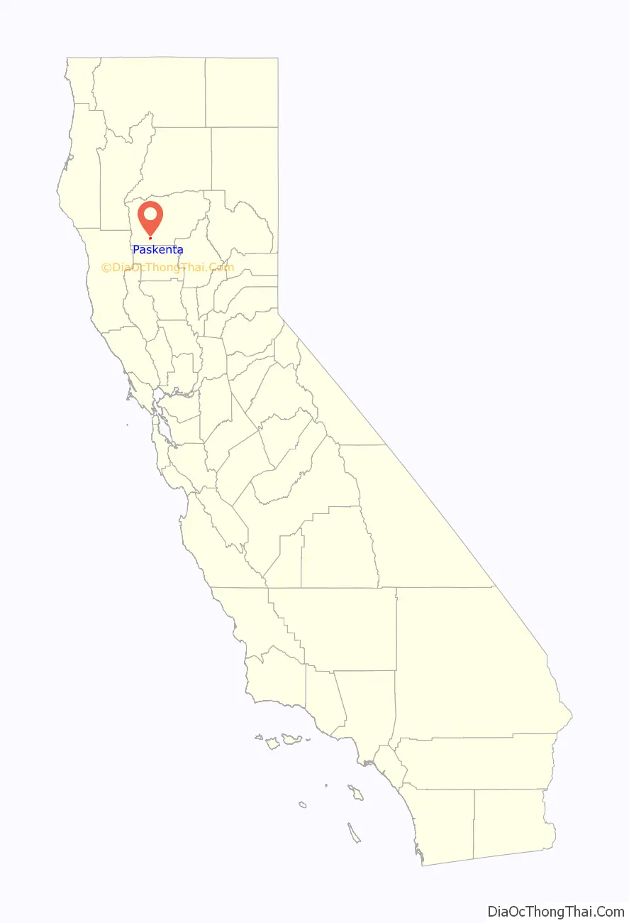
Paskenta location map. Where is Paskenta CDP?
History
Paskenta was originally inhabited by a Nomlaki tribe. In the Nomlaki (Central Wintun) language, “Paskenta” (paskenti) means “under the hill” or “under the bank”. The modern settlement was founded by Americans of European origin ca. 1860. A post office has been in operation there since 1872. The Paskenta Ranchería was established between 1906 and 1909 and is home to the Paskenta Band of Nomlaki Indians.
In 1980, Paskenta became the central inhabited cite within a larger census designated place (CDP), which was named after its host town.
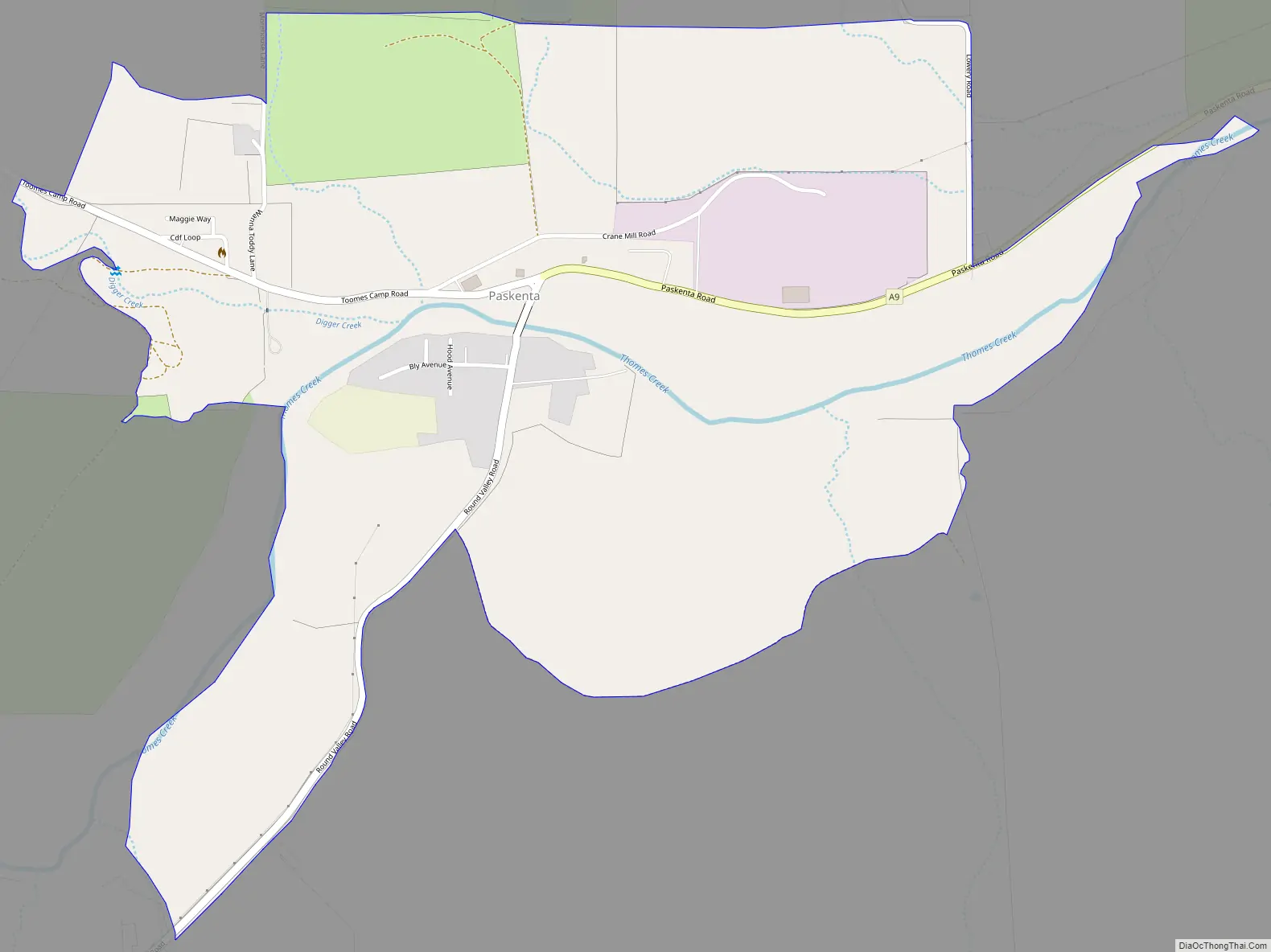
Paskenta Road Map
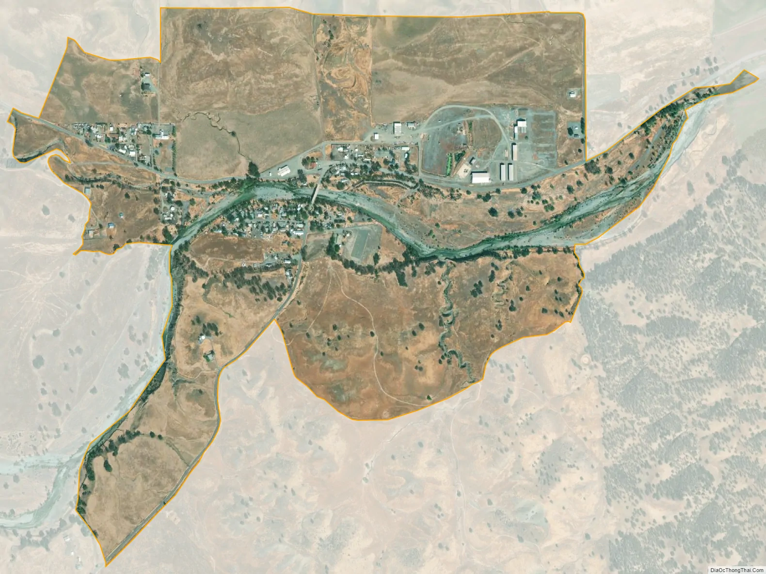
Paskenta city Satellite Map
Geography
According to the United States Census Bureau, the CDP covers an area of 1.1 square miles (2.8 km), all of it land.
See also
Map of California State and its subdivision:- Alameda
- Alpine
- Amador
- Butte
- Calaveras
- Colusa
- Contra Costa
- Del Norte
- El Dorado
- Fresno
- Glenn
- Humboldt
- Imperial
- Inyo
- Kern
- Kings
- Lake
- Lassen
- Los Angeles
- Madera
- Marin
- Mariposa
- Mendocino
- Merced
- Modoc
- Mono
- Monterey
- Napa
- Nevada
- Orange
- Placer
- Plumas
- Riverside
- Sacramento
- San Benito
- San Bernardino
- San Diego
- San Francisco
- San Joaquin
- San Luis Obispo
- San Mateo
- Santa Barbara
- Santa Clara
- Santa Cruz
- Shasta
- Sierra
- Siskiyou
- Solano
- Sonoma
- Stanislaus
- Sutter
- Tehama
- Trinity
- Tulare
- Tuolumne
- Ventura
- Yolo
- Yuba
- Alabama
- Alaska
- Arizona
- Arkansas
- California
- Colorado
- Connecticut
- Delaware
- District of Columbia
- Florida
- Georgia
- Hawaii
- Idaho
- Illinois
- Indiana
- Iowa
- Kansas
- Kentucky
- Louisiana
- Maine
- Maryland
- Massachusetts
- Michigan
- Minnesota
- Mississippi
- Missouri
- Montana
- Nebraska
- Nevada
- New Hampshire
- New Jersey
- New Mexico
- New York
- North Carolina
- North Dakota
- Ohio
- Oklahoma
- Oregon
- Pennsylvania
- Rhode Island
- South Carolina
- South Dakota
- Tennessee
- Texas
- Utah
- Vermont
- Virginia
- Washington
- West Virginia
- Wisconsin
- Wyoming