Philo is a census-designated place in Mendocino County, California, United States. It is located 6 miles (10 km) northwest of Boonville, at an elevation of 331 feet (101 m). The population was 319 at the 2020 census.
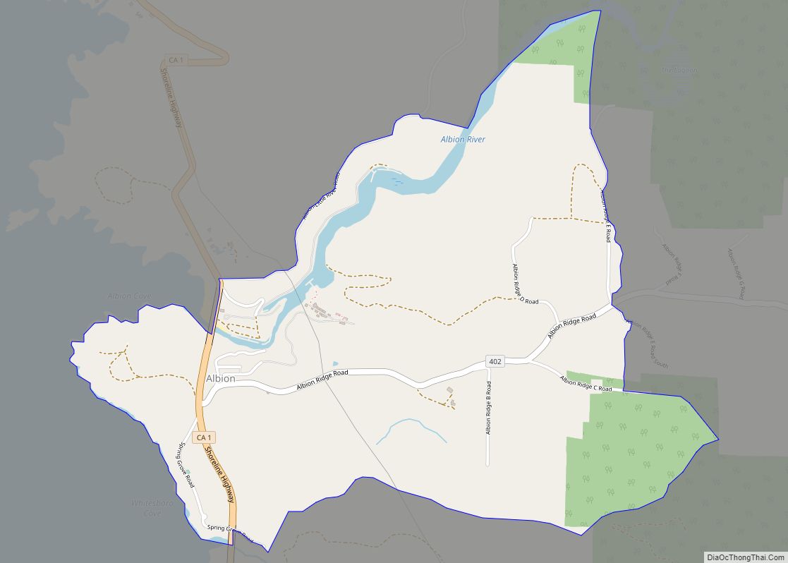
Philo is located in Anderson Valley in western Mendocino County. Situated along Indian Creek as it flows into the Navarro River, Philo is the home of KZYX, the local public radio station. Two small specialty lumber mills in Philo are all that remain of a once vigorous timber economy in Anderson Valley. Philo is the heart of the Anderson Valley wine region.
The first post office opened in 1888. The ZIP Code is 95466. The community is inside area code 707.
Two versions of how Philo was named are current: first, that its founder Cornelius Prather named it after his favorite female cousin; second, that he named it for his former home at Philo, Illinois.
| Name: | Philo CDP |
|---|---|
| LSAD Code: | 57 |
| LSAD Description: | CDP (suffix) |
| State: | California |
| County: | Mendocino County |
| Elevation: | 331 ft (101 m) |
| Total Area: | 2.067 sq mi (5.35 km²) |
| Land Area: | 2.067 sq mi (5.35 km²) |
| Water Area: | 0 sq mi (0 km²) 0% |
| Total Population: | 319 |
| ZIP code: | 95466 |
| Area code: | 707 |
| FIPS code: | 0656868 |
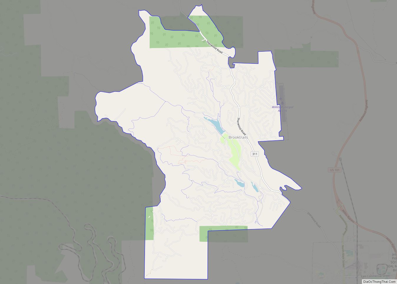
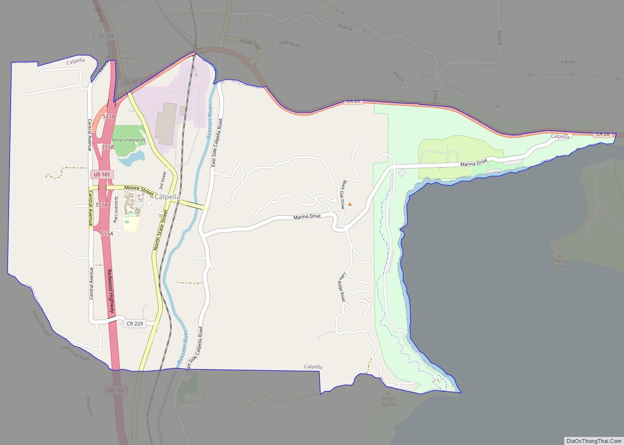
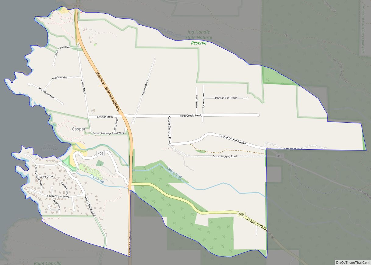
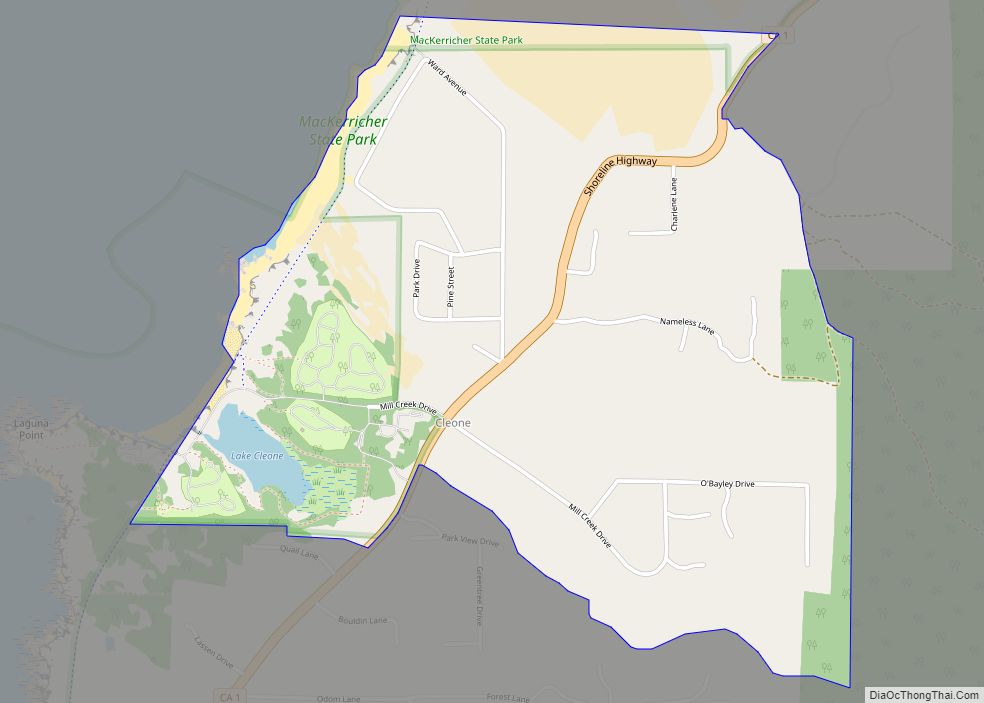
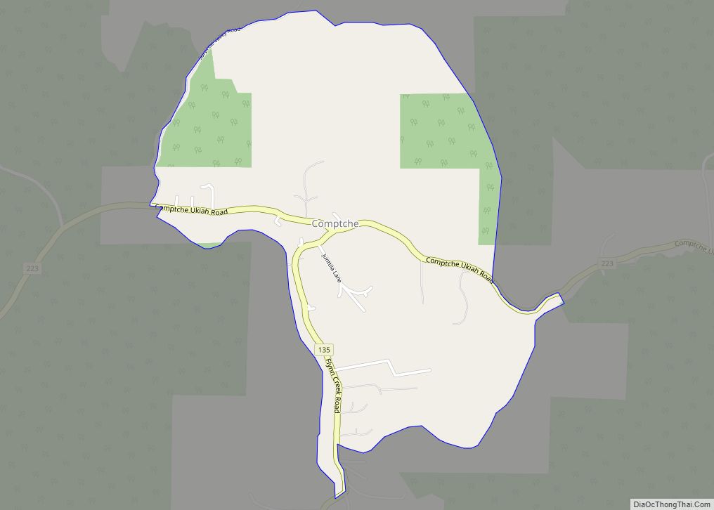
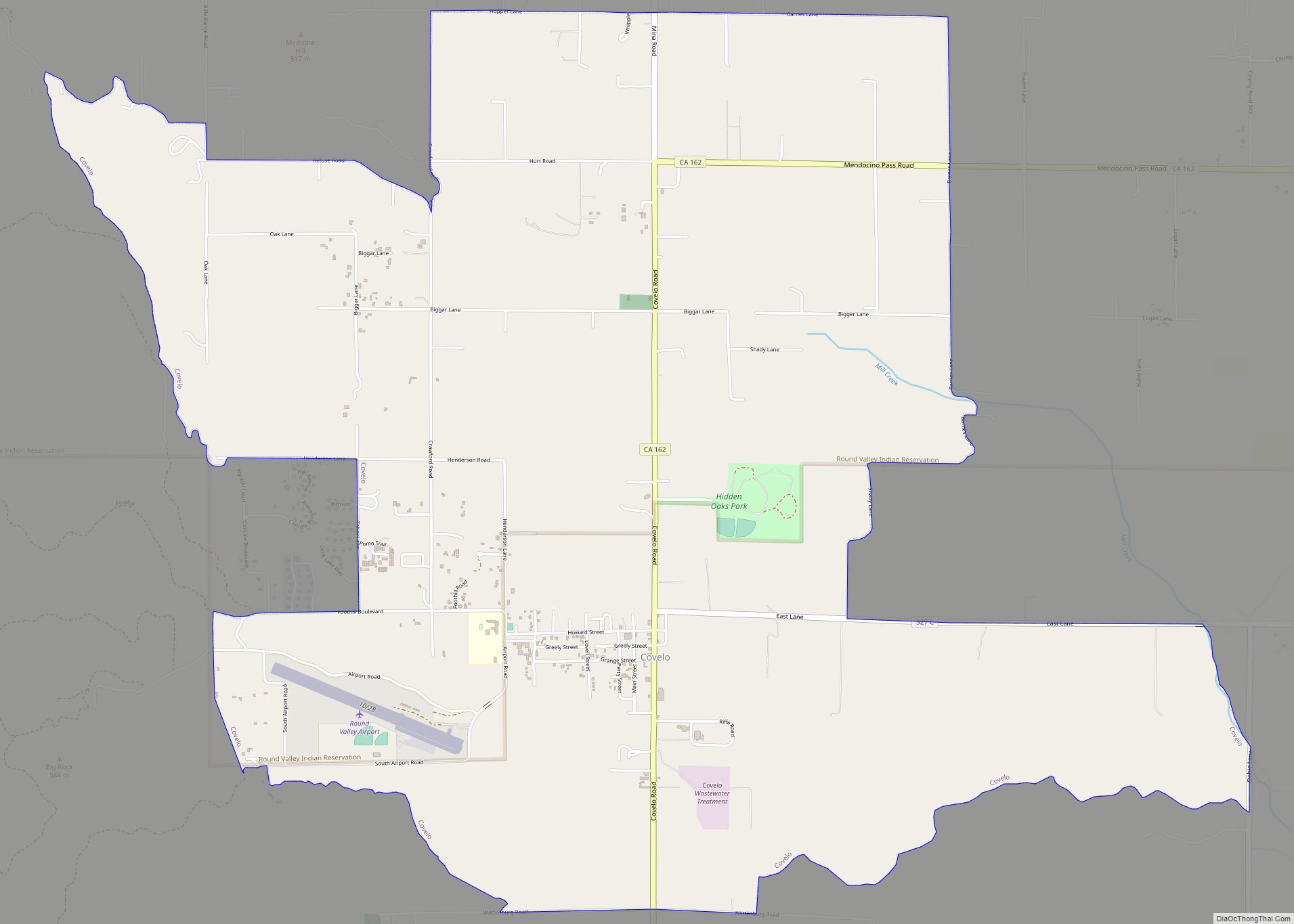
Online Interactive Map
Click on ![]() to view map in "full screen" mode.
to view map in "full screen" mode.
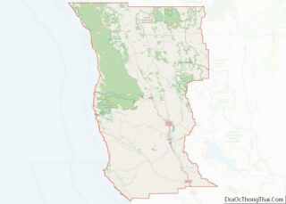
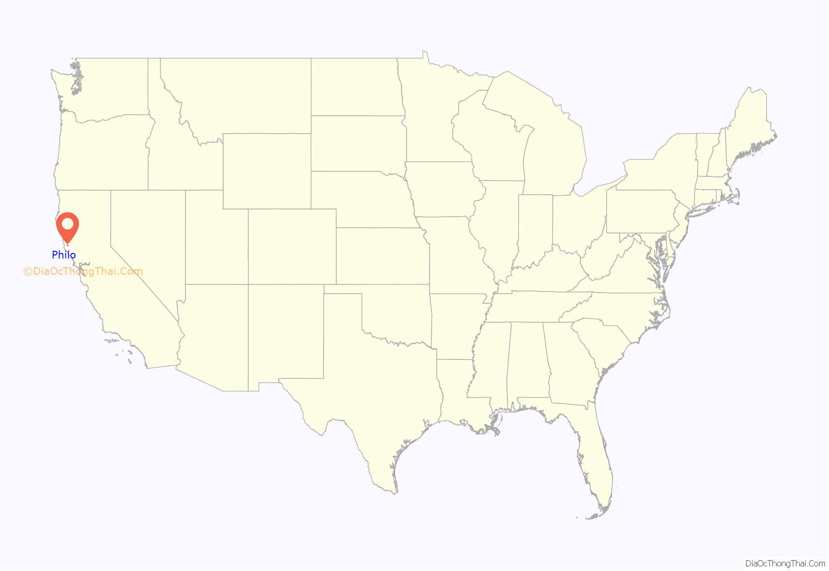
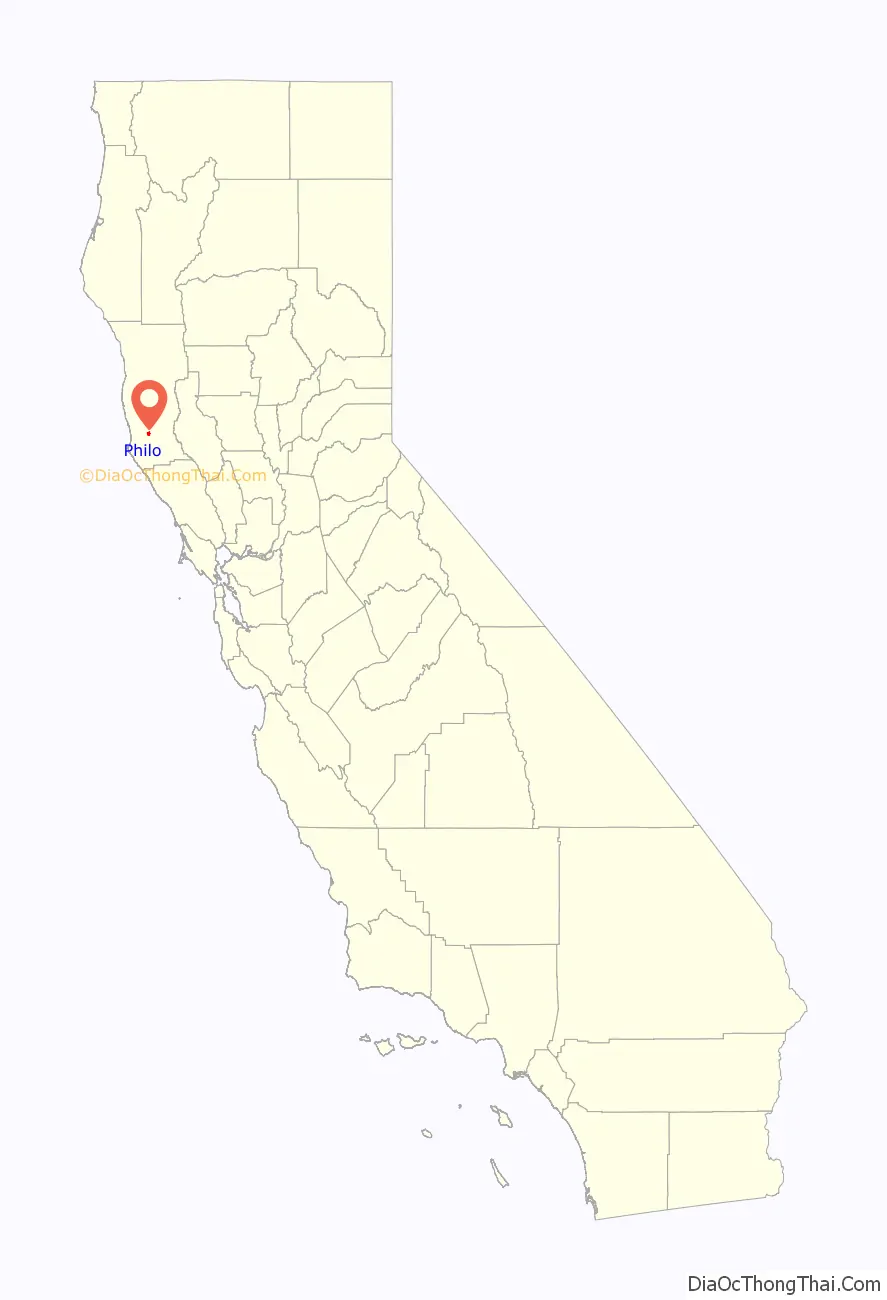
Philo location map. Where is Philo CDP?
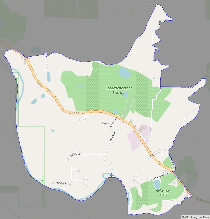
Philo Road Map
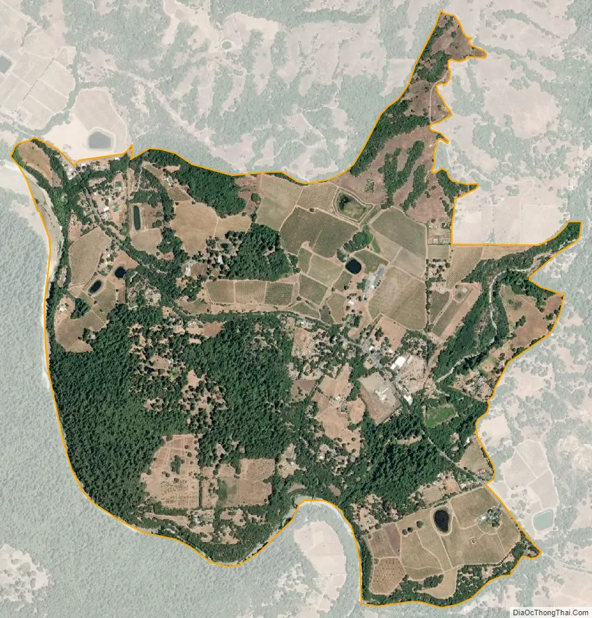
Philo city Satellite Map
Geography
Philo is located at geographical coordinates 39° 3′ 57″ North, 123° 26′ 42″ West. California State Route 128 leads southeast (up the valley) 6 miles (10 km) to Boonville and northwest (downriver) 23 miles (37 km) to State Route 1 near Navarro Beach on the Pacific Ocean.
According to the United States Census Bureau, the CDP covers an area of 2.1 square miles (5.4 km), all of it recorded as land.
See also
Map of California State and its subdivision:- Alameda
- Alpine
- Amador
- Butte
- Calaveras
- Colusa
- Contra Costa
- Del Norte
- El Dorado
- Fresno
- Glenn
- Humboldt
- Imperial
- Inyo
- Kern
- Kings
- Lake
- Lassen
- Los Angeles
- Madera
- Marin
- Mariposa
- Mendocino
- Merced
- Modoc
- Mono
- Monterey
- Napa
- Nevada
- Orange
- Placer
- Plumas
- Riverside
- Sacramento
- San Benito
- San Bernardino
- San Diego
- San Francisco
- San Joaquin
- San Luis Obispo
- San Mateo
- Santa Barbara
- Santa Clara
- Santa Cruz
- Shasta
- Sierra
- Siskiyou
- Solano
- Sonoma
- Stanislaus
- Sutter
- Tehama
- Trinity
- Tulare
- Tuolumne
- Ventura
- Yolo
- Yuba
- Alabama
- Alaska
- Arizona
- Arkansas
- California
- Colorado
- Connecticut
- Delaware
- District of Columbia
- Florida
- Georgia
- Hawaii
- Idaho
- Illinois
- Indiana
- Iowa
- Kansas
- Kentucky
- Louisiana
- Maine
- Maryland
- Massachusetts
- Michigan
- Minnesota
- Mississippi
- Missouri
- Montana
- Nebraska
- Nevada
- New Hampshire
- New Jersey
- New Mexico
- New York
- North Carolina
- North Dakota
- Ohio
- Oklahoma
- Oregon
- Pennsylvania
- Rhode Island
- South Carolina
- South Dakota
- Tennessee
- Texas
- Utah
- Vermont
- Virginia
- Washington
- West Virginia
- Wisconsin
- Wyoming