Pine Valley is a community and census-designated place (CDP) in the Cuyamaca Mountains of the Mountain Empire area, in southeastern San Diego County, California. The population was 1,510 at the 2010 census, up from 1,501 at the 2000 census.
| Name: | Pine Valley CDP |
|---|---|
| LSAD Code: | 57 |
| LSAD Description: | CDP (suffix) |
| State: | California |
| County: | San Diego County |
| Elevation: | 3,736 ft (1,139 m) |
| Total Area: | 7.146 sq mi (18.508 km²) |
| Land Area: | 7.146 sq mi (18.508 km²) |
| Water Area: | 0 sq mi (0 km²) 0% |
| Total Population: | 1,510 |
| Population Density: | 210/sq mi (82/km²) |
| ZIP code: | 91962 |
| Area code: | 619 |
| FIPS code: | 0657260 |
| GNISfeature ID: | 1652774 |
Online Interactive Map
Click on ![]() to view map in "full screen" mode.
to view map in "full screen" mode.
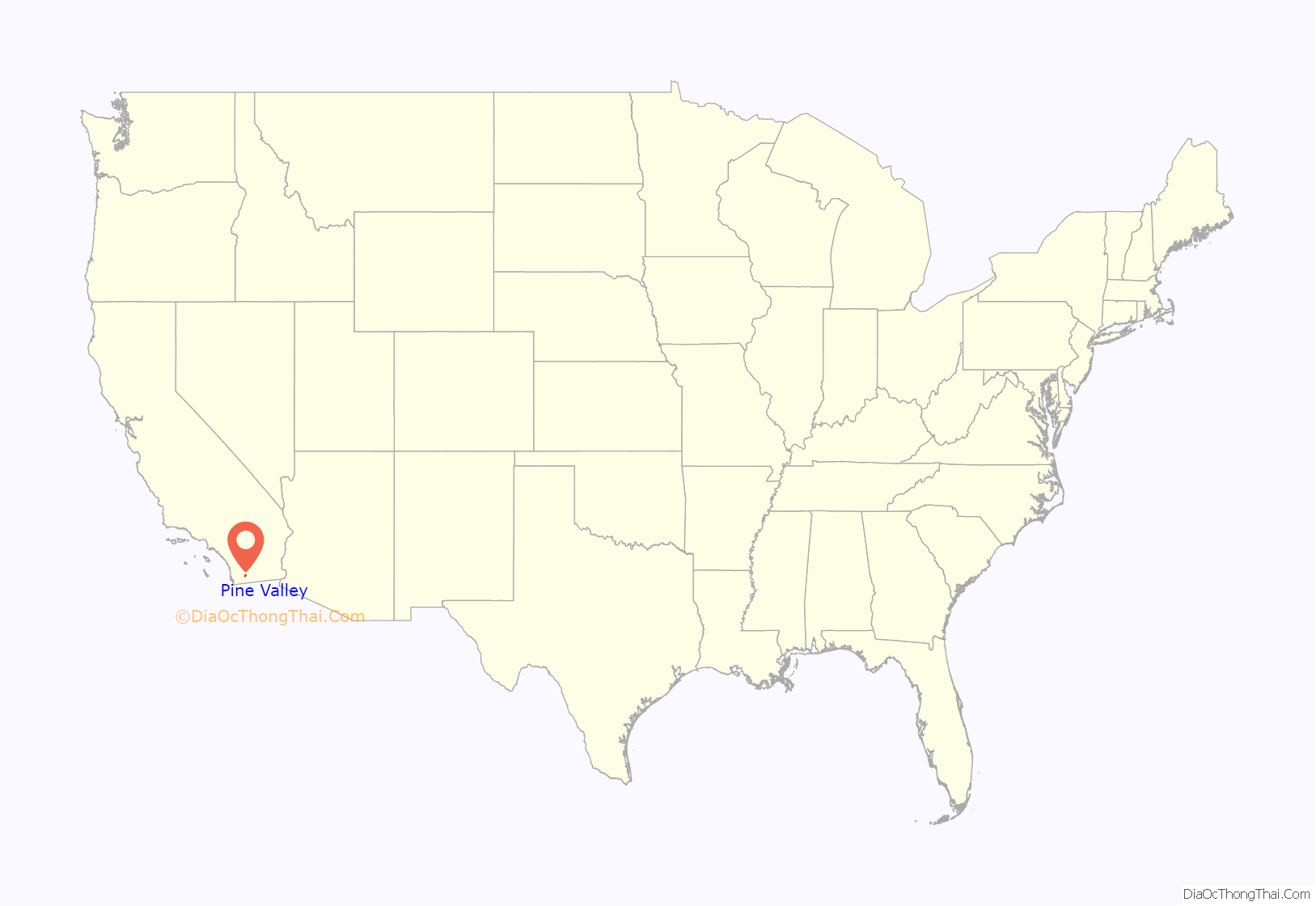
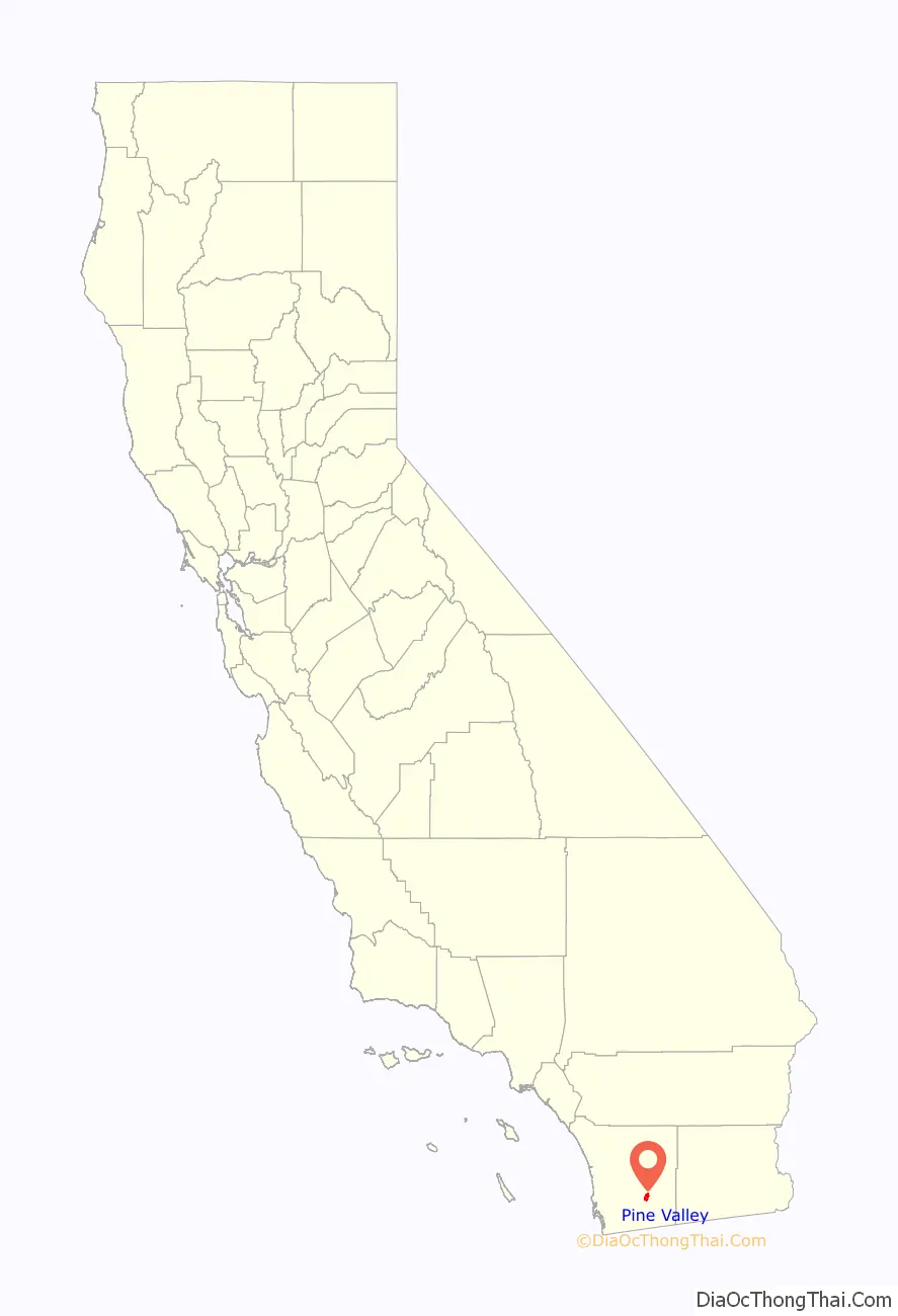
Pine Valley location map. Where is Pine Valley CDP?
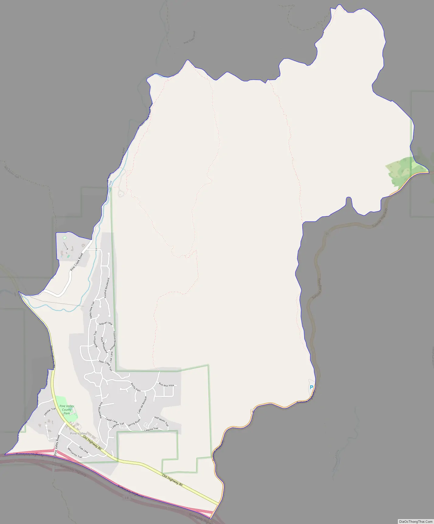
Pine Valley Road Map
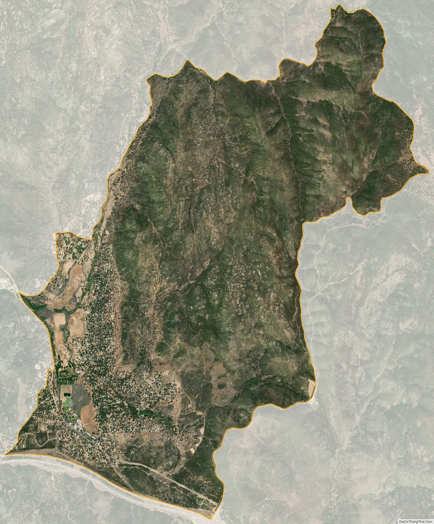
Pine Valley city Satellite Map
Geography
Pine Valley is named for the locally unique strand of Jeffrey pine (Pinus jeffreyi) found along Pine Valley Creek, a seasonal drainage in the foothills of the Laguna Mountains in central San Diego County. According to the United States Geological Survey, Pine Valley is located 3,736 feet (1,139 m) above sea level, at 32°49′17″N 116°31′45″W / 32.82139°N 116.52917°W / 32.82139; -116.52917. Interstate 8 passes east-to-west along the southern border of Pine Valley, and crosses Laguna Summit (altitude 4,055 feet (1,236 m)) just to the east of the town. The Sunrise Highway marks the eastern border of the town.
According to the United States Census Bureau Pine Valley is located at 32°49′41″N 116°31′36″W / 32.82806°N 116.52667°W / 32.82806; -116.52667 (32.828184, -116.526583), which is near the center of the Pine Valley census-designated place (CDP). The Pine Valley CDP has a total area of 7.1 square miles (18 km), all land.
Climate
According to the Köppen Climate Classification system, Pine Valley has a warm-summer Mediterranean climate, abbreviated “Csb” on climate maps. The extreme high temperature is 110F, with the extreme low being −4F. Average annual precipitation is 23.66 inches (60.1 cm), mostly falling between November and March. Snow sometimes falls during winter storms, but usually melts rapidly.
See also
Map of California State and its subdivision:- Alameda
- Alpine
- Amador
- Butte
- Calaveras
- Colusa
- Contra Costa
- Del Norte
- El Dorado
- Fresno
- Glenn
- Humboldt
- Imperial
- Inyo
- Kern
- Kings
- Lake
- Lassen
- Los Angeles
- Madera
- Marin
- Mariposa
- Mendocino
- Merced
- Modoc
- Mono
- Monterey
- Napa
- Nevada
- Orange
- Placer
- Plumas
- Riverside
- Sacramento
- San Benito
- San Bernardino
- San Diego
- San Francisco
- San Joaquin
- San Luis Obispo
- San Mateo
- Santa Barbara
- Santa Clara
- Santa Cruz
- Shasta
- Sierra
- Siskiyou
- Solano
- Sonoma
- Stanislaus
- Sutter
- Tehama
- Trinity
- Tulare
- Tuolumne
- Ventura
- Yolo
- Yuba
- Alabama
- Alaska
- Arizona
- Arkansas
- California
- Colorado
- Connecticut
- Delaware
- District of Columbia
- Florida
- Georgia
- Hawaii
- Idaho
- Illinois
- Indiana
- Iowa
- Kansas
- Kentucky
- Louisiana
- Maine
- Maryland
- Massachusetts
- Michigan
- Minnesota
- Mississippi
- Missouri
- Montana
- Nebraska
- Nevada
- New Hampshire
- New Jersey
- New Mexico
- New York
- North Carolina
- North Dakota
- Ohio
- Oklahoma
- Oregon
- Pennsylvania
- Rhode Island
- South Carolina
- South Dakota
- Tennessee
- Texas
- Utah
- Vermont
- Virginia
- Washington
- West Virginia
- Wisconsin
- Wyoming


