Ripon is a city located in San Joaquin County, California. The population was 14,297 at the 2010 census. Ripon was originally known as Stanislaus City, but was renamed for Ripon, Wisconsin, in 1876.
| Name: | Ripon city |
|---|---|
| LSAD Code: | 25 |
| LSAD Description: | city (suffix) |
| State: | California |
| County: | San Joaquin County |
| Incorporated: | November 27, 1945 |
| Elevation: | 69 ft (21 m) |
| Total Area: | 5.52 sq mi (14.29 km²) |
| Land Area: | 5.33 sq mi (13.79 km²) |
| Water Area: | 0.19 sq mi (0.50 km²) 3.47% |
| Total Population: | 16,013 |
| Population Density: | 3,077.18/sq mi (1,188.20/km²) |
| ZIP code: | 95366 |
| Area code: | 209 |
| FIPS code: | 0661026 |
| GNISfeature ID: | 0277615 |
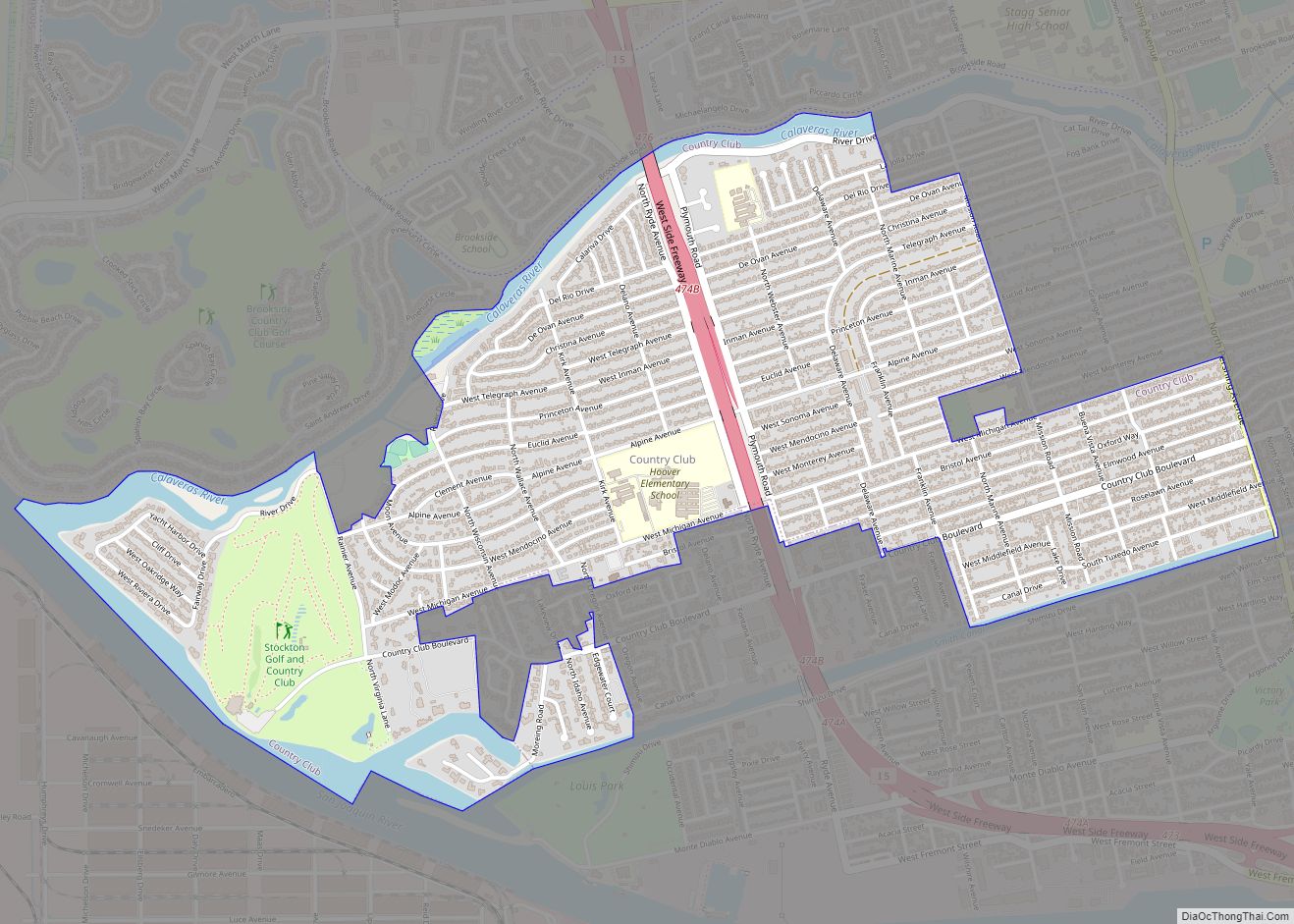
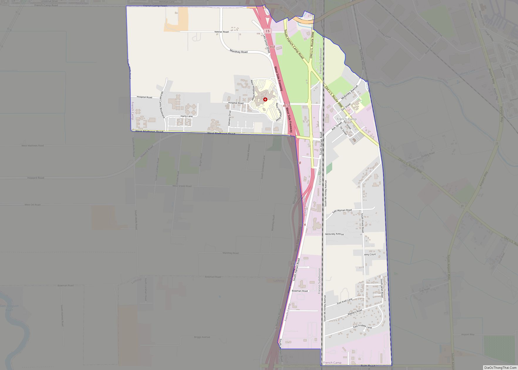
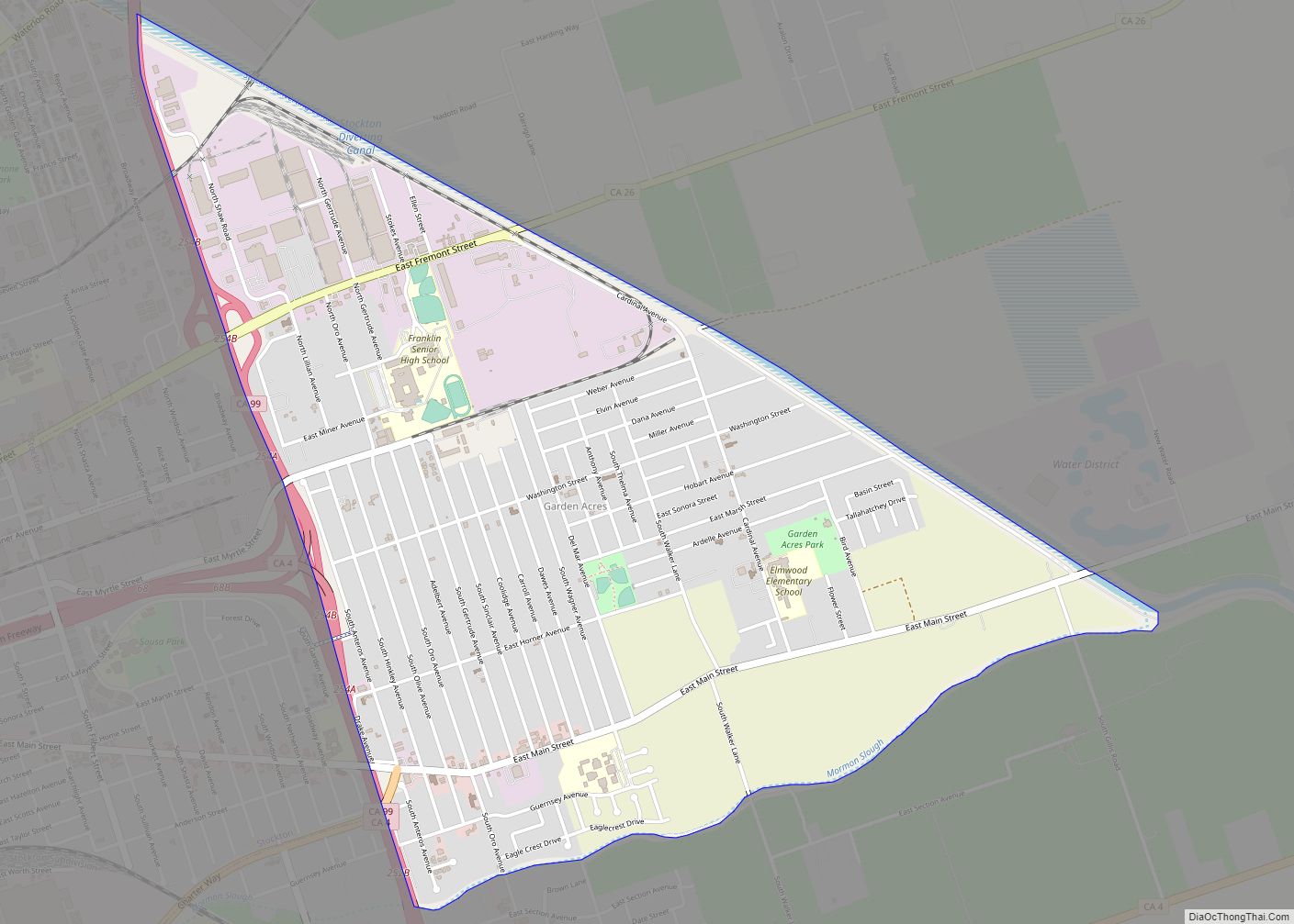
Online Interactive Map
Click on ![]() to view map in "full screen" mode.
to view map in "full screen" mode.
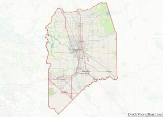
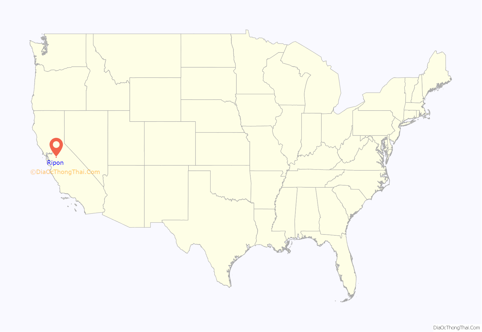
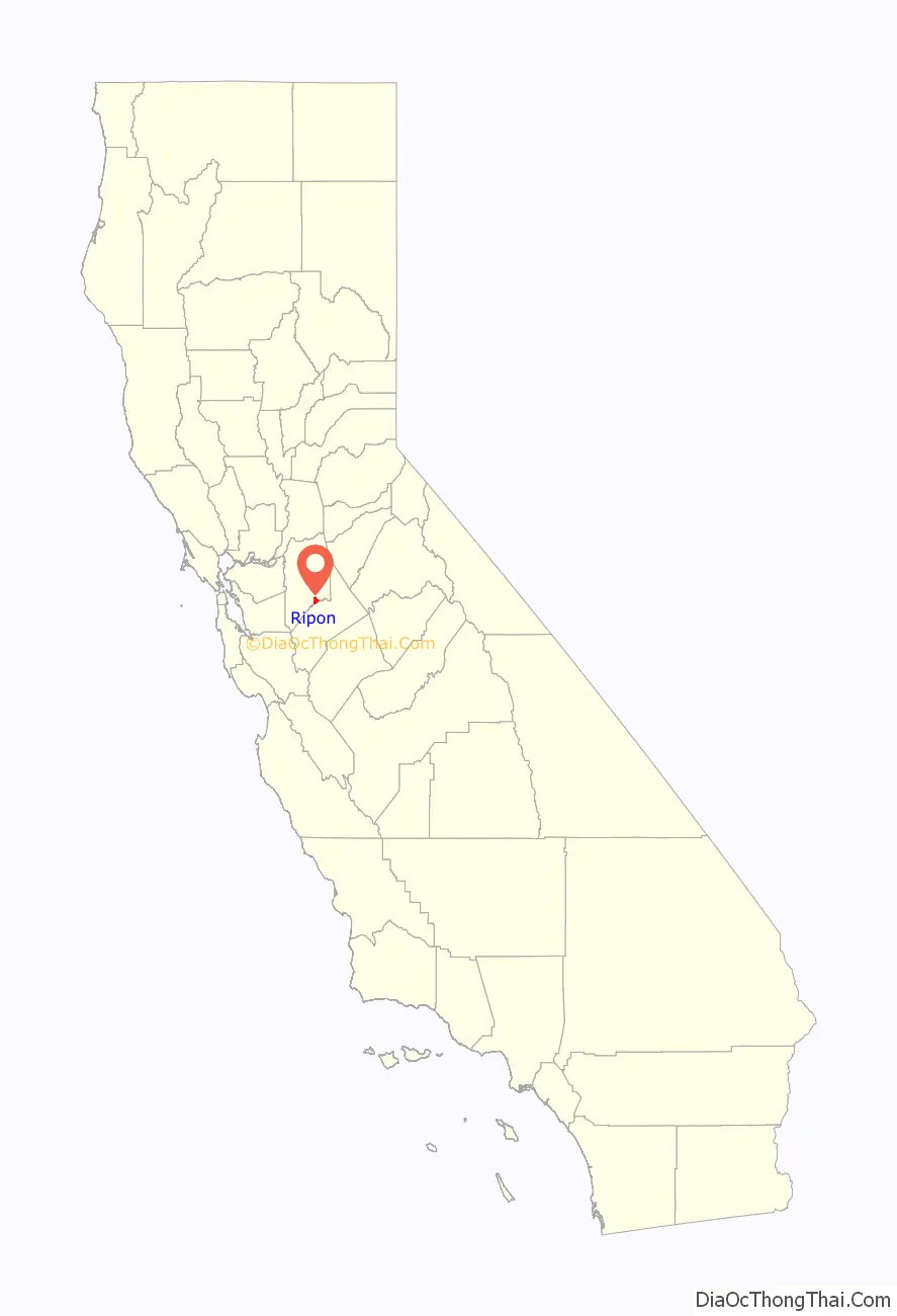
Ripon location map. Where is Ripon city?
History
Ripon, on the site previously known as Murphy’s Ferry, Stanislaus City, and Stanislaus Station, was renamed for Ripon, Wisconsin, which was named for a city in North Yorkshire, England. Ripon’s economy is largely agriculture based, known especially for its high production of almonds. In 1998, great expansion began for the city. Areas north of the Golden State (99) Freeway were slated for housing divisions, and huge swaths of agricultural land were slated for development. In 2003, the Jack Tone Road intersection was rebuilt, thus beginning a gigantic commercial development for two truck stops—Loves and the Flying J—that year. The next couple of years saw the addition of numerous restaurants and a shopping center.
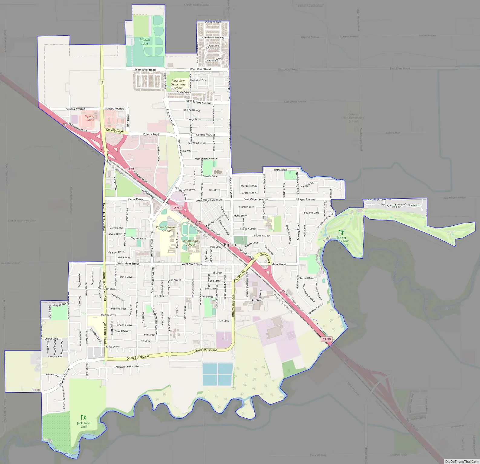
Ripon Road Map
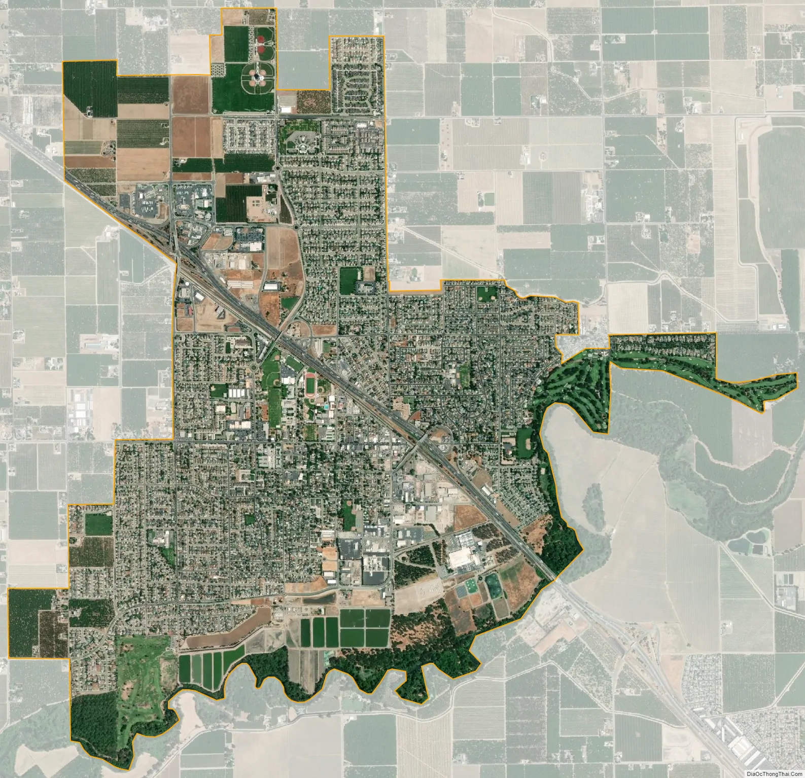
Ripon city Satellite Map
Geography
Ripon is located at 37°44′26″N 121°07′42″W / 37.7405°N 121.1282°W / 37.7405; -121.1282 (37.740478, -121.128224).
According to the United States Census Bureau, the city has a total area of 5.5 square miles (14.2 km), of which 5.3 square miles (13.7 km) is land and 0.2 square miles (0.5 km), comprising 3.47%, is water.
See also
Map of California State and its subdivision:- Alameda
- Alpine
- Amador
- Butte
- Calaveras
- Colusa
- Contra Costa
- Del Norte
- El Dorado
- Fresno
- Glenn
- Humboldt
- Imperial
- Inyo
- Kern
- Kings
- Lake
- Lassen
- Los Angeles
- Madera
- Marin
- Mariposa
- Mendocino
- Merced
- Modoc
- Mono
- Monterey
- Napa
- Nevada
- Orange
- Placer
- Plumas
- Riverside
- Sacramento
- San Benito
- San Bernardino
- San Diego
- San Francisco
- San Joaquin
- San Luis Obispo
- San Mateo
- Santa Barbara
- Santa Clara
- Santa Cruz
- Shasta
- Sierra
- Siskiyou
- Solano
- Sonoma
- Stanislaus
- Sutter
- Tehama
- Trinity
- Tulare
- Tuolumne
- Ventura
- Yolo
- Yuba
- Alabama
- Alaska
- Arizona
- Arkansas
- California
- Colorado
- Connecticut
- Delaware
- District of Columbia
- Florida
- Georgia
- Hawaii
- Idaho
- Illinois
- Indiana
- Iowa
- Kansas
- Kentucky
- Louisiana
- Maine
- Maryland
- Massachusetts
- Michigan
- Minnesota
- Mississippi
- Missouri
- Montana
- Nebraska
- Nevada
- New Hampshire
- New Jersey
- New Mexico
- New York
- North Carolina
- North Dakota
- Ohio
- Oklahoma
- Oregon
- Pennsylvania
- Rhode Island
- South Carolina
- South Dakota
- Tennessee
- Texas
- Utah
- Vermont
- Virginia
- Washington
- West Virginia
- Wisconsin
- Wyoming