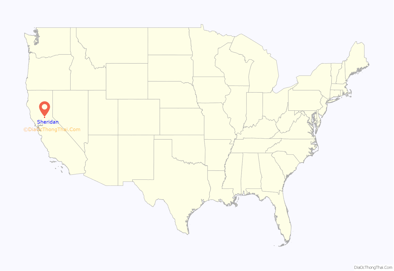
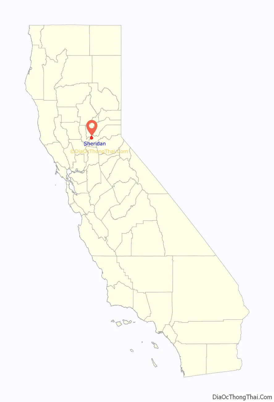
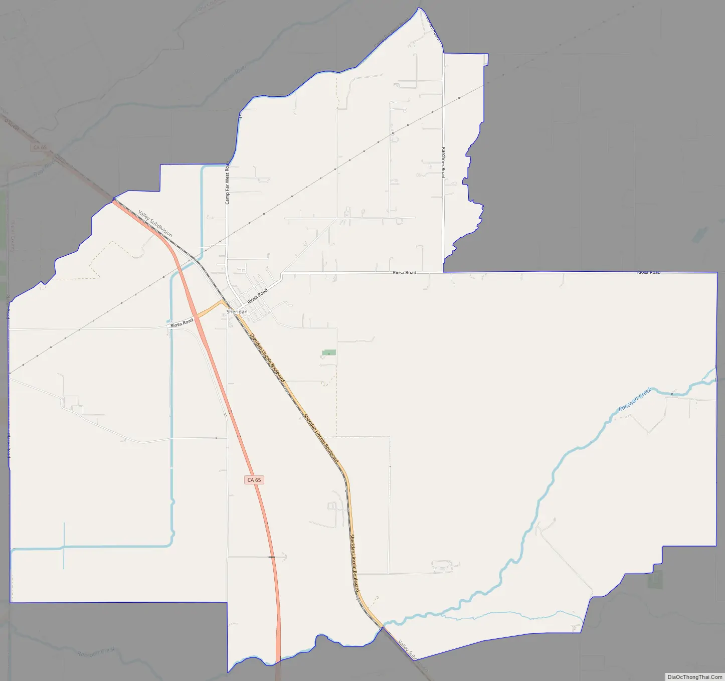
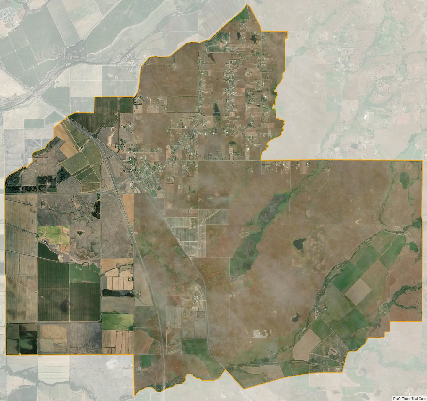
Sheridan is a census-designated place in Placer County, California, United States. It is located at the western edge of the county, along State Route 65. Sheridan is 7.5 miles (12.1 km) northwest of Lincoln. Its ZIP code is 95681 and area code 530. The elevation is 112 feet (34 m). The population was 1,238 at the 2010 census.
| Name: | Sheridan CDP |
|---|---|
| LSAD Code: | 57 |
| LSAD Description: | CDP (suffix) |
| State: | California |
| County: | Placer County |
| Elevation: | 112 ft (34 m) |
| Total Area: | 26.044 sq mi (67.455 km²) |
| Land Area: | 26.038 sq mi (67.439 km²) |
| Water Area: | 0.006 sq mi (0.015 km²) 0.02% |
| Total Population: | 1,238 |
| Population Density: | 48/sq mi (18/km²) |
| ZIP code: | 95681 |
| Area code: | 530 |
| FIPS code: | 0671414 |
Online Interactive Map
Click on ![]() to view map in "full screen" mode.
to view map in "full screen" mode.
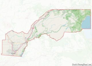
Sheridan location map. Where is Sheridan CDP?
History
Sheridan was originally known by the name Union Shed, before it was renamed for Philip Sheridan around the time of the American Civil War. The Sheridan post office opened in 1868, closed for a time in 1870, and re-opened.
Sheridan Road Map
Sheridan city Satellite Map
Geography
According to the United States Census Bureau, the CDP covers an area of 26.0 square miles (67.5 km), 99.98% of it land, and 0.02% of it water.
See also
Map of California State and its subdivision:- Alameda
- Alpine
- Amador
- Butte
- Calaveras
- Colusa
- Contra Costa
- Del Norte
- El Dorado
- Fresno
- Glenn
- Humboldt
- Imperial
- Inyo
- Kern
- Kings
- Lake
- Lassen
- Los Angeles
- Madera
- Marin
- Mariposa
- Mendocino
- Merced
- Modoc
- Mono
- Monterey
- Napa
- Nevada
- Orange
- Placer
- Plumas
- Riverside
- Sacramento
- San Benito
- San Bernardino
- San Diego
- San Francisco
- San Joaquin
- San Luis Obispo
- San Mateo
- Santa Barbara
- Santa Clara
- Santa Cruz
- Shasta
- Sierra
- Siskiyou
- Solano
- Sonoma
- Stanislaus
- Sutter
- Tehama
- Trinity
- Tulare
- Tuolumne
- Ventura
- Yolo
- Yuba
- Alabama
- Alaska
- Arizona
- Arkansas
- California
- Colorado
- Connecticut
- Delaware
- District of Columbia
- Florida
- Georgia
- Hawaii
- Idaho
- Illinois
- Indiana
- Iowa
- Kansas
- Kentucky
- Louisiana
- Maine
- Maryland
- Massachusetts
- Michigan
- Minnesota
- Mississippi
- Missouri
- Montana
- Nebraska
- Nevada
- New Hampshire
- New Jersey
- New Mexico
- New York
- North Carolina
- North Dakota
- Ohio
- Oklahoma
- Oregon
- Pennsylvania
- Rhode Island
- South Carolina
- South Dakota
- Tennessee
- Texas
- Utah
- Vermont
- Virginia
- Washington
- West Virginia
- Wisconsin
- Wyoming