Spring Valley is a census-designated place (CDP) in the East County region of San Diego County, California. The population was 28,205 at the 2010 census.
From 1970 through 1990, Spring Valley included what is now the La Presa CDP to the south; La Presa is still popularly considered to be a part of Spring Valley. Extended definitions of Spring Valley may also include the Casa de Oro neighborhood to the north, which belongs to the Casa de Oro-Mount Helix CDP. Locations in both La Presa and Casa de Oro use Spring Valley addresses.
Spring Valley is served by the 91977 and 91978 ZIP codes.
| Name: | Spring Valley CDP |
|---|---|
| LSAD Code: | 57 |
| LSAD Description: | CDP (suffix) |
| State: | California |
| County: | San Diego County |
| Elevation: | 390 ft (119 m) |
| Total Area: | 7.374 sq mi (19.099 km²) |
| Land Area: | 7.165 sq mi (18.558 km²) |
| Water Area: | 0.209 sq mi (0.541 km²) 2.83% |
| Total Population: | 28,205 |
| Population Density: | 3,800/sq mi (1,500/km²) |
| ZIP code: | 91976-91979 |
| Area code: | 619 |
| FIPS code: | 0673696 |
| GNISfeature ID: | 1661495 |
Online Interactive Map
Click on ![]() to view map in "full screen" mode.
to view map in "full screen" mode.
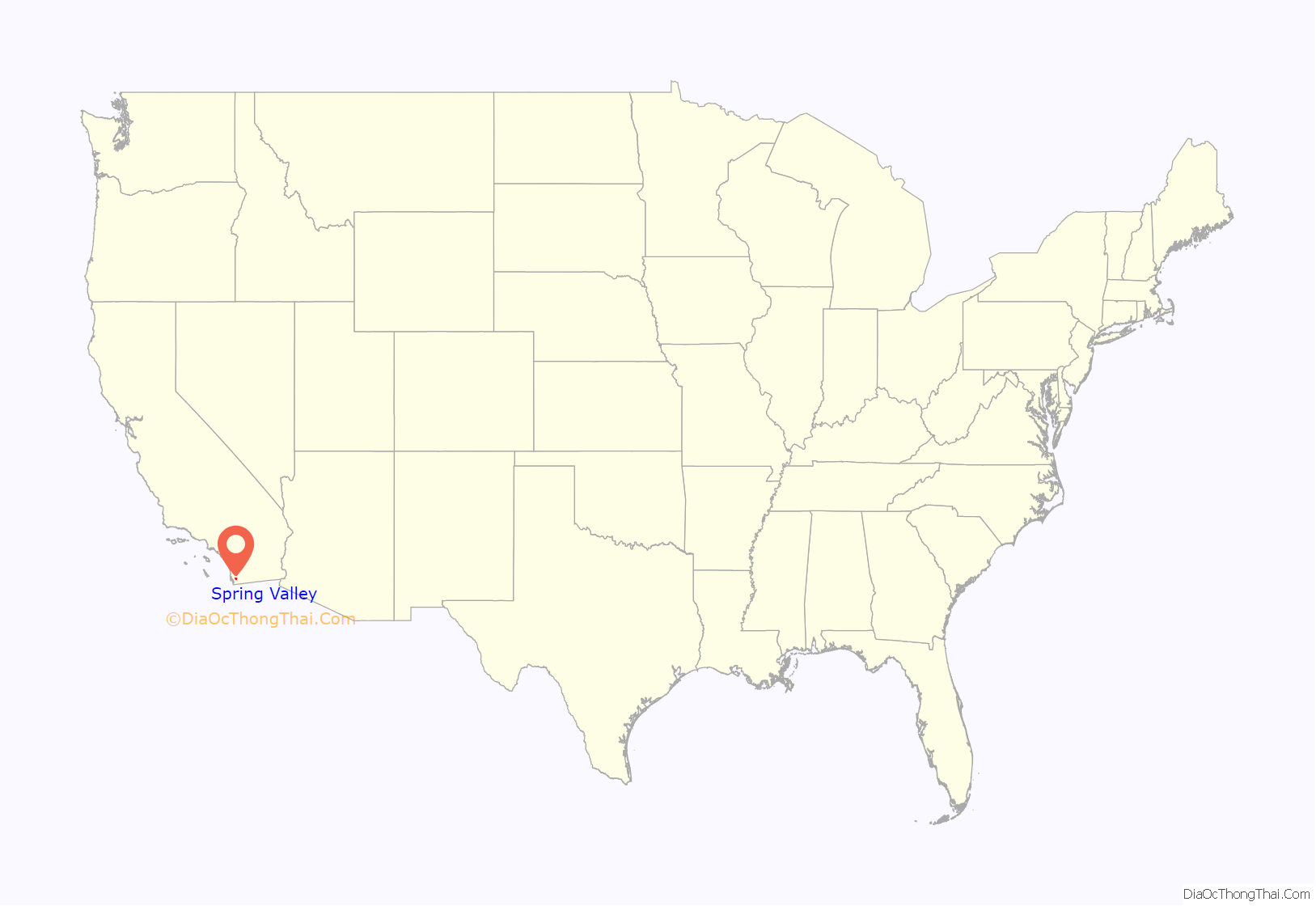
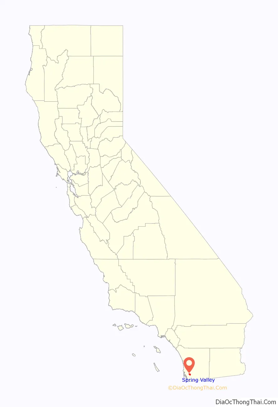
Spring Valley location map. Where is Spring Valley CDP?
History
Spring Valley is named for the natural spring located there. It was long the home of the Kumeyaay people, who called it Neti or Meti. Spanish conquerors drove off the natives and used the area for cattle, calling it El aguaje de San Jorge (St. George’s Spring).
In 1863, Judge Augustus S. Ensworth of San Diego filed a claim for a 160-acre (65 ha) ranch that included the spring. The ranch, and the small adobe house he built there, were sold to Rufus King Porter and later to historian Hubert Howe Bancroft. The adobe is now a National Historic Landmark.
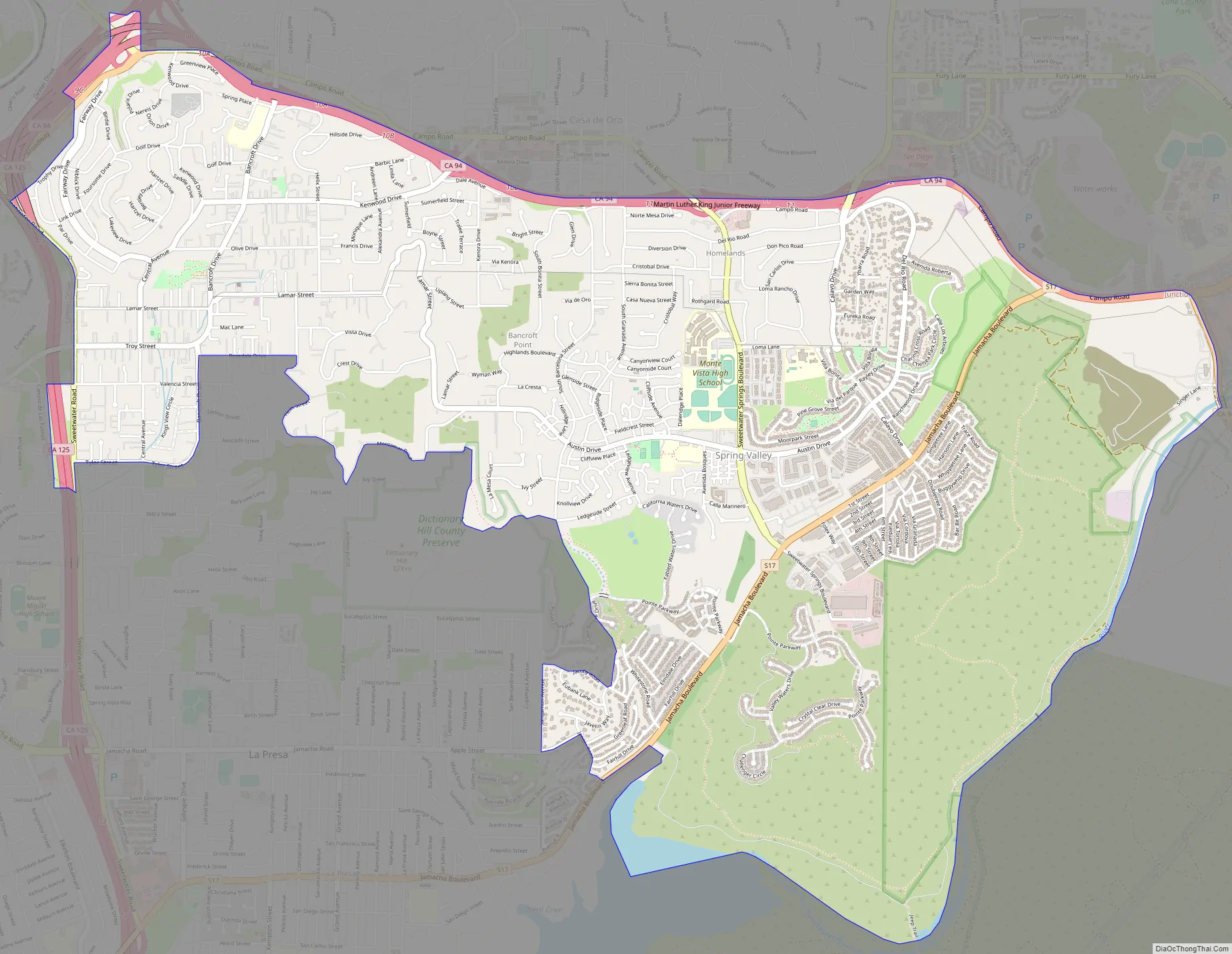
Spring Valley Road Map
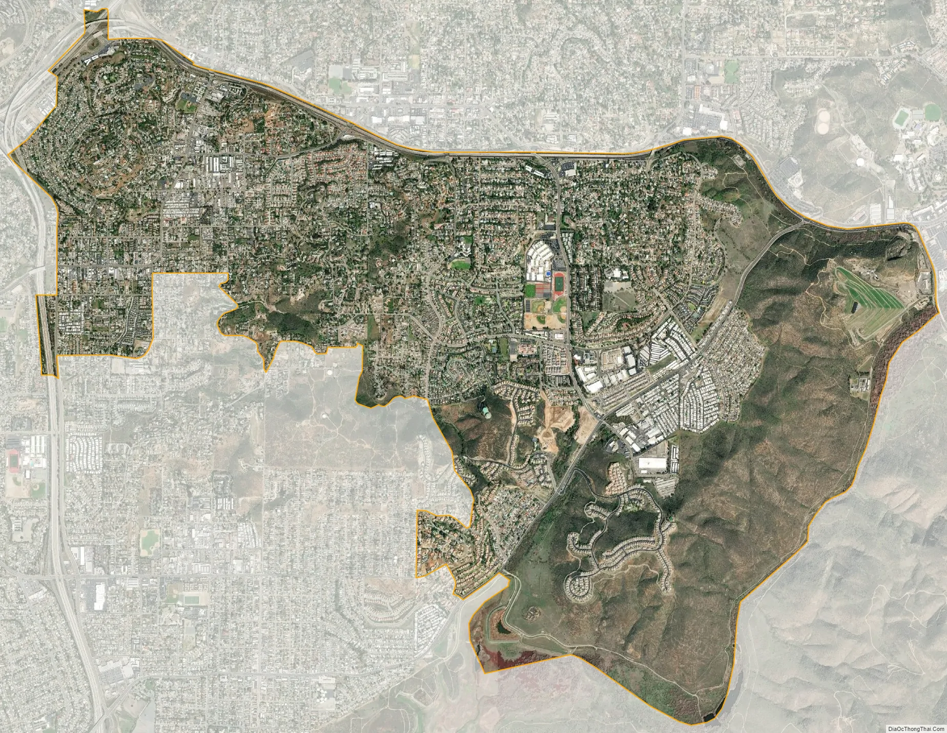
Spring Valley city Satellite Map
Geography
The United States Geological Survey (USGS) places Spring Valley at 32°44′41″N 116°59′56″W / 32.74472°N 116.99889°W / 32.74472; -116.99889 (32.7447740, -116.9989160). This is near the intersection of Kenwood Drive and Helix Street. Most maps place Spring Valley at this location.
The United States Census Bureau places Spring Valley at 32°44′4″N 116°58′53″W / 32.73444°N 116.98139°W / 32.73444; -116.98139 (32.734318, -116.981372), which is approximately two miles southeast of where the USGS places it. According to the United States Census Bureau, the CDP has a total area of 7.4 square miles (19 km). 7.2 square miles (19 km) of it is land and 0.2 square miles (0.52 km) of it (2.83%) is water.
See also
Map of California State and its subdivision:- Alameda
- Alpine
- Amador
- Butte
- Calaveras
- Colusa
- Contra Costa
- Del Norte
- El Dorado
- Fresno
- Glenn
- Humboldt
- Imperial
- Inyo
- Kern
- Kings
- Lake
- Lassen
- Los Angeles
- Madera
- Marin
- Mariposa
- Mendocino
- Merced
- Modoc
- Mono
- Monterey
- Napa
- Nevada
- Orange
- Placer
- Plumas
- Riverside
- Sacramento
- San Benito
- San Bernardino
- San Diego
- San Francisco
- San Joaquin
- San Luis Obispo
- San Mateo
- Santa Barbara
- Santa Clara
- Santa Cruz
- Shasta
- Sierra
- Siskiyou
- Solano
- Sonoma
- Stanislaus
- Sutter
- Tehama
- Trinity
- Tulare
- Tuolumne
- Ventura
- Yolo
- Yuba
- Alabama
- Alaska
- Arizona
- Arkansas
- California
- Colorado
- Connecticut
- Delaware
- District of Columbia
- Florida
- Georgia
- Hawaii
- Idaho
- Illinois
- Indiana
- Iowa
- Kansas
- Kentucky
- Louisiana
- Maine
- Maryland
- Massachusetts
- Michigan
- Minnesota
- Mississippi
- Missouri
- Montana
- Nebraska
- Nevada
- New Hampshire
- New Jersey
- New Mexico
- New York
- North Carolina
- North Dakota
- Ohio
- Oklahoma
- Oregon
- Pennsylvania
- Rhode Island
- South Carolina
- South Dakota
- Tennessee
- Texas
- Utah
- Vermont
- Virginia
- Washington
- West Virginia
- Wisconsin
- Wyoming


