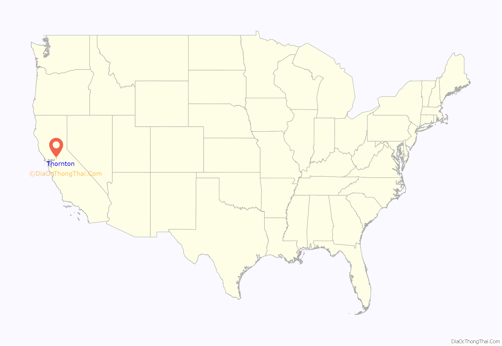
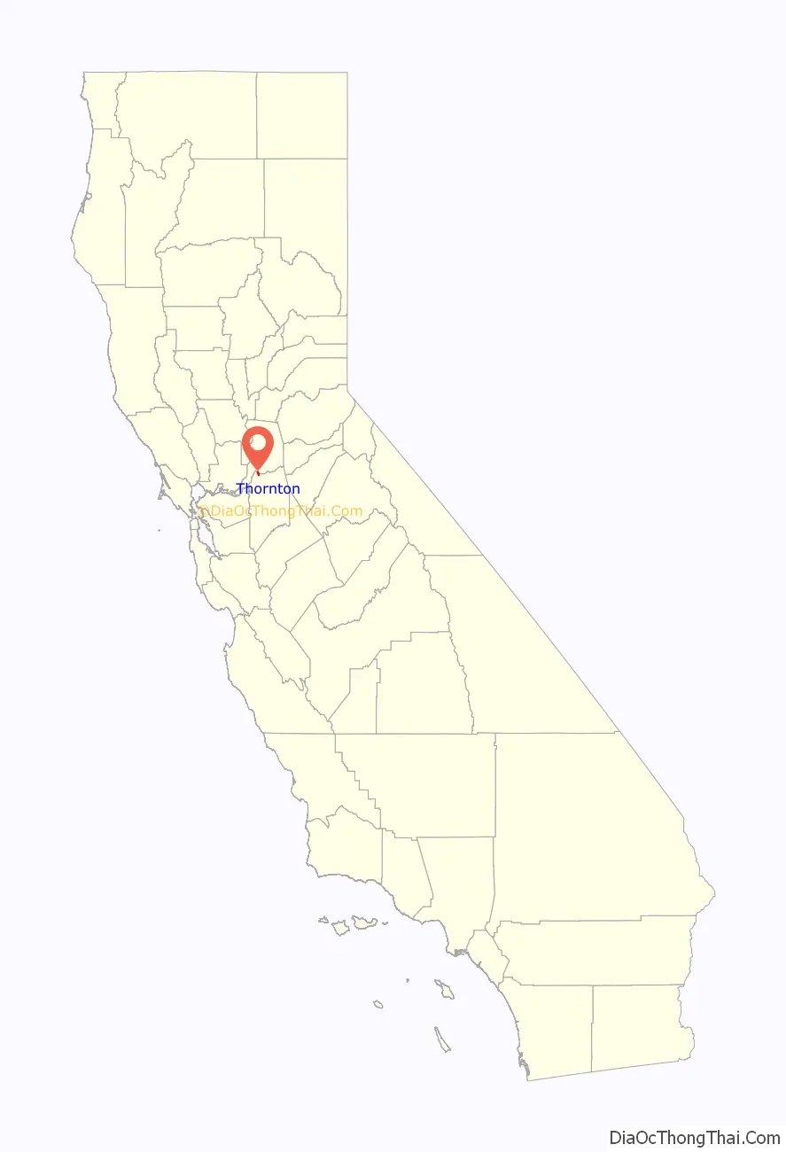
Thornton is a census-designated place (CDP) in San Joaquin County, California, United States. Thornton is located along Interstate 5 7 miles (11 km) west-southwest of Galt. Thornton has a post office with ZIP code 95686.
| Name: | Thornton CDP |
|---|---|
| LSAD Code: | 57 |
| LSAD Description: | CDP (suffix) |
| State: | California |
| County: | San Joaquin County |
| Elevation: | 13 ft (4 m) |
| Total Area: | 2.155 sq mi (5.580 km²) |
| Land Area: | 2.127 sq mi (5.508 km²) |
| Water Area: | 0.028 sq mi (0.072 km²) 1.30% |
| Total Population: | 1,004 |
| Population Density: | 470/sq mi (180/km²) |
| ZIP code: | 95686 |
| Area code: | 209 |
| FIPS code: | 0678568 |
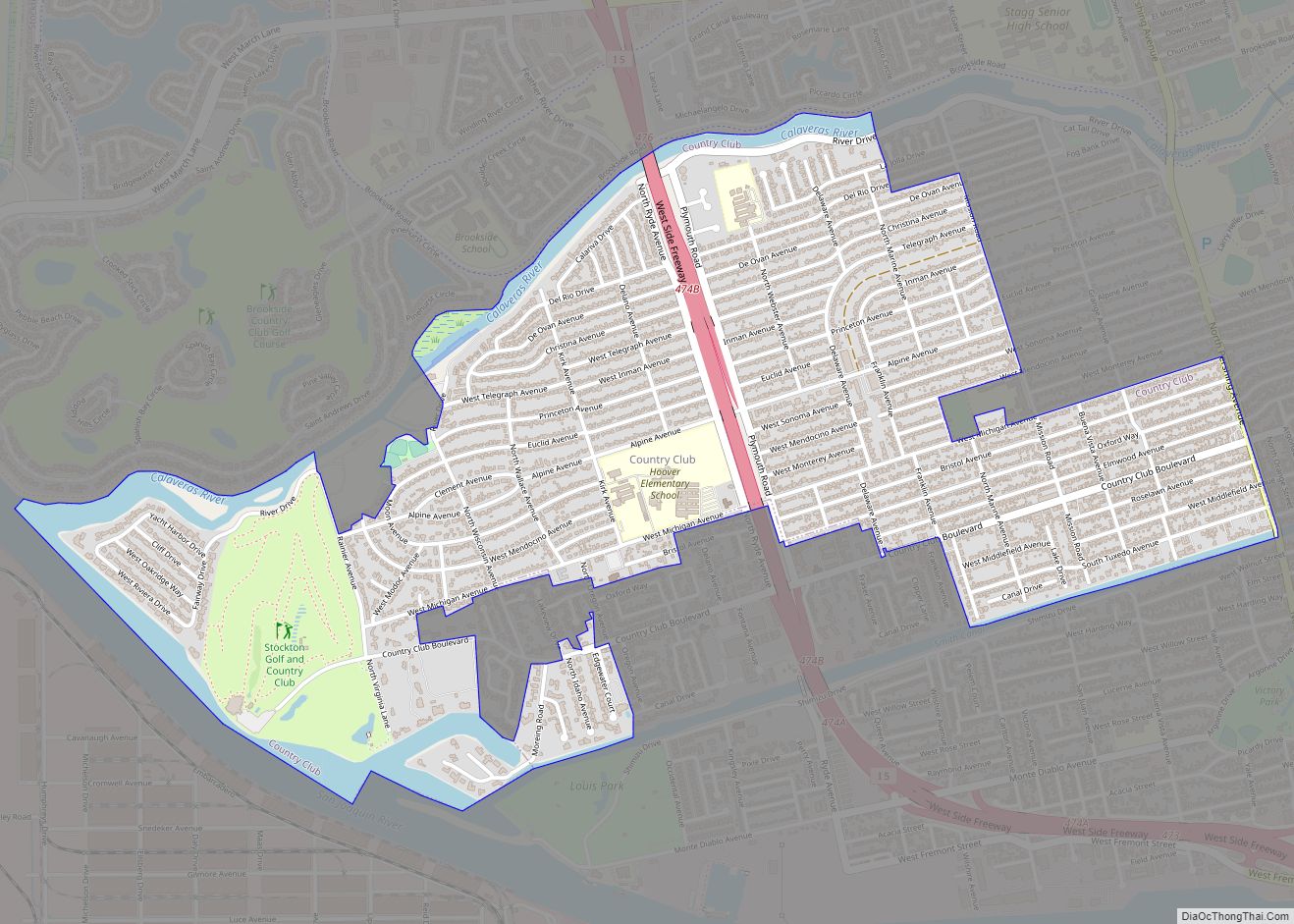
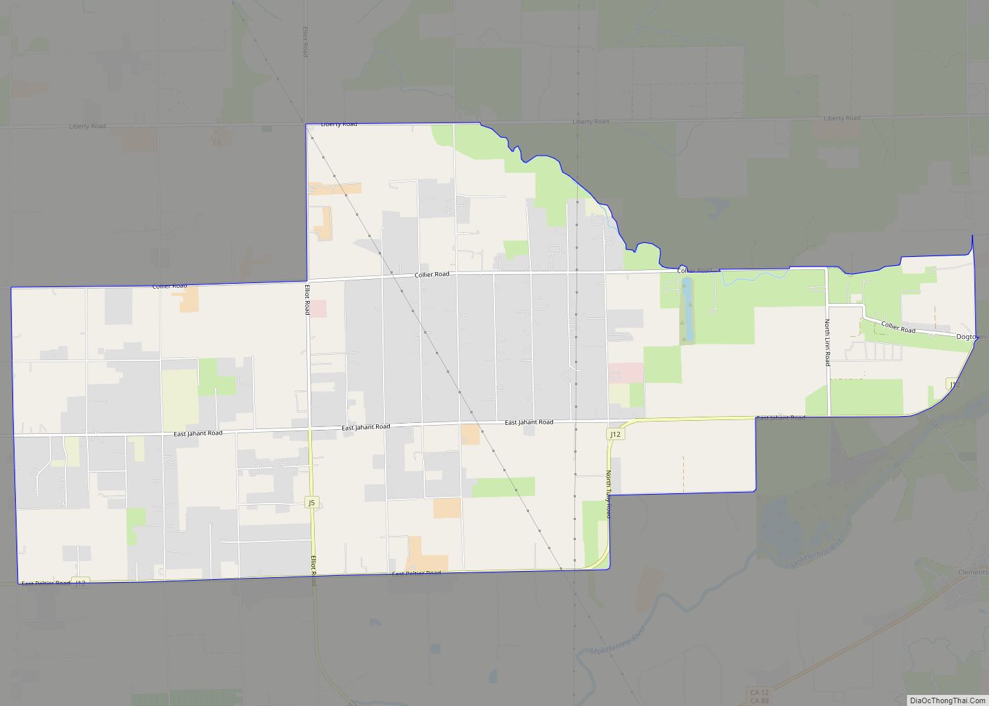
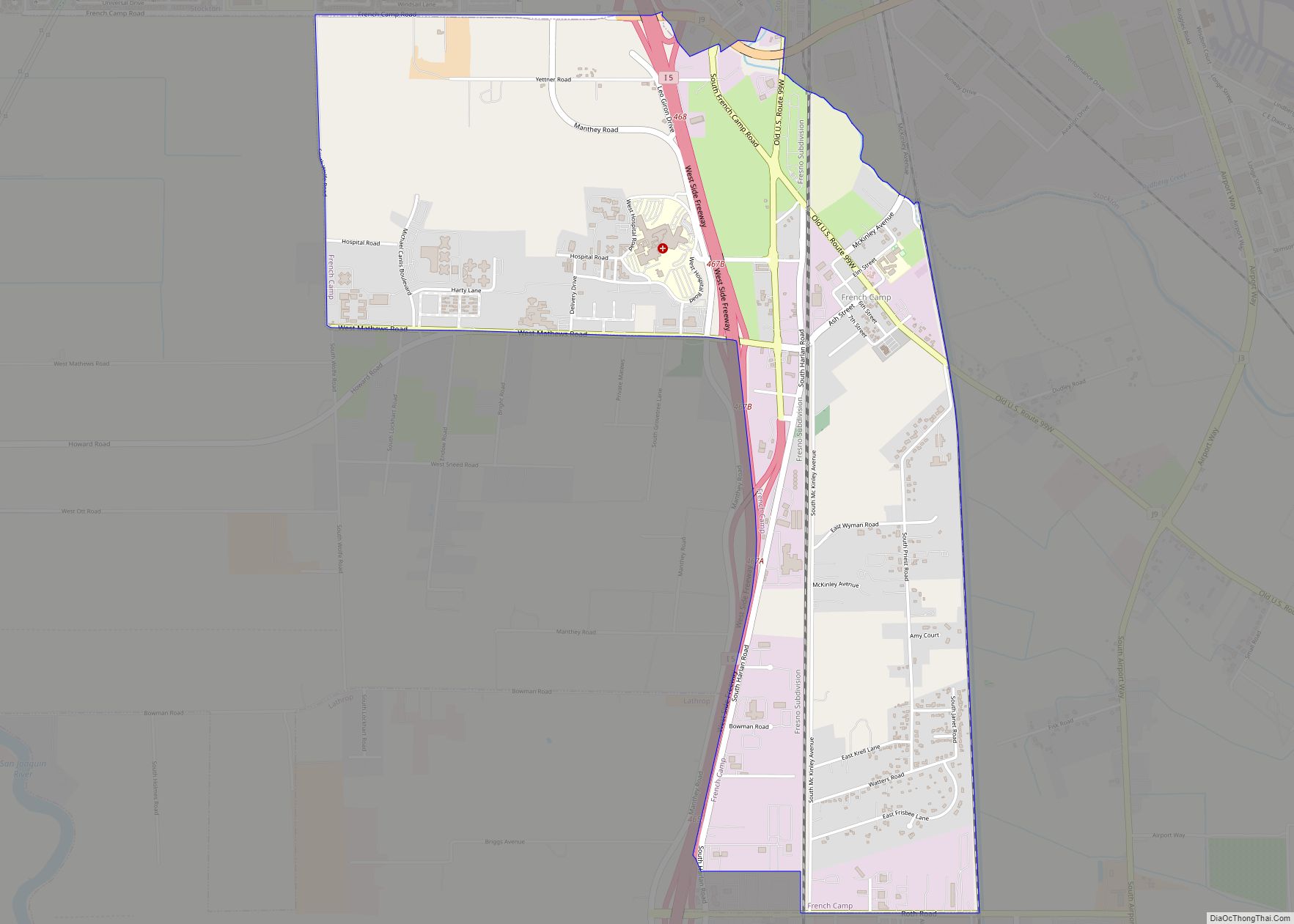
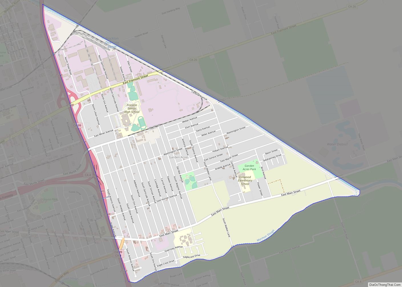
Online Interactive Map
Click on ![]() to view map in "full screen" mode.
to view map in "full screen" mode.
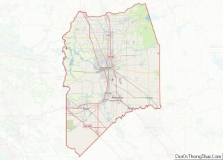
Thornton location map. Where is Thornton CDP?
History
The railroad was extended to Thornton in 1907. A post office called Thornton has been in operation since 1910. The community was named for Arthur Thornton, the original owner of the town site.
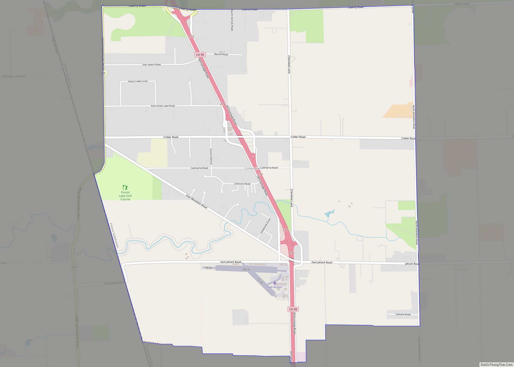
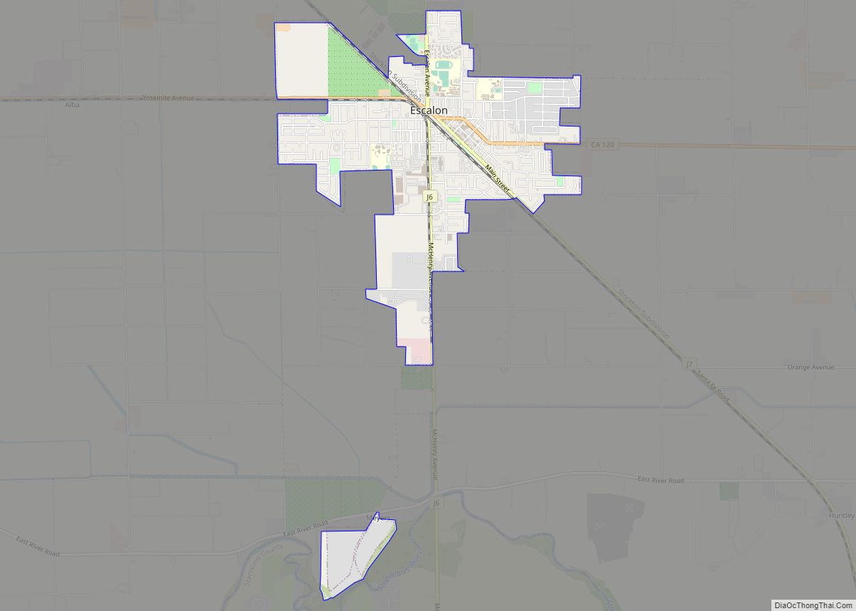
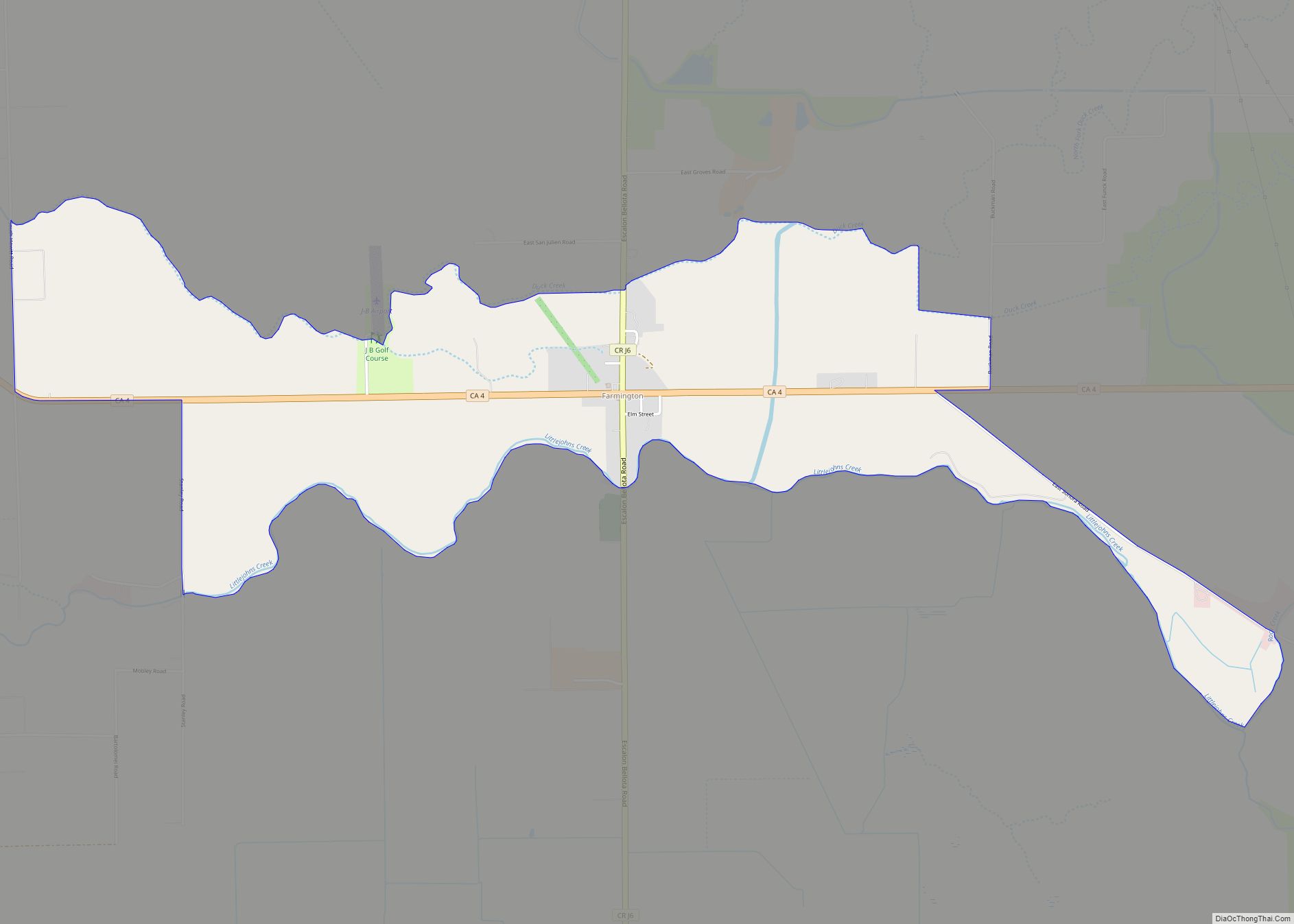
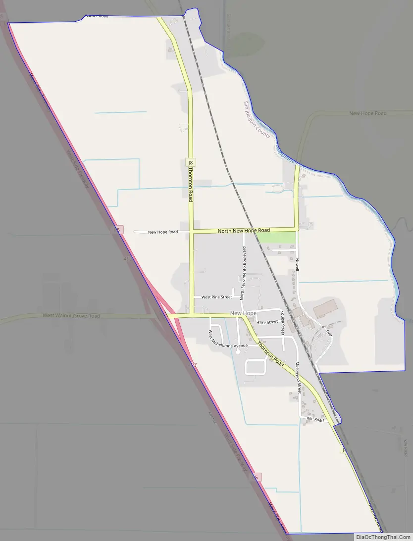
Thornton Road Map
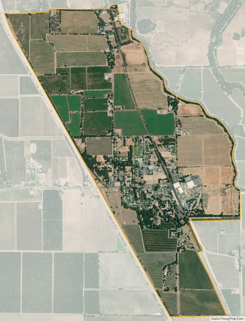
Thornton city Satellite Map
Geography
According to the United States Census Bureau, the CDP covers an area of 2.2 square miles (5.6 km), 98.70% of it land, and 1.30% of it water.
See also
Map of California State and its subdivision:- Alameda
- Alpine
- Amador
- Butte
- Calaveras
- Colusa
- Contra Costa
- Del Norte
- El Dorado
- Fresno
- Glenn
- Humboldt
- Imperial
- Inyo
- Kern
- Kings
- Lake
- Lassen
- Los Angeles
- Madera
- Marin
- Mariposa
- Mendocino
- Merced
- Modoc
- Mono
- Monterey
- Napa
- Nevada
- Orange
- Placer
- Plumas
- Riverside
- Sacramento
- San Benito
- San Bernardino
- San Diego
- San Francisco
- San Joaquin
- San Luis Obispo
- San Mateo
- Santa Barbara
- Santa Clara
- Santa Cruz
- Shasta
- Sierra
- Siskiyou
- Solano
- Sonoma
- Stanislaus
- Sutter
- Tehama
- Trinity
- Tulare
- Tuolumne
- Ventura
- Yolo
- Yuba
- Alabama
- Alaska
- Arizona
- Arkansas
- California
- Colorado
- Connecticut
- Delaware
- District of Columbia
- Florida
- Georgia
- Hawaii
- Idaho
- Illinois
- Indiana
- Iowa
- Kansas
- Kentucky
- Louisiana
- Maine
- Maryland
- Massachusetts
- Michigan
- Minnesota
- Mississippi
- Missouri
- Montana
- Nebraska
- Nevada
- New Hampshire
- New Jersey
- New Mexico
- New York
- North Carolina
- North Dakota
- Ohio
- Oklahoma
- Oregon
- Pennsylvania
- Rhode Island
- South Carolina
- South Dakota
- Tennessee
- Texas
- Utah
- Vermont
- Virginia
- Washington
- West Virginia
- Wisconsin
- Wyoming