Valley Center is a census-designated place (CDP) in northern San Diego County, California. The population was 9,277 at the 2010 census.
| Name: | Valley Center CDP |
|---|---|
| LSAD Code: | 57 |
| LSAD Description: | CDP (suffix) |
| State: | California |
| County: | San Diego County |
| Elevation: | 1,312 ft (400 m) |
| Total Area: | 27.426 sq mi (71.033 km²) |
| Land Area: | 27.426 sq mi (71.033 km²) |
| Water Area: | 0 sq mi (0 km²) 0% |
| Total Population: | 9,277 |
| Population Density: | 340/sq mi (130/km²) |
| ZIP code: | 92082 |
| Area code: | 442/760 |
| FIPS code: | 0681736 |
Online Interactive Map
Click on ![]() to view map in "full screen" mode.
to view map in "full screen" mode.
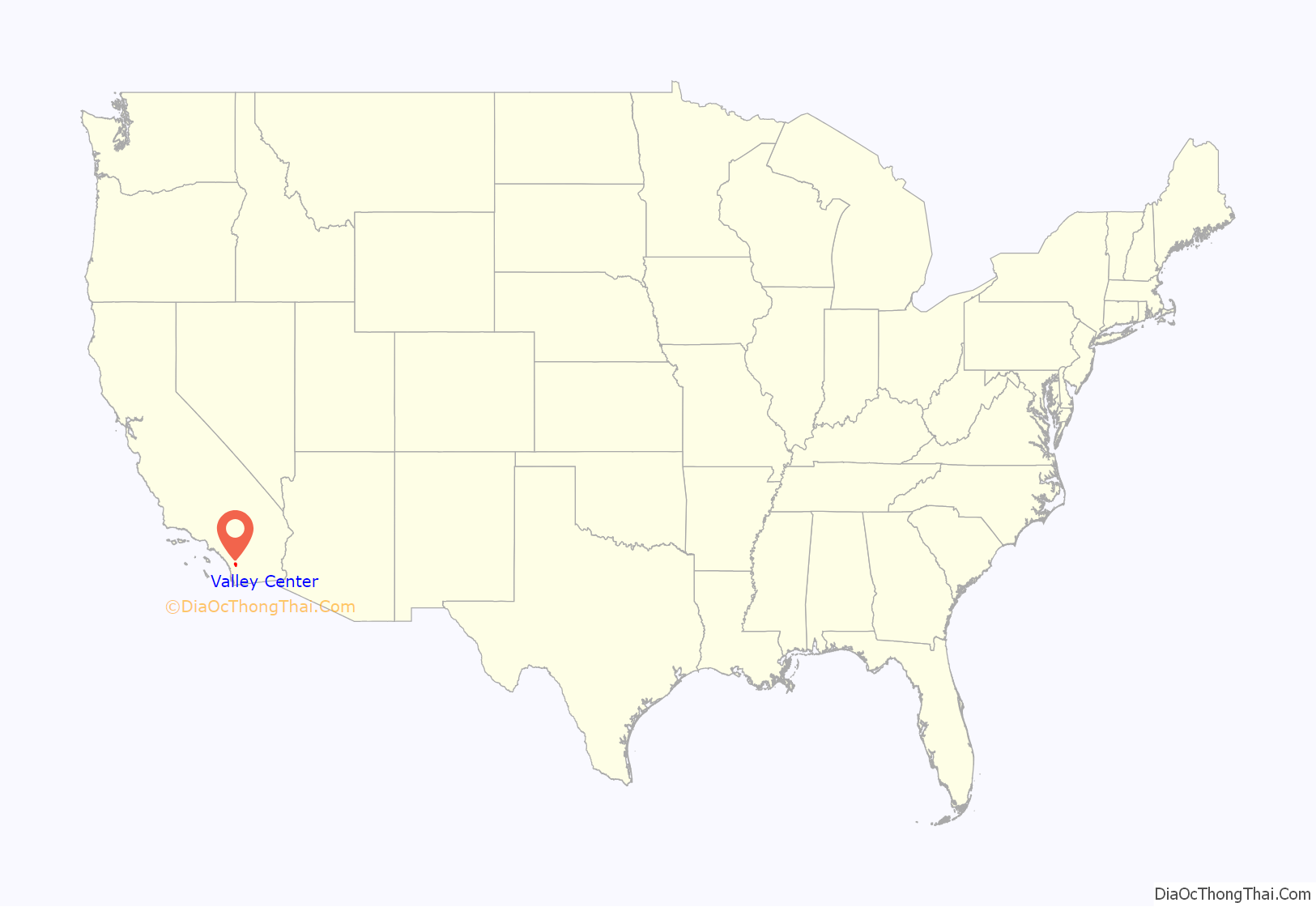
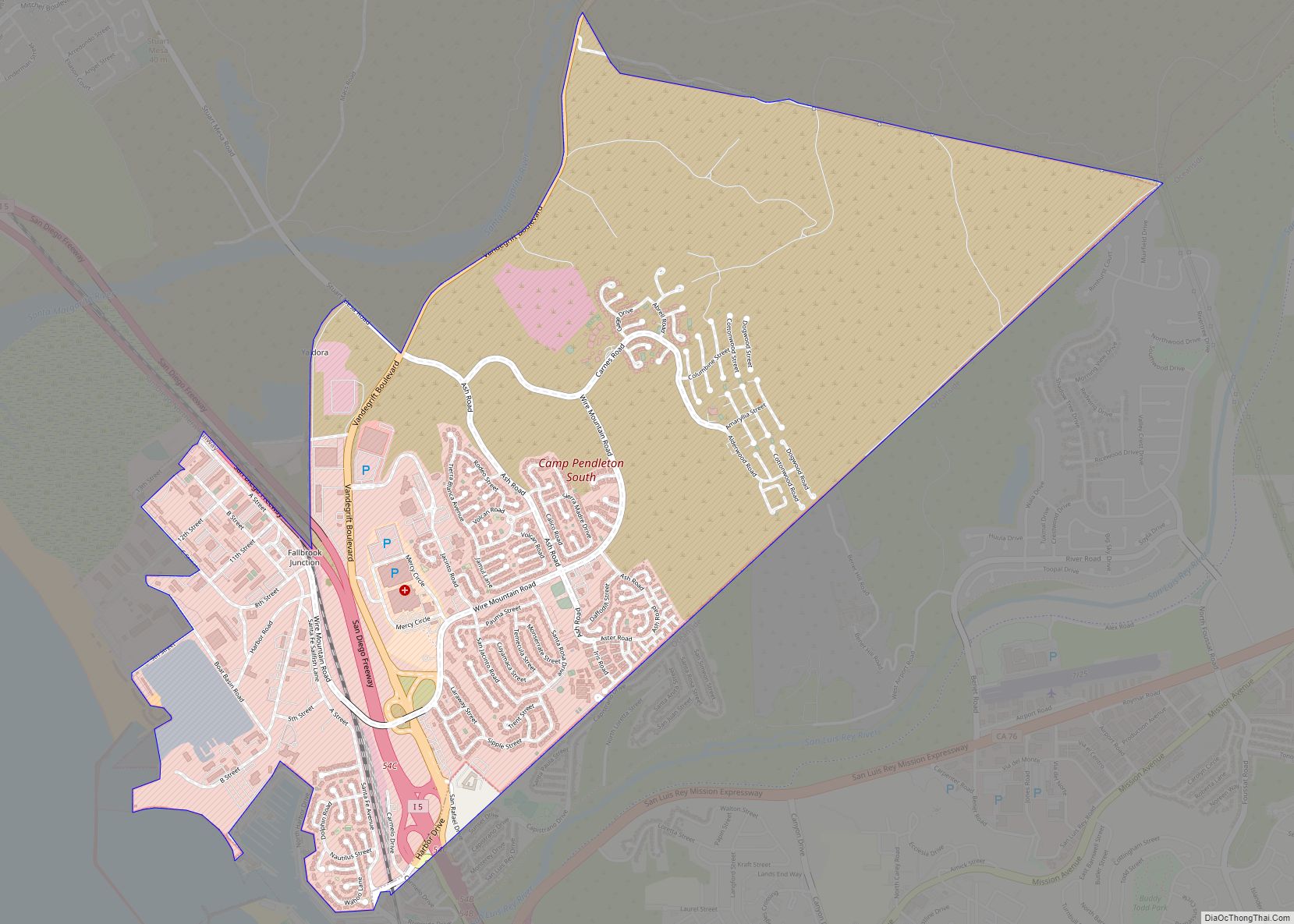
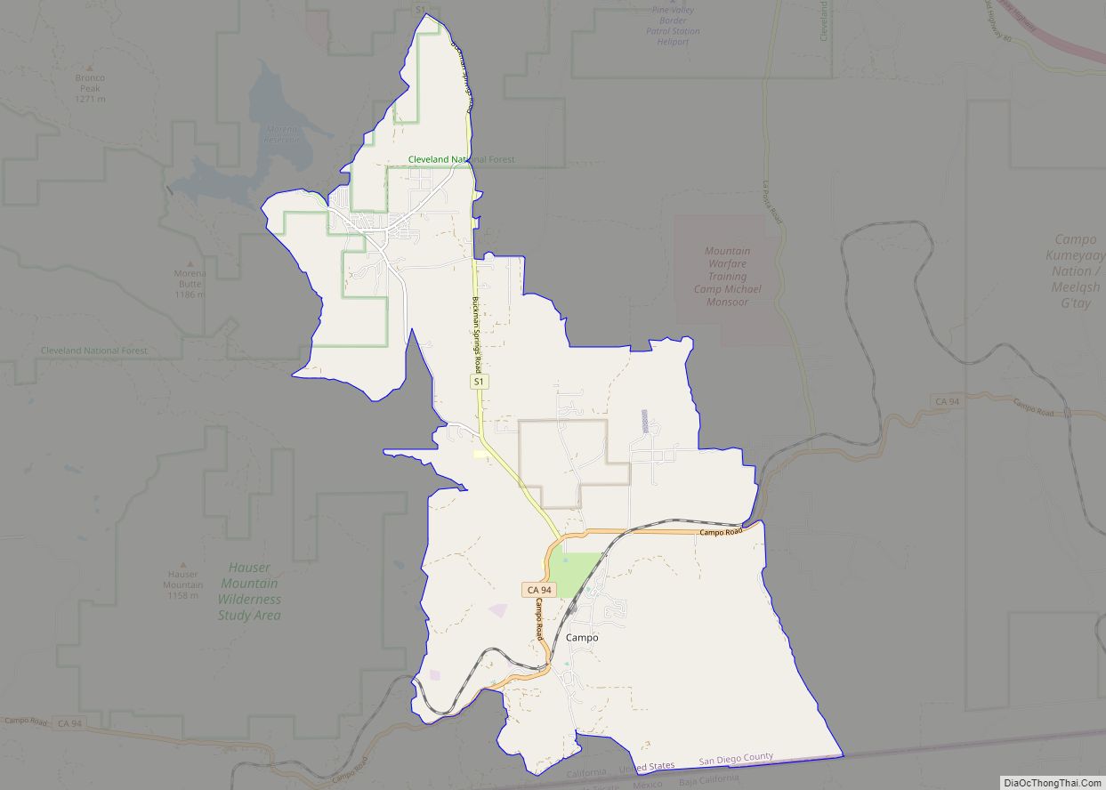
Valley Center location map. Where is Valley Center CDP?
History
Valley Center was the site of the capture of the largest California Grizzly Bear in history. In 1866, a grizzly weighing 2,200 pounds was killed at the Lovette house, which has now been demolished. Although the town had been settled in 1845 and homesteaded in 1862 after President Lincoln signed the Homestead Act, it had no formal name until the famous 1866 bear incident. The notoriety surrounding the event gave Valley Center its original name of Bear Valley. The name was subsequently changed to Valley in 1874, to Valley Centre in 1878 and, finally, to Valley Center in 1887. An exhibit of a smaller California Grizzly bear is on display at the Valley Center History Museum.
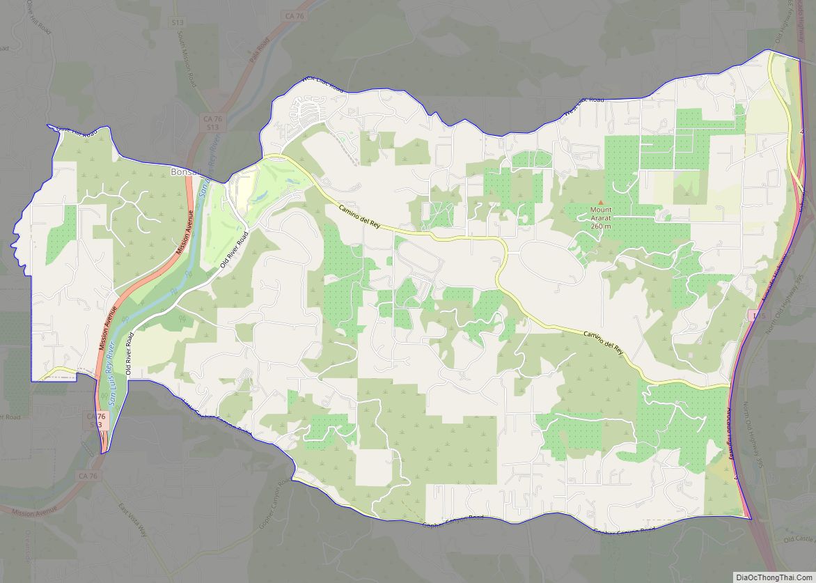
Valley Center Road Map
Valley Center city Satellite Map
Geography
Valley Center is located at 33°14′26″N 117°00′51″W / 33.240485°N 117.014262°W / 33.240485; -117.014262.
According to the United States Census Bureau, the CDP has a total area of 98.7 square miles (256 km), all land.
Valley Center is home to the Hellhole Canyon Preserve, a 1,907 acre nature reserve that offers 13.5 miles of moderate to advanced trail opportunities.
Climate
According to the Köppen Climate Classification system, Valley Center has a warm-summer Mediterranean climate abbreviated “Csa” on climate maps. On March 30 2023, a tornado warning was issued by the National Weather Service which is extremely rare for this part of the US.
See also
Map of California State and its subdivision:- Alameda
- Alpine
- Amador
- Butte
- Calaveras
- Colusa
- Contra Costa
- Del Norte
- El Dorado
- Fresno
- Glenn
- Humboldt
- Imperial
- Inyo
- Kern
- Kings
- Lake
- Lassen
- Los Angeles
- Madera
- Marin
- Mariposa
- Mendocino
- Merced
- Modoc
- Mono
- Monterey
- Napa
- Nevada
- Orange
- Placer
- Plumas
- Riverside
- Sacramento
- San Benito
- San Bernardino
- San Diego
- San Francisco
- San Joaquin
- San Luis Obispo
- San Mateo
- Santa Barbara
- Santa Clara
- Santa Cruz
- Shasta
- Sierra
- Siskiyou
- Solano
- Sonoma
- Stanislaus
- Sutter
- Tehama
- Trinity
- Tulare
- Tuolumne
- Ventura
- Yolo
- Yuba
- Alabama
- Alaska
- Arizona
- Arkansas
- California
- Colorado
- Connecticut
- Delaware
- District of Columbia
- Florida
- Georgia
- Hawaii
- Idaho
- Illinois
- Indiana
- Iowa
- Kansas
- Kentucky
- Louisiana
- Maine
- Maryland
- Massachusetts
- Michigan
- Minnesota
- Mississippi
- Missouri
- Montana
- Nebraska
- Nevada
- New Hampshire
- New Jersey
- New Mexico
- New York
- North Carolina
- North Dakota
- Ohio
- Oklahoma
- Oregon
- Pennsylvania
- Rhode Island
- South Carolina
- South Dakota
- Tennessee
- Texas
- Utah
- Vermont
- Virginia
- Washington
- West Virginia
- Wisconsin
- Wyoming
