Astatula is a town in Lake County, Florida, United States. The population was 1,810 at the 2010 census and an estimated 2,085 in 2019. It is part of the Orlando–Kissimmee–Sanford Metropolitan Statistical Area.
| Name: | Astatula town |
|---|---|
| LSAD Code: | 43 |
| LSAD Description: | town (suffix) |
| State: | Florida |
| County: | Lake County |
| Elevation: | 89 ft (27 m) |
| Total Area: | 3.16 sq mi (8.19 km²) |
| Land Area: | 3.13 sq mi (8.10 km²) |
| Water Area: | 0.04 sq mi (0.09 km²) |
| Total Population: | 1,889 |
| Population Density: | 604.09/sq mi (233.26/km²) |
| ZIP code: | 34705 |
| Area code: | 352 |
| FIPS code: | 1202250 |
| GNISfeature ID: | 2405177 |
| Website: | www.townofastatula.com |
Online Interactive Map
Click on ![]() to view map in "full screen" mode.
to view map in "full screen" mode.
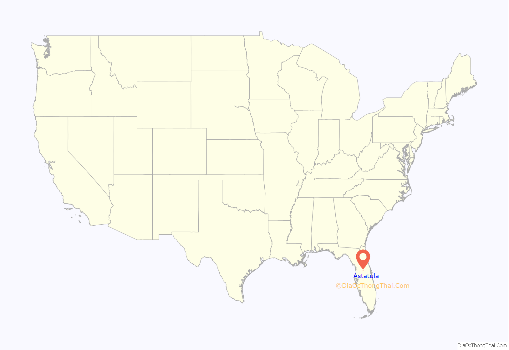
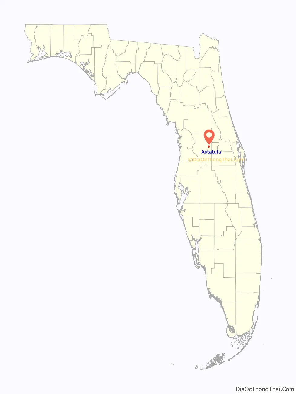
Astatula location map. Where is Astatula town?
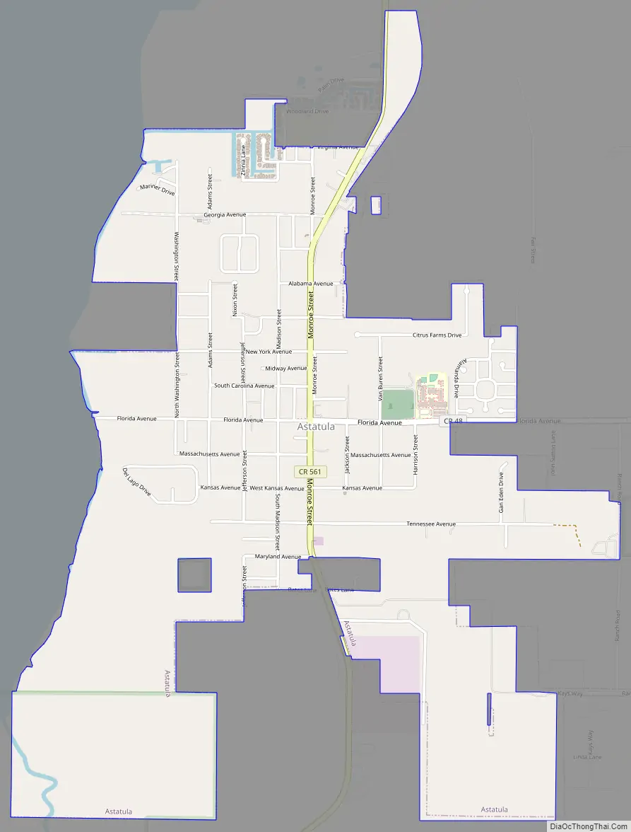
Astatula Road Map
Astatula city Satellite Map

Geography
Astatula is located in central Lake County on the east side of Little Lake Harris. County Road 561 (Monroe Street) is the main road through the town; it leads north 8 miles (13 km) to Tavares, the county seat, and south 7 miles (11 km) to U.S. Route 27 near Minneola.
According to the United States Census Bureau, Astatula has a total area of 3.2 square miles (8.2 km), of which 0.03 square miles (0.09 km), or 1.12%, are water.
See also
Map of Florida State and its subdivision:- Alachua
- Baker
- Bay
- Bradford
- Brevard
- Broward
- Calhoun
- Charlotte
- Citrus
- Clay
- Collier
- Columbia
- Desoto
- Dixie
- Duval
- Escambia
- Flagler
- Franklin
- Gadsden
- Gilchrist
- Glades
- Gulf
- Hamilton
- Hardee
- Hendry
- Hernando
- Highlands
- Hillsborough
- Holmes
- Indian River
- Jackson
- Jefferson
- Lafayette
- Lake
- Lee
- Leon
- Levy
- Liberty
- Madison
- Manatee
- Marion
- Martin
- Miami-Dade
- Monroe
- Nassau
- Okaloosa
- Okeechobee
- Orange
- Osceola
- Palm Beach
- Pasco
- Pinellas
- Polk
- Putnam
- Saint Johns
- Saint Lucie
- Santa Rosa
- Sarasota
- Seminole
- Sumter
- Suwannee
- Taylor
- Union
- Volusia
- Wakulla
- Walton
- Washington
- Alabama
- Alaska
- Arizona
- Arkansas
- California
- Colorado
- Connecticut
- Delaware
- District of Columbia
- Florida
- Georgia
- Hawaii
- Idaho
- Illinois
- Indiana
- Iowa
- Kansas
- Kentucky
- Louisiana
- Maine
- Maryland
- Massachusetts
- Michigan
- Minnesota
- Mississippi
- Missouri
- Montana
- Nebraska
- Nevada
- New Hampshire
- New Jersey
- New Mexico
- New York
- North Carolina
- North Dakota
- Ohio
- Oklahoma
- Oregon
- Pennsylvania
- Rhode Island
- South Carolina
- South Dakota
- Tennessee
- Texas
- Utah
- Vermont
- Virginia
- Washington
- West Virginia
- Wisconsin
- Wyoming


