Tavares (/tʌvˈɛəriz/, tuh-VAIR-ees) is a city and the county seat of Lake County, Florida. The population at the 2020 census was 19,003, and in 2019 the population was estimated to be 17,749. It is part of the Orlando–Kissimmee–Sanford Metropolitan Statistical Area.
| Name: | Tavares city |
|---|---|
| LSAD Code: | 25 |
| LSAD Description: | city (suffix) |
| State: | Florida |
| County: | Lake County |
| Incorporated: | 1880 |
| Elevation: | 118 ft (36 m) |
| Total Area: | 13.96 sq mi (36.17 km²) |
| Land Area: | 12.37 sq mi (32.03 km²) |
| Water Area: | 1.60 sq mi (4.14 km²) |
| Total Population: | 19,003 |
| Population Density: | 1,536.71/sq mi (593.34/km²) |
| ZIP code: | 32778 |
| Area code: | 352 |
| FIPS code: | 1271225 |
| GNISfeature ID: | 2405571 |
| Website: | www.tavares.org |
Online Interactive Map
Click on ![]() to view map in "full screen" mode.
to view map in "full screen" mode.
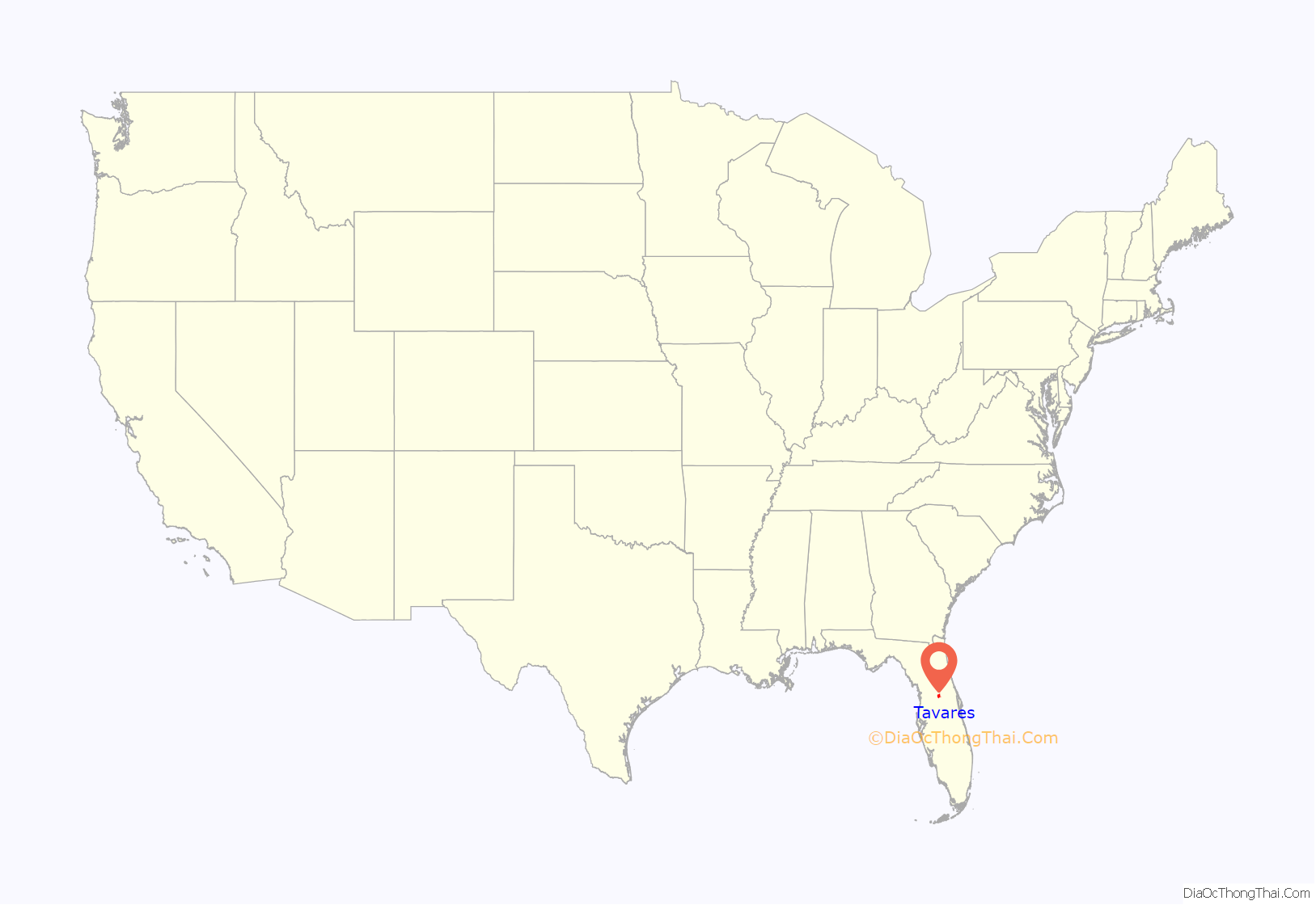
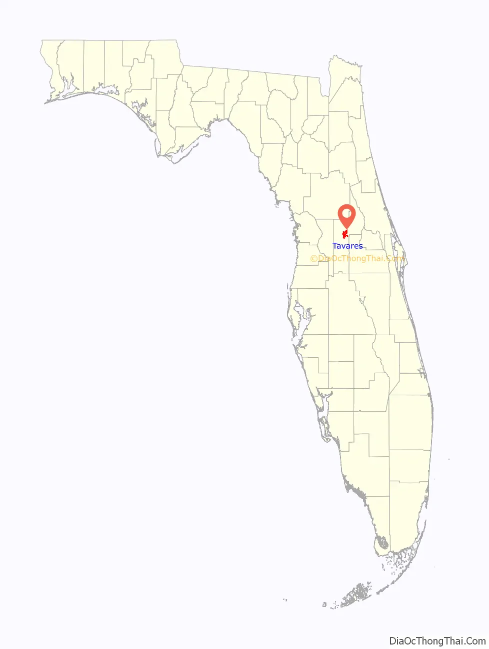
Tavares location map. Where is Tavares city?
History
Organized in 1885, and completed in 1888 on land donated by St. Clair-Abrams, the Union Congregational Church was the first church in Tavares.
Tavares was founded in 1880 by Alexander St. Clair-Abrams, a newspaper and railroad man from a Creole family in New Orleans . He gave it the surname of a Portuguese ancestor. In 1883 a post office was established; by the next year, a hotel, three stores, a sawmill, and eight cottages were built. St. Clair-Abrams’s dream of Tavares as the state capital was not realized, but in 1887 it was designated the county seat of Lake County. St. Clair-Abrams later chartered a railroad from Tavares to Orlando. In 1919, Tavares incorporated as a town.
Groveland Four
In 1949, the Groveland Four, were wrongly accused of raping a white woman in 1949. One was killed after fleeing, and three were convicted at trial in Tavares. The two adults were sentenced to death and the minor to life in prison. The Supreme Court of the United States overturned the verdict and ordered a new trial for the two capital defendants. One was killed while being transported to Tavares in 1951. Walter Irvin survived the shooting by the sheriff and was convicted again at trial. In 1955, his death sentence was commuted to life. He was paroled in 1968 and died in 1970. In 2016, the city of Groveland and Lake County formally apologized to families of all the men for injustice; in 2017, the Florida Legislature issued a formal apology and exonerated the men, calling on the governor to officially pardon them.
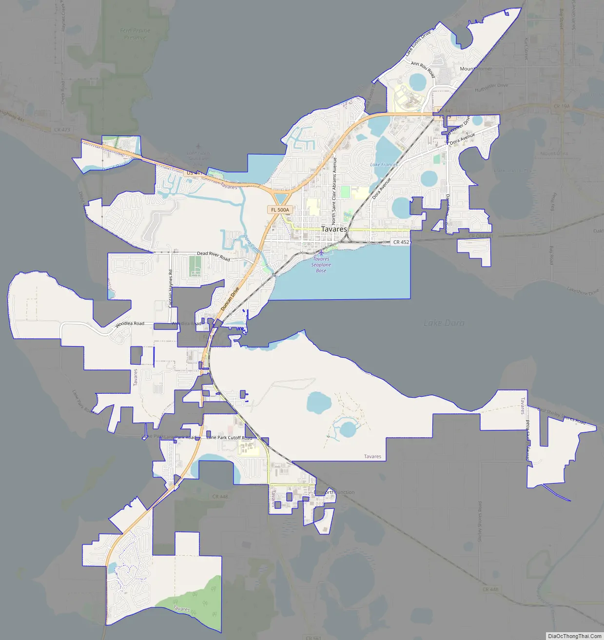
Tavares Road Map
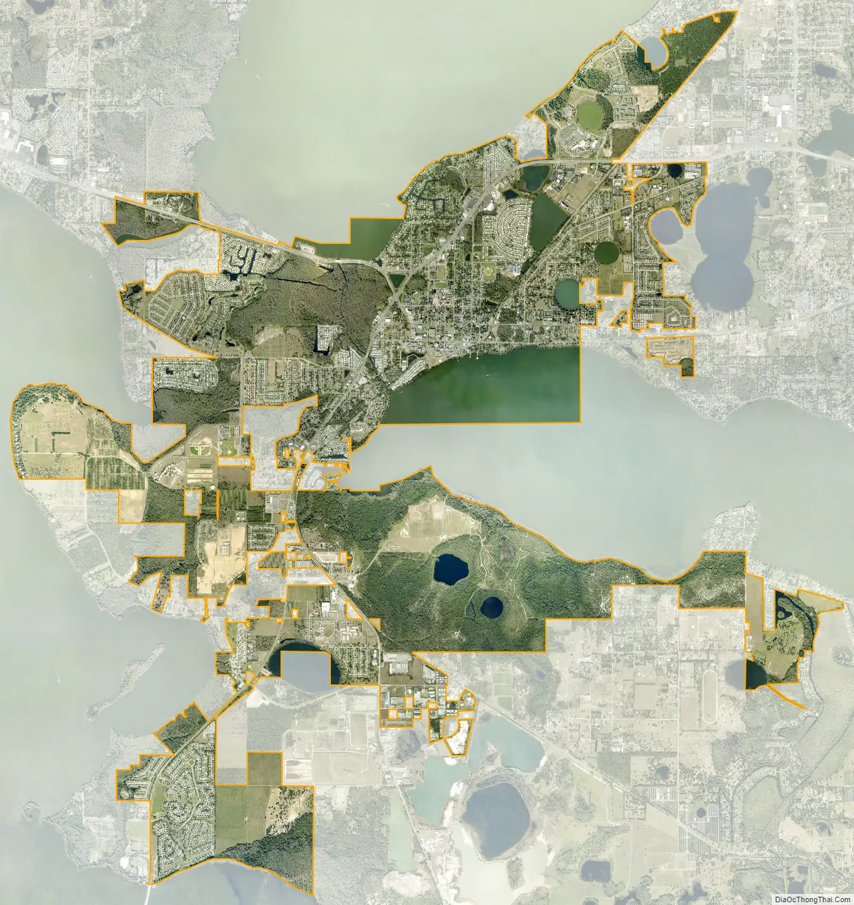
Tavares city Satellite Map
Geography
Tavares is at 28°48′6″N 81°44′1″W / 28.80167°N 81.73361°W / 28.80167; -81.73361 (28.801670, –81.733548). It sits on an isthmus between Lake Eustis to the north and Lake Dora to the south. The city of Eustis borders Tavares to the northeast, and Lake Harris is to the west.
U.S. Route 441 passes through the north side of Tavares, leading east 6 miles (10 km) to Mount Dora and west 10 miles (16 km) to Leesburg. Florida State Road 19 joins US 441 through part of Tavares, but leads northeast 5 miles (8 km) to Eustis and southwest 14 miles (23 km) to Florida’s Turnpike in the outskirts of Groveland. Tavares is 32 miles (51 km) northwest of Orlando and 43 miles (69 km) southeast of Ocala.
According to the United States Census Bureau, Tavares has a total area of 13.7 square miles (35.6 km); of this, 12.2 square miles (31.5 km) are land and 1.6 square miles (4.1 km), or 11.62%, are water.
See also
Map of Florida State and its subdivision:- Alachua
- Baker
- Bay
- Bradford
- Brevard
- Broward
- Calhoun
- Charlotte
- Citrus
- Clay
- Collier
- Columbia
- Desoto
- Dixie
- Duval
- Escambia
- Flagler
- Franklin
- Gadsden
- Gilchrist
- Glades
- Gulf
- Hamilton
- Hardee
- Hendry
- Hernando
- Highlands
- Hillsborough
- Holmes
- Indian River
- Jackson
- Jefferson
- Lafayette
- Lake
- Lee
- Leon
- Levy
- Liberty
- Madison
- Manatee
- Marion
- Martin
- Miami-Dade
- Monroe
- Nassau
- Okaloosa
- Okeechobee
- Orange
- Osceola
- Palm Beach
- Pasco
- Pinellas
- Polk
- Putnam
- Saint Johns
- Saint Lucie
- Santa Rosa
- Sarasota
- Seminole
- Sumter
- Suwannee
- Taylor
- Union
- Volusia
- Wakulla
- Walton
- Washington
- Alabama
- Alaska
- Arizona
- Arkansas
- California
- Colorado
- Connecticut
- Delaware
- District of Columbia
- Florida
- Georgia
- Hawaii
- Idaho
- Illinois
- Indiana
- Iowa
- Kansas
- Kentucky
- Louisiana
- Maine
- Maryland
- Massachusetts
- Michigan
- Minnesota
- Mississippi
- Missouri
- Montana
- Nebraska
- Nevada
- New Hampshire
- New Jersey
- New Mexico
- New York
- North Carolina
- North Dakota
- Ohio
- Oklahoma
- Oregon
- Pennsylvania
- Rhode Island
- South Carolina
- South Dakota
- Tennessee
- Texas
- Utah
- Vermont
- Virginia
- Washington
- West Virginia
- Wisconsin
- Wyoming


