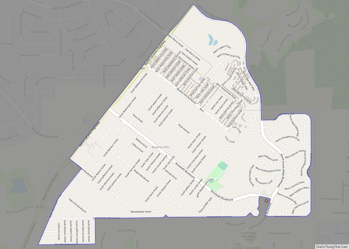
Beverly Hills is an unincorporated community and census-designated place in Citrus County, Florida, United States. The population was 8,445 at the 2010 census.
| Name: | Beverly Hills CDP |
|---|---|
| LSAD Code: | 57 |
| LSAD Description: | CDP (suffix) |
| State: | Florida |
| County: | Citrus County |
| Elevation: | 102 ft (31 m) |
| Total Area: | 2.97 sq mi (7.68 km²) |
| Land Area: | 2.97 sq mi (7.68 km²) |
| Water Area: | 0.00 sq mi (0.00 km²) |
| Total Population: | 9,961 |
| Population Density: | 3,357.26/sq mi (1,296.28/km²) |
| ZIP code: | 34464-34465 |
| Area code: | 352 |
| FIPS code: | 1206125 |
| GNISfeature ID: | 0304633 |
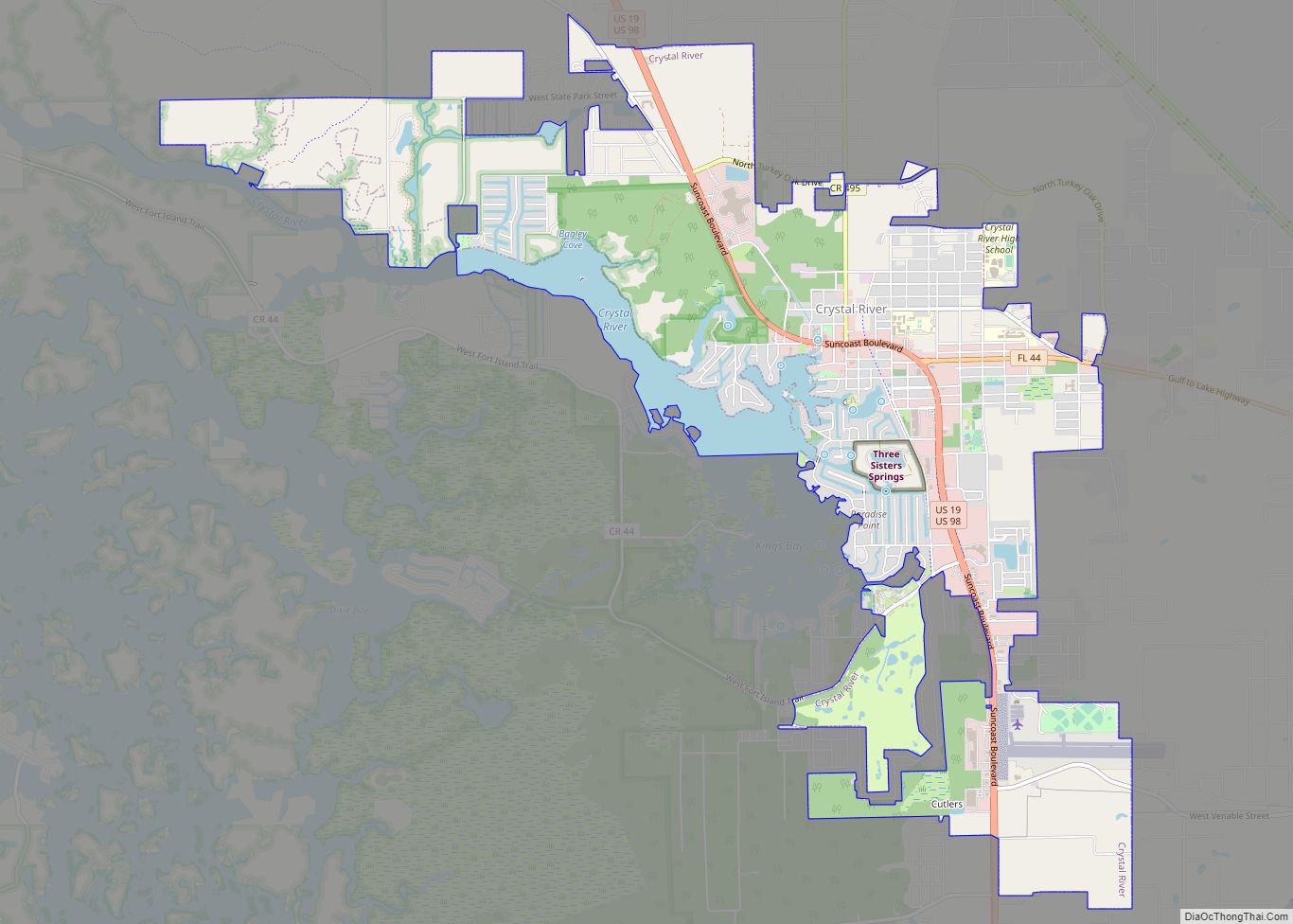
Online Interactive Map
Click on ![]() to view map in "full screen" mode.
to view map in "full screen" mode.
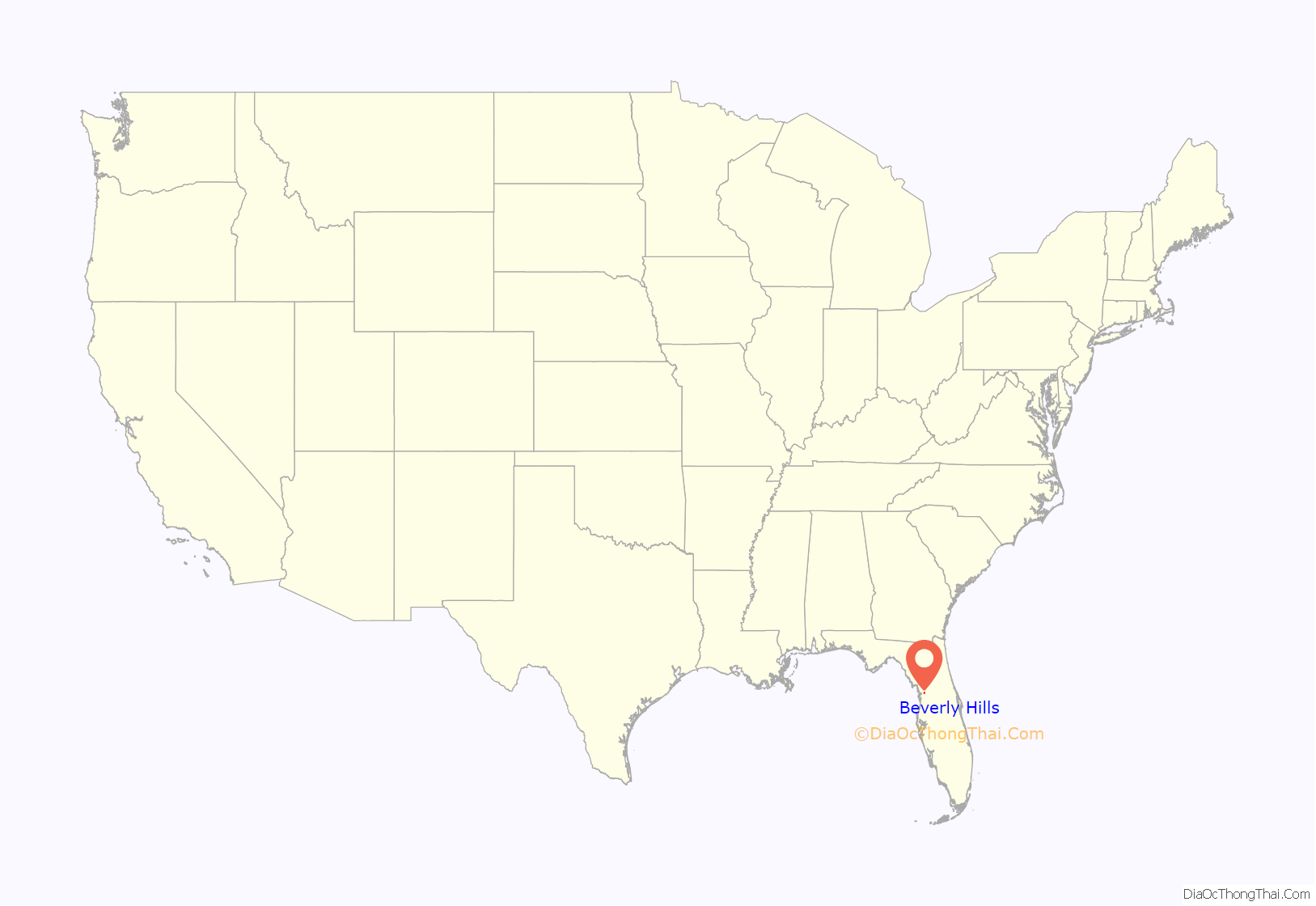
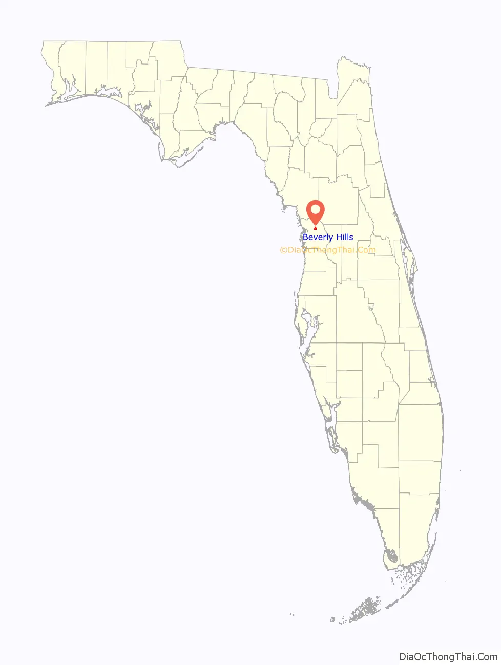
Beverly Hills location map. Where is Beverly Hills CDP?
History
Sam Kellner, a Jewish businessman from New York, made a fortune in the tire business during the 1930s and 1940s, after which he went into construction and real estate development. Around 1960 he purchased 3,500 acres of land in interior Citrus County. Within a few years, Kellner began to develop the former cattle land, selling simple, single-story homes to retirees from the urban North, especially New York and Detroit. Kellner named his new venture Beverly Hills.
Beverly Hills was among the first retirement-oriented planned communities in Central Florida. Like other such developments in South Florida and the Tampa-St. Petersburg area, a private company—Kellner’s Rolling Oaks Corporation—owned most of the non-residential property, including a nearby lumberyard and concrete plant. Purchasing land in a rural, inland area allowed Kellner to market the new community to working class retirees at affordable prices. Beverly Hills proved an early success, growing from 20 homes in the spring of 1962 to around 400 by the end of 1965. In 1972, the development’s population reached 4,500 residents living in 2,200 homes.
In 1980, Beverly Hills Development Corp. purchased the subdivision from original developer Sam Kellner in 1980 and nine years later it was sold to Morrison Homes, the Atlanta-based home builder which ceased selling homes in the subdivision in 1999.
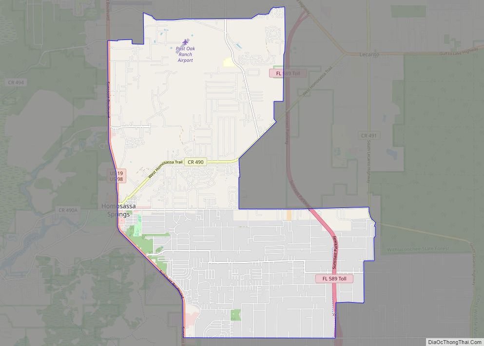
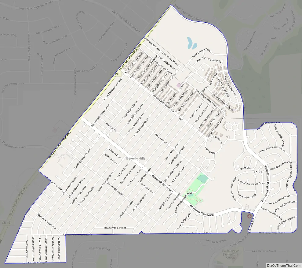
Beverly Hills Road Map
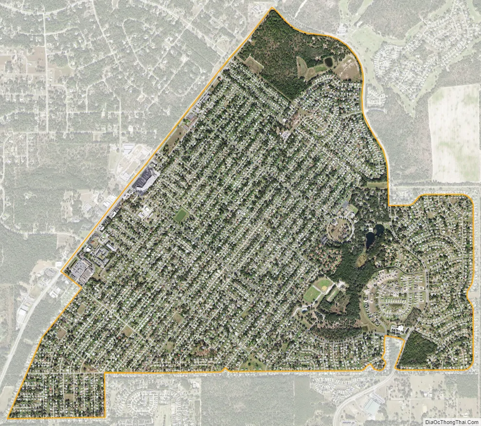
Beverly Hills city Satellite Map
Geography
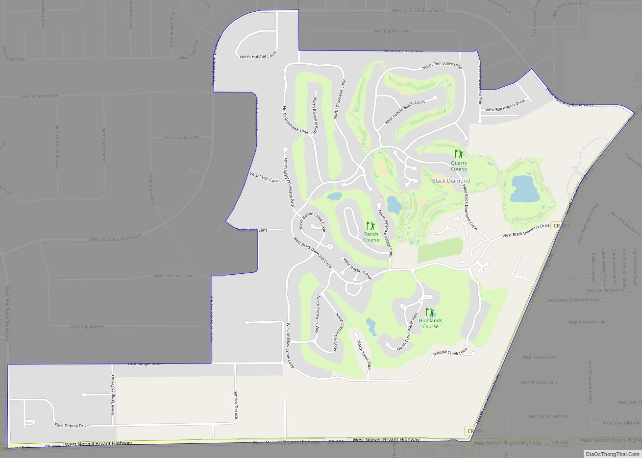
Beverly Hills is located in north-central Citrus County at 28°55′03″N 82°27′22″W / 28.917466°N 82.456167°W / 28.917466; -82.456167. It is nearly surrounded by the community of Pine Ridge, except for a small area on the west where it is bordered by Black Diamond. County Road 491 (North Lecanto Highway) forms the northwestern edge of the Beverly Hills CDP, leading northeast 4 miles (6 km) to U.S. Route 41 and southwest 5 miles (8 km) to State Road 44 in Lecanto.
According to the United States Census Bureau, the CDP has a total area of 3.0 square miles (7.7 km), all land.
See also
Map of Florida State and its subdivision:- Alachua
- Baker
- Bay
- Bradford
- Brevard
- Broward
- Calhoun
- Charlotte
- Citrus
- Clay
- Collier
- Columbia
- Desoto
- Dixie
- Duval
- Escambia
- Flagler
- Franklin
- Gadsden
- Gilchrist
- Glades
- Gulf
- Hamilton
- Hardee
- Hendry
- Hernando
- Highlands
- Hillsborough
- Holmes
- Indian River
- Jackson
- Jefferson
- Lafayette
- Lake
- Lee
- Leon
- Levy
- Liberty
- Madison
- Manatee
- Marion
- Martin
- Miami-Dade
- Monroe
- Nassau
- Okaloosa
- Okeechobee
- Orange
- Osceola
- Palm Beach
- Pasco
- Pinellas
- Polk
- Putnam
- Saint Johns
- Saint Lucie
- Santa Rosa
- Sarasota
- Seminole
- Sumter
- Suwannee
- Taylor
- Union
- Volusia
- Wakulla
- Walton
- Washington
- Alabama
- Alaska
- Arizona
- Arkansas
- California
- Colorado
- Connecticut
- Delaware
- District of Columbia
- Florida
- Georgia
- Hawaii
- Idaho
- Illinois
- Indiana
- Iowa
- Kansas
- Kentucky
- Louisiana
- Maine
- Maryland
- Massachusetts
- Michigan
- Minnesota
- Mississippi
- Missouri
- Montana
- Nebraska
- Nevada
- New Hampshire
- New Jersey
- New Mexico
- New York
- North Carolina
- North Dakota
- Ohio
- Oklahoma
- Oregon
- Pennsylvania
- Rhode Island
- South Carolina
- South Dakota
- Tennessee
- Texas
- Utah
- Vermont
- Virginia
- Washington
- West Virginia
- Wisconsin
- Wyoming