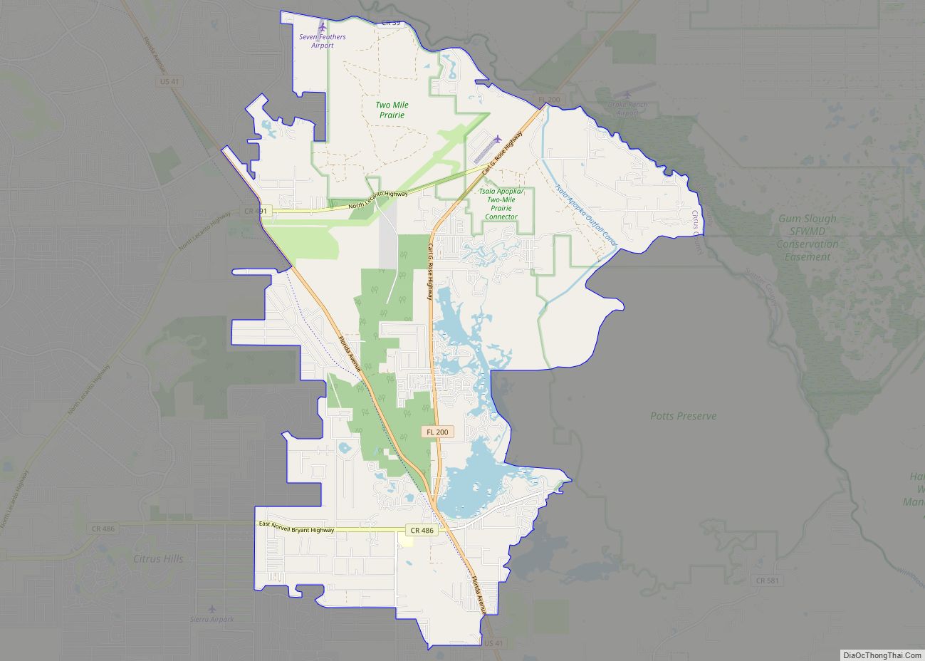
Lecanto is an unincorporated community and census-designated place (CDP) in Citrus County, Florida, United States. As of the 2010 census it had a population of 5,882, up from 5,161 in 2000. It is home to several county government facilities such as the Citrus County Sheriff’s Office and the Citrus Campus of the College of Central Florida.
| Name: | Lecanto CDP |
|---|---|
| LSAD Code: | 57 |
| LSAD Description: | CDP (suffix) |
| State: | Florida |
| County: | Citrus County |
| Elevation: | 46 ft (14 m) |
| Total Area: | 26.94 sq mi (69.77 km²) |
| Land Area: | 26.93 sq mi (69.75 km²) |
| Water Area: | 0.01 sq mi (0.02 km²) |
| Total Population: | 6,301 |
| Population Density: | 233.97/sq mi (90.34/km²) |
| ZIP code: | 34460-34461 |
| Area code: | 352 |
| FIPS code: | 1239825 |
| GNISfeature ID: | 0285422 |
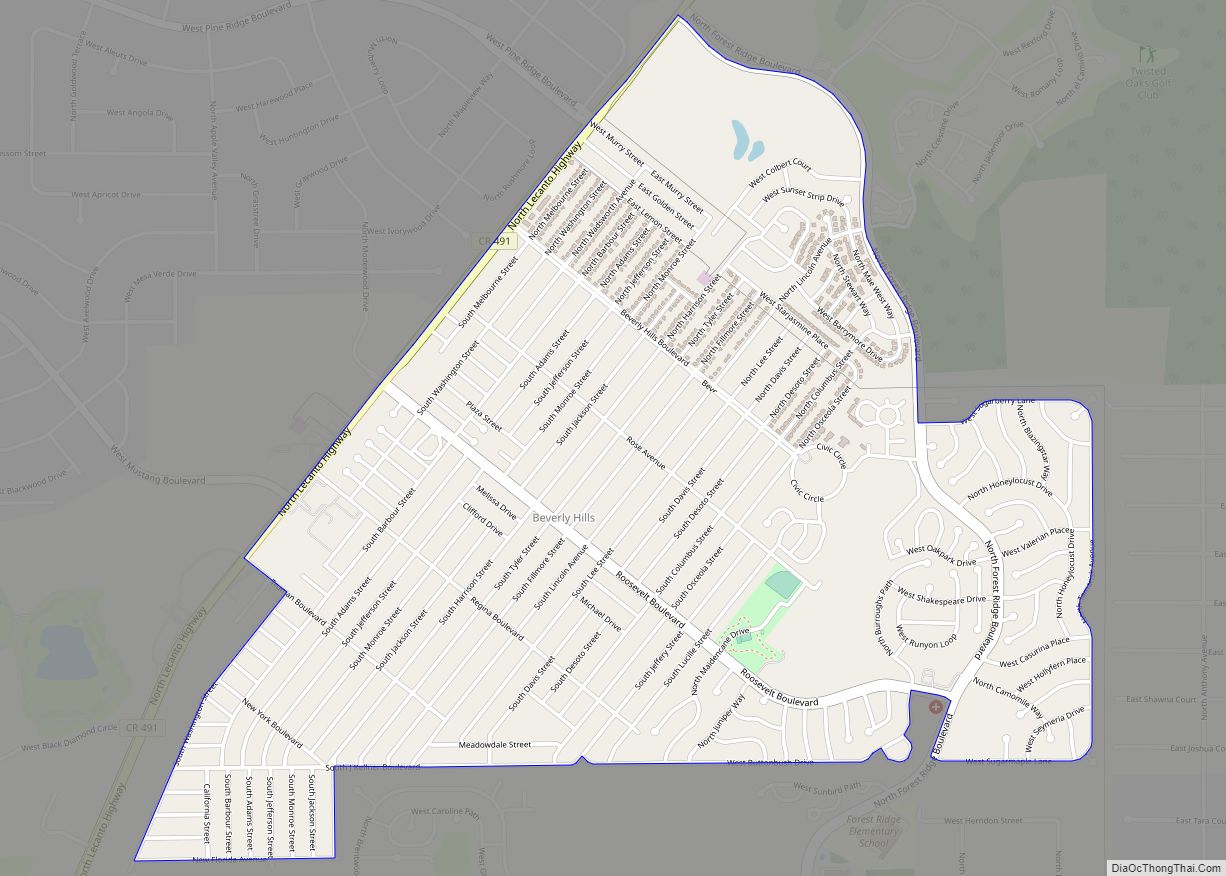
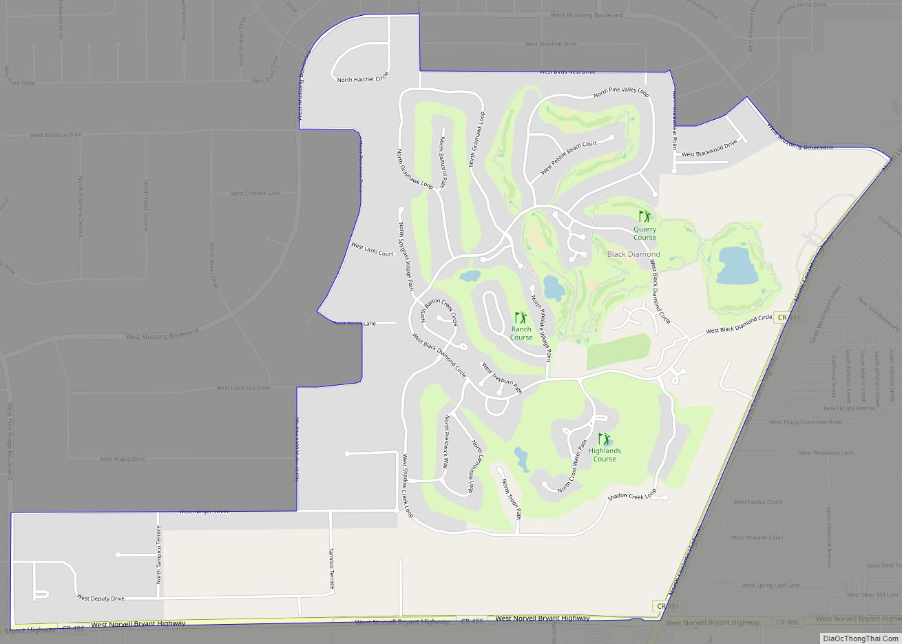
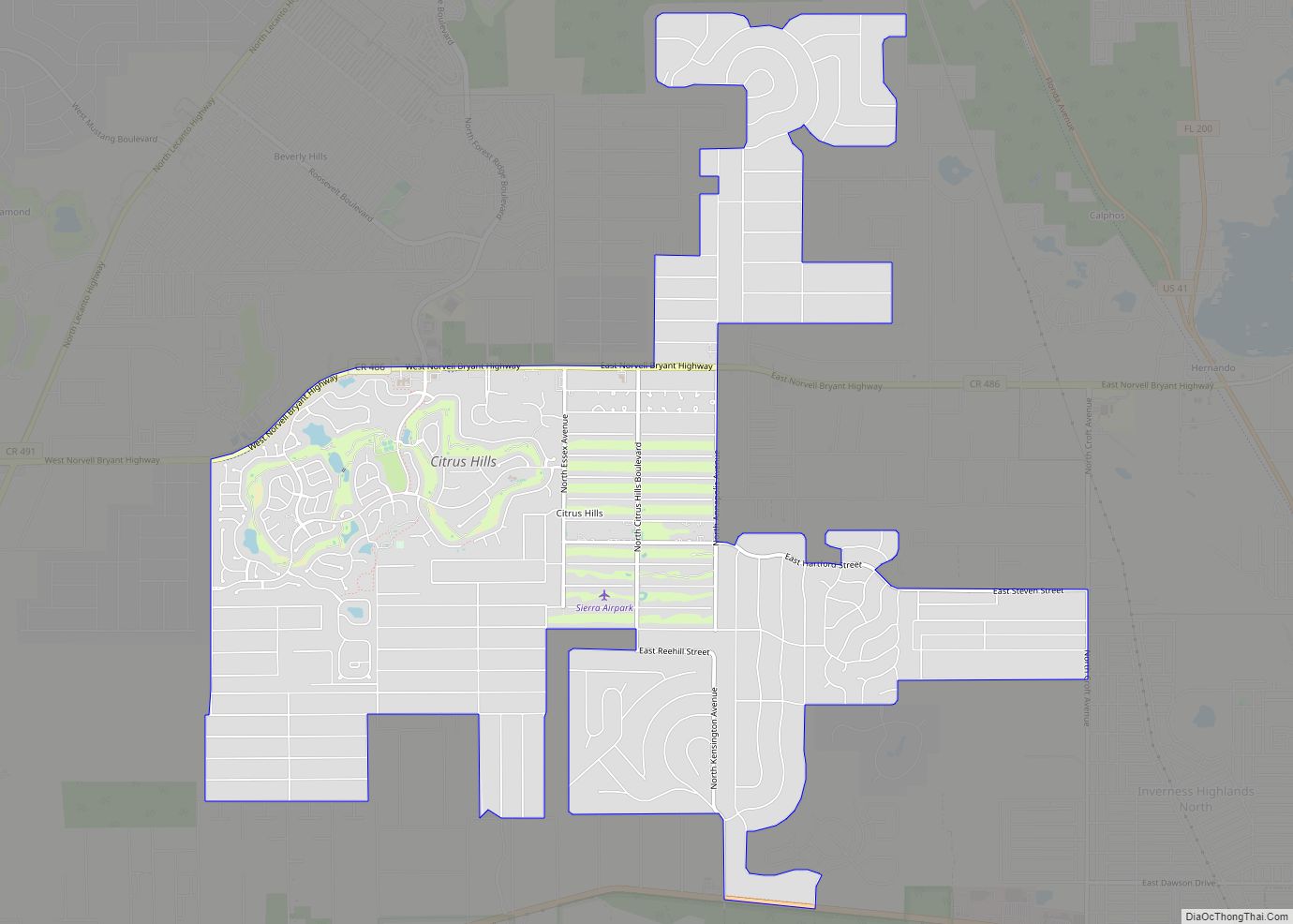
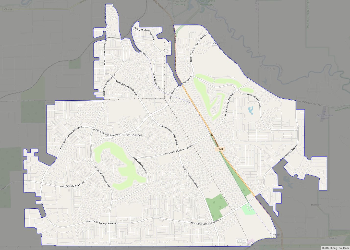
Online Interactive Map
Click on ![]() to view map in "full screen" mode.
to view map in "full screen" mode.
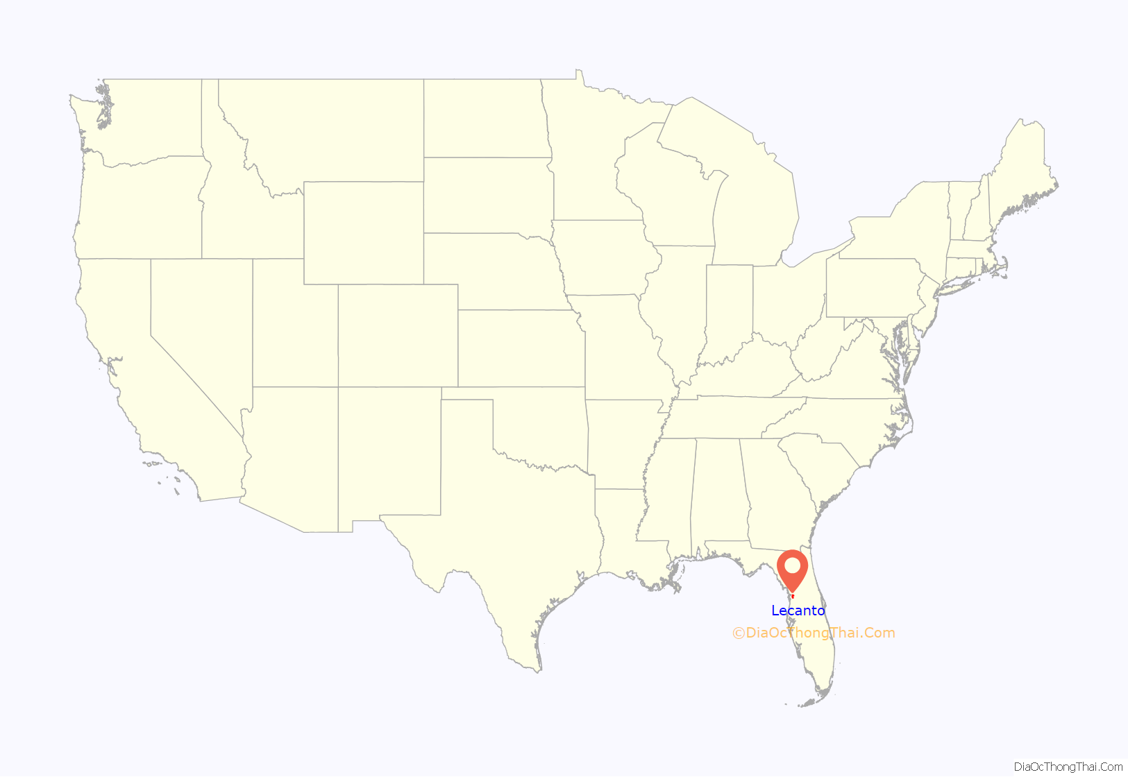
Lecanto location map. Where is Lecanto CDP?
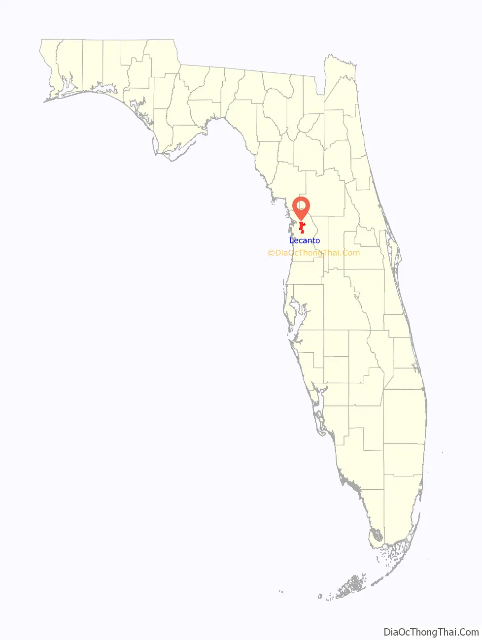
Lecanto Road Map
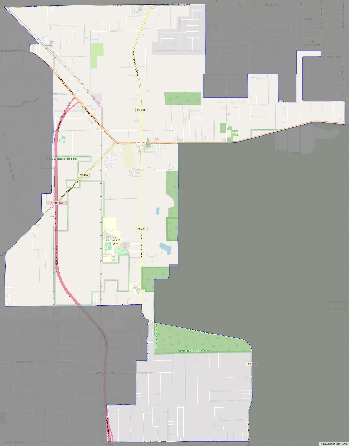
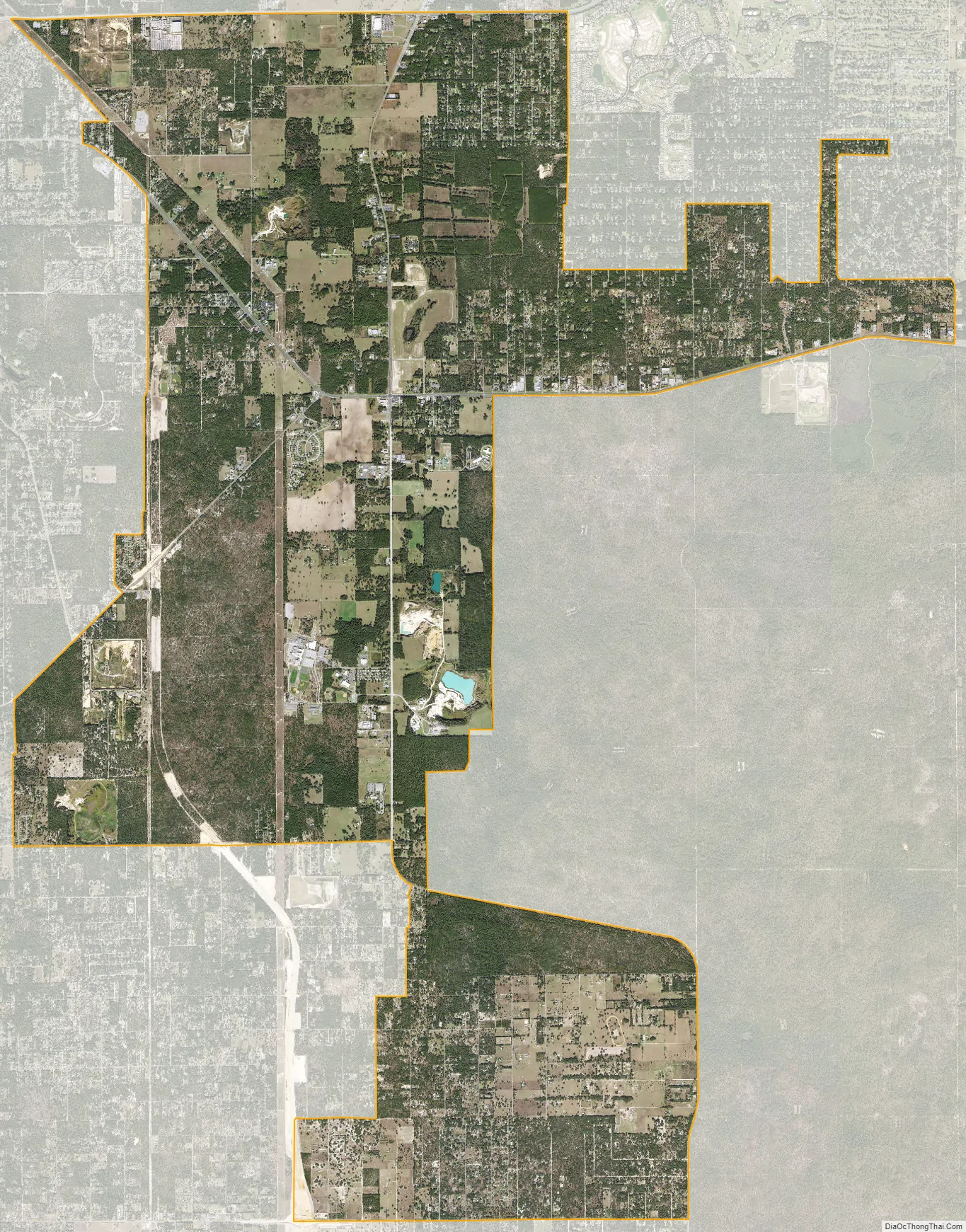
Lecanto city Satellite Map
Geography
Lecanto is located at the geographic center of Citrus County at 28°51′N 82°29′W / 28.850°N 82.483°W / 28.850; -82.483 (28.8488, -82.4811). State Road 44 (Gulf to Lake Highway) runs through the center of the CDP, leading west 7 miles (11 km) to Crystal River and east 10 miles (16 km) to Inverness, the county seat.
According to the United States Census Bureau, the CDP has a total area of 26.9 square miles (69.8 km), of which 0.008 square miles (0.02 km), or 0.03%, is water.
See also
Map of Florida State and its subdivision:- Alachua
- Baker
- Bay
- Bradford
- Brevard
- Broward
- Calhoun
- Charlotte
- Citrus
- Clay
- Collier
- Columbia
- Desoto
- Dixie
- Duval
- Escambia
- Flagler
- Franklin
- Gadsden
- Gilchrist
- Glades
- Gulf
- Hamilton
- Hardee
- Hendry
- Hernando
- Highlands
- Hillsborough
- Holmes
- Indian River
- Jackson
- Jefferson
- Lafayette
- Lake
- Lee
- Leon
- Levy
- Liberty
- Madison
- Manatee
- Marion
- Martin
- Miami-Dade
- Monroe
- Nassau
- Okaloosa
- Okeechobee
- Orange
- Osceola
- Palm Beach
- Pasco
- Pinellas
- Polk
- Putnam
- Saint Johns
- Saint Lucie
- Santa Rosa
- Sarasota
- Seminole
- Sumter
- Suwannee
- Taylor
- Union
- Volusia
- Wakulla
- Walton
- Washington
- Alabama
- Alaska
- Arizona
- Arkansas
- California
- Colorado
- Connecticut
- Delaware
- District of Columbia
- Florida
- Georgia
- Hawaii
- Idaho
- Illinois
- Indiana
- Iowa
- Kansas
- Kentucky
- Louisiana
- Maine
- Maryland
- Massachusetts
- Michigan
- Minnesota
- Mississippi
- Missouri
- Montana
- Nebraska
- Nevada
- New Hampshire
- New Jersey
- New Mexico
- New York
- North Carolina
- North Dakota
- Ohio
- Oklahoma
- Oregon
- Pennsylvania
- Rhode Island
- South Carolina
- South Dakota
- Tennessee
- Texas
- Utah
- Vermont
- Virginia
- Washington
- West Virginia
- Wisconsin
- Wyoming