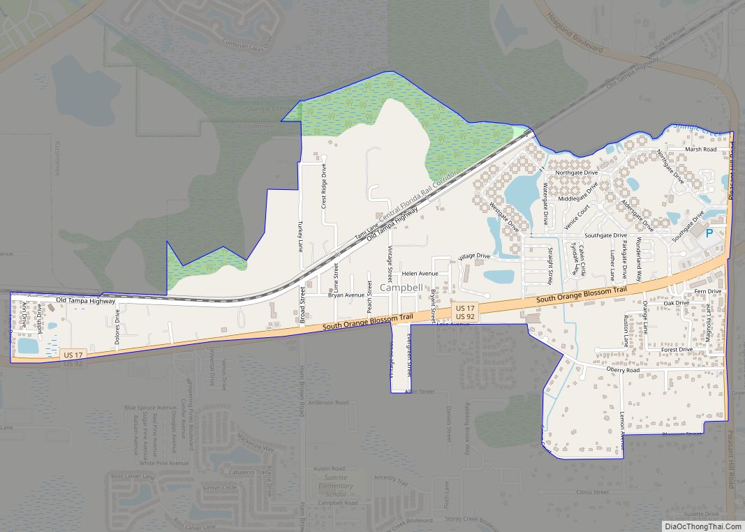
Campbell (often referred to locally as Campbell City) is a census-designated place and an unincorporated community in Osceola County, Florida, United States. Campbell City was named after Alfred Sidney Campbell who opened and operated the general store in the settlement. The population was 2,479 at the 2010 census. It is part of the Orlando–Kissimmee Metropolitan Statistical Area.
Campbell is north of a predominantly Hispanic community known as Poinciana. Campbell has many cattle ranches and has a high school, a middle school and an elementary school.
| Name: | Campbell CDP |
|---|---|
| LSAD Code: | 57 |
| LSAD Description: | CDP (suffix) |
| State: | Florida |
| County: | Osceola County |
| Elevation: | 66 ft (20 m) |
| Total Area: | 1.90 sq mi (4.92 km²) |
| Land Area: | 1.88 sq mi (4.87 km²) |
| Water Area: | 0.02 sq mi (0.05 km²) |
| Total Population: | 2,610 |
| Population Density: | 1,386.82/sq mi (535.41/km²) |
| FIPS code: | 1209875 |
| GNISfeature ID: | 2402744 |
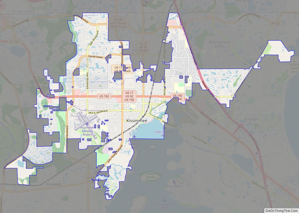
Online Interactive Map
Click on ![]() to view map in "full screen" mode.
to view map in "full screen" mode.
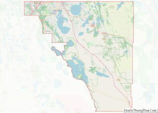
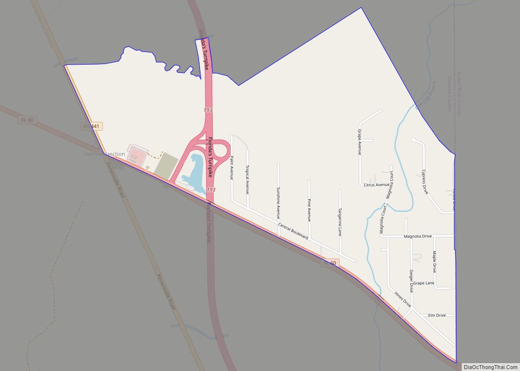
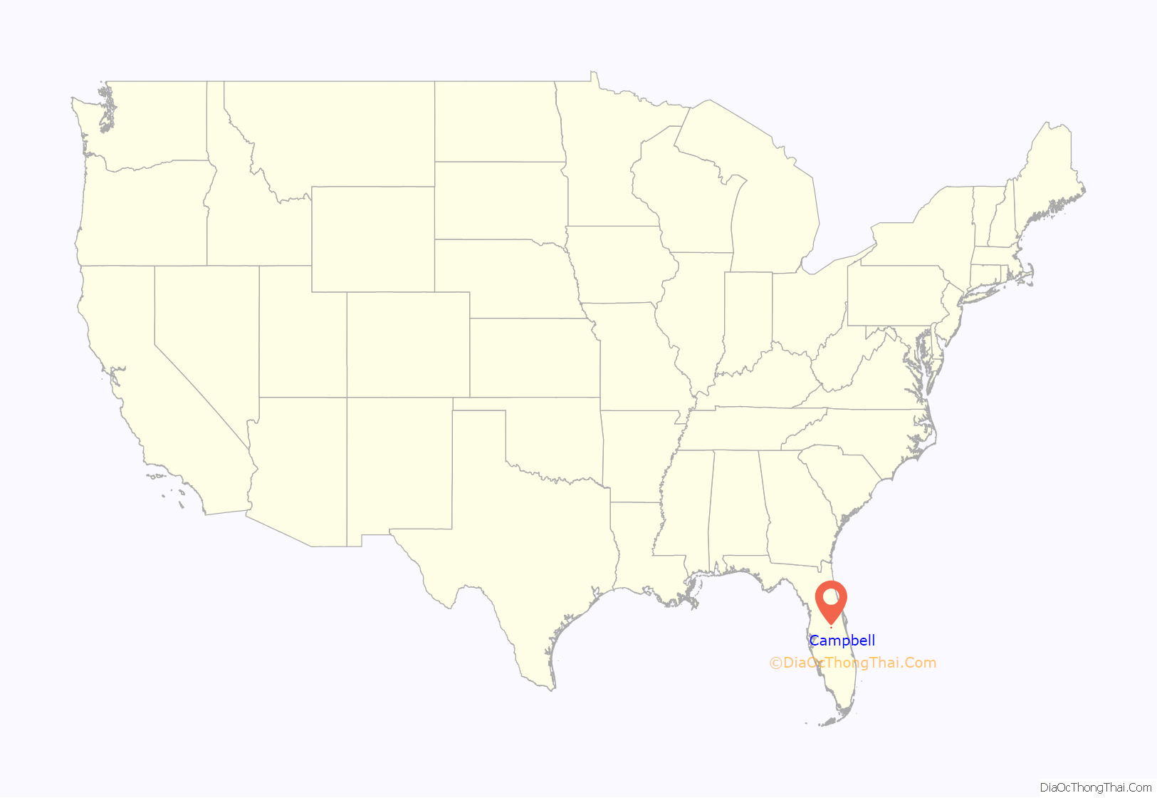
Campbell location map. Where is Campbell CDP?
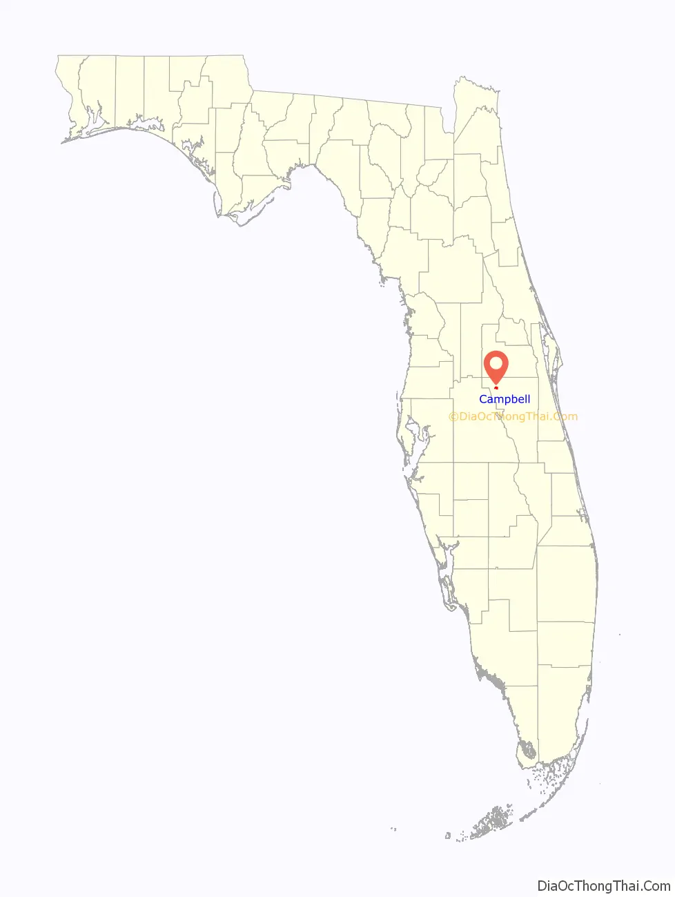
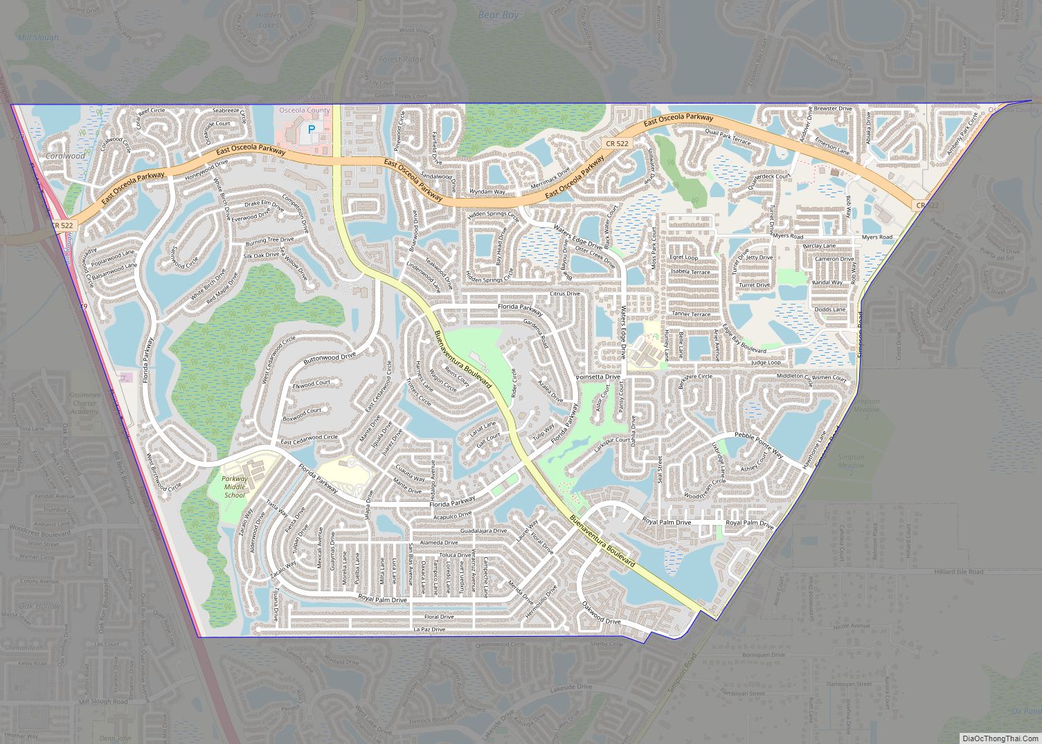
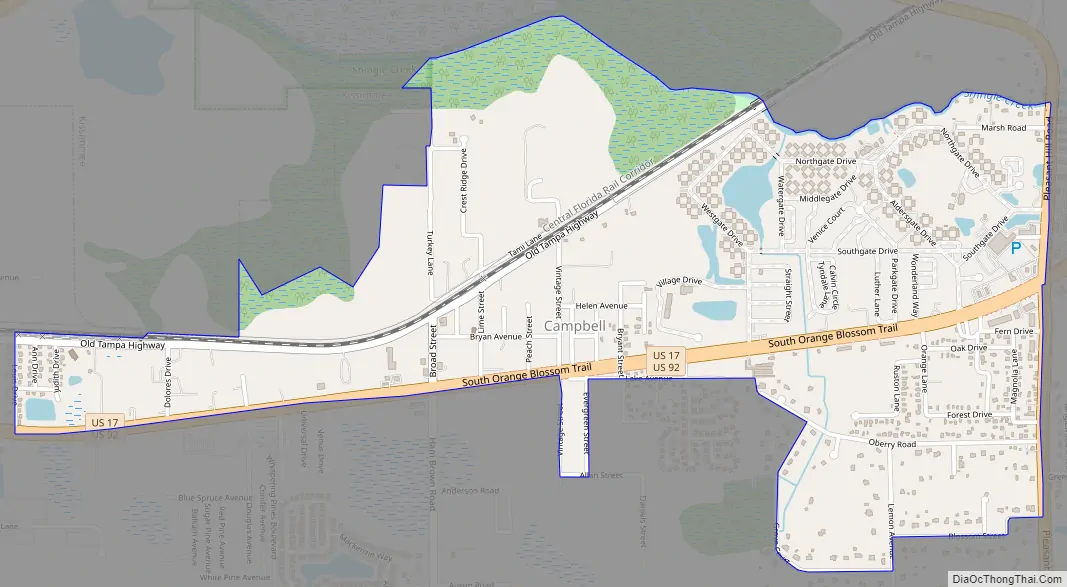
Campbell Road Map
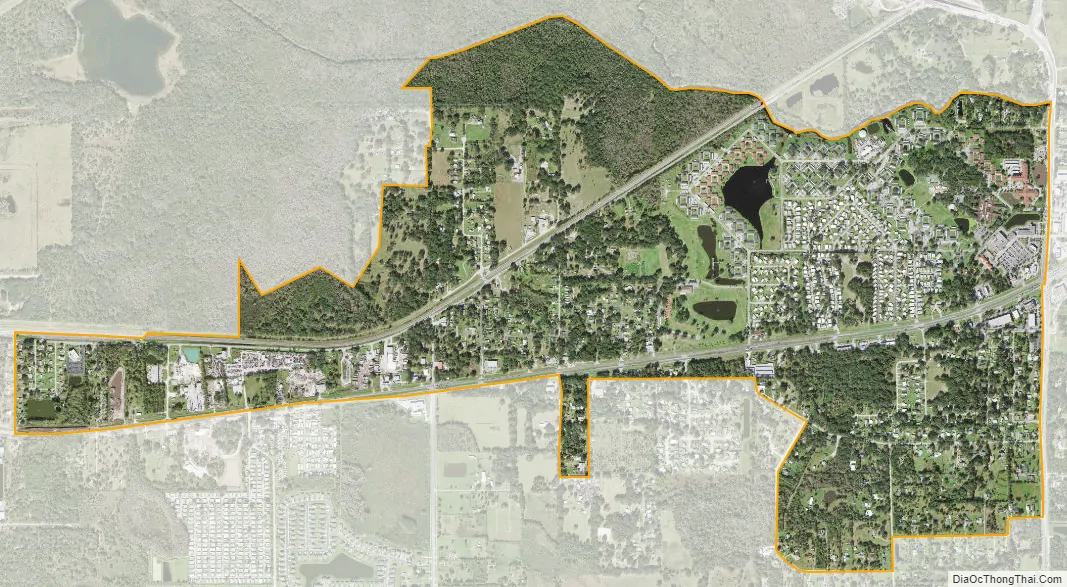
Campbell city Satellite Map
See also
Map of Florida State and its subdivision:- Alachua
- Baker
- Bay
- Bradford
- Brevard
- Broward
- Calhoun
- Charlotte
- Citrus
- Clay
- Collier
- Columbia
- Desoto
- Dixie
- Duval
- Escambia
- Flagler
- Franklin
- Gadsden
- Gilchrist
- Glades
- Gulf
- Hamilton
- Hardee
- Hendry
- Hernando
- Highlands
- Hillsborough
- Holmes
- Indian River
- Jackson
- Jefferson
- Lafayette
- Lake
- Lee
- Leon
- Levy
- Liberty
- Madison
- Manatee
- Marion
- Martin
- Miami-Dade
- Monroe
- Nassau
- Okaloosa
- Okeechobee
- Orange
- Osceola
- Palm Beach
- Pasco
- Pinellas
- Polk
- Putnam
- Saint Johns
- Saint Lucie
- Santa Rosa
- Sarasota
- Seminole
- Sumter
- Suwannee
- Taylor
- Union
- Volusia
- Wakulla
- Walton
- Washington
- Alabama
- Alaska
- Arizona
- Arkansas
- California
- Colorado
- Connecticut
- Delaware
- District of Columbia
- Florida
- Georgia
- Hawaii
- Idaho
- Illinois
- Indiana
- Iowa
- Kansas
- Kentucky
- Louisiana
- Maine
- Maryland
- Massachusetts
- Michigan
- Minnesota
- Mississippi
- Missouri
- Montana
- Nebraska
- Nevada
- New Hampshire
- New Jersey
- New Mexico
- New York
- North Carolina
- North Dakota
- Ohio
- Oklahoma
- Oregon
- Pennsylvania
- Rhode Island
- South Carolina
- South Dakota
- Tennessee
- Texas
- Utah
- Vermont
- Virginia
- Washington
- West Virginia
- Wisconsin
- Wyoming