Century is a town in Escambia County, Florida, United States. Per the 2020 census, the population was 1,713. It is part of the Pensacola–Ferry Pass–Brent Metropolitan Statistical Area.
| Name: | Century town |
|---|---|
| LSAD Code: | 43 |
| LSAD Description: | town (suffix) |
| State: | Florida |
| County: | Escambia County |
| Elevation: | 85 ft (26 m) |
| Total Area: | 3.34 sq mi (8.64 km²) |
| Land Area: | 3.22 sq mi (8.34 km²) |
| Water Area: | 0.12 sq mi (0.31 km²) |
| Total Population: | 1,713 |
| Population Density: | 532.15/sq mi (205.47/km²) |
| ZIP code: | 32535 |
| Area code: | 850/448 |
| FIPS code: | 1211362 |
| GNISfeature ID: | 0280274 |
| Website: | www.townofcenturyflorida.com |
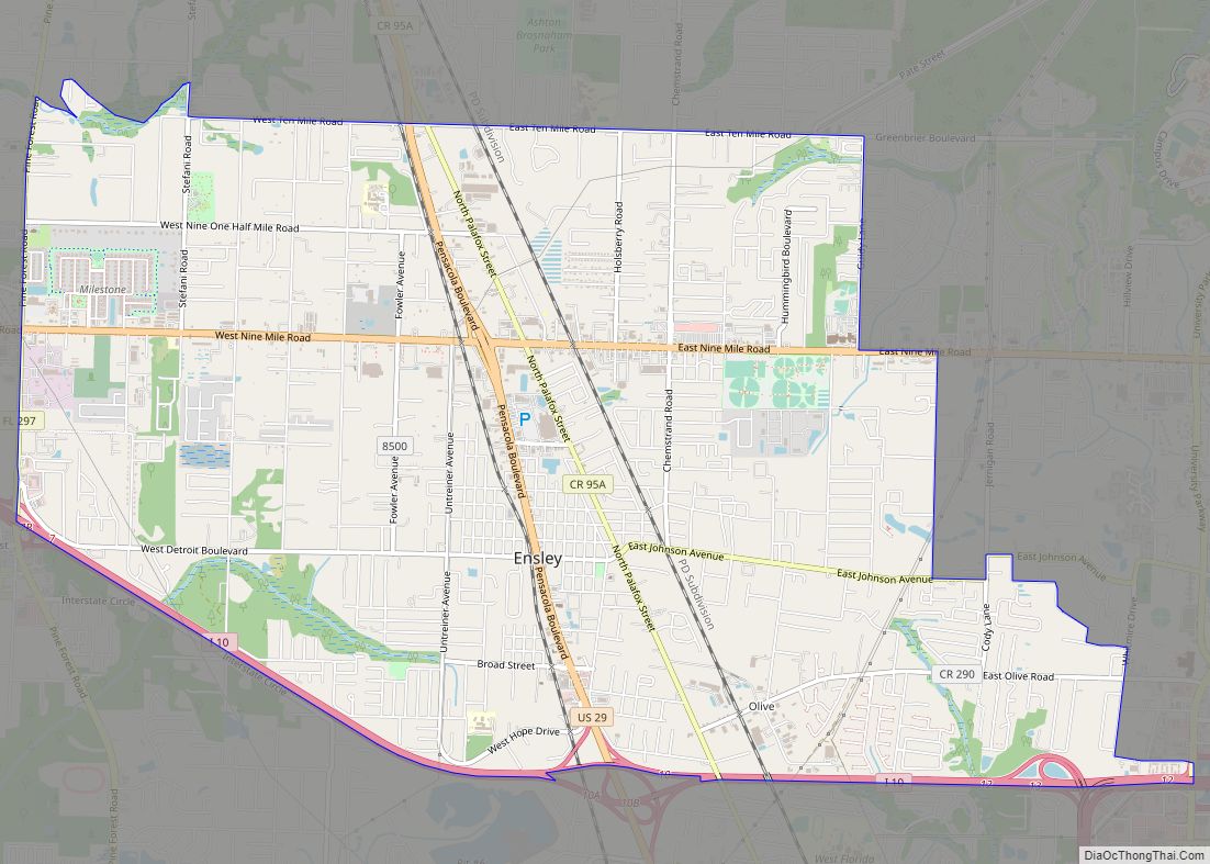
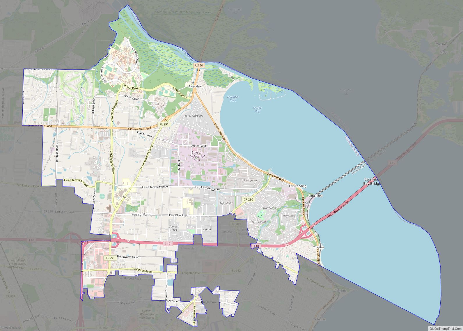
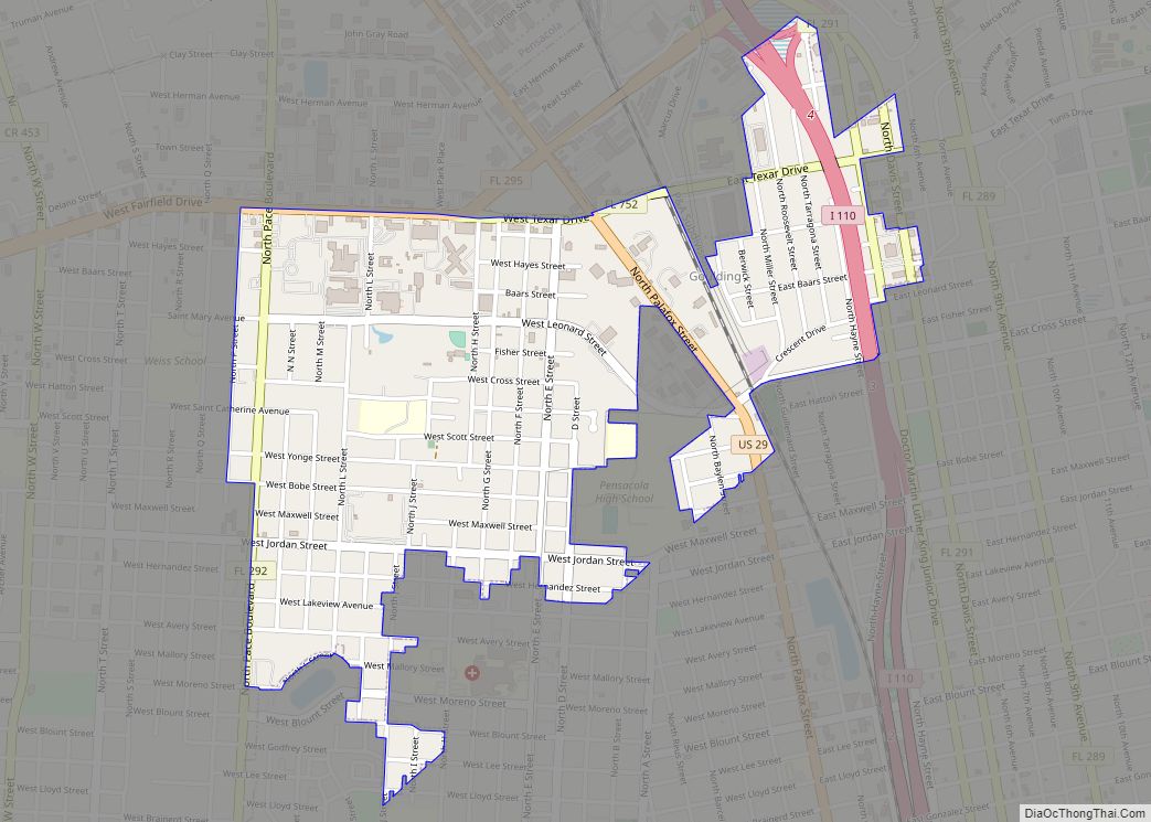
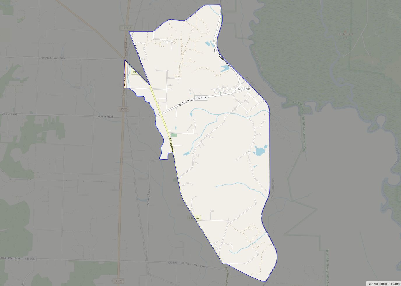
Online Interactive Map
Click on ![]() to view map in "full screen" mode.
to view map in "full screen" mode.
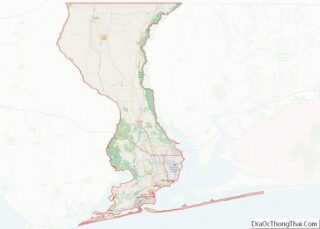
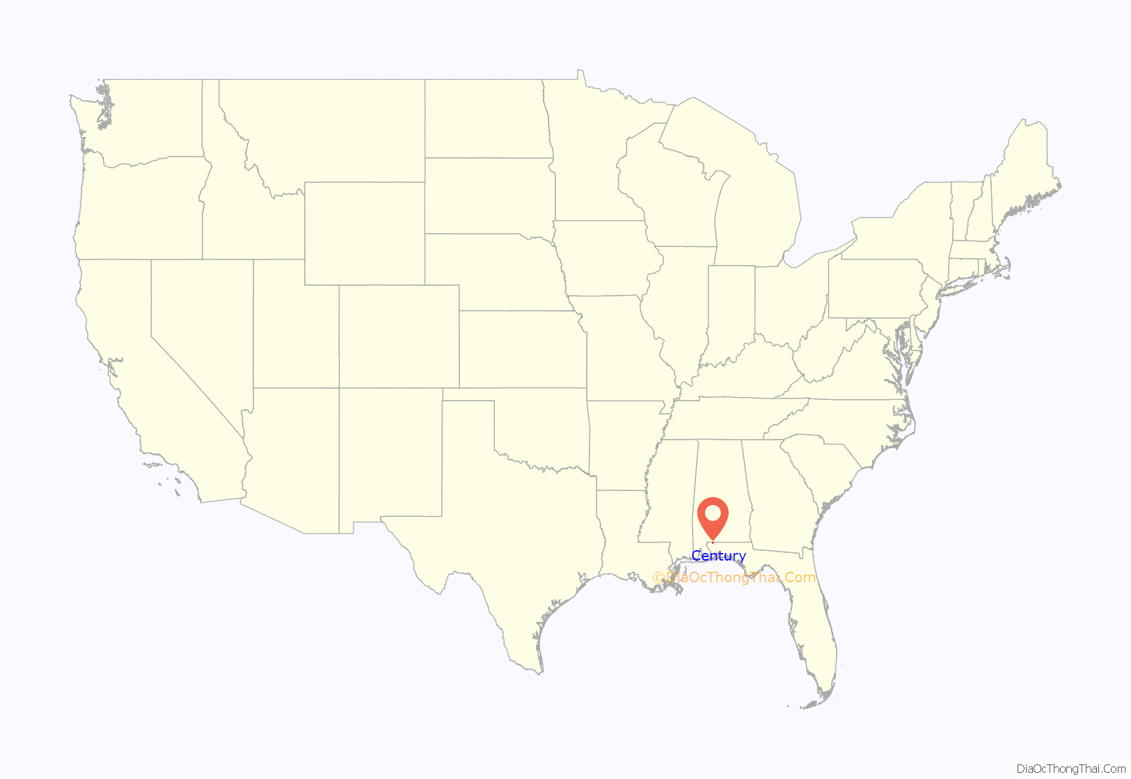
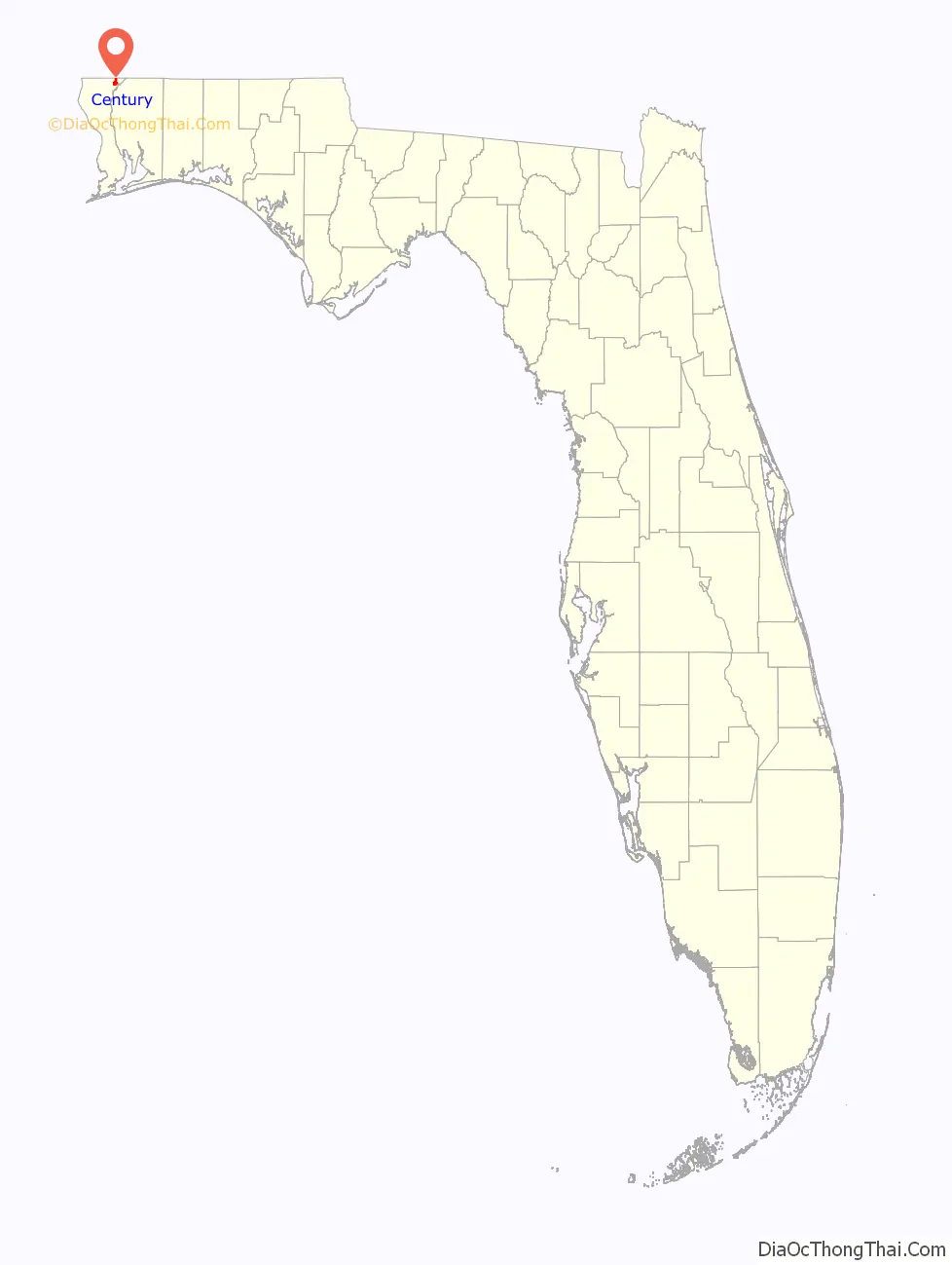
Century location map. Where is Century town?
History
Century was founded in 1901 as a sawmill company town, and named because 1901 was the first year of the 20th century. A post office has been in operation at Century since 1901. On February 15, 2016, the town was hit by an EF3 tornado, heavily damaging and destroying homes, and injuring three people.
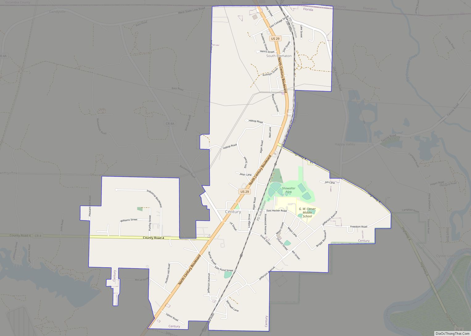
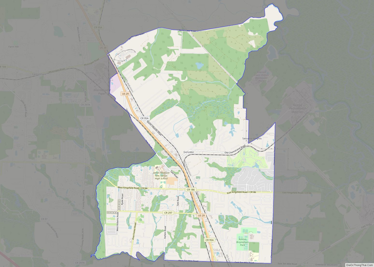
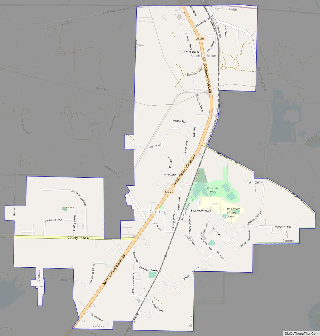
Century Road Map
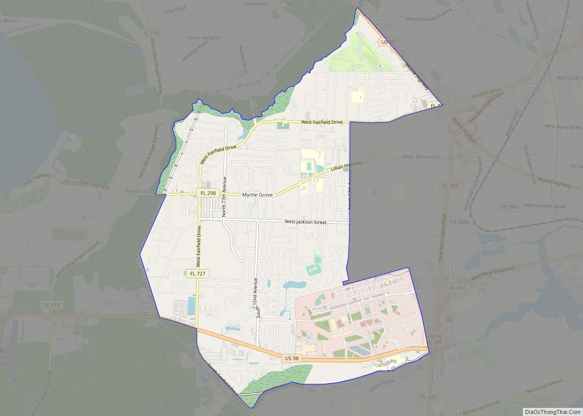
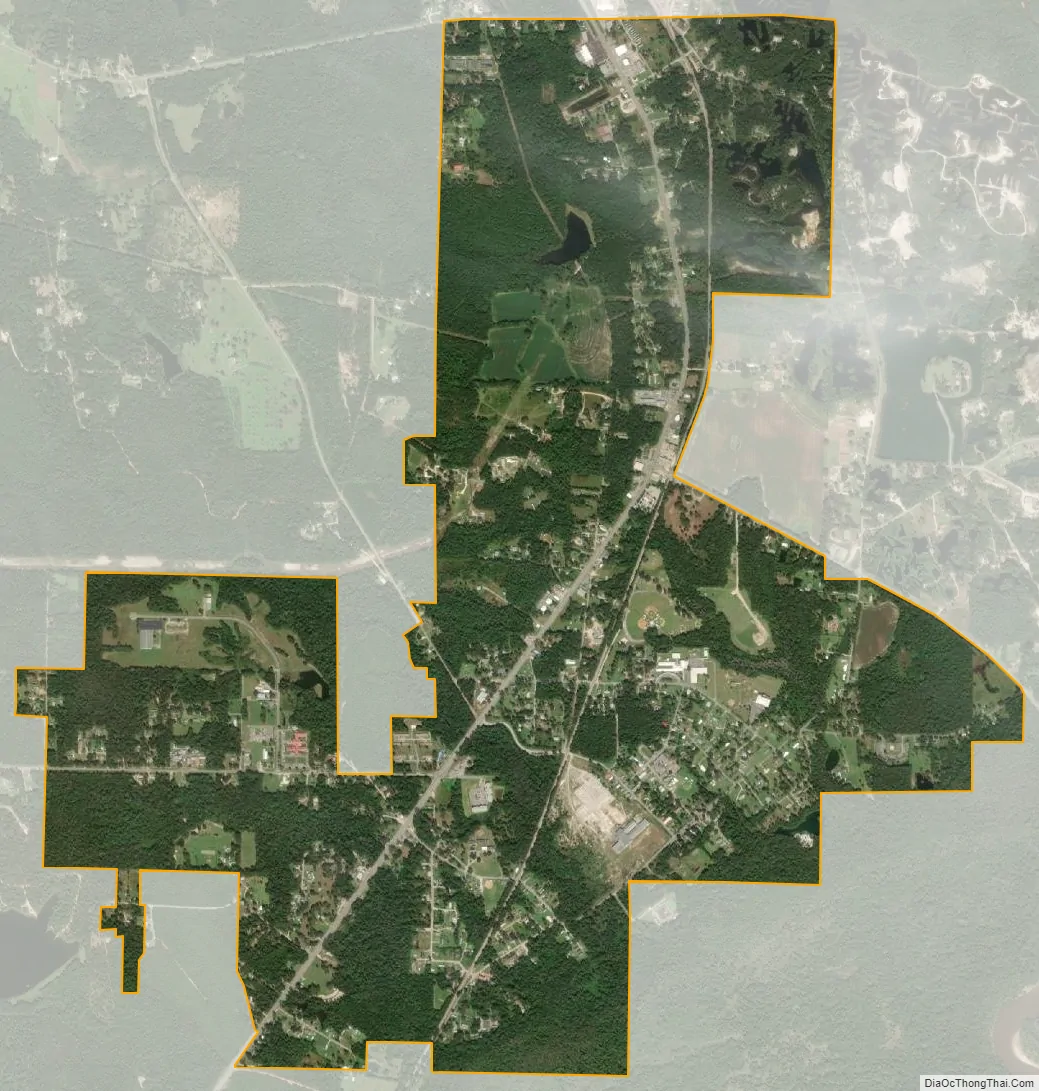
Century city Satellite Map
Geography
Century is located at 30°58′40″N 87°15′41″W / 30.97778°N 87.26139°W / 30.97778; -87.26139 (30.977648, –87.261500).
According to the United States Census Bureau, the town has a total area of 3.4 square miles (8.7 km), of which 3.2 square miles (8.4 km) is land and 0.12 square miles (0.3 km), or 3.69%, is water.
Century is located in the western highlands of Florida. This physiographic province of the northern Gulf Coast region is made up of sand, silt, and clay hills. These highlands are deeply incised by creeks and rivers. Century is located on the western edge of the Escambia River floodplain. A small portion of the town (the eastern side) is within the floodplain itself. Most of the community, however, is located above the floodplain on level to gently sloping hillsides.
Century’s roadway network is highly irregular. It does not conform to the state of Florida’s section, township and range survey system, for two reasons. The first is because Spanish land grants were issued along the Escambia River in the 16th and 17th centuries. These boundaries established a unique survey system that contorted east-to-west survey boundaries once Florida became a state and a state survey system was adopted, at which time previously existing survey systems were “grandfathered” in. The second reason for an irregular roadway and property boundary system is due to the community originally being built around the Louisville and Nashville Railroad (now the CSX railway). Automobile highways were eventually constructed, and closely paralleled the railway. U.S. Route 29 (US 29), a more modern highway, was constructed and moved many of the commercial operations west of the small original core of the community (now mostly located within the Alger-Sullivan Lumber Company Residential Historic District).
US 29 is used by residents of Escambia County to reach points north. Alabama State Route 113 leads north from the state line to Interstate 65 and provides the area with a route to Montgomery, Birmingham and Atlanta. From a southbound perspective, Century is en route between these major cities and the coastal beaches at Pensacola Beach and Perdido Key in Florida.
Century is the western terminus of State Road 4, which leads east to the communities of Jay, Munson, Baker, and Milligan.
Fresh water supplies are abundant, with water being withdrawn as groundwater from the local sand and gravel aquifer.
In 1970, oil was discovered in the nearby community of Jay. Oil was also discovered near the town of Century, especially to its northeast. Oil became important to the local economy during the last quarter of the 20th century.
Gravel and sand is mined in open pits in and near Century. These natural mineral deposits are essential to supporting the construction industries in nearby Pensacola and Mobile, especially for use as aggregate materials in concrete.
Timber and pulpwood are other valuable natural commodities of the area. Nearby papermills at Cantontment, and Brewton, Alabama, provide a market for cut pulpwood. Timber processing is conducted by another industry about 10 miles (16 km) south of Century.
See also
Map of Florida State and its subdivision:- Alachua
- Baker
- Bay
- Bradford
- Brevard
- Broward
- Calhoun
- Charlotte
- Citrus
- Clay
- Collier
- Columbia
- Desoto
- Dixie
- Duval
- Escambia
- Flagler
- Franklin
- Gadsden
- Gilchrist
- Glades
- Gulf
- Hamilton
- Hardee
- Hendry
- Hernando
- Highlands
- Hillsborough
- Holmes
- Indian River
- Jackson
- Jefferson
- Lafayette
- Lake
- Lee
- Leon
- Levy
- Liberty
- Madison
- Manatee
- Marion
- Martin
- Miami-Dade
- Monroe
- Nassau
- Okaloosa
- Okeechobee
- Orange
- Osceola
- Palm Beach
- Pasco
- Pinellas
- Polk
- Putnam
- Saint Johns
- Saint Lucie
- Santa Rosa
- Sarasota
- Seminole
- Sumter
- Suwannee
- Taylor
- Union
- Volusia
- Wakulla
- Walton
- Washington
- Alabama
- Alaska
- Arizona
- Arkansas
- California
- Colorado
- Connecticut
- Delaware
- District of Columbia
- Florida
- Georgia
- Hawaii
- Idaho
- Illinois
- Indiana
- Iowa
- Kansas
- Kentucky
- Louisiana
- Maine
- Maryland
- Massachusetts
- Michigan
- Minnesota
- Mississippi
- Missouri
- Montana
- Nebraska
- Nevada
- New Hampshire
- New Jersey
- New Mexico
- New York
- North Carolina
- North Dakota
- Ohio
- Oklahoma
- Oregon
- Pennsylvania
- Rhode Island
- South Carolina
- South Dakota
- Tennessee
- Texas
- Utah
- Vermont
- Virginia
- Washington
- West Virginia
- Wisconsin
- Wyoming