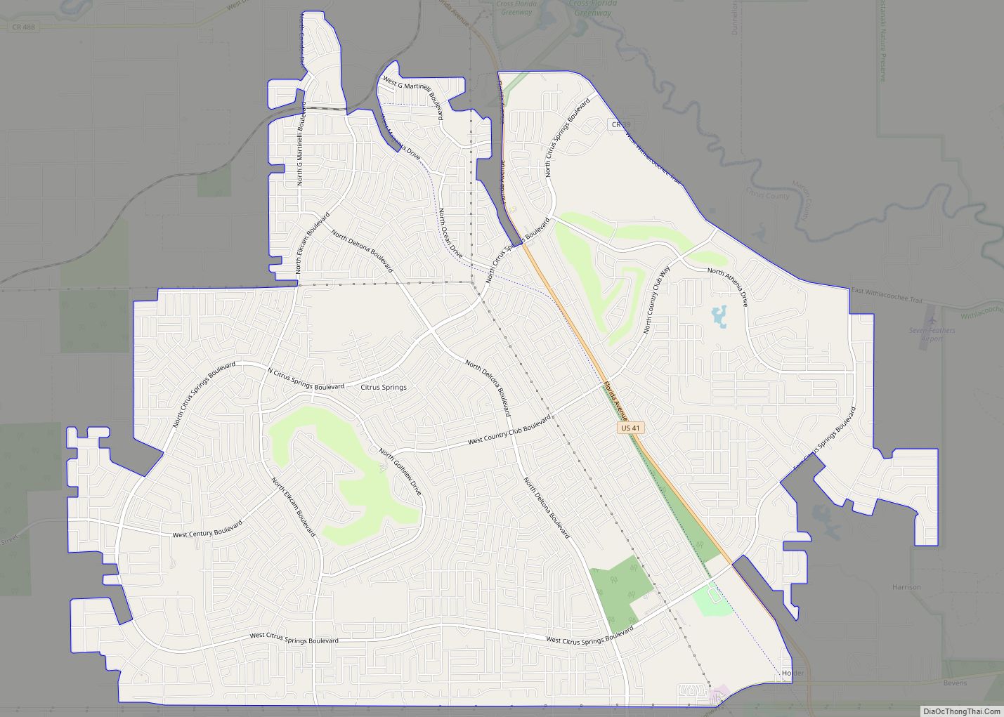
Citrus Springs is a census-designated place (CDP) in Citrus County, Florida, United States. The population was 8,622 as of the 2010 census, up from 4,157 in 2000.
| Name: | Citrus Springs CDP |
|---|---|
| LSAD Code: | 57 |
| LSAD Description: | CDP (suffix) |
| State: | Florida |
| County: | Citrus County |
| Elevation: | 95 ft (29 m) |
| Total Area: | 21.15 sq mi (54.77 km²) |
| Land Area: | 21.15 sq mi (54.77 km²) |
| Water Area: | 0.00 sq mi (0.00 km²) |
| Total Population: | 10,246 |
| Population Density: | 484.54/sq mi (187.08/km²) |
| ZIP code: | 34433-34434 |
| Area code: | 352 |
| FIPS code: | 1212450 |
| GNISfeature ID: | 0304634 |
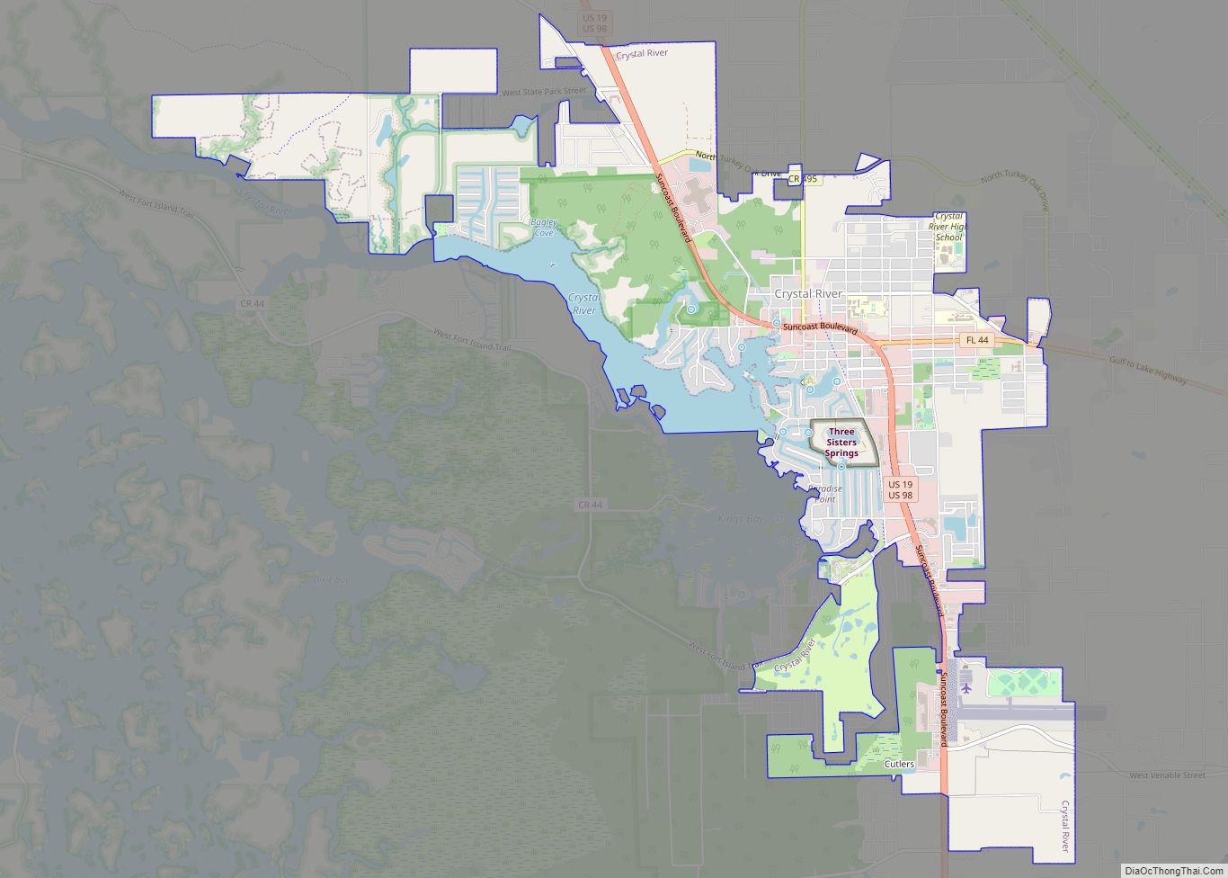
Online Interactive Map
Click on ![]() to view map in "full screen" mode.
to view map in "full screen" mode.
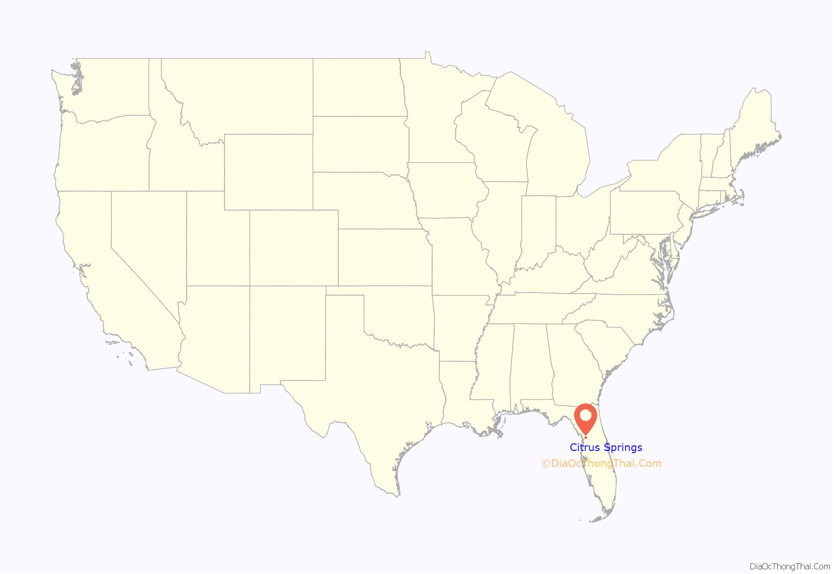
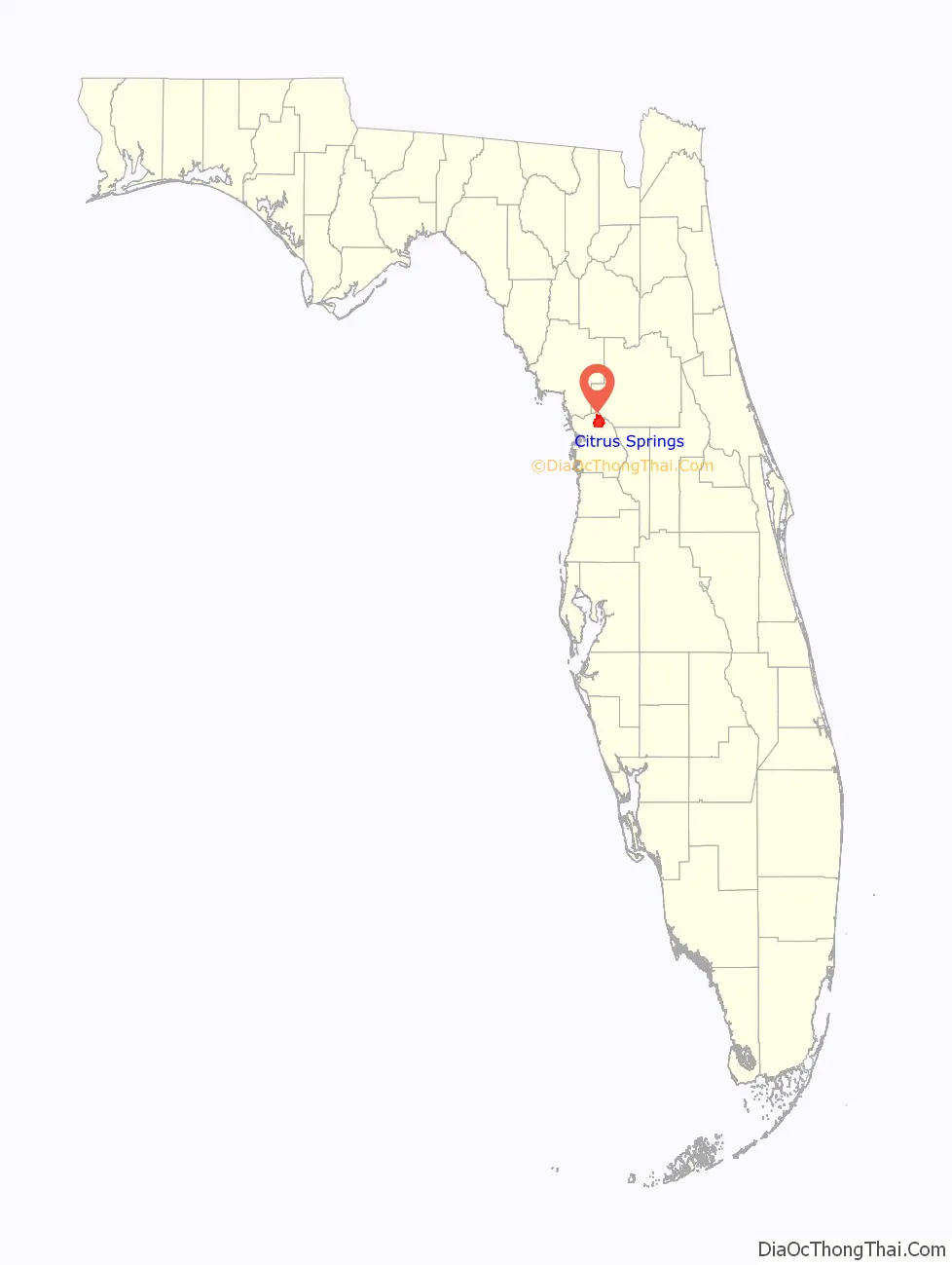
Citrus Springs location map. Where is Citrus Springs CDP?
History
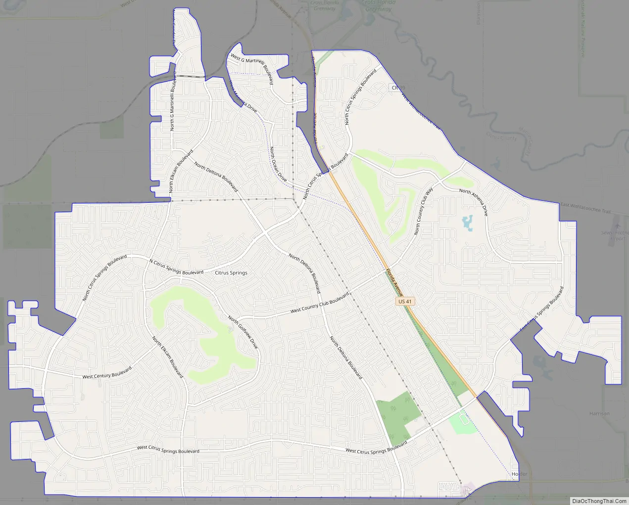
Citrus Springs was developed by the Mackle Brothers, prominent Florida real estate developers working under The Deltona Corporation to be used as a subdivision consisting of over 34,000 homesites. (Elkcam Boulevard, a prominent street in Citrus Springs, is “Mackle” spelled backwards.) The area currently has two elementary schools (Citrus Springs Elementary School and Central Ridge Elementary School, opened fall 2008) and one middle school (Citrus Springs Middle School). There are plans for an 80-acre (320,000 m) high school campus complete with public park, but construction is not planned in the near future.
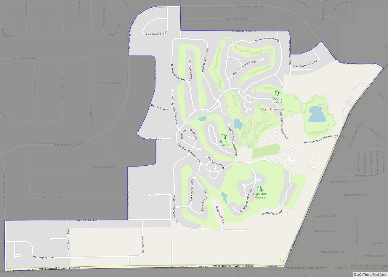
Phosphate mining played a major part in the history of Citrus County until the end of World War II, when phosphate mining largely moved overseas. The first newspaper of Citrus County was called the Phosphate Times. Many abandoned mines exist in the Withlacoochee River basin, with a concentration of those within Citrus Springs. Some of those areas can be seen at one of Citrus Springs’ two golf courses, El Diablo. Many of those mines were part of the Dunnellon Phosphate company, headed by Capt John L. Inglis, a veteran of the Civil War. Areas in northeastern Citrus Springs were part of a proposed but unbuilt portion of the Cross Florida Barge Canal to aid the transportation of the mineral.
The Withlacoochee State Trail, a 46-mile (74 km) bike riding trail which was converted from the railroad lines built in the early 1900s, runs through Citrus Springs, in places parallel to US 41.
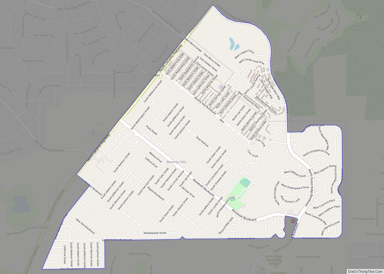
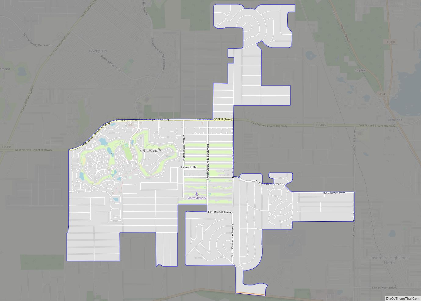
Citrus Springs Road Map
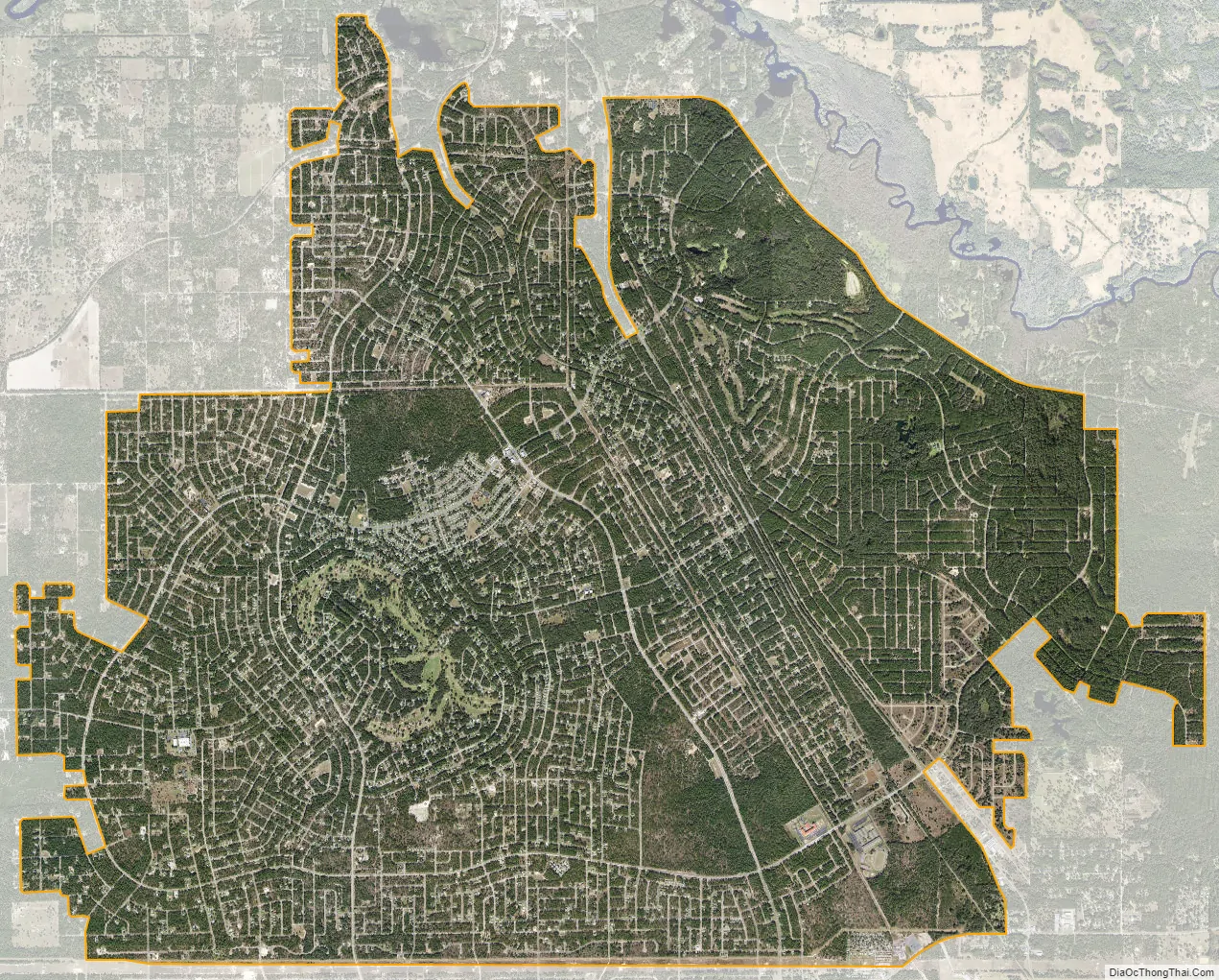
Citrus Springs city Satellite Map
Geography
Citrus Springs is located in northern Citrus County at 28°59′37″N 82°27′42″W / 28.99361°N 82.46167°W / 28.99361; -82.46167 (28.993539, -82.461692). It is bordered by Pine Ridge to the south and Hernando to the east. U.S. Route 41 (North Florida Avenue) runs through the CDP, leading southeast 15 miles (24 km) to Inverness, the Citrus County seat, and north 3 miles (5 km) to Dunnellon in Marion County.
According to the United States Census Bureau, Citrus Springs has a total area of 21.2 square miles (54.8 km); all land.
See also
Map of Florida State and its subdivision:- Alachua
- Baker
- Bay
- Bradford
- Brevard
- Broward
- Calhoun
- Charlotte
- Citrus
- Clay
- Collier
- Columbia
- Desoto
- Dixie
- Duval
- Escambia
- Flagler
- Franklin
- Gadsden
- Gilchrist
- Glades
- Gulf
- Hamilton
- Hardee
- Hendry
- Hernando
- Highlands
- Hillsborough
- Holmes
- Indian River
- Jackson
- Jefferson
- Lafayette
- Lake
- Lee
- Leon
- Levy
- Liberty
- Madison
- Manatee
- Marion
- Martin
- Miami-Dade
- Monroe
- Nassau
- Okaloosa
- Okeechobee
- Orange
- Osceola
- Palm Beach
- Pasco
- Pinellas
- Polk
- Putnam
- Saint Johns
- Saint Lucie
- Santa Rosa
- Sarasota
- Seminole
- Sumter
- Suwannee
- Taylor
- Union
- Volusia
- Wakulla
- Walton
- Washington
- Alabama
- Alaska
- Arizona
- Arkansas
- California
- Colorado
- Connecticut
- Delaware
- District of Columbia
- Florida
- Georgia
- Hawaii
- Idaho
- Illinois
- Indiana
- Iowa
- Kansas
- Kentucky
- Louisiana
- Maine
- Maryland
- Massachusetts
- Michigan
- Minnesota
- Mississippi
- Missouri
- Montana
- Nebraska
- Nevada
- New Hampshire
- New Jersey
- New Mexico
- New York
- North Carolina
- North Dakota
- Ohio
- Oklahoma
- Oregon
- Pennsylvania
- Rhode Island
- South Carolina
- South Dakota
- Tennessee
- Texas
- Utah
- Vermont
- Virginia
- Washington
- West Virginia
- Wisconsin
- Wyoming