Doral is a city in Miami-Dade County, Florida, United States. One of 34 municipalities in the county, it is located 5 miles (8 km) west of Miami International Airport and 13 miles (21 km) west of Downtown Miami. Doral occupies 15 square miles (39 km) bordered on the west by the Ronald Reagan Turnpike and the Florida Everglades, on the north by the town of Medley, on the east by the Palmetto Expressway and on the south by the Dolphin Expressway and the city of Sweetwater. As of the 2020 census, Doral had a population of 75,874, up from 45,704 in 2010.
Doral has operated under the mayor-council-manager form of government since incorporation. Policymaking and legislative authority are vested in a governing council consisting of the mayor and four other councilmembers. The council, which is elected at large, is responsible for passing ordinances and resolutions, adopting the annual budget, and appointing the city manager, city clerk and city attorney. The city manager is responsible for carrying out the council’s policies and ordinances, overseeing the government’s daily operations, and appointing the heads of various departments.
For a city of its size, Doral has many shops, financial institutions and businesses, especially importers and exporters, primarily because of its proximity to the airport. In 2008, Fortune Small Business and CNN Money ranked Doral 51st on a list of 100 cities with the best mix of business advantages and lifestyle appeal. The city was named a 2019 All-America City Award finalist and one of the Best Places to Live in 2018 by Money magazine.
| Name: | Doral city |
|---|---|
| LSAD Code: | 25 |
| LSAD Description: | city (suffix) |
| State: | Florida |
| County: | Miami-Dade County |
| Incorporated: | June 24, 2003 |
| Elevation: | 3 ft (1 m) |
| Total Area: | 15.08 sq mi (39.05 km²) |
| Land Area: | 13.83 sq mi (35.83 km²) |
| Water Area: | 1.24 sq mi (3.22 km²) 3.52% |
| Total Population: | 75,874 |
| Population Density: | 5,484.60/sq mi (2,117.64/km²) |
| Area code: | 305, 786 |
| FIPS code: | 1217935 |
| GNISfeature ID: | 1867137 |
| Website: | www.cityofdoral.com |
Online Interactive Map
Click on ![]() to view map in "full screen" mode.
to view map in "full screen" mode.
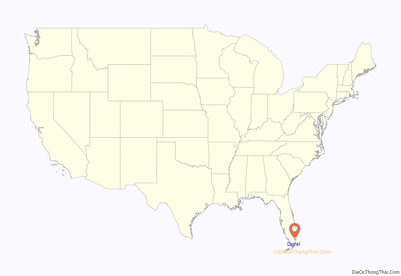
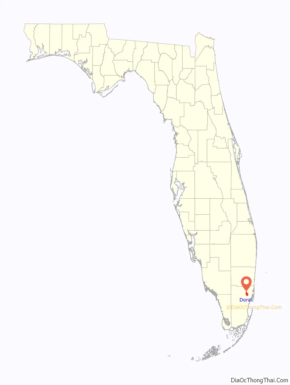
Doral location map. Where is Doral city?
History
In the late 1950s, real estate pioneers Alfred and Doris Kaskel purchased 2,400 acres (9.7 km) of swampland between Northwest 36 Street and Northwest 74 Street and from Northwest 79 Avenue to Northwest 117 Avenue for about $49,000, intending to build a golf course and hotel. In 1962, the Doral Country Club opened in western Dade County, featuring the blue, red, and par-3 golf courses, along with a hotel on Miami Beach. The “Doral” name combined Doris and Alfred. As Doral’s first structure, the Doral Hotel, and Country Club became the area’s hot spot: guests were transported from the beach to the country club for a day on the golf course.
In the second year of operations, the Kaskels hosted the first Doral Open Invitational, Florida’s major PGA event. Alfred offered $50,000 in prize money to attract well-known golfers. According to the South Florida Golf Foundation, at the time, only three other tournaments were held in Florida, offering a combined total of $65,000 prize money.
By the early 1980s, Doral experienced its first residential growth spurt, when Alfred’s and Doris’ grandson Bill developed Doral Estates, followed by a joint venture with Lennar to build Doral Park. Both communities were named after the hotel, a trend that was to be repeated many more times. Although younger families started flooding the area, there were no stores, schools, or parks. Initially, most new homes were investment properties or second homes, but early full-time residents started coming together as a community.
From 1983 to 1985, Miami-Dade County imposed a building moratorium to protect the area’s water wells. Once the ban was lifted, Doral experienced tremendous growth. In 1989, Morgan Levy helped organize the West Dade Federation of Homeowner Associations to stand strong against proposals that threatened the community’s welfare. Thus, they secured a police station instead of a jail and convinced county officials to implement higher development standards and more lighting, roads, and landscaping.
In 1995, residents began lobbying for incorporation in earnest, dissatisfied with the high tax rate relative to the services they received, as well as unchecked growth. The county met the first attempt at incorporation with a year’s deferral. Some classified Doral as a “donor community”, meaning that the taxes paid were more than the cost of operations. With the deferral, incorporation efforts intensified even more. In 1996, the community elected its first community council: Jose “Pepe” Cancio Sr., Mario Pita, and Barbara B. Thomas were elected, and three other members were appointed. The council initially met once every month.
In 2002, Governor Jeb Bush appointed Cancio to fill the remainder of Miami-Dade Commissioner Miriam Alonso’s term of office. Doral residents hoped that his appointment would bring the community closer to incorporation, and their hopes were realized. Although Cancio endorsed Juan Carlos Bermudez, the City of Doral’s first elected Mayor, as his replacement on the Community Council, Bermudez declined the offer, ran for the seat, and was elected. At the time, Bermudez was president of One Doral, a civic organization formed to counteract the perceived influence of the West Dade Federation on the new Council. However, both One Doral and the West Dade Federation proved essential to the incorporation process.
In January 2003, following a seven-year battle, 85% of Doral’s voters voted in favor of incorporation. In June of the same year, 92% voted to accept the City Charter and elected their first Mayor and City Council.
The new City of Doral was named as an attractive location for entrepreneurs with an interest in the Latin America market. Mayor Luigi Boria, elected in November 2012, became the second Venezuelan-American mayor in the United States. He was replaced by Juan Carlos Bermudez who won a reelection bid in 2016. Mayor Bermudez was again reelected in November 2020 with 69.85% of votes for four more years to lead the community.
On December 13, 2022, during a run-off election, Doral voters made history by electing Doral’s first female Mayor, Christi Fraga, with 54.5% of the votes.
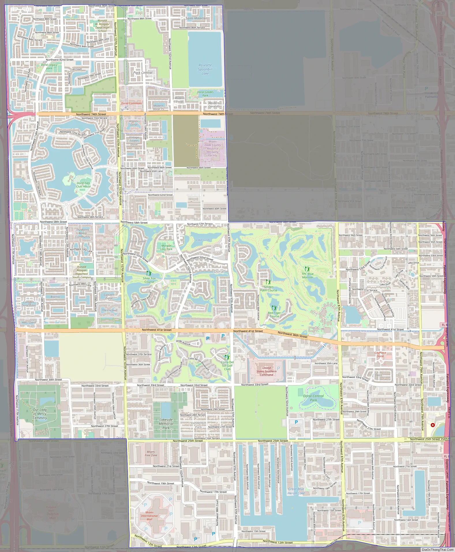
Doral Road Map
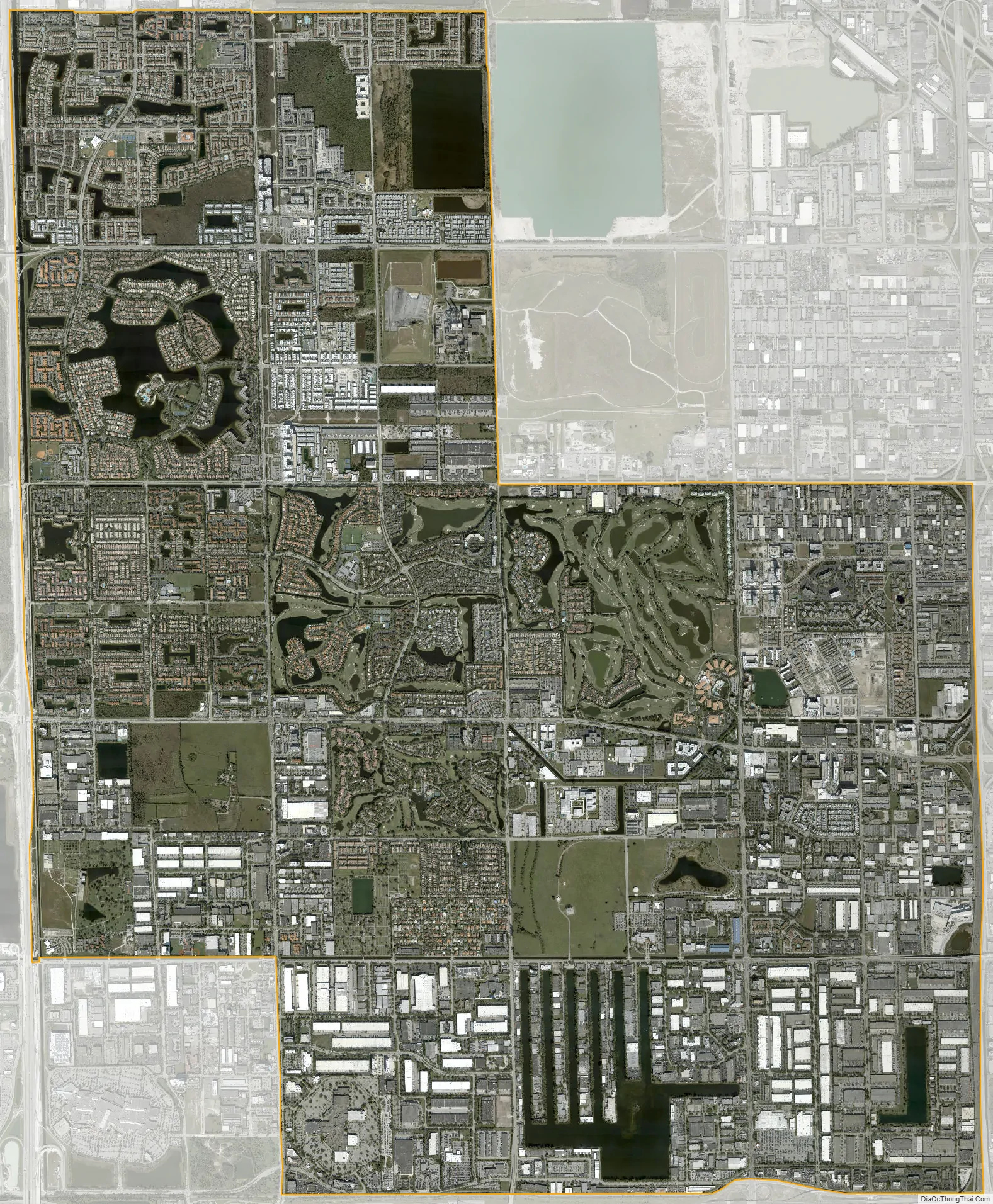
Doral city Satellite Map
Geography
Doral is located at 25°48′29″N 80°21′12″W / 25.808145°N 80.353322°W / 25.808145; -80.353322.
According to the United States Census Bureau, the city has a total area of 15.08 square miles (39.1 km). 13.85 square miles (35.9 km) of it are land and 1.23 square miles (3.2 km) of it (8.14%) are water.
Surrounding areas
Climate
According to the Köppen climate classification, Doral has a tropical monsoon climate (Am) bordering a tropical savanna climate (Aw).
Doral has hot-humid summers with the heat index regularly surpassing 100 °F (37°C) and higher. The rainy season in Doral runs from May through October when the majority of the city’s rainfall occurs. Winters are short, dry, and warm with occasional dips in temperatures during the passage of cold fronts.
See also
Map of Florida State and its subdivision:- Alachua
- Baker
- Bay
- Bradford
- Brevard
- Broward
- Calhoun
- Charlotte
- Citrus
- Clay
- Collier
- Columbia
- Desoto
- Dixie
- Duval
- Escambia
- Flagler
- Franklin
- Gadsden
- Gilchrist
- Glades
- Gulf
- Hamilton
- Hardee
- Hendry
- Hernando
- Highlands
- Hillsborough
- Holmes
- Indian River
- Jackson
- Jefferson
- Lafayette
- Lake
- Lee
- Leon
- Levy
- Liberty
- Madison
- Manatee
- Marion
- Martin
- Miami-Dade
- Monroe
- Nassau
- Okaloosa
- Okeechobee
- Orange
- Osceola
- Palm Beach
- Pasco
- Pinellas
- Polk
- Putnam
- Saint Johns
- Saint Lucie
- Santa Rosa
- Sarasota
- Seminole
- Sumter
- Suwannee
- Taylor
- Union
- Volusia
- Wakulla
- Walton
- Washington
- Alabama
- Alaska
- Arizona
- Arkansas
- California
- Colorado
- Connecticut
- Delaware
- District of Columbia
- Florida
- Georgia
- Hawaii
- Idaho
- Illinois
- Indiana
- Iowa
- Kansas
- Kentucky
- Louisiana
- Maine
- Maryland
- Massachusetts
- Michigan
- Minnesota
- Mississippi
- Missouri
- Montana
- Nebraska
- Nevada
- New Hampshire
- New Jersey
- New Mexico
- New York
- North Carolina
- North Dakota
- Ohio
- Oklahoma
- Oregon
- Pennsylvania
- Rhode Island
- South Carolina
- South Dakota
- Tennessee
- Texas
- Utah
- Vermont
- Virginia
- Washington
- West Virginia
- Wisconsin
- Wyoming


