Dundee is a town in Polk County, Florida, United States. The population was 3,717 at the 2010 census. It is part of the Lakeland–Winter Haven Metropolitan Statistical Area.
| Name: | Dundee town |
|---|---|
| LSAD Code: | 43 |
| LSAD Description: | town (suffix) |
| State: | Florida |
| County: | Polk County |
| Incorporated: | 1924 |
| Elevation: | 213 ft (65 m) |
| Total Area: | 12.13 sq mi (31.41 km²) |
| Land Area: | 10.78 sq mi (27.91 km²) |
| Water Area: | 1.35 sq mi (3.50 km²) |
| Total Population: | 5,235 |
| Population Density: | 485.76/sq mi (187.55/km²) |
| ZIP code: | 33838 |
| Area code: | 863 |
| FIPS code: | 1218550 |
| GNISfeature ID: | 2406406 |
| Website: | http://www.townofdundee.com |
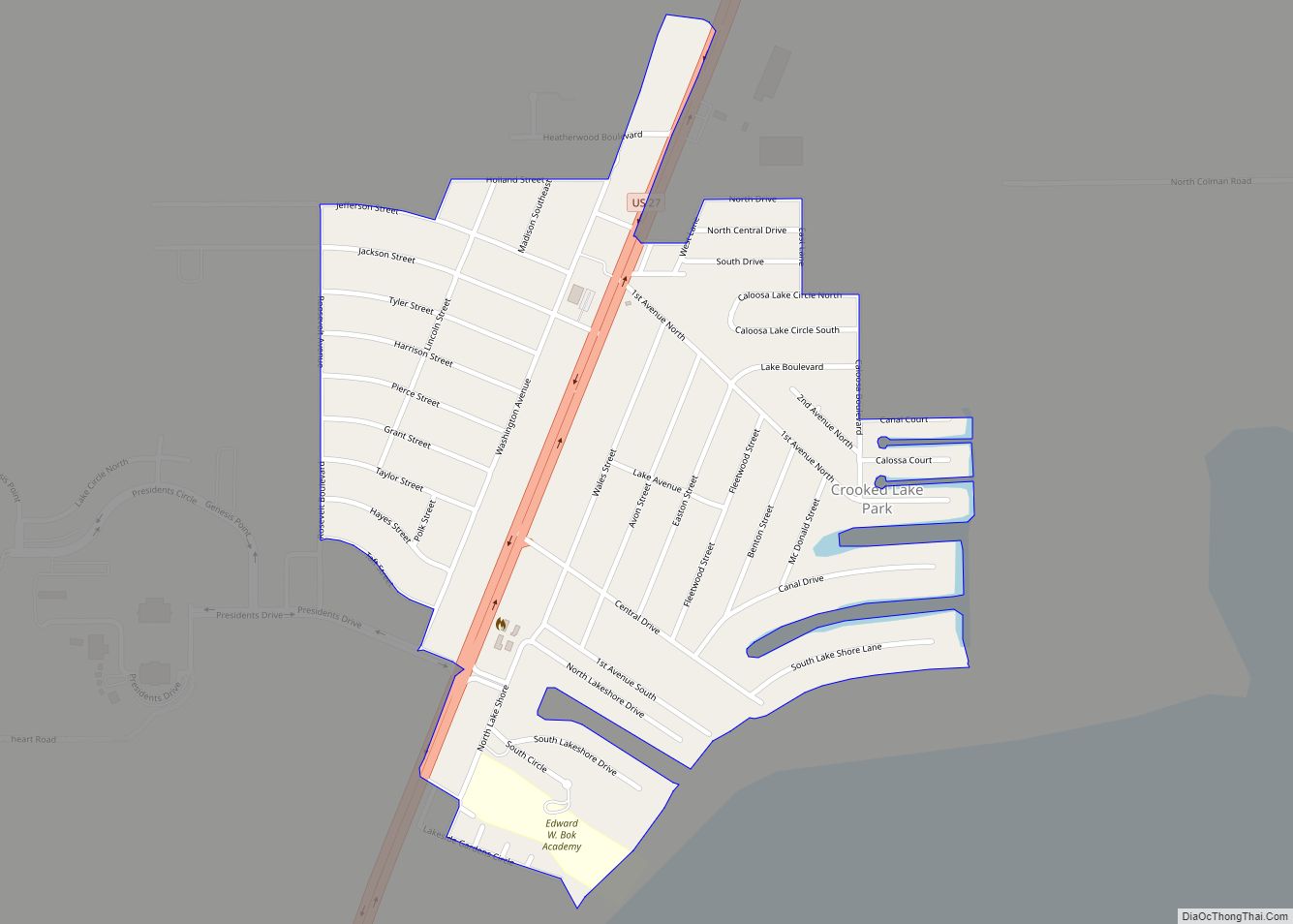
Online Interactive Map
Click on ![]() to view map in "full screen" mode.
to view map in "full screen" mode.
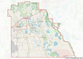
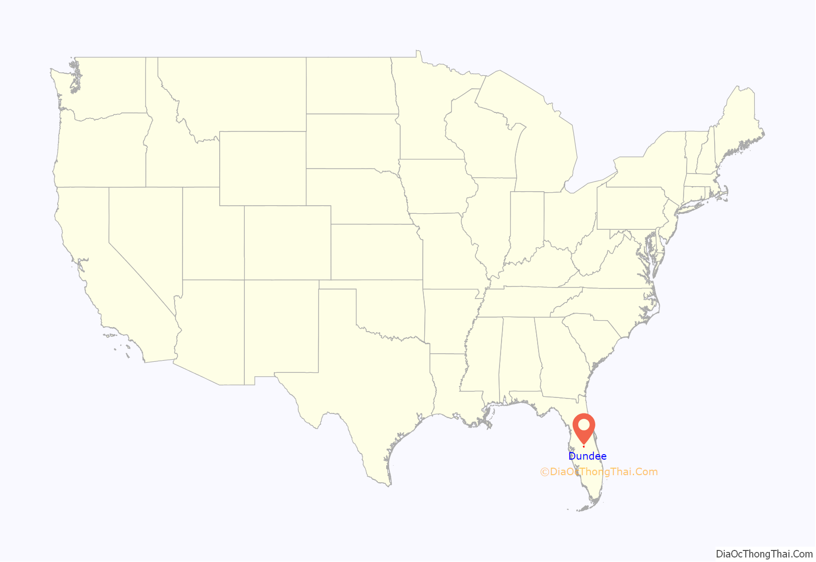
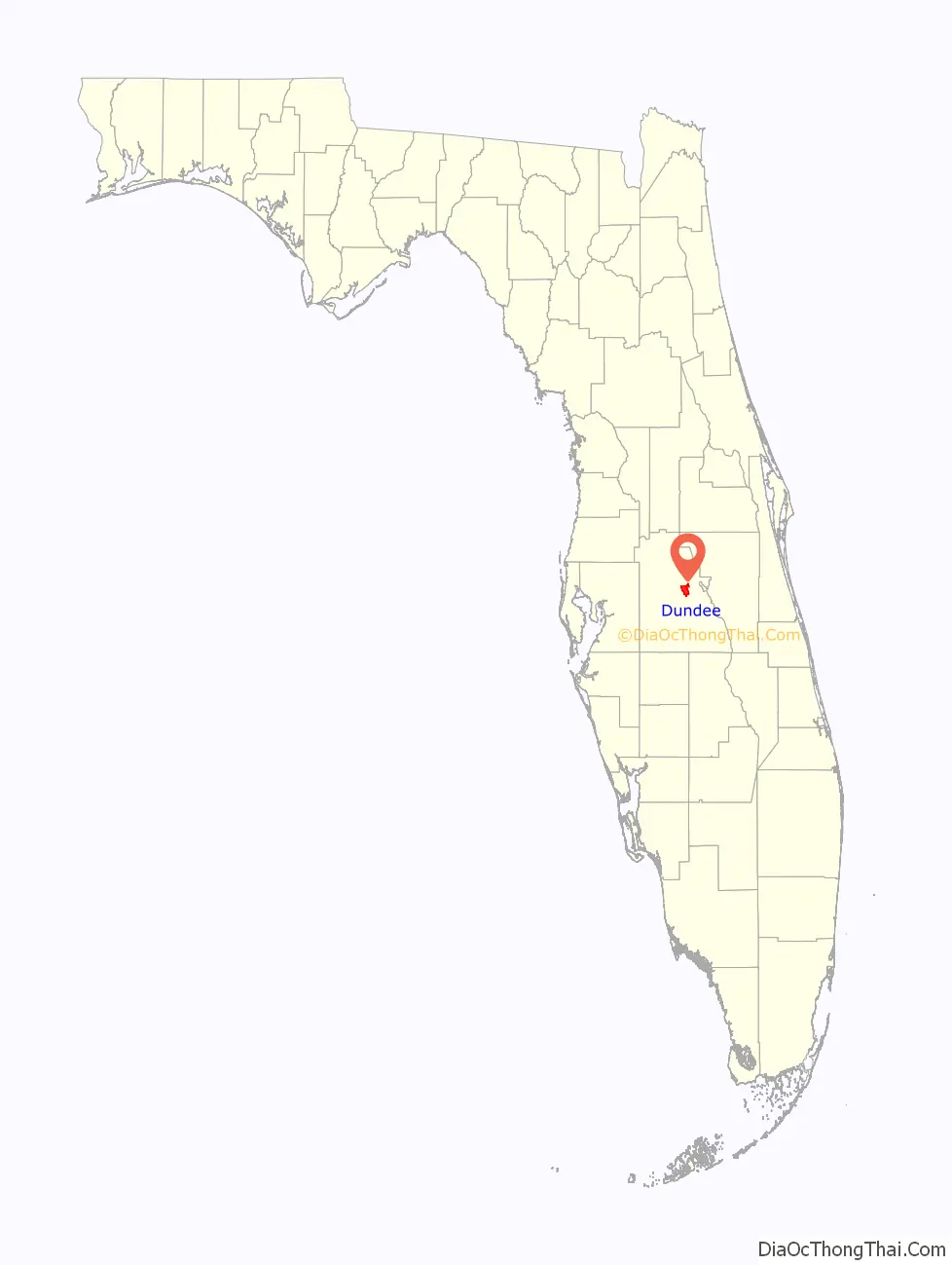
Dundee location map. Where is Dundee town?
History
A post office called Dundee has been in operation since 1912. The town was named after Dundee, in Scotland. Dundee was incorporated as a town in 1925.
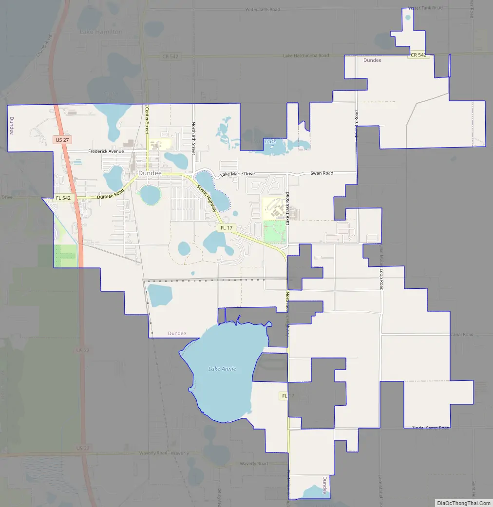
Dundee Road Map
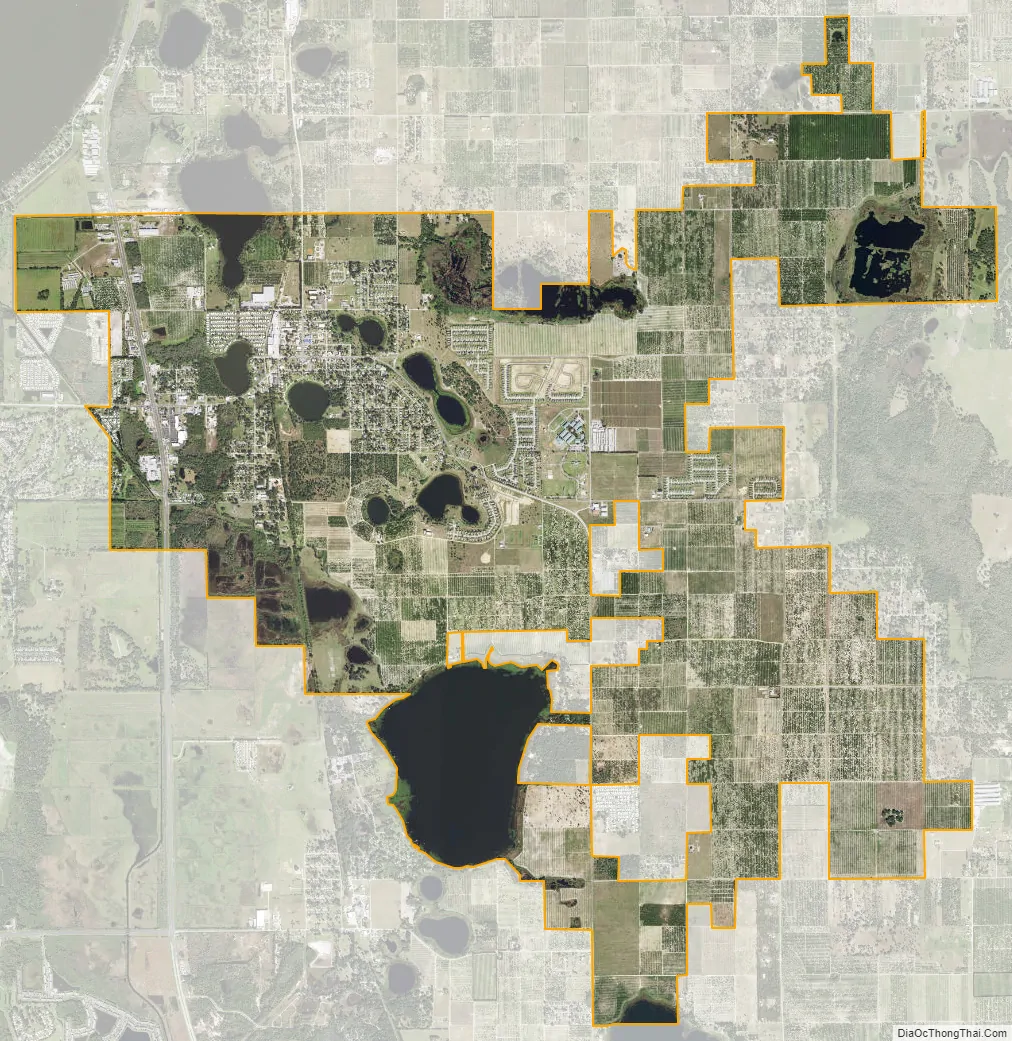
Dundee city Satellite Map
Geography
According to the United States Census Bureau, the town has a total area of 4.3 square miles (11 km), of which 3.9 square miles (10 km) is land and 0.4 square miles (1.0 km) (8.82%) is water.
Dundee is located in the humid subtropical zone under (Köppen climate classification: Cfa).
See also
Map of Florida State and its subdivision:- Alachua
- Baker
- Bay
- Bradford
- Brevard
- Broward
- Calhoun
- Charlotte
- Citrus
- Clay
- Collier
- Columbia
- Desoto
- Dixie
- Duval
- Escambia
- Flagler
- Franklin
- Gadsden
- Gilchrist
- Glades
- Gulf
- Hamilton
- Hardee
- Hendry
- Hernando
- Highlands
- Hillsborough
- Holmes
- Indian River
- Jackson
- Jefferson
- Lafayette
- Lake
- Lee
- Leon
- Levy
- Liberty
- Madison
- Manatee
- Marion
- Martin
- Miami-Dade
- Monroe
- Nassau
- Okaloosa
- Okeechobee
- Orange
- Osceola
- Palm Beach
- Pasco
- Pinellas
- Polk
- Putnam
- Saint Johns
- Saint Lucie
- Santa Rosa
- Sarasota
- Seminole
- Sumter
- Suwannee
- Taylor
- Union
- Volusia
- Wakulla
- Walton
- Washington
- Alabama
- Alaska
- Arizona
- Arkansas
- California
- Colorado
- Connecticut
- Delaware
- District of Columbia
- Florida
- Georgia
- Hawaii
- Idaho
- Illinois
- Indiana
- Iowa
- Kansas
- Kentucky
- Louisiana
- Maine
- Maryland
- Massachusetts
- Michigan
- Minnesota
- Mississippi
- Missouri
- Montana
- Nebraska
- Nevada
- New Hampshire
- New Jersey
- New Mexico
- New York
- North Carolina
- North Dakota
- Ohio
- Oklahoma
- Oregon
- Pennsylvania
- Rhode Island
- South Carolina
- South Dakota
- Tennessee
- Texas
- Utah
- Vermont
- Virginia
- Washington
- West Virginia
- Wisconsin
- Wyoming