Winter Haven is a city in Polk County, Florida, United States. It is fifty-one miles east of Tampa. The population was 49,219 at the 2020 census. According to the U.S. Census Bureau’s 2019 estimates, this city had a population of 44,955, making it the second most populated city in Polk County. It is a principal city of the Lakeland-Winter Haven, Florida Metropolitan Statistical Area.
| Name: | Winter Haven city |
|---|---|
| LSAD Code: | 25 |
| LSAD Description: | city (suffix) |
| State: | Florida |
| County: | Polk County |
| Incorporated: | November 27, 1923 |
| Elevation: | 161 ft (49 m) |
| Land Area: | 32.84 sq mi (85.05 km²) |
| Water Area: | 8.68 sq mi (22.47 km²) |
| Population Density: | 1,498.75/sq mi (578.68/km²) |
| Area code: | 863 |
| FIPS code: | 1278275 |
| GNISfeature ID: | 2405773 |
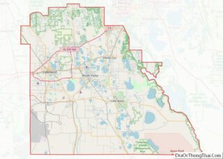
Online Interactive Map
Click on ![]() to view map in "full screen" mode.
to view map in "full screen" mode.
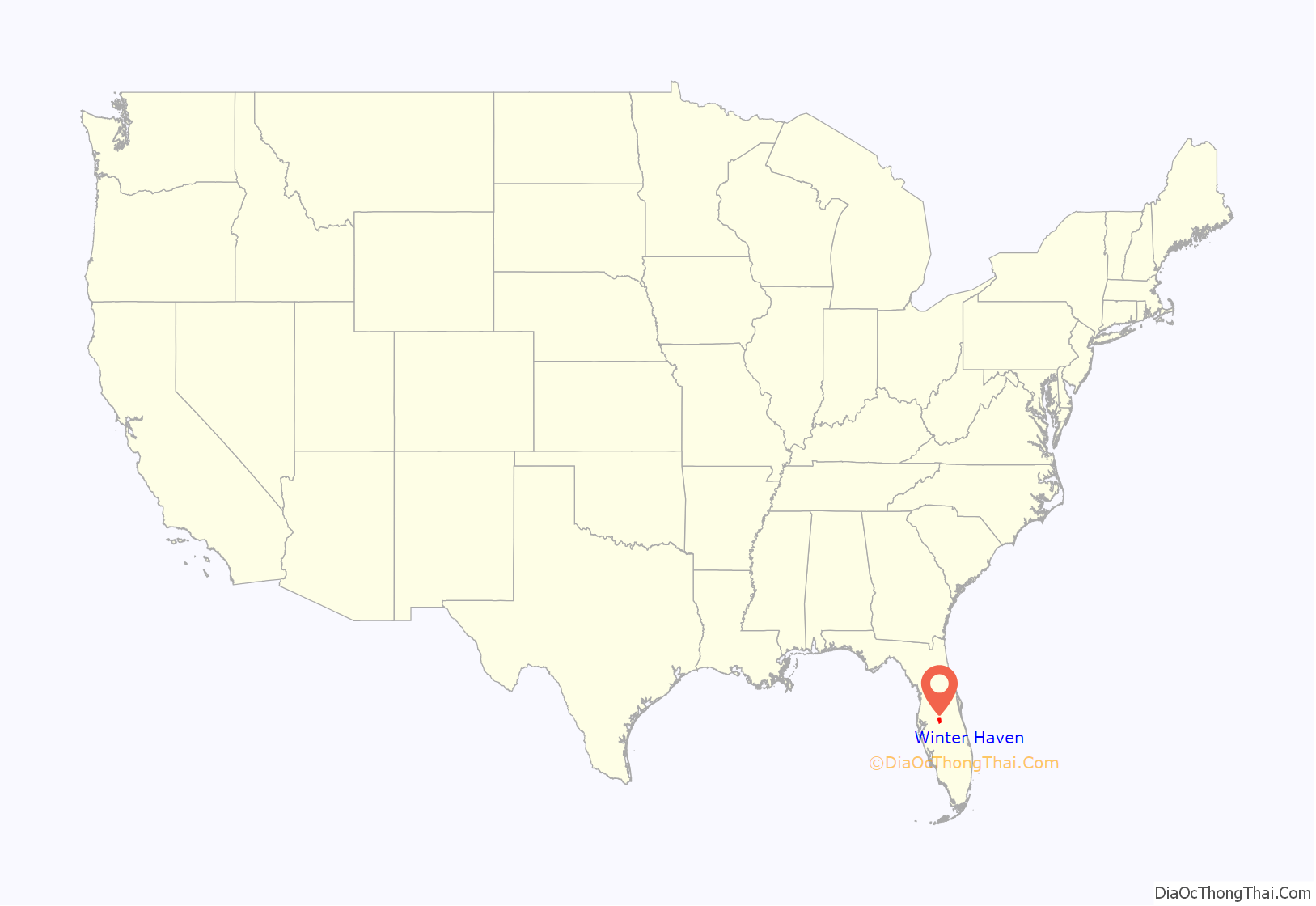
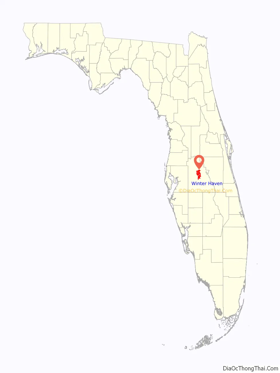
Winter Haven location map. Where is Winter Haven city?
History
Pre-history
The Timucua and the Calusa were the earliest known inhabitants of the land that would become Winter Haven. Both of these groups were deeply affected by war and disease from the Spanish conquest of Florida in the early 1500s. The Timucua were particularly affected by the expedition of Hernando de Soto. By the 19th century, both these groups no longer existed. During these expeditions the Spanish explorers claimed the entire peninsula of Florida for the Spanish monarchy
In the 19th century the Creek and the Seminole were known to live and hunt in this area. During the Seminole Wars the Seminole leader, Chipco, and his followers were known to live in the Winter Haven area. Several small skirmishes during the war were fought in and around Winter Haven.
19th century
In 1819, after the signing of the Adams-Onís Treaty, the United States gained control of Florida. The first American or European settlers in the area were encouraged to settle there by the Armed Occupation Act of 1842.
During the 1840s and 1850s, the United States government conducted the first surveys of the area. Henry Washington conducted the first survey of the area in 1843. In 1849, Dr. John Westcott completed an extensive survey of the area, including mapping many of the local lakes. The first maps of the area were published by the United States government in 1854. In 1883, Henry Haines working for Henry Plant and the Plant System, successfully built the first railroad across Polk County, passing just north of Winter Haven. Lake Haines, in Winter Haven, was named after Haines, who served as a colonel in the Confederate States Army.
The arrival of the railroad created the first real growth in area. The area was platted in 1884 and would first be known as Harris Corners. This name was in reference to F.A.K. Harris, who opened the first mercantile store in the area around this time. The name Winter Haven was later suggested, in reference to the area’s pleasant climate.
Early 20th century
By the end of the century, the population grew to approximately 400 and in 1911, the City of Winter Haven was incorporated. The Chain of Lakes canals were begun in 1915. The first Florida boom took place in the 1920s as towns sprang up all over the peninsula. Florida’s potential as a place to live and a place to visit was first realized in the 1920s, but the Great Depression slowed growth until after World War II. Winter Haven Hospital was founded in 1926 and has been in the city ever since.
During this period, the population of Winter Haven began to grow substantially. Many beautiful single-family homes were built in Winter Haven at this time in the colonial revival style. Over 50 these homes are on the National Register of Historic Places today. They are noted for their architectural style and grace. Most of these historic homes are located in the Interlaken neighborhood. There are four historic districts in Winter Haven. They are Interlaken, Pope Avenue, Winter Haven Heights, and the downtown area.
Growth and development
In 1930, George W. Jenkins opened the first Publix supermarket in Winter Haven. His second store and the first stand-alone Publix store, was a 27 ft by 65 ft building at 199 West Central Avenue, opened in 1935, which exists today as the Regenerations thrift store. During the 1930s and 1940s, citrus magnate, John A. Snively operated one of the largest fruit packing plants in the world in Winter Haven.
Another defining event in Winter Haven was the opening of Cypress Gardens in 1936 by Dick Pope Sr. and his wife, Julie Pope. They first got the idea for the park from a Good Housekeeping magazine that they were reading. By the 1950s, Cypress Gardens was nationally famous. It featured a beautiful botanical garden, water skiing shows, and a staff of southern belles. Many famous celebrities of that time visited the park, including Elvis Presley, Frank Sinatra, Betty Grable, and King Hussein of Jordan. In the 1980s, the Anheuser-Busch corporation purchased the park. They continued to operate the park until 1995. After that, the park struggled, finally closing for good in 2009. On January 21, 2010, the site of Cypress Gardens was formally announced as the selected location for the Legoland Florida theme park, which opened on October 15, 2011. Legoland Florida has successfully retained some of the tradition and history of the original site, including part of the original botanical garden and a water ski show.
Winter Haven features many buildings designed by the architect Gene Leedy, one of the founders of the Sarasota School of Architecture. Regency Medical Center, which is Winter Haven Hospital’s women’s hospital, was built in 1987. Some of Leedy’s structures are part of the Downtown Winter Haven Historic District.
The Orange Dome, located near the corner of Cypress Gardens Blvd and US Hwy 17, was built in 1964. For 48 years, it hosted the annual Citrus Festival and other civic affairs. In February 2012, the Orange Dome was demolished to make way for The Landings, a proposed $150 million mixed-use development that was intended to include high-end retail stores, restaurants, hotels, apartments and a new movie theater to be built at the Chain of Lakes Complex. However, after the construction of three fast food chain stores, the project collapsed. As of April 2013, the developer and the city were in negotiations to determine the future of the site.
Pughsville
Pughsville was a neighborhood of Winter Haven where African Americans built a community after the Civil War. A historical marker on Highway 17 at Avenue O commemorates the community. According to the marker, Pughsville was one of Winter Haven’s earliest neighborhoods and was settled by African Americans who cleared the land in the southwest section of the city.
Pughsville was named for an early black pioneer, Reverend Charles Pugh, who was a founder of one of Zion Hill Missionary Baptist Church. Pughsville was also home to Bethel A.M.E., St. Paul Holiness, and Church of Christ. The community was most active from the 1900s until the 1950s and had an African-American school, social halls, small grocery stores, and restaurants where some residents worked. Others worked in the citrus industry or in state or federal jobs. Pughsville produced Winter Haven’s first African-American commissioner and mayor Lemuel Geathers, medical doctor, fire fighter and postal worker. The community declined in the late 1970s as larger commercial establishments began arriving in the area.
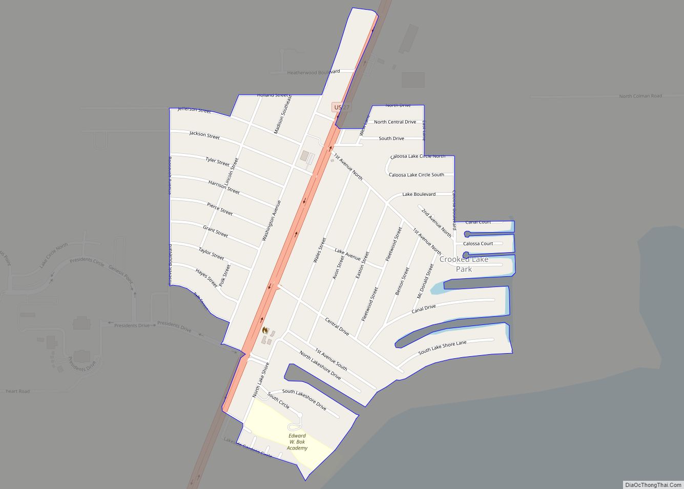
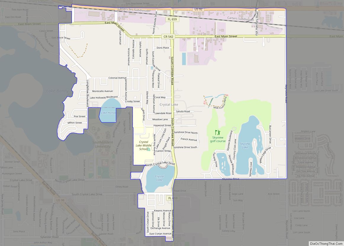
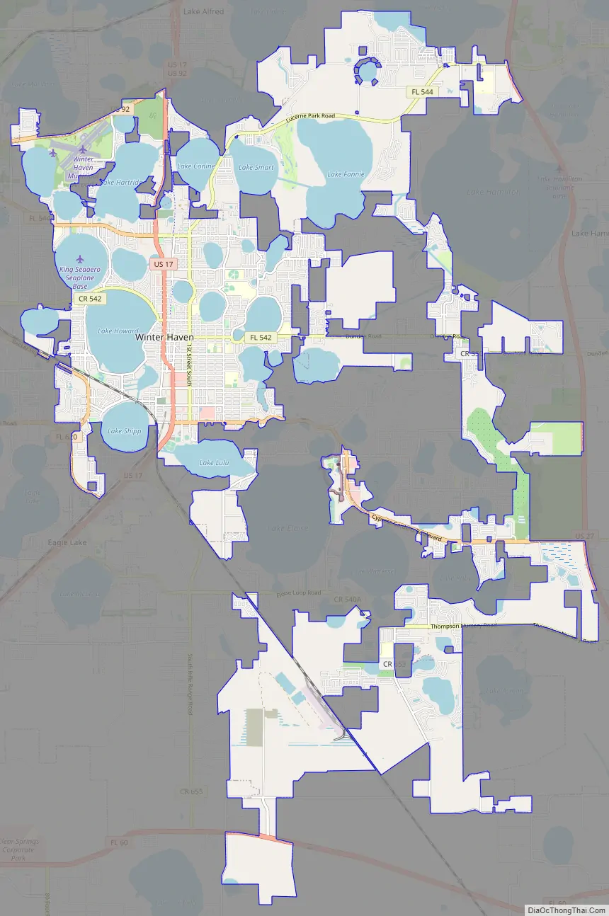
Winter Haven Road Map
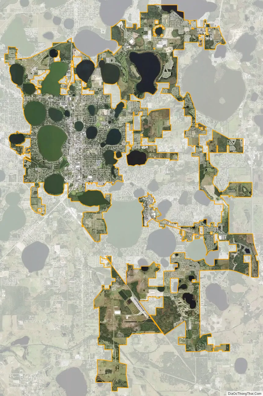
Winter Haven city Satellite Map
Geography
According to the United States Census Bureau, the city has a total area of 25.4 square miles (66 km), of which 17.7 square miles (46 km) is land and 7.7 square miles (20 km) (30.45%) is water. Winter Haven is located within the Central Florida Highlands area of the Atlantic coastal plain with a terrain consisting of flatland interspersed with gently rolling hills. It has an average elevation of 146 feet (45 m) above sea-level. The city is located at the headwaters of the Peace River.
Lakes
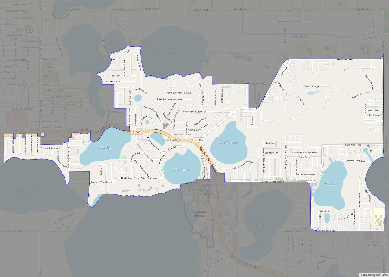
Winter Haven has 50 lakes within its borders, including its famous Chain of Lakes. The lakes are by far the city’s most distinctive feature. Winter Haven bills itself as “The Chain of Lakes City”. The city has two prominent chains of lakes; the northern chain has nine lakes interconnected by a series of canals. The southern chain features sixteen lakes interconnected by a series of canals. The southern chain has several prominent lakes, including Lake Eloise, Lake Howard, and Lake Lulu. In 2011, after six years of construction and political infighting, Winter Haven opened a canal lock system connecting the two chains. Most of the lakes in Winter Haven formed in a similar fashion to sinkholes, through dissolving of the limestone ground. These types of lakes are called “solution lakes”. The lakes in Winter Haven teem with life, including alligators, bald eagles, great blue herons, and more. The Winter Haven lakes are a world-renowned spot for bass fishing.
Climate
Winter Haven is located in the humid subtropical zone (Köppen climate classification: Cfa). The average temperature is 74.6 °F (24 °C). The city averages 46.12 inches (1,171 mm) of rain per year. The months of June, July, August, and September, which includes the height of the Atlantic hurricane season, are by far the rainiest time of the year. Those four months, which average 26.63 inches (67.6 cm) of rain, account for more than half of the annual rainfall. Winters in Winter Haven are dry and sunny, with high temperatures of 72–76 °F (22–24 °C) and lows of 51–55 °F (11–13 °C). Frost occur about once per year on average.
See also
Map of Florida State and its subdivision:- Alachua
- Baker
- Bay
- Bradford
- Brevard
- Broward
- Calhoun
- Charlotte
- Citrus
- Clay
- Collier
- Columbia
- Desoto
- Dixie
- Duval
- Escambia
- Flagler
- Franklin
- Gadsden
- Gilchrist
- Glades
- Gulf
- Hamilton
- Hardee
- Hendry
- Hernando
- Highlands
- Hillsborough
- Holmes
- Indian River
- Jackson
- Jefferson
- Lafayette
- Lake
- Lee
- Leon
- Levy
- Liberty
- Madison
- Manatee
- Marion
- Martin
- Miami-Dade
- Monroe
- Nassau
- Okaloosa
- Okeechobee
- Orange
- Osceola
- Palm Beach
- Pasco
- Pinellas
- Polk
- Putnam
- Saint Johns
- Saint Lucie
- Santa Rosa
- Sarasota
- Seminole
- Sumter
- Suwannee
- Taylor
- Union
- Volusia
- Wakulla
- Walton
- Washington
- Alabama
- Alaska
- Arizona
- Arkansas
- California
- Colorado
- Connecticut
- Delaware
- District of Columbia
- Florida
- Georgia
- Hawaii
- Idaho
- Illinois
- Indiana
- Iowa
- Kansas
- Kentucky
- Louisiana
- Maine
- Maryland
- Massachusetts
- Michigan
- Minnesota
- Mississippi
- Missouri
- Montana
- Nebraska
- Nevada
- New Hampshire
- New Jersey
- New Mexico
- New York
- North Carolina
- North Dakota
- Ohio
- Oklahoma
- Oregon
- Pennsylvania
- Rhode Island
- South Carolina
- South Dakota
- Tennessee
- Texas
- Utah
- Vermont
- Virginia
- Washington
- West Virginia
- Wisconsin
- Wyoming