East Lake is a census-designated place (CDP) in Pinellas County, Florida, United States. The population was 30,962 at the 2010 census. It was one of the last areas in the densely populated county to develop. It is often confused with East Lake in neighboring Hillsborough County.
| Name: | East Lake CDP |
|---|---|
| LSAD Code: | 57 |
| LSAD Description: | CDP (suffix) |
| State: | Florida |
| County: | Pinellas County |
| Total Area: | 31.6 sq mi (81.8 km²) |
| Land Area: | 28.9 sq mi (74.9 km²) |
| Water Area: | 2.7 sq mi (7.0 km²) |
| Total Population: | 30,962 |
| Population Density: | 980/sq mi (380/km²) |
| FIPS code: | 1219206 |
Online Interactive Map
Click on ![]() to view map in "full screen" mode.
to view map in "full screen" mode.
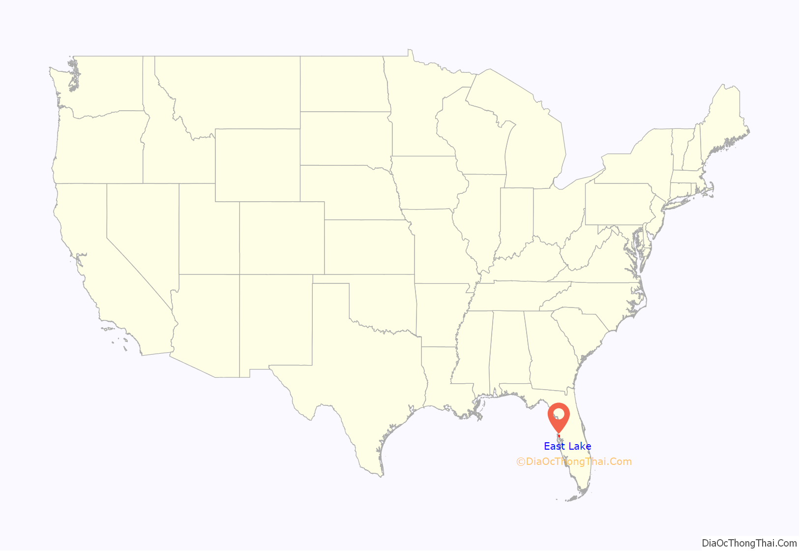
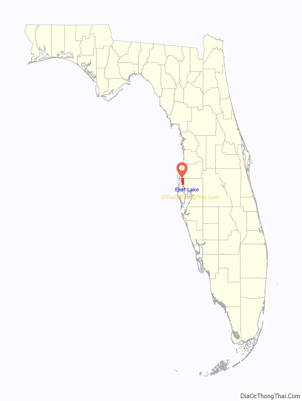
East Lake location map. Where is East Lake CDP?
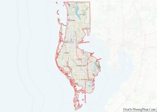
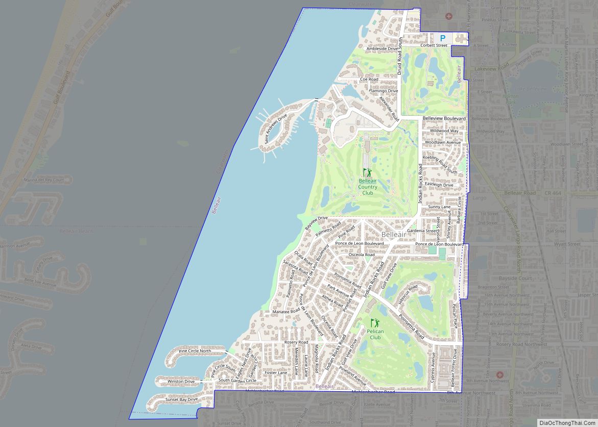
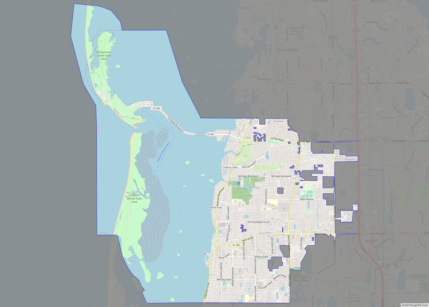
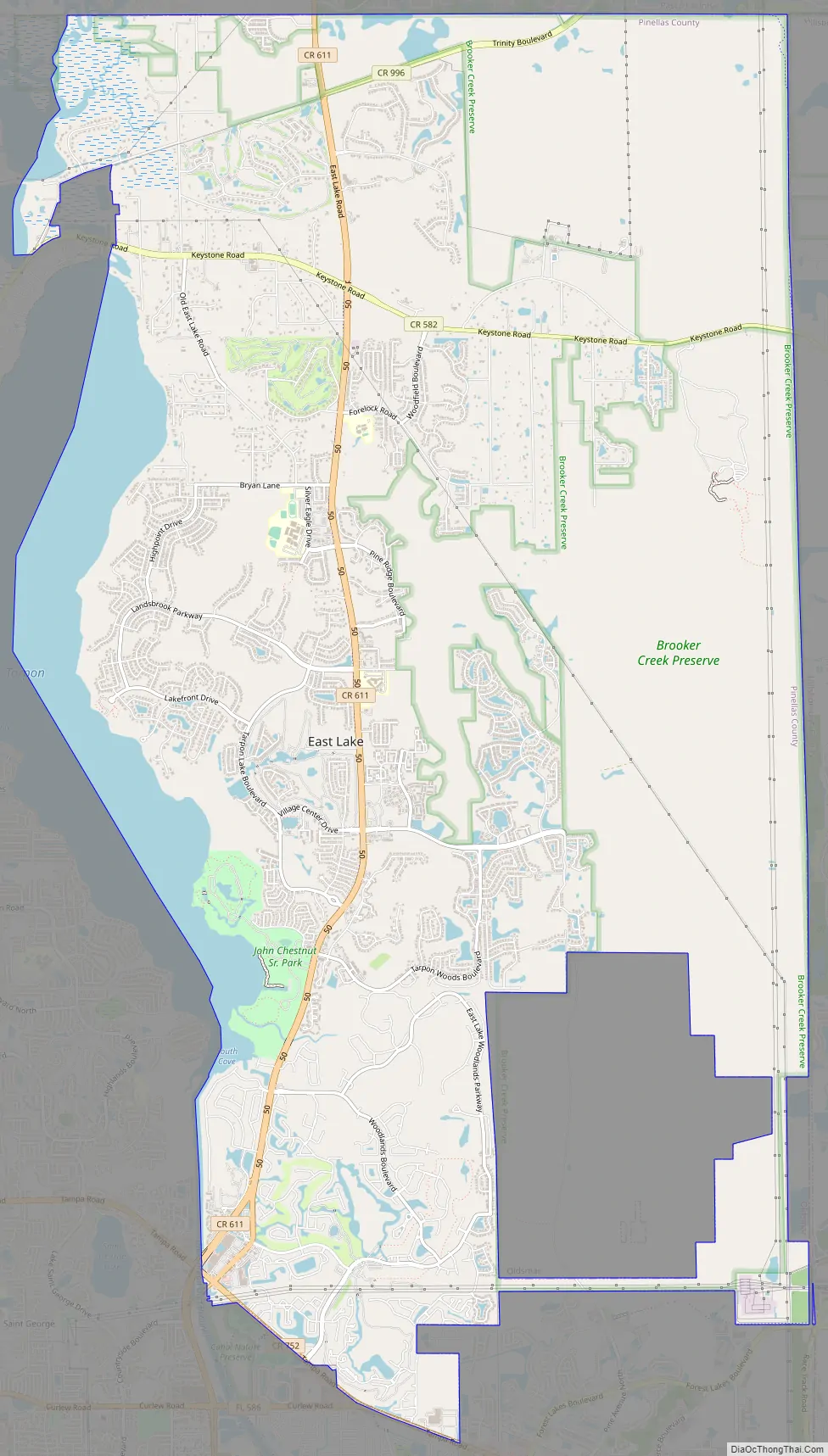
East Lake Road Map
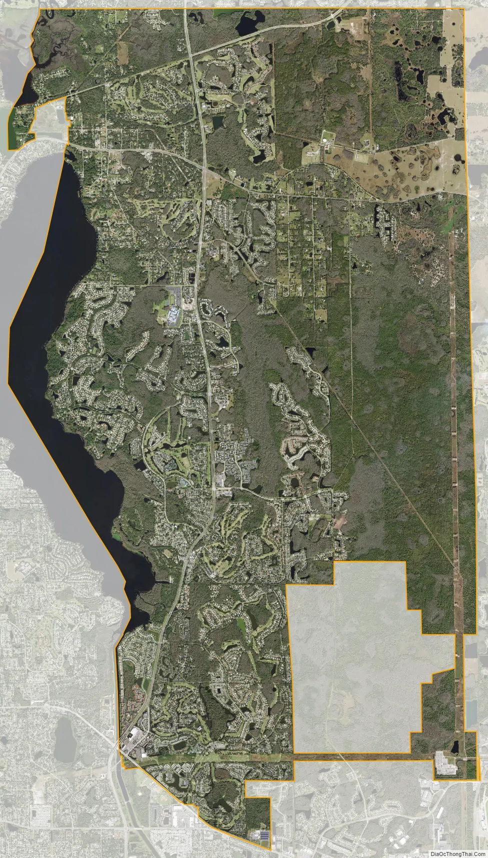
East Lake city Satellite Map
Geography
East Lake is located at 28°6′0″N 82°41′50″W / 28.10000°N 82.69722°W / 28.10000; -82.69722 (28.099957, -82.697220). The unincorporated community is located just north of Oldsmar and east of Palm Harbor and Tarpon Springs.
According to the United States Census Bureau, the CDP has a total area of 31.6 square miles (81.8 km), of which 28.9 square miles (74.9 km) is land and 2.7 square miles (7.0 km) (8.50%) is water.
The closest beach is Honeymoon Island State Park. The closest county park is John Chesnut Sr. County Park. It covers approximately 255 acres (1.03 km) adjacent to Lake Tarpon.
See also
Map of Florida State and its subdivision:- Alachua
- Baker
- Bay
- Bradford
- Brevard
- Broward
- Calhoun
- Charlotte
- Citrus
- Clay
- Collier
- Columbia
- Desoto
- Dixie
- Duval
- Escambia
- Flagler
- Franklin
- Gadsden
- Gilchrist
- Glades
- Gulf
- Hamilton
- Hardee
- Hendry
- Hernando
- Highlands
- Hillsborough
- Holmes
- Indian River
- Jackson
- Jefferson
- Lafayette
- Lake
- Lee
- Leon
- Levy
- Liberty
- Madison
- Manatee
- Marion
- Martin
- Miami-Dade
- Monroe
- Nassau
- Okaloosa
- Okeechobee
- Orange
- Osceola
- Palm Beach
- Pasco
- Pinellas
- Polk
- Putnam
- Saint Johns
- Saint Lucie
- Santa Rosa
- Sarasota
- Seminole
- Sumter
- Suwannee
- Taylor
- Union
- Volusia
- Wakulla
- Walton
- Washington
- Alabama
- Alaska
- Arizona
- Arkansas
- California
- Colorado
- Connecticut
- Delaware
- District of Columbia
- Florida
- Georgia
- Hawaii
- Idaho
- Illinois
- Indiana
- Iowa
- Kansas
- Kentucky
- Louisiana
- Maine
- Maryland
- Massachusetts
- Michigan
- Minnesota
- Mississippi
- Missouri
- Montana
- Nebraska
- Nevada
- New Hampshire
- New Jersey
- New Mexico
- New York
- North Carolina
- North Dakota
- Ohio
- Oklahoma
- Oregon
- Pennsylvania
- Rhode Island
- South Carolina
- South Dakota
- Tennessee
- Texas
- Utah
- Vermont
- Virginia
- Washington
- West Virginia
- Wisconsin
- Wyoming