El Portal is a village in Miami-Dade County, Florida, United States. The name is derived from the Spanish term for “the gate”, after two wooden gates that once stood as a gateway to the village. El Portal was originally annexed into the city of Miami in 1925. With the arrival of the Great Depression, Miami gave up its jurisdiction, and El Portal was incorporated as its own village in 1937. As of the 2020 census, the population of El Portal was 1,986, down from 2,325 in 2010.
| Name: | El Portal village |
|---|---|
| LSAD Code: | 47 |
| LSAD Description: | village (suffix) |
| State: | Florida |
| County: | Miami-Dade County |
| Incorporated: | December 6, 1937 |
| Elevation: | 7 ft (2 m) |
| Total Area: | 0.42 sq mi (1.09 km²) |
| Land Area: | 0.42 sq mi (1.08 km²) |
| Water Area: | 0.01 sq mi (0.01 km²) |
| Population Density: | 4,774.04/sq mi (1,844.35/km²) |
| Area code: | 305, 786 |
| FIPS code: | 1220650 |
| GNISfeature ID: | 0282132 |
| Website: | www.elportalvillage.com |
Online Interactive Map
Click on ![]() to view map in "full screen" mode.
to view map in "full screen" mode.
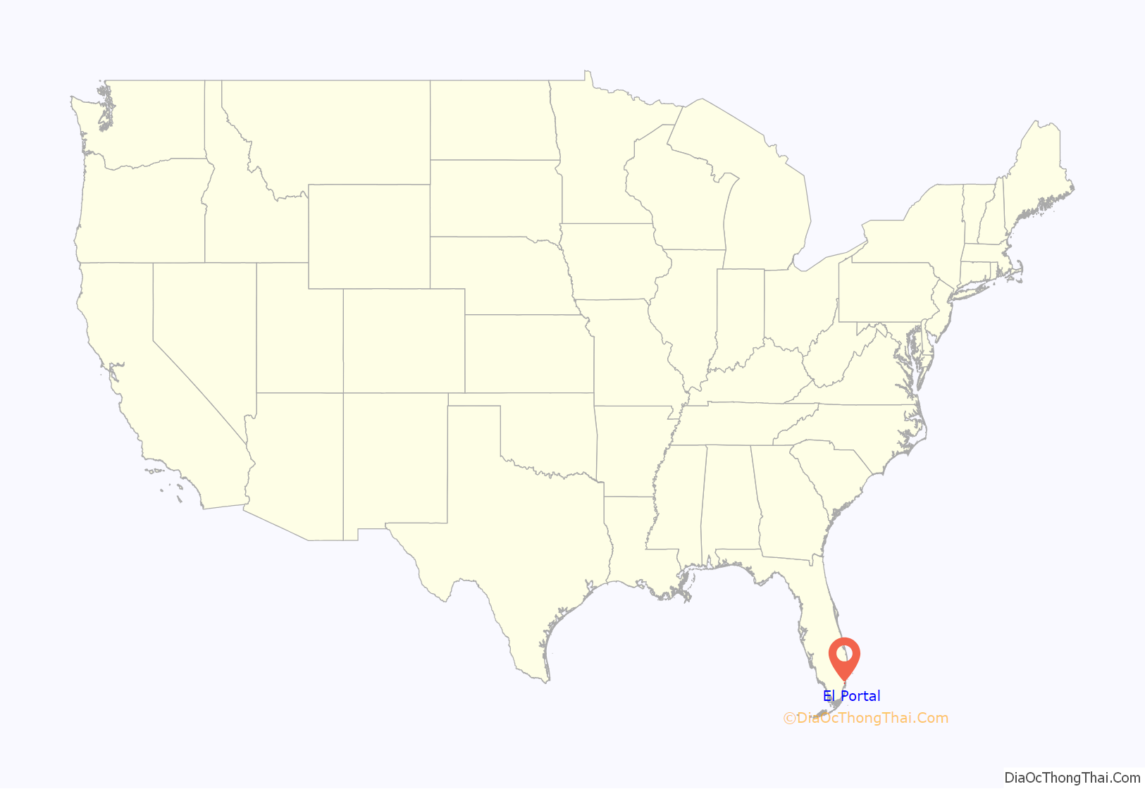
El Portal location map. Where is El Portal village?
History
El Portal is a small, diverse enclave between Miami Shores and Miami. It was incorporated on December 6, 1937. The enclave was originally the capital of the Tequesta tribal area, and was visited by Pedro Menéndez de Avilés in the 1560s. Three small subdivisions (now neighborhoods)—Sherwood Forest, El Jardin (Spanish for “The Garden”), and El Portal—merged into the Village of El Portal. Its borders include 91st Street on the north, the Little River Canal on the south, Northeast Fifth Avenue on the east and Northwest Fifth Avenue on the west.
The village’s name is a Spanish term meaning “the gate,” referring to two huge wooden gates on Northeast Second Avenue that were taken down in the 1940s.
The village was designated as a bird sanctuary by the state for more than 50 years, which means that the birds and trees cannot be harmed in any way. A nature trail winds its way through the village. El Portal also boasts links to prehistoric Indian life at the Little River Mound, a four-foot-high, innocuous grassy knoll that is actually an ancient burial ground. The Little River Mound, located in the Sherwood Forest neighborhood, is the first archaeological site to be publicly recognized and preserved in Miami-Dade County.
El Portal Road Map
El Portal city Satellite Map
Geography
El Portal is located 6 miles (10 km) north of downtown Miami at 25°51′19″N 80°11′39″W / 25.85528°N 80.19417°W / 25.85528; -80.19417 (25.855173, –80.194168). It is bordered to the south and east by the city of Miami, to the north by the village of Miami Shores, and to the southwest by unincorporated West Little River.
According to the United States Census Bureau, the village has a total area of 0.4 square miles (1.0 km), of which 0.005 square miles (1.3 ha), or 1.19%, are water.
Surrounding areas
- Miami Shores
- Unincorporated Miami-Dade County Miami Shores
- Unincorporated Miami-Dade County, Pinewood Miami Shores, Miami
- West Little River Miami
- West Little River, Miami
See also
Map of Florida State and its subdivision:- Alachua
- Baker
- Bay
- Bradford
- Brevard
- Broward
- Calhoun
- Charlotte
- Citrus
- Clay
- Collier
- Columbia
- Desoto
- Dixie
- Duval
- Escambia
- Flagler
- Franklin
- Gadsden
- Gilchrist
- Glades
- Gulf
- Hamilton
- Hardee
- Hendry
- Hernando
- Highlands
- Hillsborough
- Holmes
- Indian River
- Jackson
- Jefferson
- Lafayette
- Lake
- Lee
- Leon
- Levy
- Liberty
- Madison
- Manatee
- Marion
- Martin
- Miami-Dade
- Monroe
- Nassau
- Okaloosa
- Okeechobee
- Orange
- Osceola
- Palm Beach
- Pasco
- Pinellas
- Polk
- Putnam
- Saint Johns
- Saint Lucie
- Santa Rosa
- Sarasota
- Seminole
- Sumter
- Suwannee
- Taylor
- Union
- Volusia
- Wakulla
- Walton
- Washington
- Alabama
- Alaska
- Arizona
- Arkansas
- California
- Colorado
- Connecticut
- Delaware
- District of Columbia
- Florida
- Georgia
- Hawaii
- Idaho
- Illinois
- Indiana
- Iowa
- Kansas
- Kentucky
- Louisiana
- Maine
- Maryland
- Massachusetts
- Michigan
- Minnesota
- Mississippi
- Missouri
- Montana
- Nebraska
- Nevada
- New Hampshire
- New Jersey
- New Mexico
- New York
- North Carolina
- North Dakota
- Ohio
- Oklahoma
- Oregon
- Pennsylvania
- Rhode Island
- South Carolina
- South Dakota
- Tennessee
- Texas
- Utah
- Vermont
- Virginia
- Washington
- West Virginia
- Wisconsin
- Wyoming
