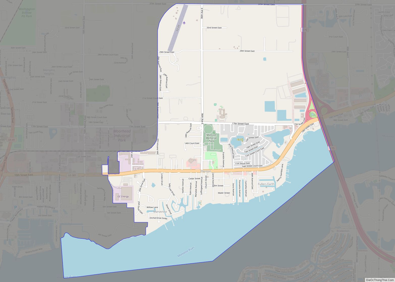
Ellenton is an unincorporated community and census-designated place (CDP) in Manatee County, Florida, United States. The population was 4,129 at the 2020 census. It is part of the Bradenton-Sarasota-Venice, Florida Metropolitan Statistical Area.
| Name: | Ellenton CDP |
|---|---|
| LSAD Code: | 57 |
| LSAD Description: | CDP (suffix) |
| State: | Florida |
| County: | Manatee County |
| Elevation: | 10 ft (3 m) |
| Total Area: | 4.47 sq mi (11.57 km²) |
| Land Area: | 3.31 sq mi (8.56 km²) |
| Water Area: | 1.16 sq mi (3.00 km²) |
| Total Population: | 4,129 |
| Population Density: | 1,248.56/sq mi (482.09/km²) |
| ZIP code: | 34222 (Ellenton) 34221 (Palmetto) |
| Area code: | 941 |
| FIPS code: | 1220375 |
| GNISfeature ID: | 0282171 |
Online Interactive Map
Click on ![]() to view map in "full screen" mode.
to view map in "full screen" mode.
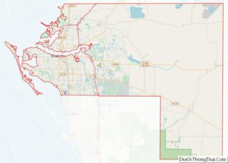
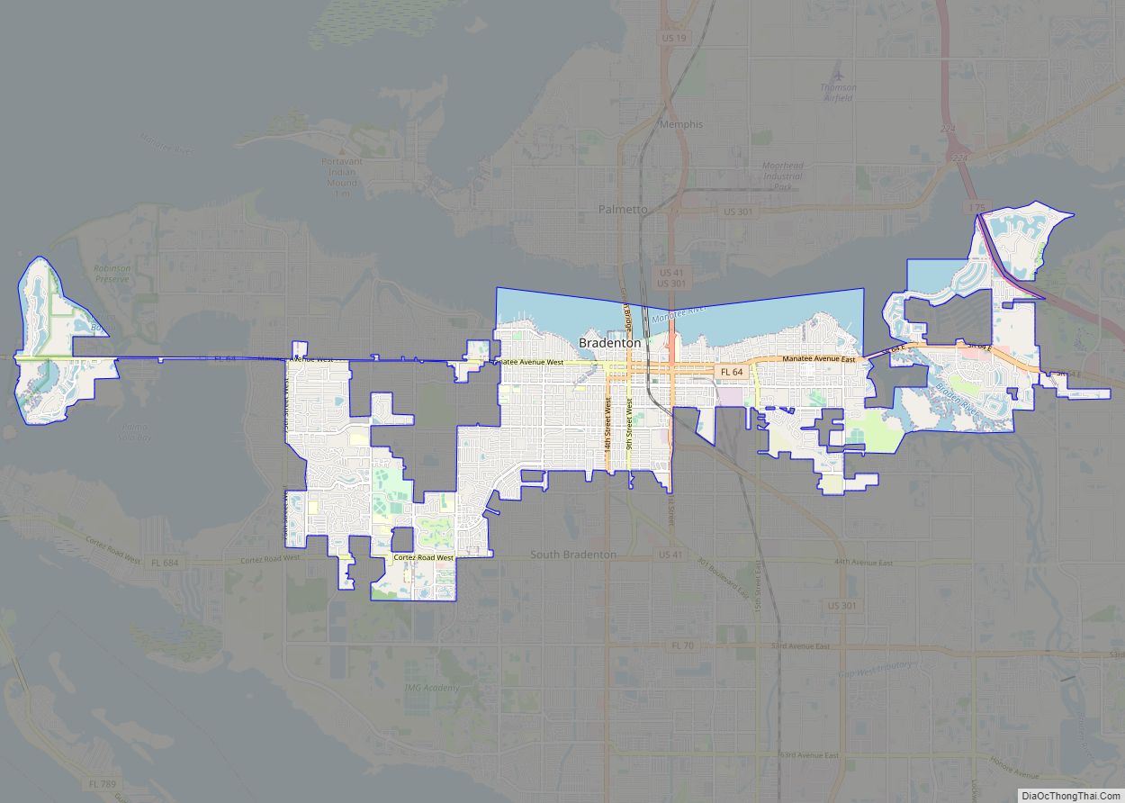
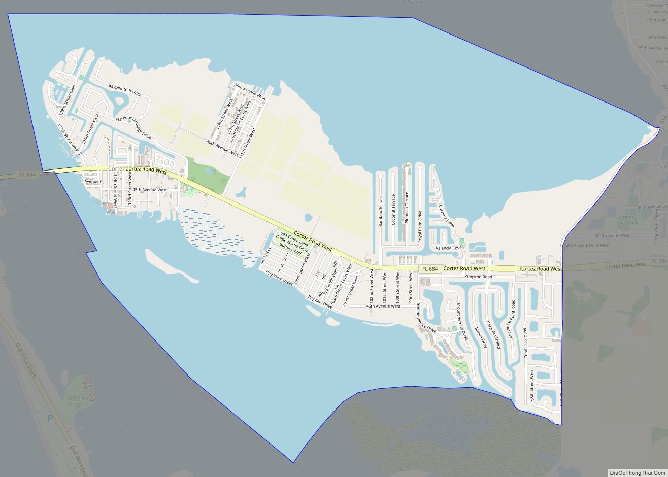
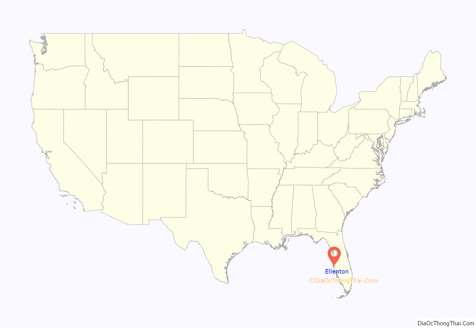
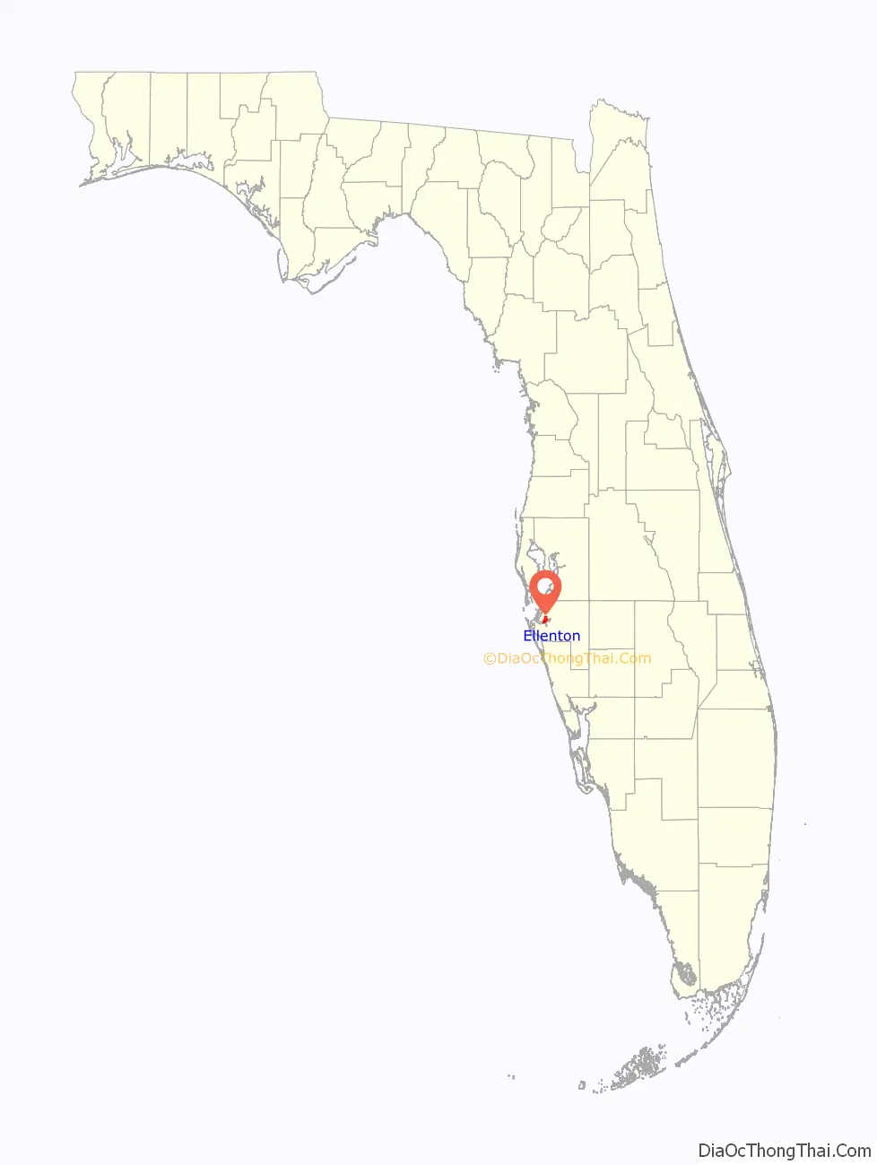
Ellenton location map. Where is Ellenton CDP?
History
The oldest structure in Ellenton is the Gamble Plantation, which was built between 1845 and 1850 by Major Robert Gamble. Originally a sugar plantation worked by slaves, the antebellum mansion fell into disrepair after the Civil War. Major George Patten and his wife, Mary, purchased the property in 1870 and named the area “Ellenton” after his daughter Ellen. In 1881, the United States government designated Ellenton as an official post office site.
A refining plant for fuller’s earth located in Ellenton along the Manatee River opened in 1903. It was owned by the Atlantic Refining Company and had 150+ employees being the biggest refinery the company owned. It burned down once in 1908 and again in 1912. In 1922, it burned down for the final time after which it was permanently closed.
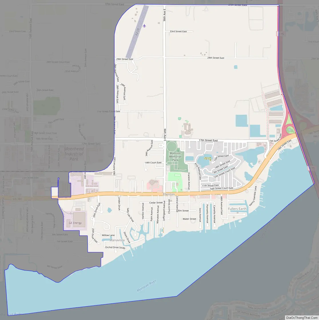
Ellenton Road Map
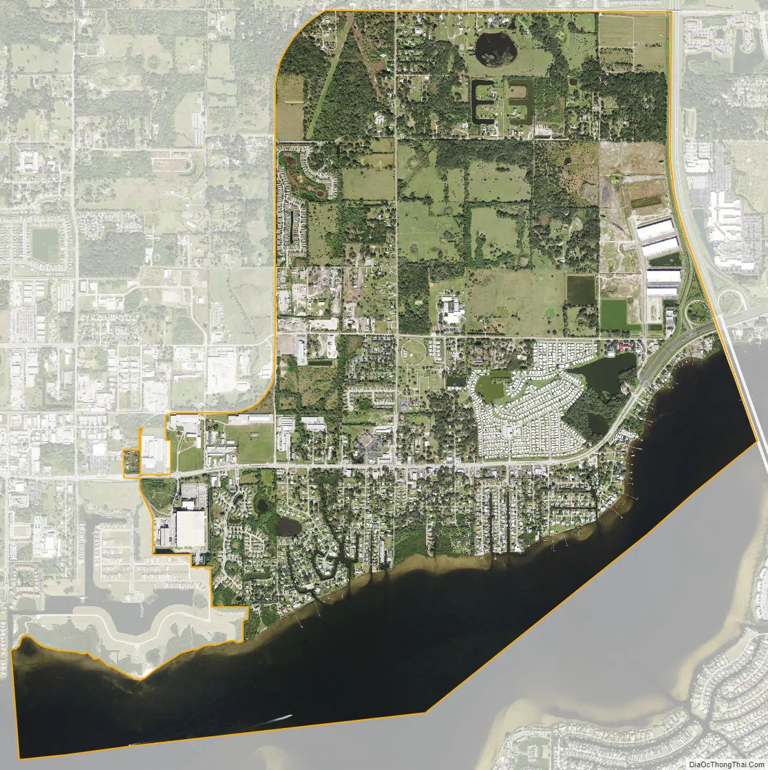
Ellenton city Satellite Map
Geography
Ellenton is located in central Manatee County at 27°31′22″N 82°31′33″W / 27.52278°N 82.52583°W / 27.52278; -82.52583 (27.522666, -82.525867). It is on the north side of the tidal Manatee River and is bordered to the west by the city of Palmetto. Unincorporated Memphis is to the northwest.
U.S. Route 301 passes through the center of the community, and Interstate 75 forms the eastern border, with the highways intersecting at Exit 224 on I-75. US 301 leads west into Palmetto and then south across the Manatee River into Bradenton, the county seat, while to the northeast it leads 8 miles (13 km) to Parrish. I-75 leads north 32 miles (51 km) to the east side of Tampa and south 85 miles (137 km) to Fort Myers.
According to the United States Census Bureau, the Ellenton CDP has a total area of 4.5 square miles (12 km), of which 3.3 square miles (8.5 km) are land and 1.2 square miles (3.1 km), or 25.95%, are water.
See also
Map of Florida State and its subdivision:- Alachua
- Baker
- Bay
- Bradford
- Brevard
- Broward
- Calhoun
- Charlotte
- Citrus
- Clay
- Collier
- Columbia
- Desoto
- Dixie
- Duval
- Escambia
- Flagler
- Franklin
- Gadsden
- Gilchrist
- Glades
- Gulf
- Hamilton
- Hardee
- Hendry
- Hernando
- Highlands
- Hillsborough
- Holmes
- Indian River
- Jackson
- Jefferson
- Lafayette
- Lake
- Lee
- Leon
- Levy
- Liberty
- Madison
- Manatee
- Marion
- Martin
- Miami-Dade
- Monroe
- Nassau
- Okaloosa
- Okeechobee
- Orange
- Osceola
- Palm Beach
- Pasco
- Pinellas
- Polk
- Putnam
- Saint Johns
- Saint Lucie
- Santa Rosa
- Sarasota
- Seminole
- Sumter
- Suwannee
- Taylor
- Union
- Volusia
- Wakulla
- Walton
- Washington
- Alabama
- Alaska
- Arizona
- Arkansas
- California
- Colorado
- Connecticut
- Delaware
- District of Columbia
- Florida
- Georgia
- Hawaii
- Idaho
- Illinois
- Indiana
- Iowa
- Kansas
- Kentucky
- Louisiana
- Maine
- Maryland
- Massachusetts
- Michigan
- Minnesota
- Mississippi
- Missouri
- Montana
- Nebraska
- Nevada
- New Hampshire
- New Jersey
- New Mexico
- New York
- North Carolina
- North Dakota
- Ohio
- Oklahoma
- Oregon
- Pennsylvania
- Rhode Island
- South Carolina
- South Dakota
- Tennessee
- Texas
- Utah
- Vermont
- Virginia
- Washington
- West Virginia
- Wisconsin
- Wyoming