Fruitville is a census-designated place (CDP) in Sarasota County, Florida, United States. The population was 15,484 at the 2020 census. It is part of the North Port–Sarasota–Bradenton Metropolitan Statistical Area.
| Name: | Fruitville CDP |
|---|---|
| LSAD Code: | 57 |
| LSAD Description: | CDP (suffix) |
| State: | Florida |
| County: | Sarasota County |
| Elevation: | 30 ft (9 m) |
| Total Area: | 7.13 sq mi (18.46 km²) |
| Land Area: | 6.82 sq mi (17.68 km²) |
| Water Area: | 0.30 sq mi (0.78 km²) 4.21% |
| Total Population: | 15,484 |
| Population Density: | 2,269.05/sq mi (876.04/km²) |
| ZIP code: | 34232 |
| Area code: | 941 |
| FIPS code: | 1225000 |
| GNISfeature ID: | 0282846 |
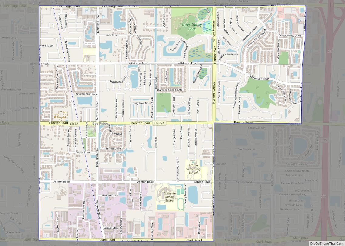
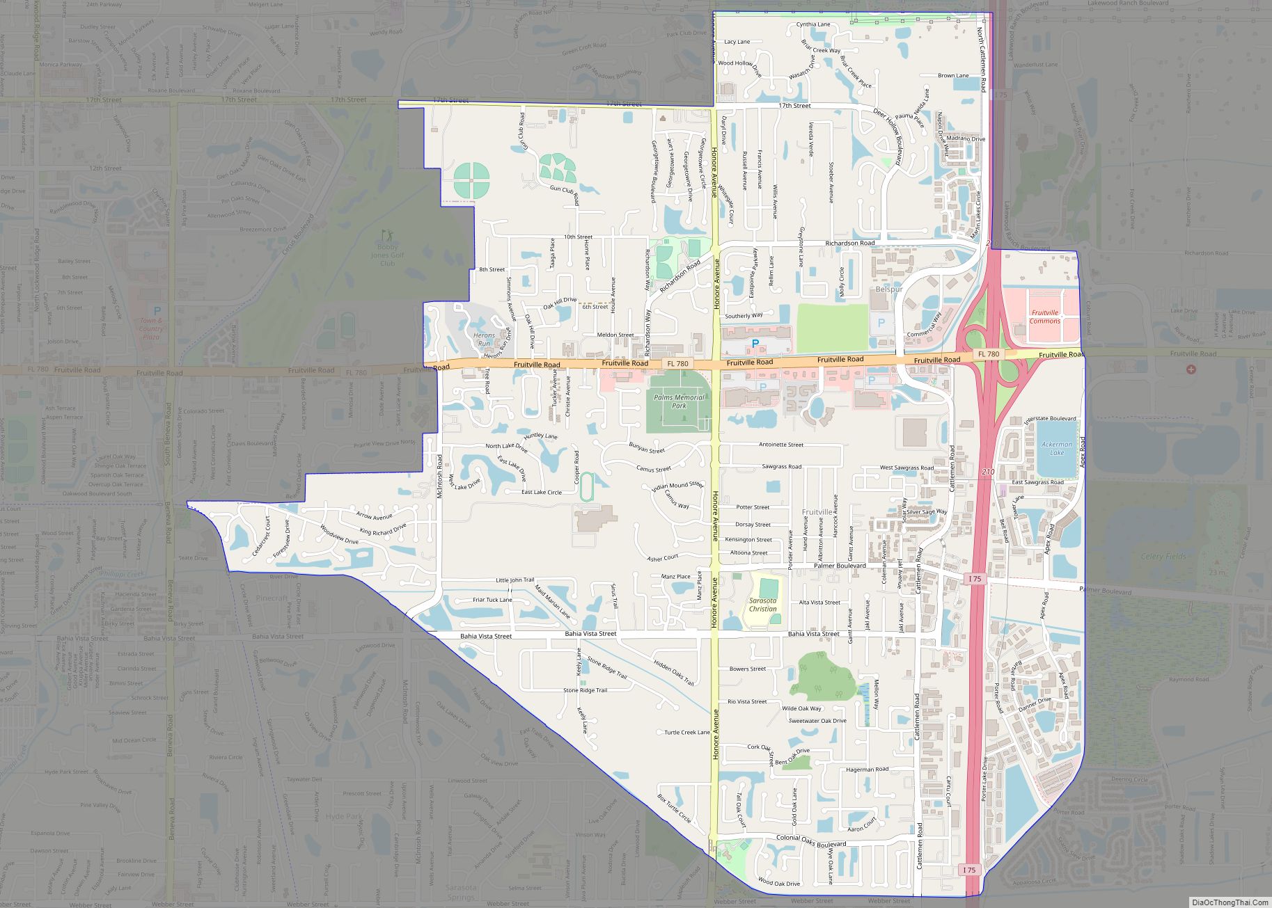
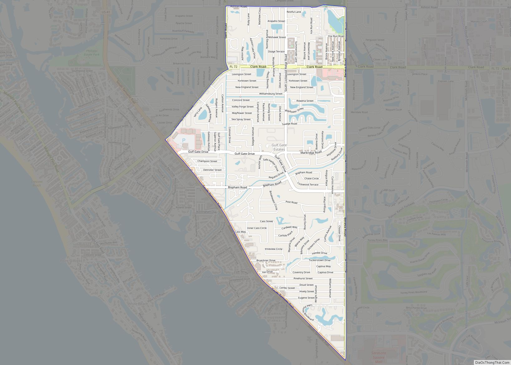
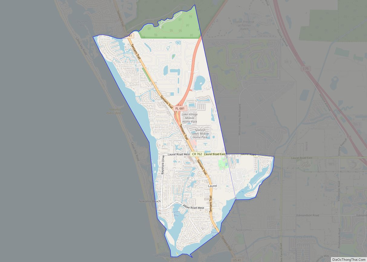
Online Interactive Map
Click on ![]() to view map in "full screen" mode.
to view map in "full screen" mode.
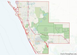
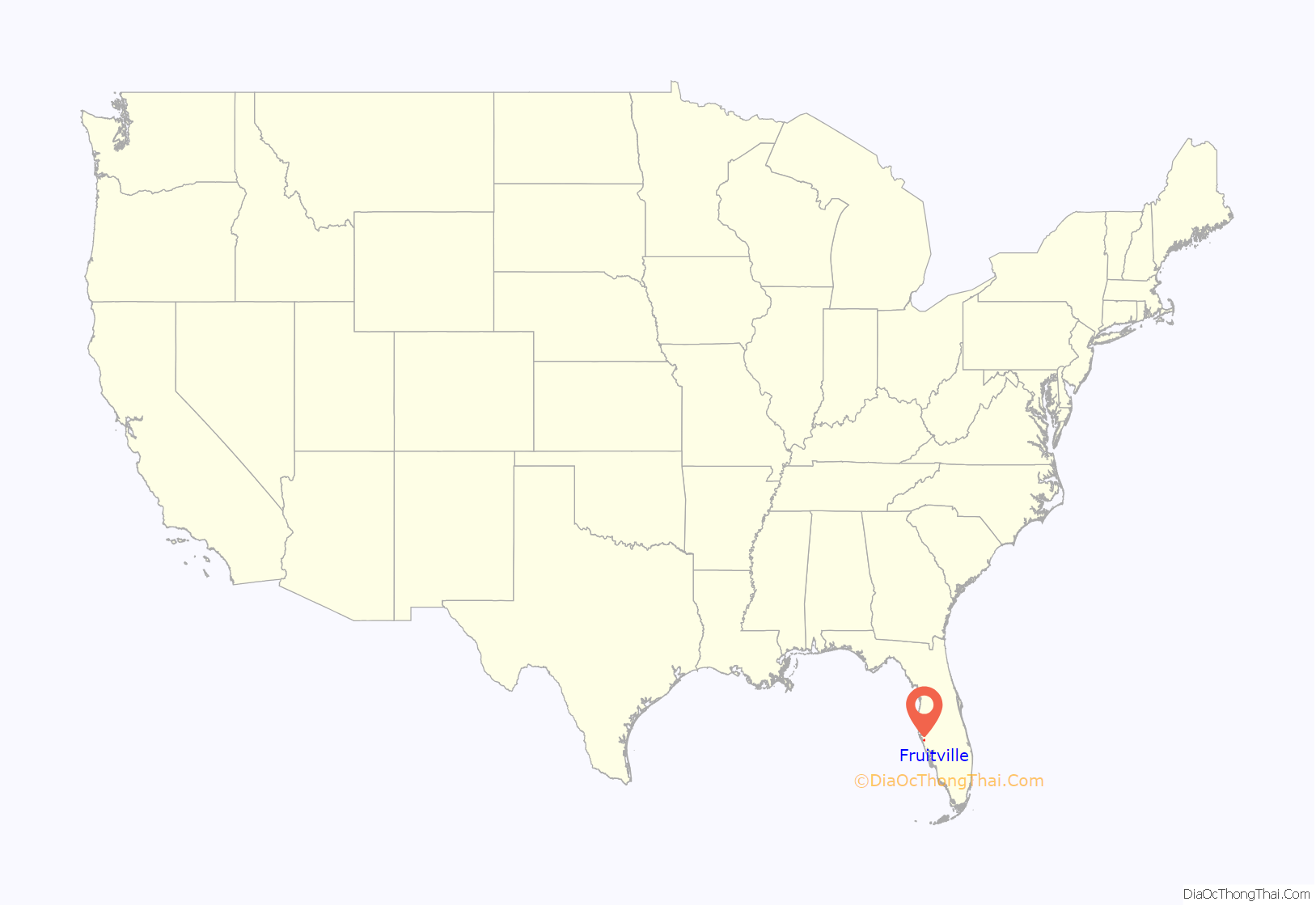
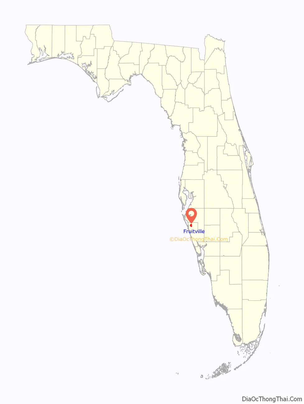
Fruitville location map. Where is Fruitville CDP?
History
The area that is Fruitville was mostly a sawgrass swamp when European pioneers began to settle the area. This marshland was home to wild cattle but, according to one source, those cattle didn’t do well due to a lack of minerals in the foliage they grazed from. This swampland was eventually drained to make the land more suitable for farming.
In the late 1870s, a new wave of pioneers began to settle in Florida thanks to a growing orange industry. In 1876, a man by the name of Charles Reaves settled in what is now considered Fruitville. According to some sources, he was the one who named the area Fruitville after the abundance of fruit in the area. Reaves would go on to become the postmaster for the area’s 115 residents. The first church in Sarasota County was the Friendship Baptist Church. The church was chartered in 1875 and a small pine log structure was used for the congregation until a new church was erected in 1876, using some of the original lumber from the first church. In 1887, the Florida Mortgage and Investment Company of Scotland donated land to the church for the establishment of the community’s first cemetery.
Also in 1887, Charles and his wife Martha Tatum Reaves converted their corncrib into Fruitville’s first school for their three children and seven neighbors. They went on to hire Miss Josie Clower as the first teacher in the area. After citizens petitioned for a modern school building, funding was granted from the Works Progress Administration to build Fruitville Elementary in 1941. Rural schools in the nearby villages of Tatum Ridge and Old Myakka were closed, with their students bussed to the new school in Fruitville.
A map from 1902 shows Fruitville on the map as a community.
In May 1918, Franklin Field (named after then-mayor George Franklin) began operating as a military airfield during World War I. The Franklin airfield was located north of Fruitville Road and east of what is now Tuttle road. The airfield was an auxiliary landing station for the U.S. Army Air Service and housed, at the least, several Curtiss JN “Jenny” planes. With the war over, the airfield saw less and less traffic and was likely unused by 1920. In 1924 the land was developed for a new subdivision.
Throughout the 1960s and 70s, there was a migrant camp called Sababo in Fruitville that supplied much of the labor force for area’s farm industry. A major crop in the area was celery. In 1966, there was an estimated 2,000 migrant workers in Sarasota County. To provide healthcare and education to this population, on December 5, 1966 the Fruitville Area Medical and Educational (FAME) Center was opened.
In November 1990, Litchfield’s Cinema 10 opened in the Sarasota Commons, the community’s first modern movie theater. As a promotion, the theater offered tickets for only 50 cents during its opening. Some of the films shown for its pre-opening weekend were Pretty Woman and Back to the Future III.
On December 8, 2001, the Fruitville Public Library was opened to serve the Fruitville community as a part of the Sarasota County Library System. The library was initially called East County Library throughout its land-use planning process before the Sarasota County Commission renamed the library a month prior to its opening.
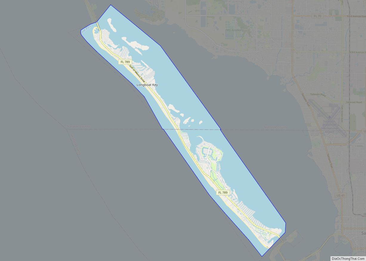
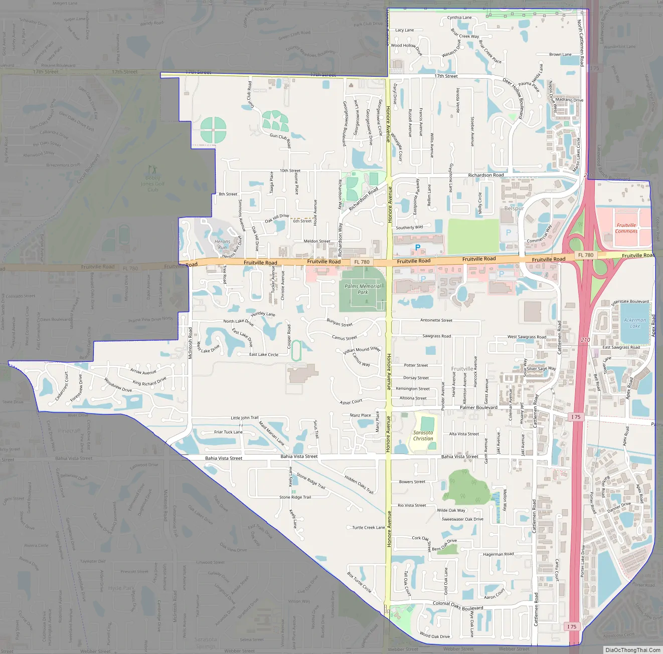
Fruitville Road Map
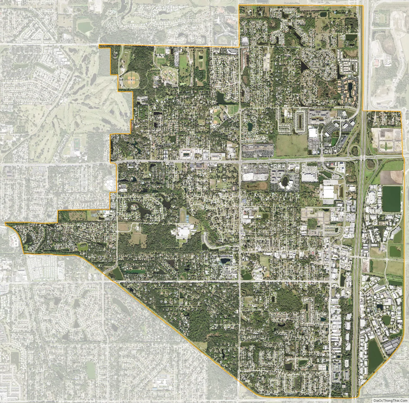
Fruitville city Satellite Map
Geography
According to the United States Census Bureau, the CDP has a total area of 7.13 square miles (18.46 km), of which 6.83 square miles (17.68 km) is land and 0.30 square miles (0.78 km), or 4.21%, is water.
See also
Map of Florida State and its subdivision:- Alachua
- Baker
- Bay
- Bradford
- Brevard
- Broward
- Calhoun
- Charlotte
- Citrus
- Clay
- Collier
- Columbia
- Desoto
- Dixie
- Duval
- Escambia
- Flagler
- Franklin
- Gadsden
- Gilchrist
- Glades
- Gulf
- Hamilton
- Hardee
- Hendry
- Hernando
- Highlands
- Hillsborough
- Holmes
- Indian River
- Jackson
- Jefferson
- Lafayette
- Lake
- Lee
- Leon
- Levy
- Liberty
- Madison
- Manatee
- Marion
- Martin
- Miami-Dade
- Monroe
- Nassau
- Okaloosa
- Okeechobee
- Orange
- Osceola
- Palm Beach
- Pasco
- Pinellas
- Polk
- Putnam
- Saint Johns
- Saint Lucie
- Santa Rosa
- Sarasota
- Seminole
- Sumter
- Suwannee
- Taylor
- Union
- Volusia
- Wakulla
- Walton
- Washington
- Alabama
- Alaska
- Arizona
- Arkansas
- California
- Colorado
- Connecticut
- Delaware
- District of Columbia
- Florida
- Georgia
- Hawaii
- Idaho
- Illinois
- Indiana
- Iowa
- Kansas
- Kentucky
- Louisiana
- Maine
- Maryland
- Massachusetts
- Michigan
- Minnesota
- Mississippi
- Missouri
- Montana
- Nebraska
- Nevada
- New Hampshire
- New Jersey
- New Mexico
- New York
- North Carolina
- North Dakota
- Ohio
- Oklahoma
- Oregon
- Pennsylvania
- Rhode Island
- South Carolina
- South Dakota
- Tennessee
- Texas
- Utah
- Vermont
- Virginia
- Washington
- West Virginia
- Wisconsin
- Wyoming