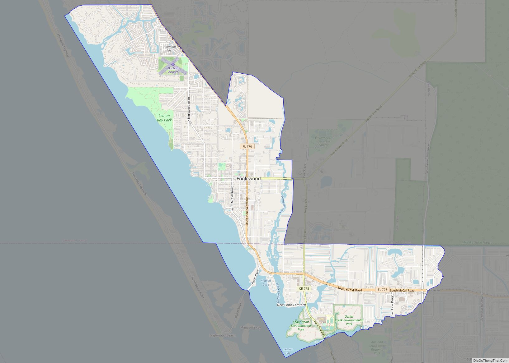
Grove City is an unincorporated community and census-designated place (CDP) in Charlotte County, Florida, United States. The population was 2,174 at the 2020 census. It is part of the Sarasota-Bradenton-Punta Gorda Combined Statistical Area.
| Name: | Grove City CDP |
|---|---|
| LSAD Code: | 57 |
| LSAD Description: | CDP (suffix) |
| State: | Florida |
| County: | Charlotte County |
| Elevation: | 10 ft (3 m) |
| Total Area: | 2.24 sq mi (5.80 km²) |
| Land Area: | 1.35 sq mi (3.51 km²) |
| Water Area: | 0.88 sq mi (2.29 km²) |
| Total Population: | 2,174 |
| Population Density: | 1,604.43/sq mi (619.41/km²) |
| ZIP code: | 34224 |
| Area code: | 941 |
| FIPS code: | 1227775 |
| GNISfeature ID: | 0283470 |
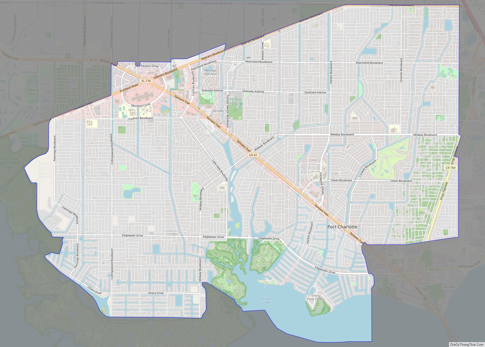
Online Interactive Map
Click on ![]() to view map in "full screen" mode.
to view map in "full screen" mode.
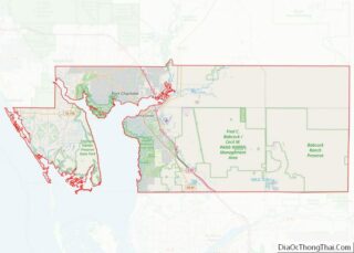
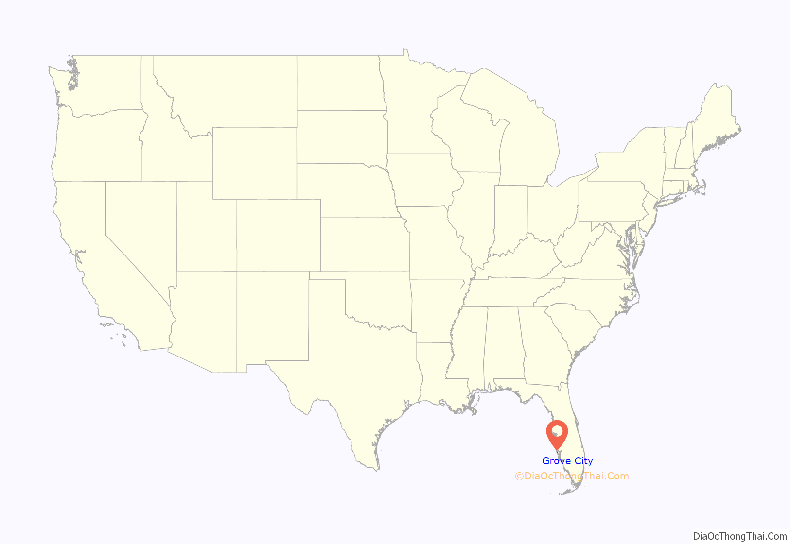
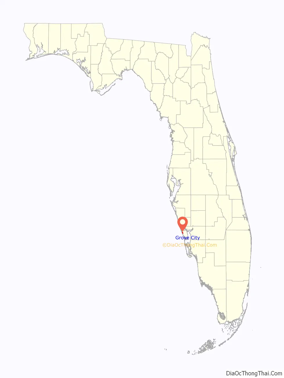
Grove City location map. Where is Grove City CDP?
History
Grove City was platted in 1886. A post office was established at Grove City in 1887, and remained in operation until 1910.
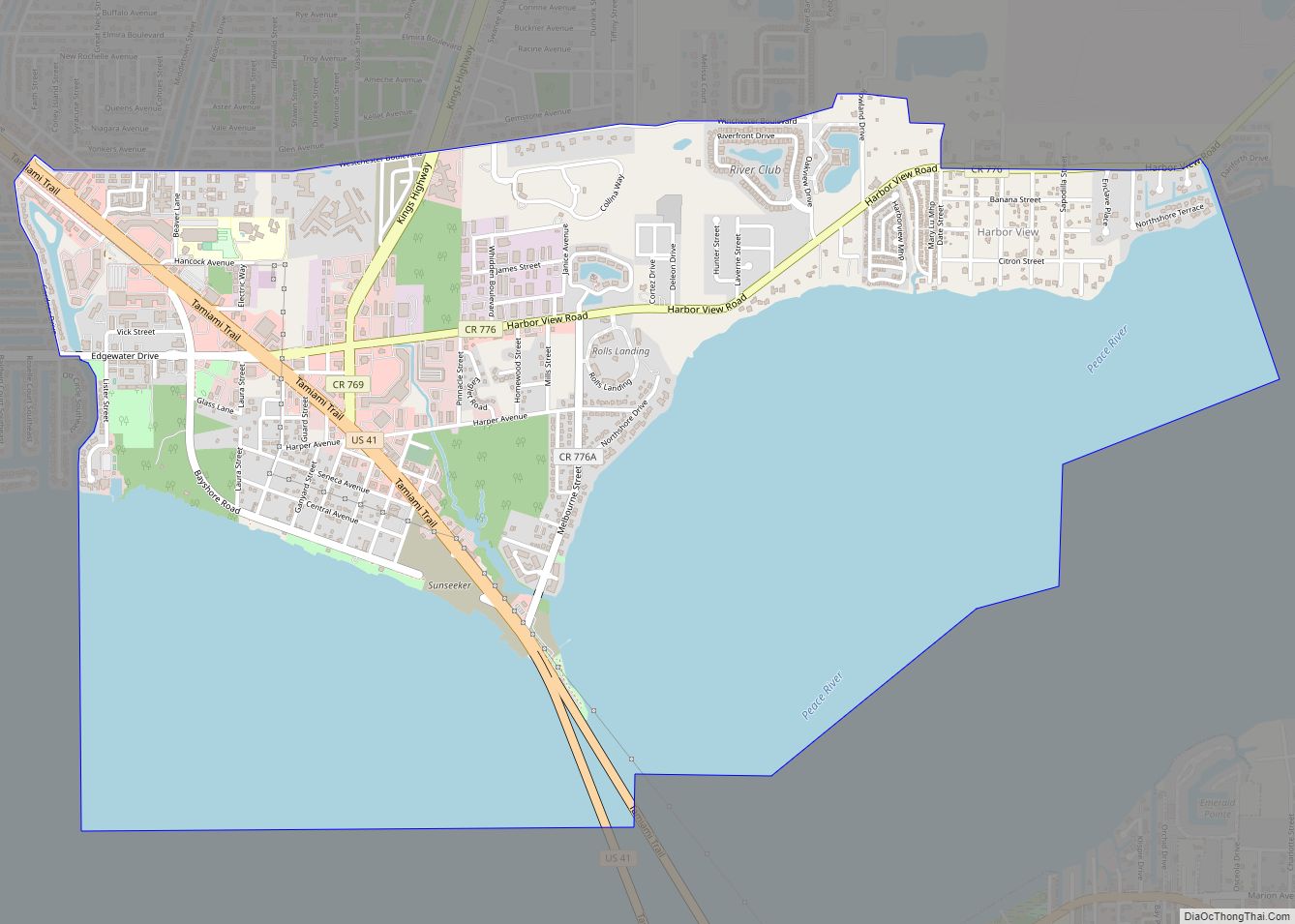
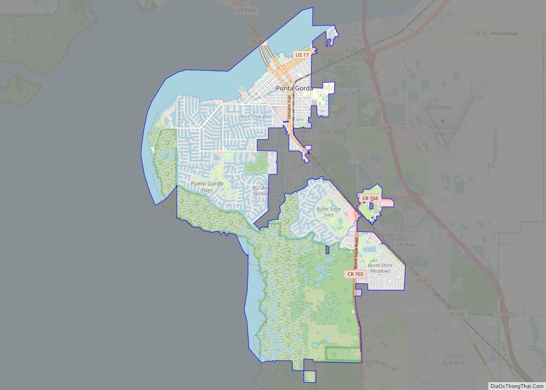
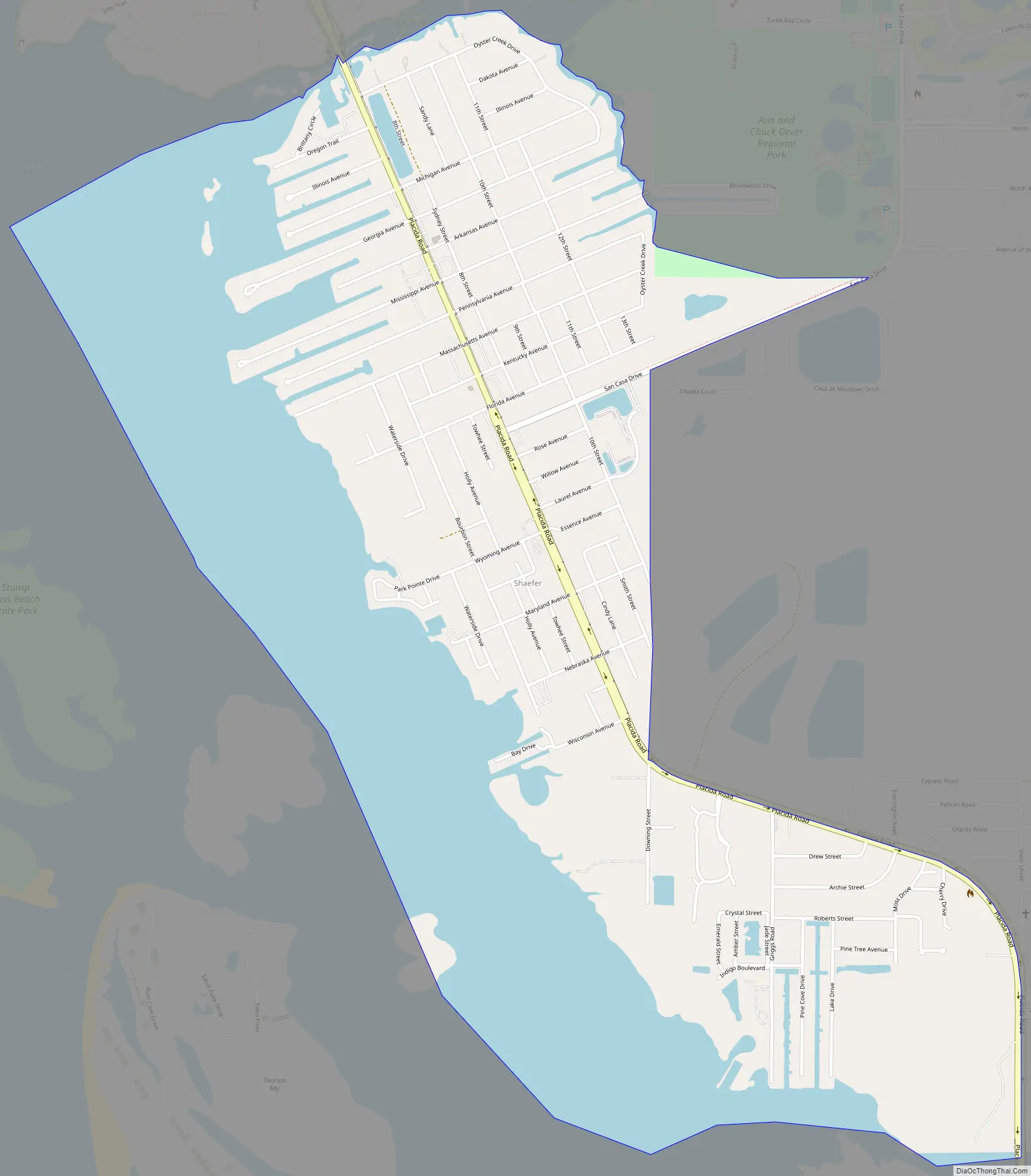
Grove City Road Map
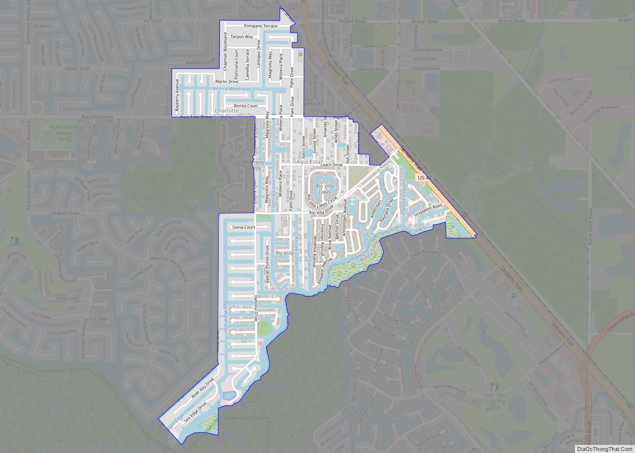
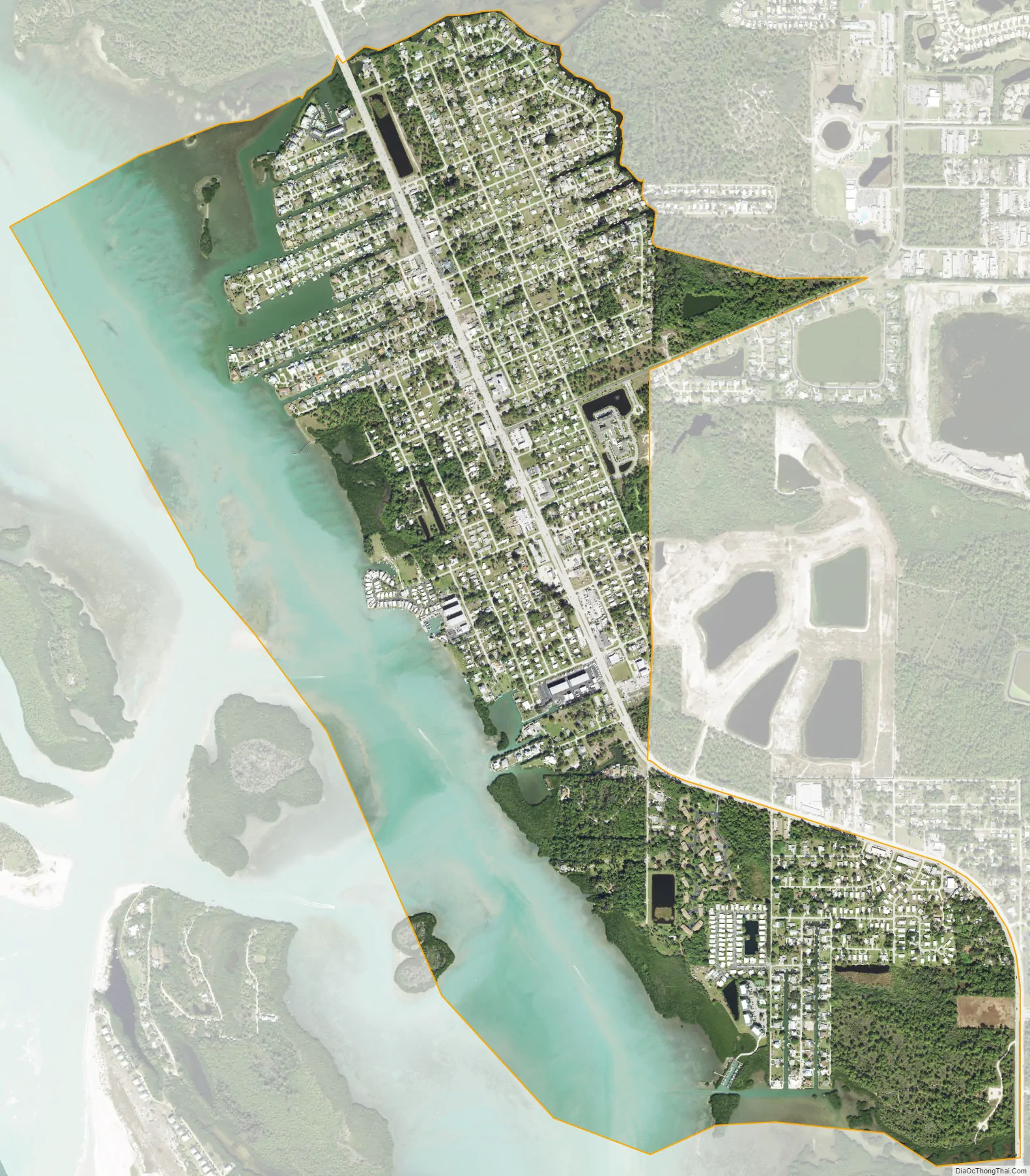
Grove City city Satellite Map
Geography
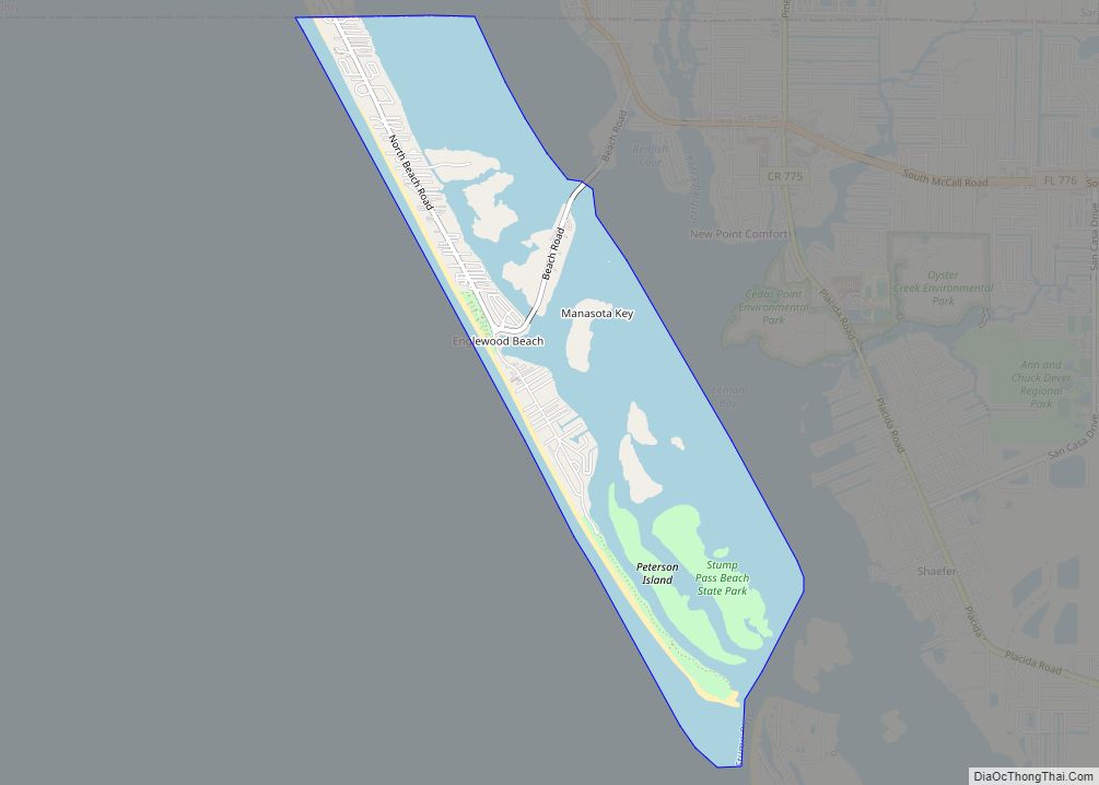
Grove City is located in western Charlotte County at 26°54′43″N 82°19′30″W / 26.91194°N 82.32500°W / 26.91194; -82.32500 (26.911966, -82.324933). It is bordered by Englewood to the north and by Manasota Key to the west across Lemon Bay, an arm of the Gulf of Mexico. Rotonda West is to the southeast.
According to the United States Census Bureau, the Grove City CDP has a total area of 2.2 square miles (5.8 km), of which 1.4 square miles (3.5 km) is land and 0.89 square miles (2.3 km), or 39.54%, is water.
See also
Map of Florida State and its subdivision:- Alachua
- Baker
- Bay
- Bradford
- Brevard
- Broward
- Calhoun
- Charlotte
- Citrus
- Clay
- Collier
- Columbia
- Desoto
- Dixie
- Duval
- Escambia
- Flagler
- Franklin
- Gadsden
- Gilchrist
- Glades
- Gulf
- Hamilton
- Hardee
- Hendry
- Hernando
- Highlands
- Hillsborough
- Holmes
- Indian River
- Jackson
- Jefferson
- Lafayette
- Lake
- Lee
- Leon
- Levy
- Liberty
- Madison
- Manatee
- Marion
- Martin
- Miami-Dade
- Monroe
- Nassau
- Okaloosa
- Okeechobee
- Orange
- Osceola
- Palm Beach
- Pasco
- Pinellas
- Polk
- Putnam
- Saint Johns
- Saint Lucie
- Santa Rosa
- Sarasota
- Seminole
- Sumter
- Suwannee
- Taylor
- Union
- Volusia
- Wakulla
- Walton
- Washington
- Alabama
- Alaska
- Arizona
- Arkansas
- California
- Colorado
- Connecticut
- Delaware
- District of Columbia
- Florida
- Georgia
- Hawaii
- Idaho
- Illinois
- Indiana
- Iowa
- Kansas
- Kentucky
- Louisiana
- Maine
- Maryland
- Massachusetts
- Michigan
- Minnesota
- Mississippi
- Missouri
- Montana
- Nebraska
- Nevada
- New Hampshire
- New Jersey
- New Mexico
- New York
- North Carolina
- North Dakota
- Ohio
- Oklahoma
- Oregon
- Pennsylvania
- Rhode Island
- South Carolina
- South Dakota
- Tennessee
- Texas
- Utah
- Vermont
- Virginia
- Washington
- West Virginia
- Wisconsin
- Wyoming