Highland City is a census-designated place (CDP) in Polk County, Florida, United States. The population was 2,051 at the 2000 census. It is part of the Lakeland–Winter Haven Metropolitan Statistical Area.
| Name: | Highland City CDP |
|---|---|
| LSAD Code: | 57 |
| LSAD Description: | CDP (suffix) |
| State: | Florida |
| County: | Polk County |
| Elevation: | 118 ft (36 m) |
| Total Area: | 7.91 sq mi (20.48 km²) |
| Land Area: | 7.88 sq mi (20.42 km²) |
| Water Area: | 0.02 sq mi (0.05 km²) |
| Total Population: | 12,355 |
| Population Density: | 1,566.90/sq mi (604.96/km²) |
| Area code: | 863 |
| FIPS code: | 1230225 |
| GNISfeature ID: | 0284002 |
Online Interactive Map
Click on ![]() to view map in "full screen" mode.
to view map in "full screen" mode.
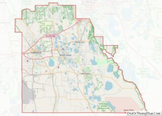
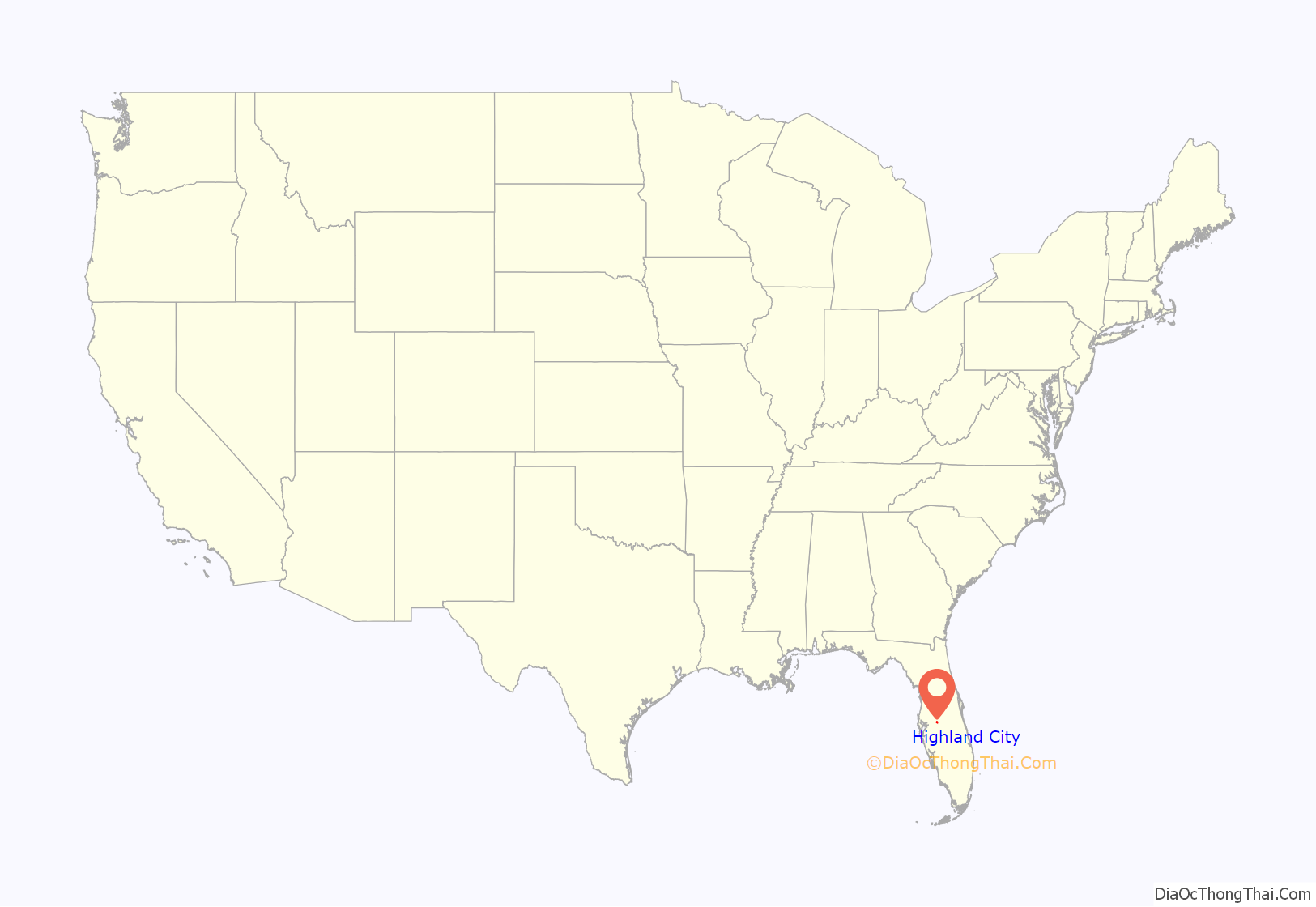
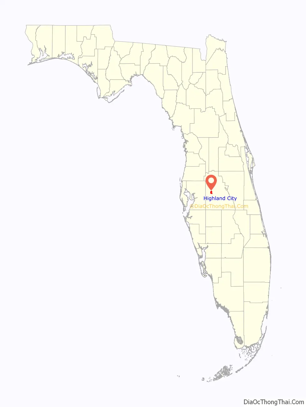
Highland City location map. Where is Highland City CDP?
History
The modern-day area of Highland City was the site of the United States Army’s Fort Fraser, established in 1837 during its war with the Seminole Indians. Zachary Taylor, former U.S. President, commanded the fort for a short period. Fort Fraser was abandoned shortly after its construction.
In 1885, the Pemberton Ferry Branch of the South Florida Railroad was completed between Lakeland and Bartow. The area now known as Highland City was the only stop between the two larger cities. The stop, and eventual village, was named for the Haskell brothers, who were early investors in the South Florida Railroad. E. B. Haskell was a newspaper publisher from Boston, Massachusetts and his brother Dr. C. C. Haskell, of Maitland, Florida, was an original stakeholder in the South Florida Railroad. In addition to the town of Haskell, the South Florida Railroad’s #6 locomotive was named the E. B. Haskell.
The Haskell freight depot was built by the railroad company along the roadway that would later become U.S. Highway 98. (In 1958, the depot was demolished due to its proximity to the roadway, and was replaced by a new freight building). The first postmaster (and also the first freight agent of the depot) in Haskell, Thomas A. Goode, was appointed on February 9, 1887.
Developer W. F. Hallam had begun to develop the Lakeland Highlands area by 1924. Hallam built the Hallam Country Clubhouse in the area west of Highland City and the road accessing the clubhouse became known as Clubhouse Road. The development of the Highlands also brought an influx of new residents to the Haskell community.
In 1925, the community of Haskell was incorporated by the Florida legislature, which also had the effect of officially changing the community’s name to Highlands City. The city elected its first officials:
By 1927, the town’s official area was reduced due to a lawsuit brought on behalf of a few Highland City landowners. This ended the town’s short stint as an incorporated place.
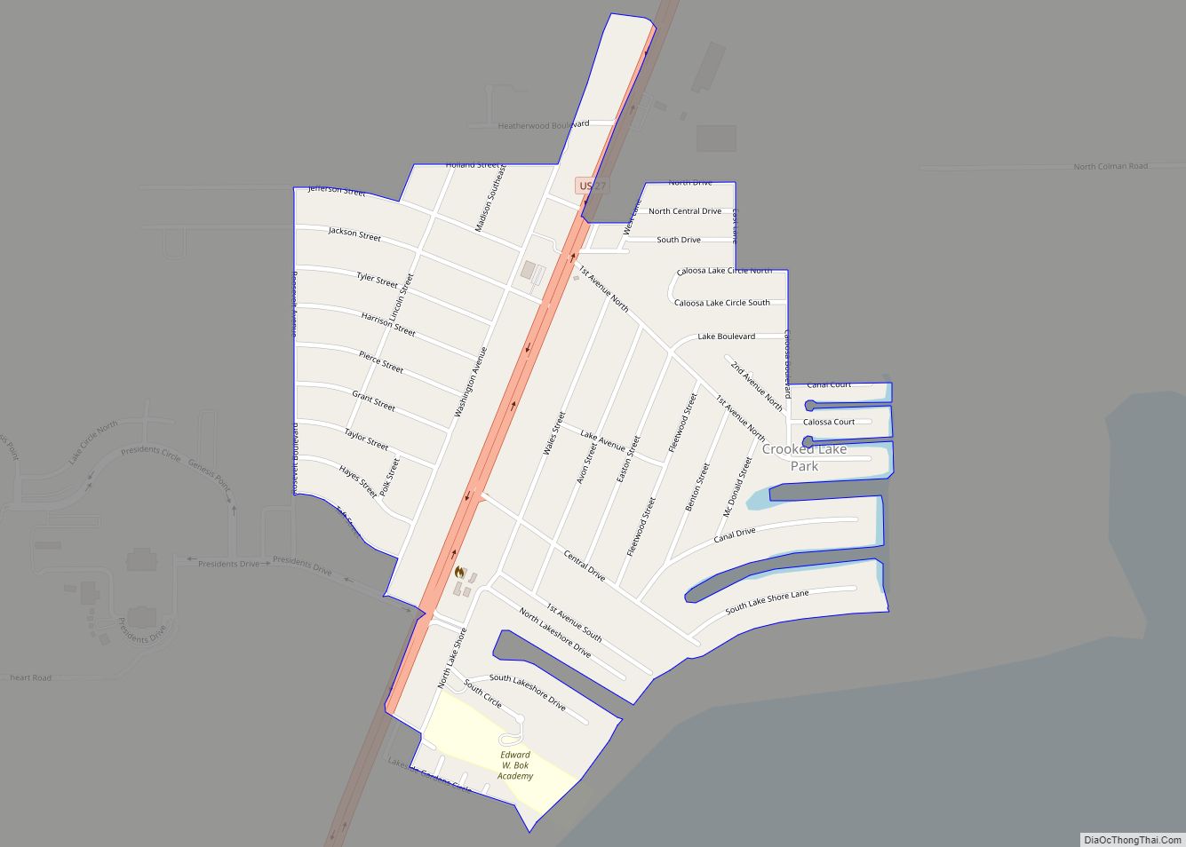
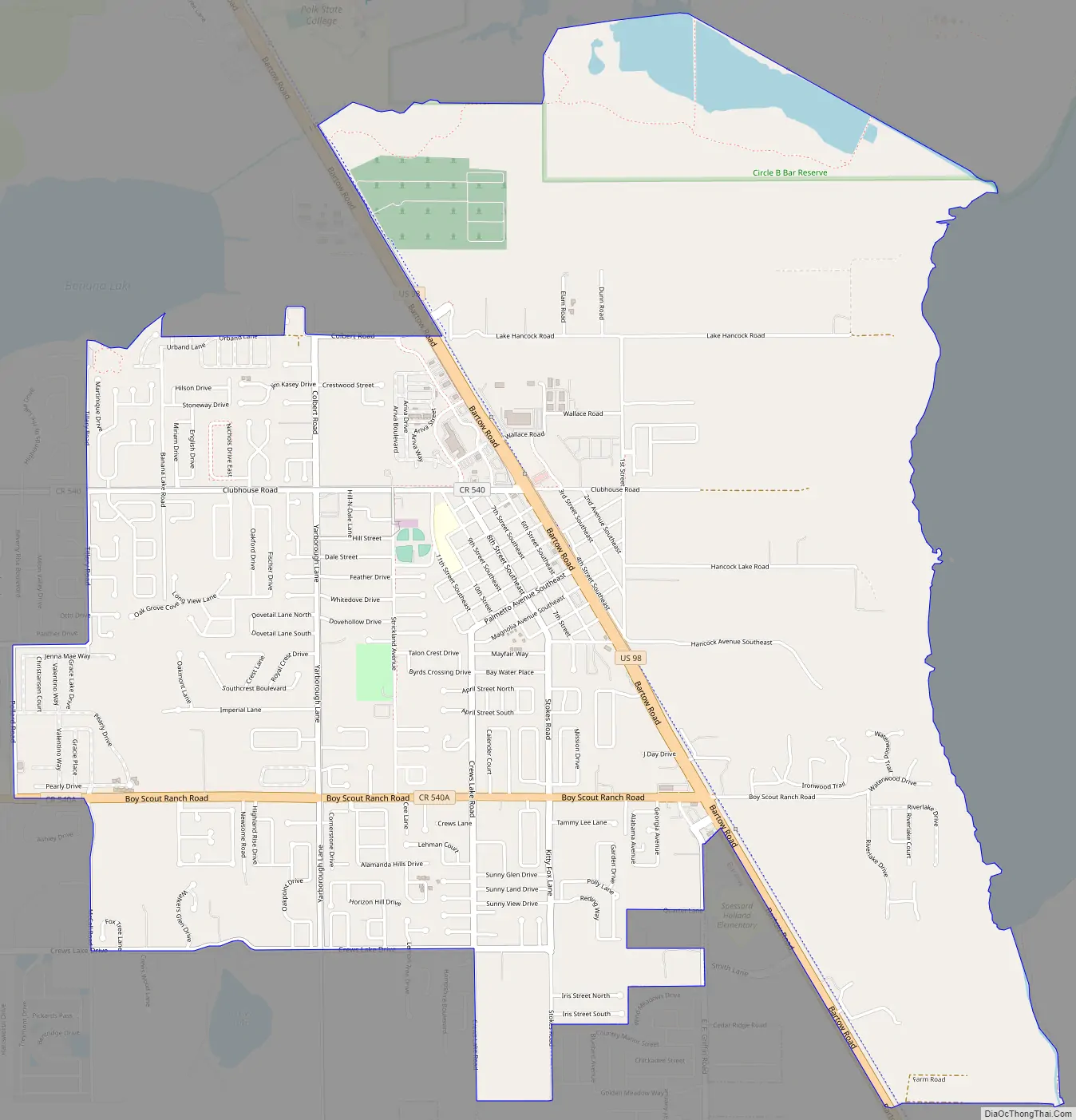
Highland City Road Map
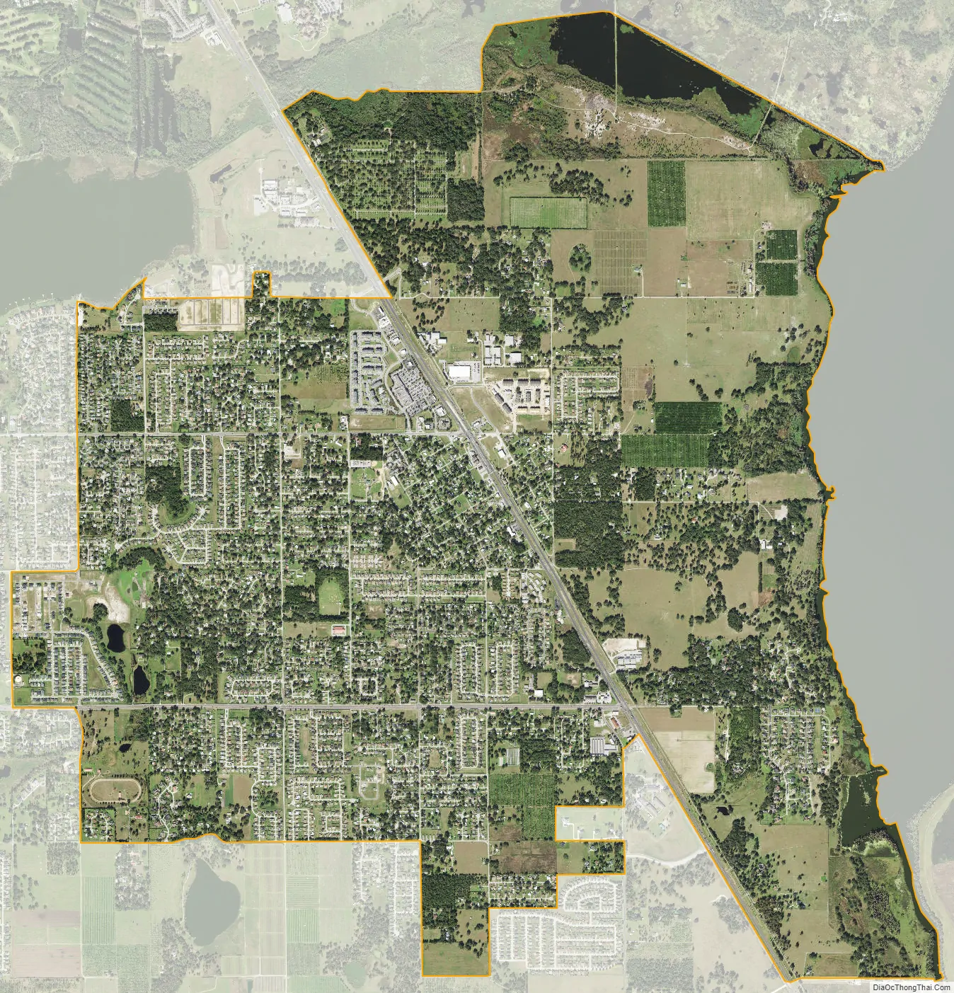
Highland City city Satellite Map
Geography
Highland City is located at 27°57′46″N 81°52′46″W / 27.96278°N 81.87944°W / 27.96278; -81.87944 (27.962901, -81.879380).
According to the United States Census Bureau, the CDP has a total area of 0.8 square miles (2.1 km), all land.
Highland City’s street addresses put them on the Lakeland street grid; most street names have “SE” in their name, indicating that they are southeast of Lakeland’s “point zero” intersection of Florida Avenue and Main Street. However, Highland City is often considered to be culturally closer to Bartow than Lakeland. Highland City Elementary, primarily feeds into Bartow Middle School and Bartow High School. Unlike its nearest neighbor, Lakeland Highlands, which is somewhat affluent, Highland City is a working class area with many mobile homes.
The Highland City census designated place is located on U.S. Highway 98, northwest of Bartow and east of Lakeland Highlands. The approximate limits of the Highland City census designated place are County Road 540A to the south, Clubhouse Road to the North, Strickland Avenue to the west, and 1st Street SE to the east.
See also
Map of Florida State and its subdivision:- Alachua
- Baker
- Bay
- Bradford
- Brevard
- Broward
- Calhoun
- Charlotte
- Citrus
- Clay
- Collier
- Columbia
- Desoto
- Dixie
- Duval
- Escambia
- Flagler
- Franklin
- Gadsden
- Gilchrist
- Glades
- Gulf
- Hamilton
- Hardee
- Hendry
- Hernando
- Highlands
- Hillsborough
- Holmes
- Indian River
- Jackson
- Jefferson
- Lafayette
- Lake
- Lee
- Leon
- Levy
- Liberty
- Madison
- Manatee
- Marion
- Martin
- Miami-Dade
- Monroe
- Nassau
- Okaloosa
- Okeechobee
- Orange
- Osceola
- Palm Beach
- Pasco
- Pinellas
- Polk
- Putnam
- Saint Johns
- Saint Lucie
- Santa Rosa
- Sarasota
- Seminole
- Sumter
- Suwannee
- Taylor
- Union
- Volusia
- Wakulla
- Walton
- Washington
- Alabama
- Alaska
- Arizona
- Arkansas
- California
- Colorado
- Connecticut
- Delaware
- District of Columbia
- Florida
- Georgia
- Hawaii
- Idaho
- Illinois
- Indiana
- Iowa
- Kansas
- Kentucky
- Louisiana
- Maine
- Maryland
- Massachusetts
- Michigan
- Minnesota
- Mississippi
- Missouri
- Montana
- Nebraska
- Nevada
- New Hampshire
- New Jersey
- New Mexico
- New York
- North Carolina
- North Dakota
- Ohio
- Oklahoma
- Oregon
- Pennsylvania
- Rhode Island
- South Carolina
- South Dakota
- Tennessee
- Texas
- Utah
- Vermont
- Virginia
- Washington
- West Virginia
- Wisconsin
- Wyoming