Hill ‘n Dale is a census-designated place (CDP) in Hernando County, Florida, United States. The population was 1,934 at the 2010 census.
| Name: | Hill ‘n Dale CDP |
|---|---|
| LSAD Code: | 57 |
| LSAD Description: | CDP (suffix) |
| State: | Florida |
| County: | Hernando County |
| Elevation: | 108 ft (33 m) |
| Total Area: | 2.20 sq mi (5.70 km²) |
| Land Area: | 2.20 sq mi (5.69 km²) |
| Water Area: | 0.00 sq mi (0.00 km²) |
| Total Population: | 2,212 |
| Population Density: | 1,005.91/sq mi (388.47/km²) |
| FIPS code: | 1230800 |
| GNISfeature ID: | 0300931 |
Online Interactive Map
Click on ![]() to view map in "full screen" mode.
to view map in "full screen" mode.
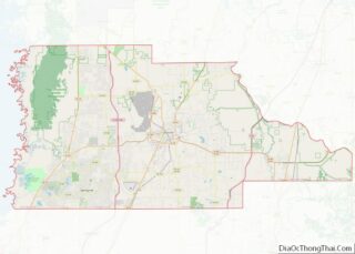
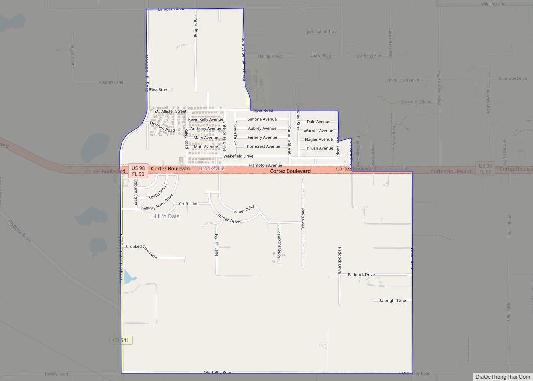
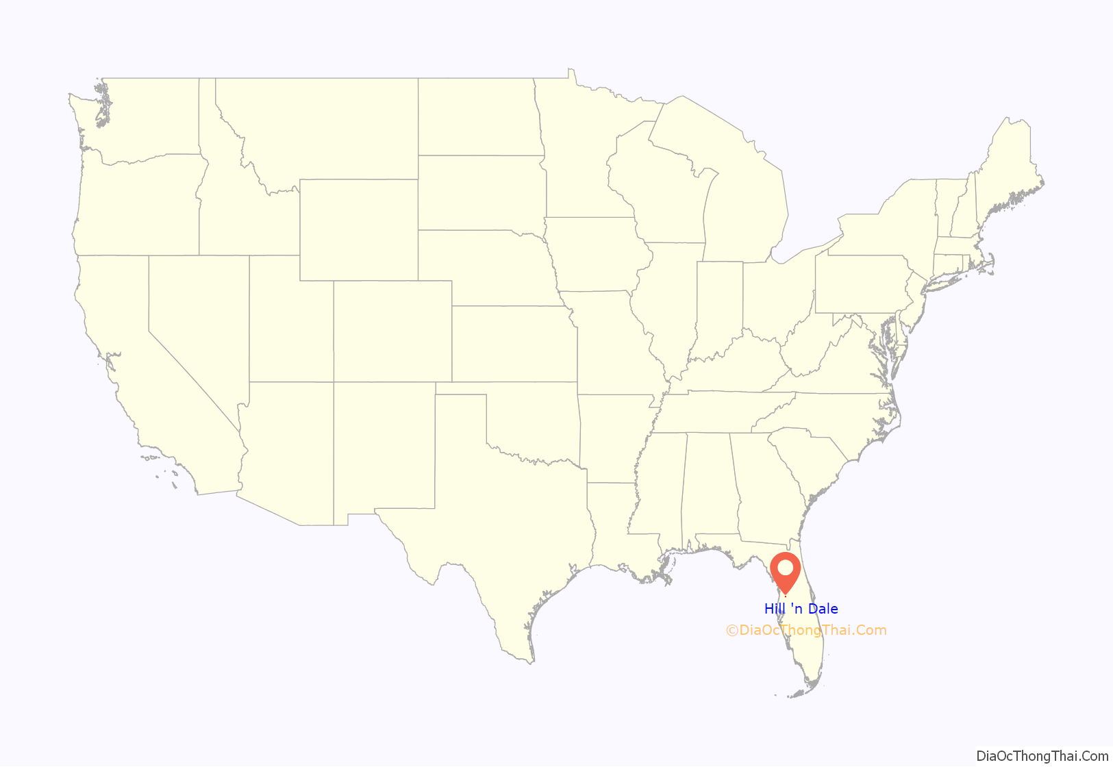
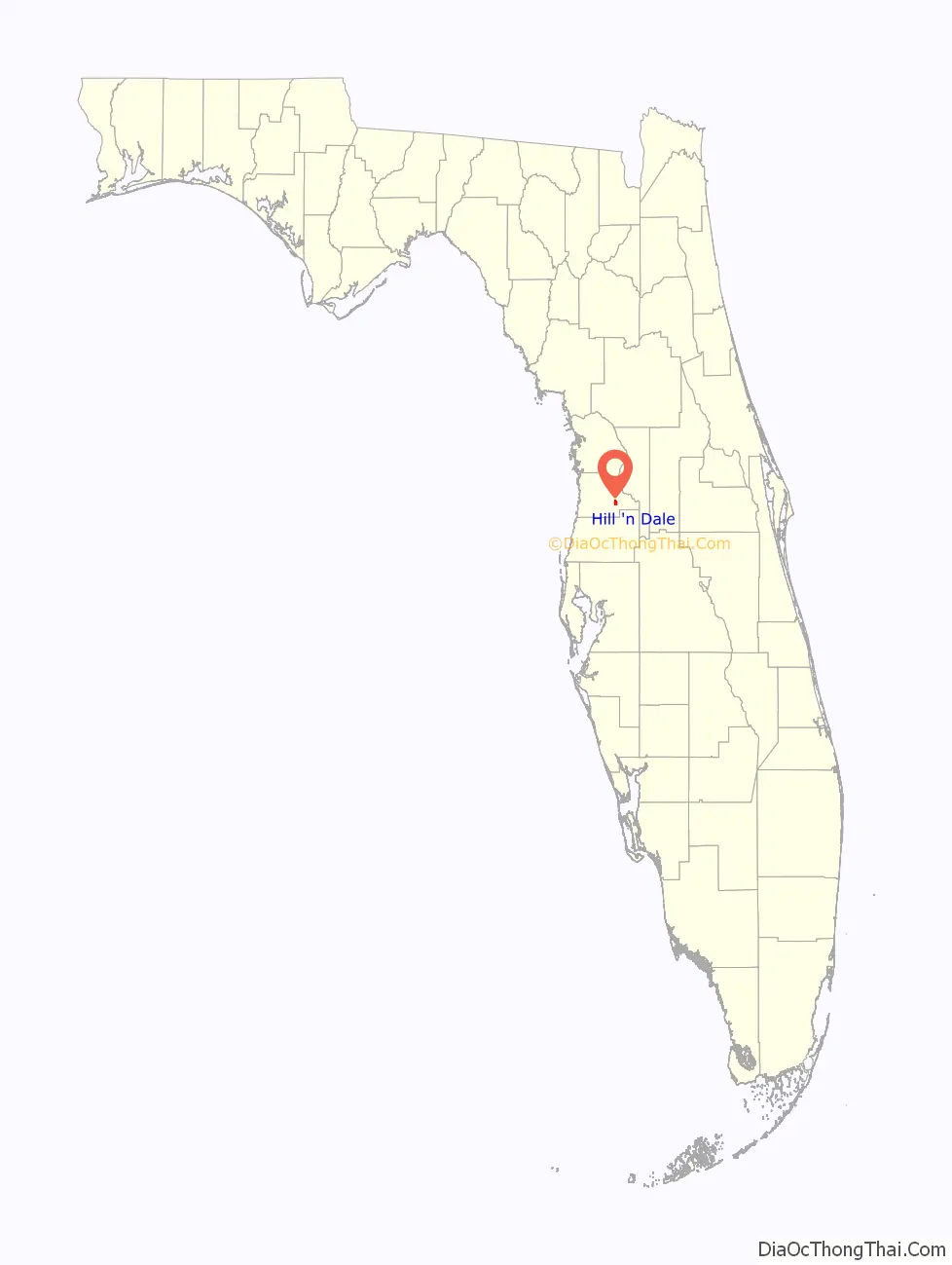
Hill ‘n Dale location map. Where is Hill ‘n Dale CDP?
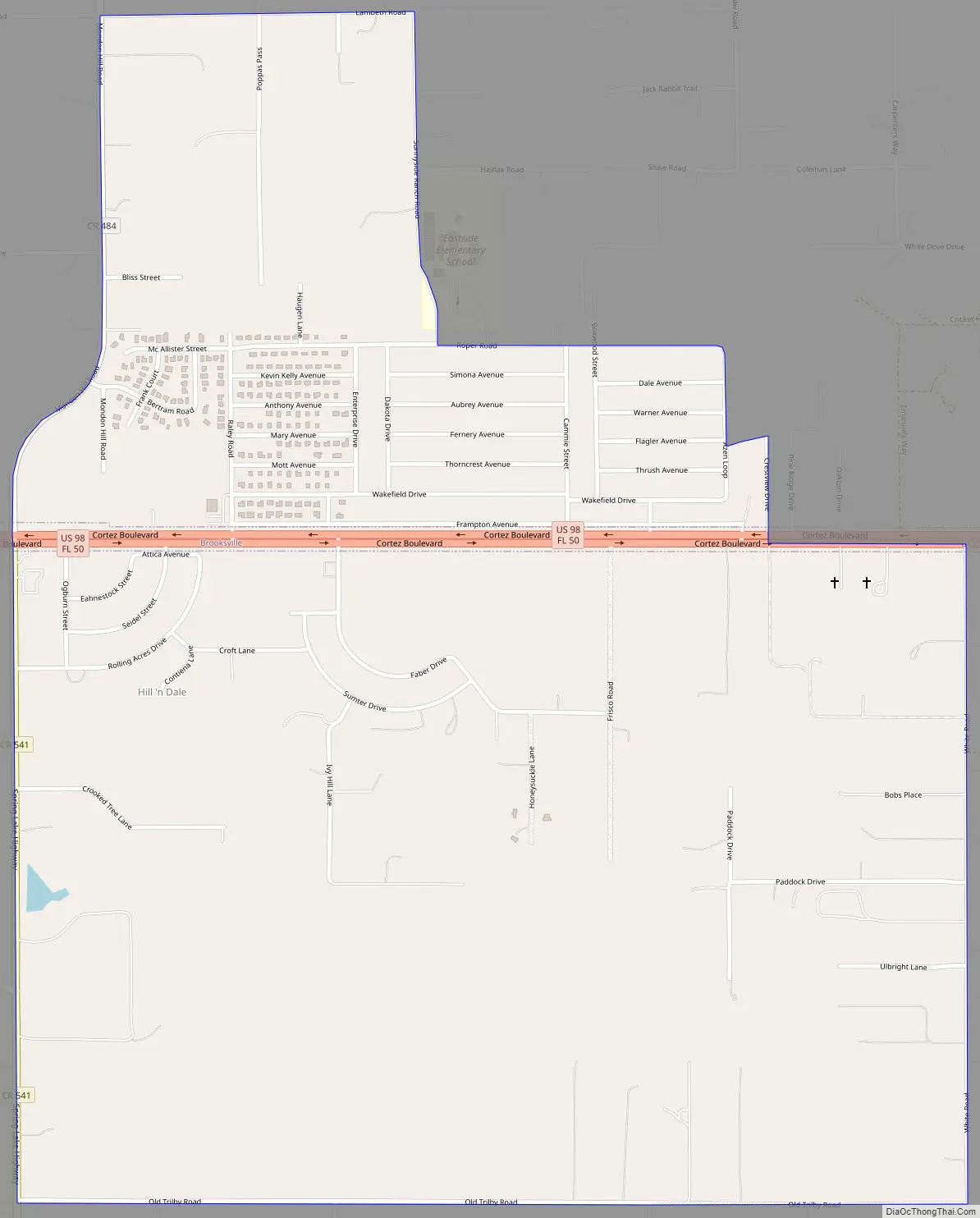
Hill ‘n Dale Road Map
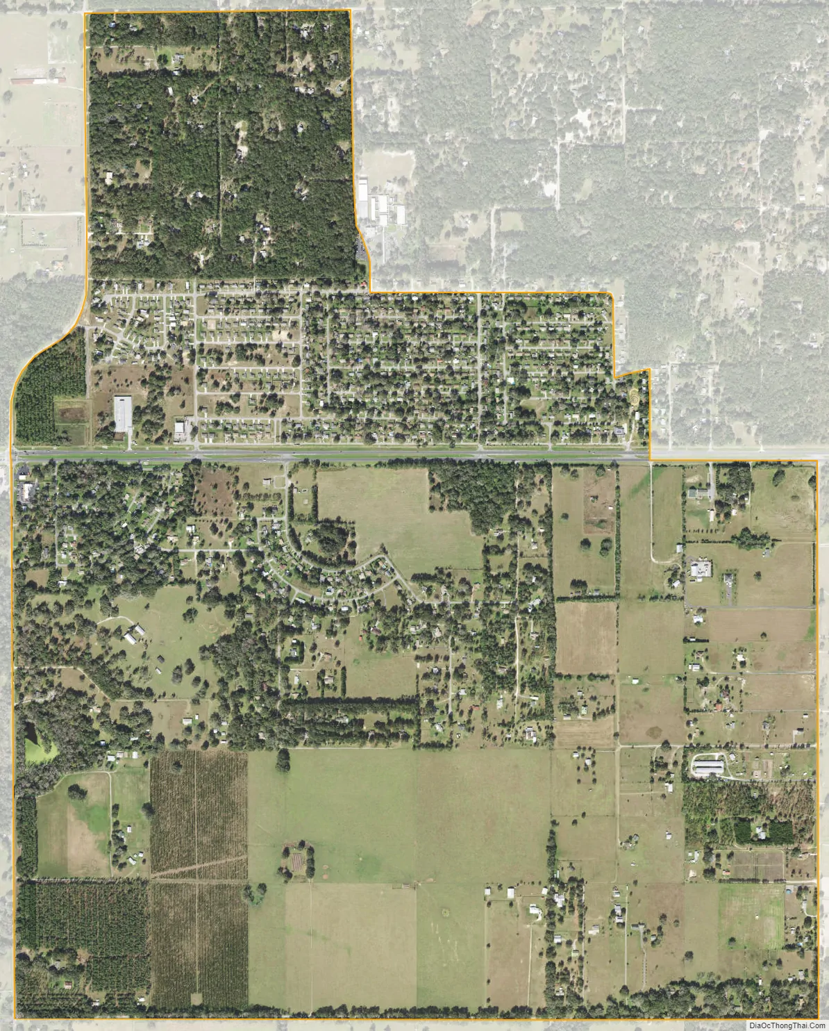
Hill ‘n Dale city Satellite Map
Geography
Hill ‘n Dale is located in eastern Hernando County at 28°31′26″N 82°17′38″W / 28.52389°N 82.29389°W / 28.52389; -82.29389 (28.523830, -82.293973), along U.S. Route 98. The older part of the community is north of the highway, but the CDP was expanded for the 2010 census to include a more lightly settled area south of the highway. US 98 leads west 6 miles (10 km) to Brooksville, the county seat, and east 3.5 miles (5.6 km) to Interstate 75 and 7 miles (11 km) to Ridge Manor. Hill ‘n Dale is 44 miles (71 km) north of Tampa and 56 miles (90 km) south of Ocala.
According to the United States Census Bureau, the CDP has a total area of 2.2 square miles (5.7 km), all land.
See also
Map of Florida State and its subdivision:- Alachua
- Baker
- Bay
- Bradford
- Brevard
- Broward
- Calhoun
- Charlotte
- Citrus
- Clay
- Collier
- Columbia
- Desoto
- Dixie
- Duval
- Escambia
- Flagler
- Franklin
- Gadsden
- Gilchrist
- Glades
- Gulf
- Hamilton
- Hardee
- Hendry
- Hernando
- Highlands
- Hillsborough
- Holmes
- Indian River
- Jackson
- Jefferson
- Lafayette
- Lake
- Lee
- Leon
- Levy
- Liberty
- Madison
- Manatee
- Marion
- Martin
- Miami-Dade
- Monroe
- Nassau
- Okaloosa
- Okeechobee
- Orange
- Osceola
- Palm Beach
- Pasco
- Pinellas
- Polk
- Putnam
- Saint Johns
- Saint Lucie
- Santa Rosa
- Sarasota
- Seminole
- Sumter
- Suwannee
- Taylor
- Union
- Volusia
- Wakulla
- Walton
- Washington
- Alabama
- Alaska
- Arizona
- Arkansas
- California
- Colorado
- Connecticut
- Delaware
- District of Columbia
- Florida
- Georgia
- Hawaii
- Idaho
- Illinois
- Indiana
- Iowa
- Kansas
- Kentucky
- Louisiana
- Maine
- Maryland
- Massachusetts
- Michigan
- Minnesota
- Mississippi
- Missouri
- Montana
- Nebraska
- Nevada
- New Hampshire
- New Jersey
- New Mexico
- New York
- North Carolina
- North Dakota
- Ohio
- Oklahoma
- Oregon
- Pennsylvania
- Rhode Island
- South Carolina
- South Dakota
- Tennessee
- Texas
- Utah
- Vermont
- Virginia
- Washington
- West Virginia
- Wisconsin
- Wyoming