Howey-In-The-Hills is a town in Lake County, Florida, United States. The population was 1,098 at the 2010 census and an estimated 1,175 in 2018. It is part of the Orlando–Kissimmee–Sanford Metropolitan Statistical Area.
| Name: | Howey-in-the-Hills town |
|---|---|
| LSAD Code: | 43 |
| LSAD Description: | town (suffix) |
| State: | Florida |
| County: | Lake County |
| Elevation: | 89 ft (27 m) |
| Total Area: | 3.67 sq mi (9.51 km²) |
| Land Area: | 3.16 sq mi (8.19 km²) |
| Water Area: | 0.51 sq mi (1.32 km²) |
| Total Population: | 1,643 |
| Population Density: | 519.77/sq mi (200.70/km²) |
| ZIP code: | 34737 |
| Area code: | 352 |
| FIPS code: | 1232775 |
| GNISfeature ID: | 2405870 |
| Website: | www.howey.org |
Online Interactive Map
Click on ![]() to view map in "full screen" mode.
to view map in "full screen" mode.
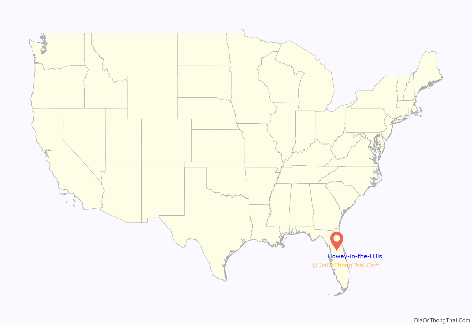
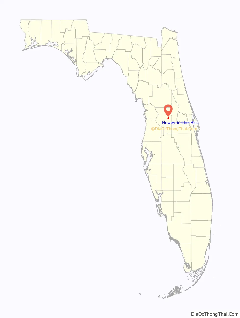
Howey-in-the-Hills location map. Where is Howey-in-the-Hills town?
History
Howey-in-the-Hills was founded by William John Howey, a citrus grower and real-estate developer. On May 8, 1925, Howey-in-the-Hills was incorporated as the Town of Howey. In 1927 the name was officially changed to Howey-in-the-Hills, to reflect the location of the town in an area of rolling hills.
The first citrus juice plant in Florida was built in Howey-in-the-Hills by William John Howey in 1921.
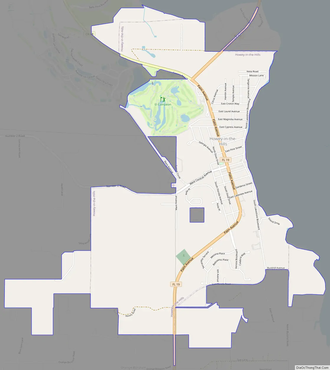
Howey-in-the-Hills Road Map
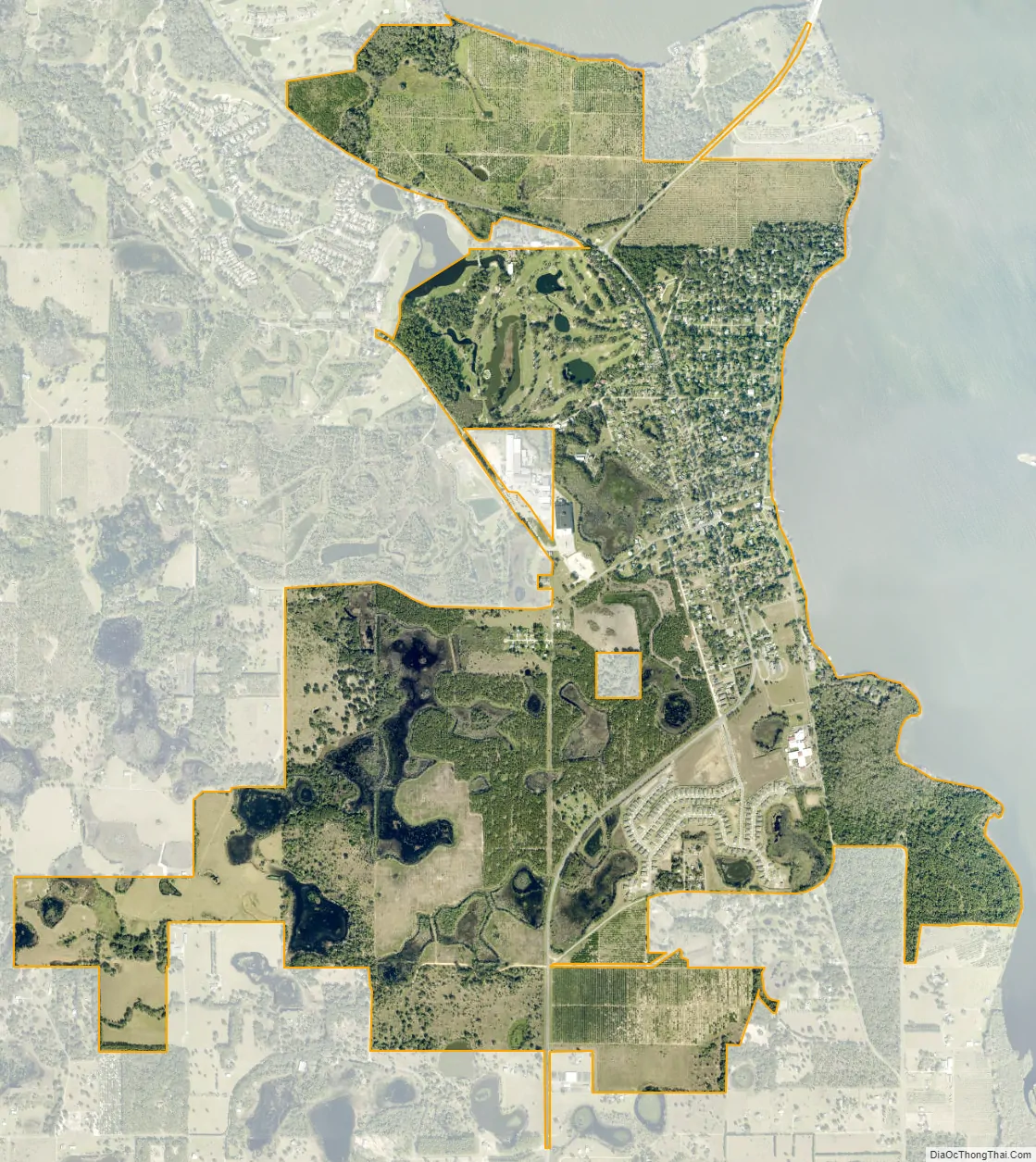
Howey-in-the-Hills city Satellite Map
Geography
Howey-in-the-Hills is located in central Lake County at 28°42′58″N 81°46′28″W / 28.71611°N 81.77444°W / 28.71611; -81.77444 (28.716221, –81.774540). It sits on the west shore of Little Lake Harris, an arm of Lake Harris. The town is bordered to the northwest by the unincorporated community of Yalaha.
Florida State Road 19 passes through the town as Palm Avenue. It leads north across Little Lake Harris and leads 8 miles (13 km) to Tavares, the Lake county seat. To the south SR 19 leads 13 miles (21 km) to Groveland.
According to the United States Census Bureau, Howey-in-the-Hills has a total area of 3.7 square miles (9.5 km), of which 3.2 square miles (8.2 km) are land and 0.50 square miles (1.3 km), or 13.9%, are water.
See also
Map of Florida State and its subdivision:- Alachua
- Baker
- Bay
- Bradford
- Brevard
- Broward
- Calhoun
- Charlotte
- Citrus
- Clay
- Collier
- Columbia
- Desoto
- Dixie
- Duval
- Escambia
- Flagler
- Franklin
- Gadsden
- Gilchrist
- Glades
- Gulf
- Hamilton
- Hardee
- Hendry
- Hernando
- Highlands
- Hillsborough
- Holmes
- Indian River
- Jackson
- Jefferson
- Lafayette
- Lake
- Lee
- Leon
- Levy
- Liberty
- Madison
- Manatee
- Marion
- Martin
- Miami-Dade
- Monroe
- Nassau
- Okaloosa
- Okeechobee
- Orange
- Osceola
- Palm Beach
- Pasco
- Pinellas
- Polk
- Putnam
- Saint Johns
- Saint Lucie
- Santa Rosa
- Sarasota
- Seminole
- Sumter
- Suwannee
- Taylor
- Union
- Volusia
- Wakulla
- Walton
- Washington
- Alabama
- Alaska
- Arizona
- Arkansas
- California
- Colorado
- Connecticut
- Delaware
- District of Columbia
- Florida
- Georgia
- Hawaii
- Idaho
- Illinois
- Indiana
- Iowa
- Kansas
- Kentucky
- Louisiana
- Maine
- Maryland
- Massachusetts
- Michigan
- Minnesota
- Mississippi
- Missouri
- Montana
- Nebraska
- Nevada
- New Hampshire
- New Jersey
- New Mexico
- New York
- North Carolina
- North Dakota
- Ohio
- Oklahoma
- Oregon
- Pennsylvania
- Rhode Island
- South Carolina
- South Dakota
- Tennessee
- Texas
- Utah
- Vermont
- Virginia
- Washington
- West Virginia
- Wisconsin
- Wyoming


