Jan Phyl Village is a census-designated place (CDP) in Polk County, Florida, United States. The population was 5,633 at the 2000 census. It is part of the Lakeland–Winter Haven Metropolitan Statistical Area.
| Name: | Jan Phyl Village CDP |
|---|---|
| LSAD Code: | 57 |
| LSAD Description: | CDP (suffix) |
| State: | Florida |
| County: | Polk County |
| Elevation: | 154 ft (47 m) |
| Total Area: | 4.72 sq mi (12.22 km²) |
| Land Area: | 4.57 sq mi (11.85 km²) |
| Water Area: | 0.14 sq mi (0.37 km²) |
| Total Population: | 5,927 |
| Population Density: | 1,295.80/sq mi (500.28/km²) |
| ZIP code: | 33880 |
| Area code: | 863 |
| FIPS code: | 1235300 |
| GNISfeature ID: | 0284719 |
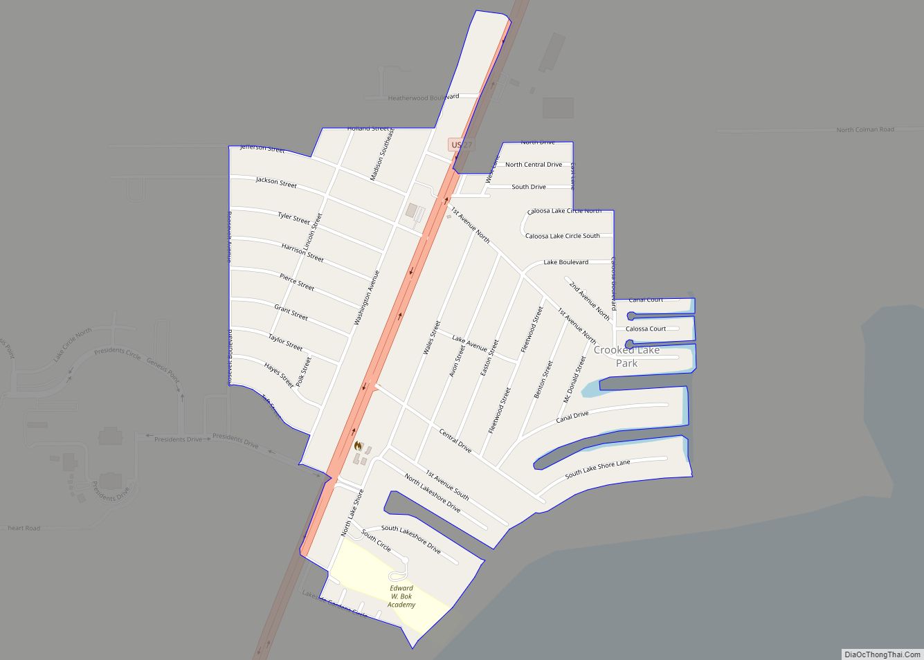
Online Interactive Map
Click on ![]() to view map in "full screen" mode.
to view map in "full screen" mode.
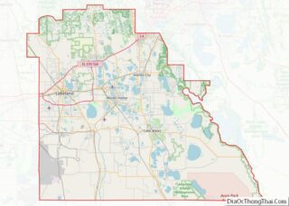
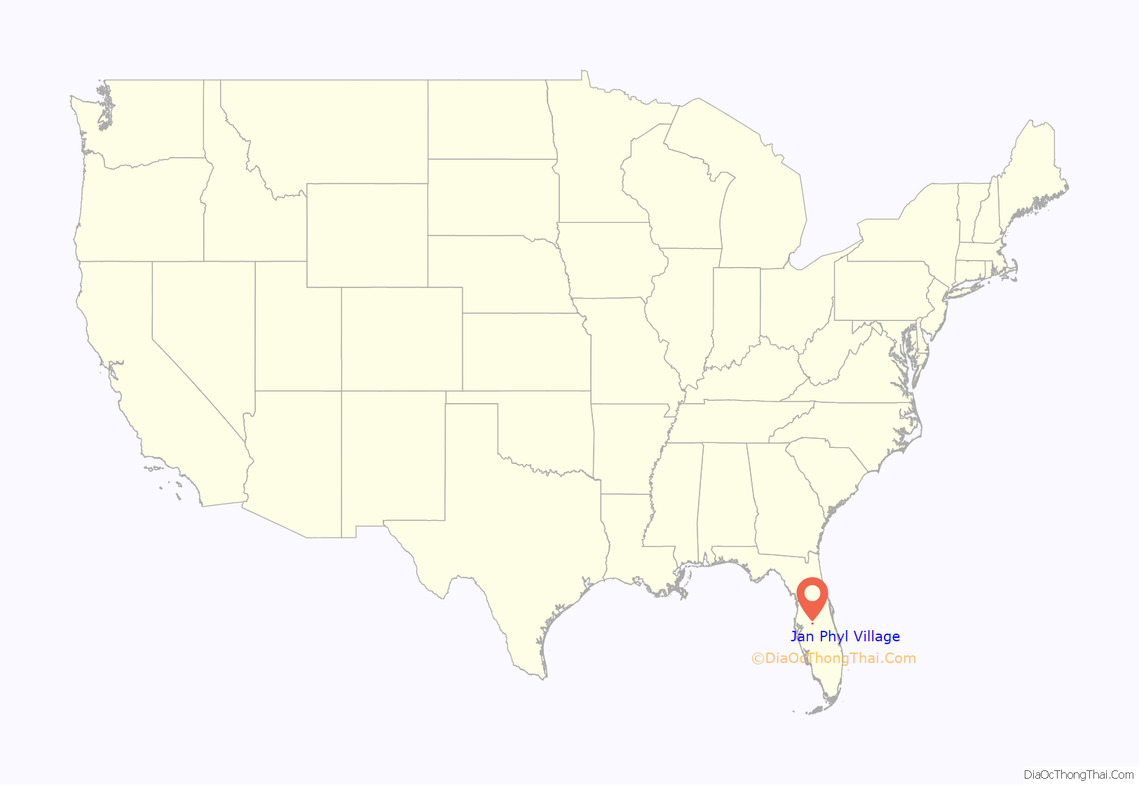
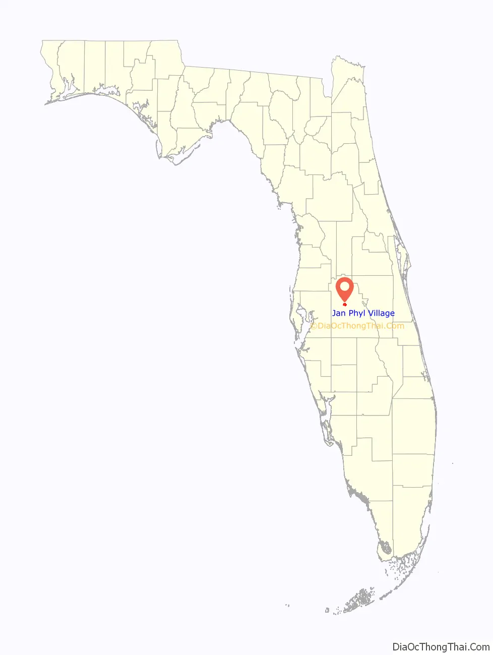
Jan Phyl Village location map. Where is Jan Phyl Village CDP?
History
Jan Phyl Village was formed from a purchase in 1950 of 1,200 acres of land west of Winter Haven, purchased by Harry Lesnick of Vermont. He christened the area Jan Phyl Village after his daughters, Janet and Phyllis Lesnick. Most of the early development was real estate, sold to airmen and pilot instructors stationed at the nearby Bartow Air Base during the Korean War. The area suffered its first recession in 1953 at the cessation of U.S. military activity in Korea, leading to many homes being foreclosed. The area remains economically depressed as of 2014, with many closed storefronts. If a proposed transportation improvement program planned by the Polk Transportation Planning Organization is approved, major thoroughfares in the area will be widened by 2030 to accommodate additional traffic.
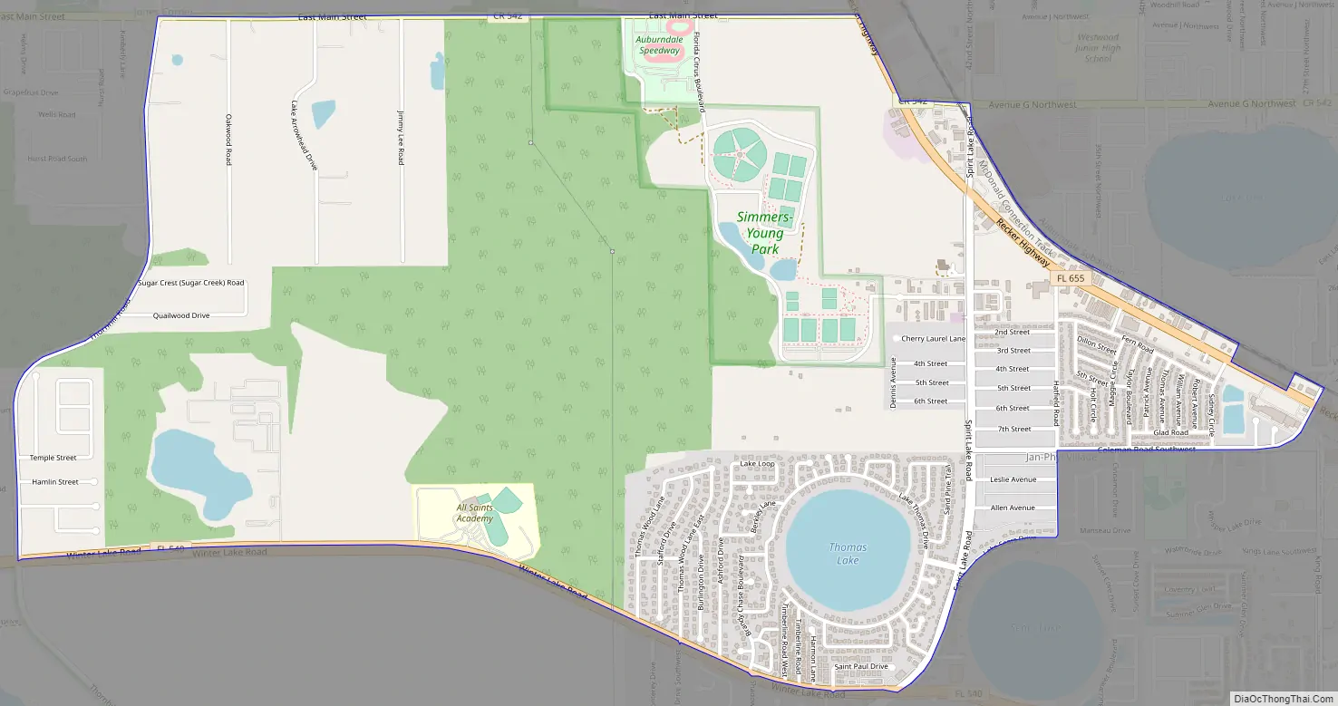
Jan Phyl Village Road Map
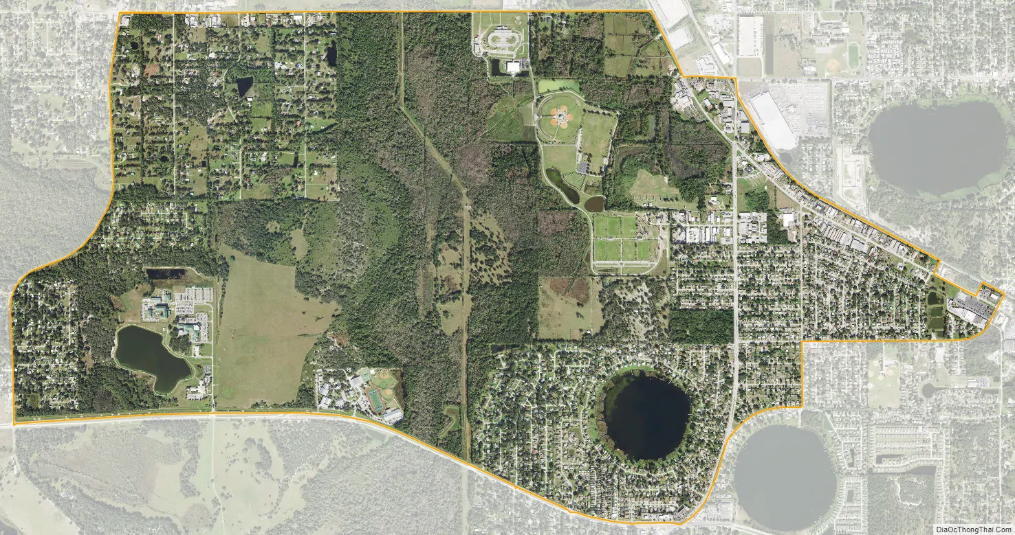
Jan Phyl Village city Satellite Map
Geography
Jan Phyl Village is located at 28°1′1″N 81°46′40″W / 28.01694°N 81.77778°W / 28.01694; -81.77778 (28.017059, -81.777810).
According to the United States Census Bureau, the CDP has a total area of 4.8 square miles (12 km), of which 4.7 square miles (12 km) is land and 0.1 square miles (0.26 km) (2.28%) is water.
See also
Map of Florida State and its subdivision:- Alachua
- Baker
- Bay
- Bradford
- Brevard
- Broward
- Calhoun
- Charlotte
- Citrus
- Clay
- Collier
- Columbia
- Desoto
- Dixie
- Duval
- Escambia
- Flagler
- Franklin
- Gadsden
- Gilchrist
- Glades
- Gulf
- Hamilton
- Hardee
- Hendry
- Hernando
- Highlands
- Hillsborough
- Holmes
- Indian River
- Jackson
- Jefferson
- Lafayette
- Lake
- Lee
- Leon
- Levy
- Liberty
- Madison
- Manatee
- Marion
- Martin
- Miami-Dade
- Monroe
- Nassau
- Okaloosa
- Okeechobee
- Orange
- Osceola
- Palm Beach
- Pasco
- Pinellas
- Polk
- Putnam
- Saint Johns
- Saint Lucie
- Santa Rosa
- Sarasota
- Seminole
- Sumter
- Suwannee
- Taylor
- Union
- Volusia
- Wakulla
- Walton
- Washington
- Alabama
- Alaska
- Arizona
- Arkansas
- California
- Colorado
- Connecticut
- Delaware
- District of Columbia
- Florida
- Georgia
- Hawaii
- Idaho
- Illinois
- Indiana
- Iowa
- Kansas
- Kentucky
- Louisiana
- Maine
- Maryland
- Massachusetts
- Michigan
- Minnesota
- Mississippi
- Missouri
- Montana
- Nebraska
- Nevada
- New Hampshire
- New Jersey
- New Mexico
- New York
- North Carolina
- North Dakota
- Ohio
- Oklahoma
- Oregon
- Pennsylvania
- Rhode Island
- South Carolina
- South Dakota
- Tennessee
- Texas
- Utah
- Vermont
- Virginia
- Washington
- West Virginia
- Wisconsin
- Wyoming