Kendall West is a census-designated place and unincorporated community in Miami-Dade County, Florida, west of the Florida Turnpike. The population was 36,536 at the 2020 census.
| Name: | Kendall West CDP |
|---|---|
| LSAD Code: | 57 |
| LSAD Description: | CDP (suffix) |
| State: | Florida |
| County: | Miami-Dade County |
| Elevation: | 8 ft (2 m) |
| Total Area: | 3.01 sq mi (7.80 km²) |
| Land Area: | 2.75 sq mi (7.13 km²) |
| Water Area: | 0.26 sq mi (0.67 km²) |
| Total Population: | 36,536 |
| Population Density: | 13,276.16/sq mi (5,126.32/km²) |
| FIPS code: | 1236121 |
Online Interactive Map
Click on ![]() to view map in "full screen" mode.
to view map in "full screen" mode.
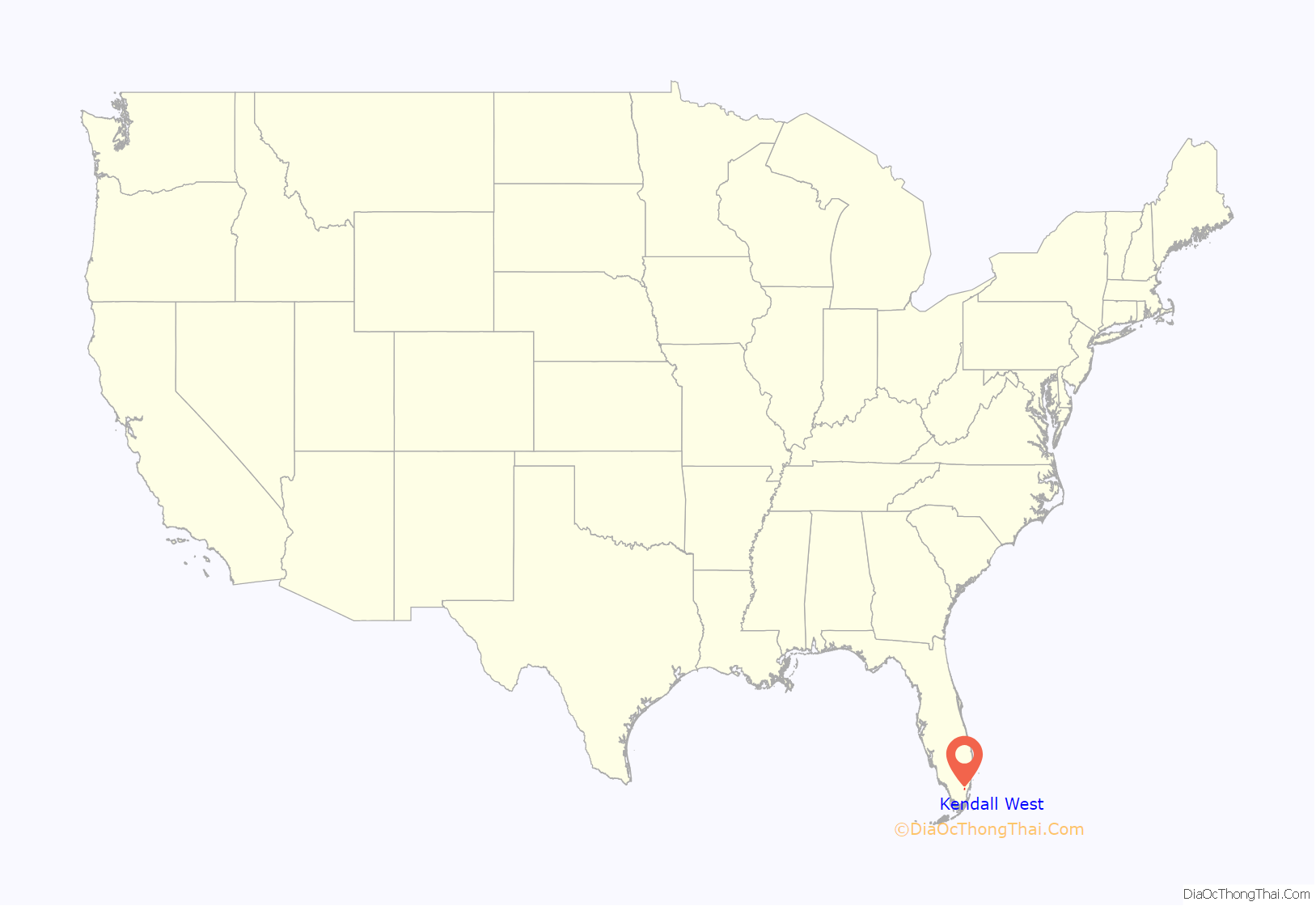
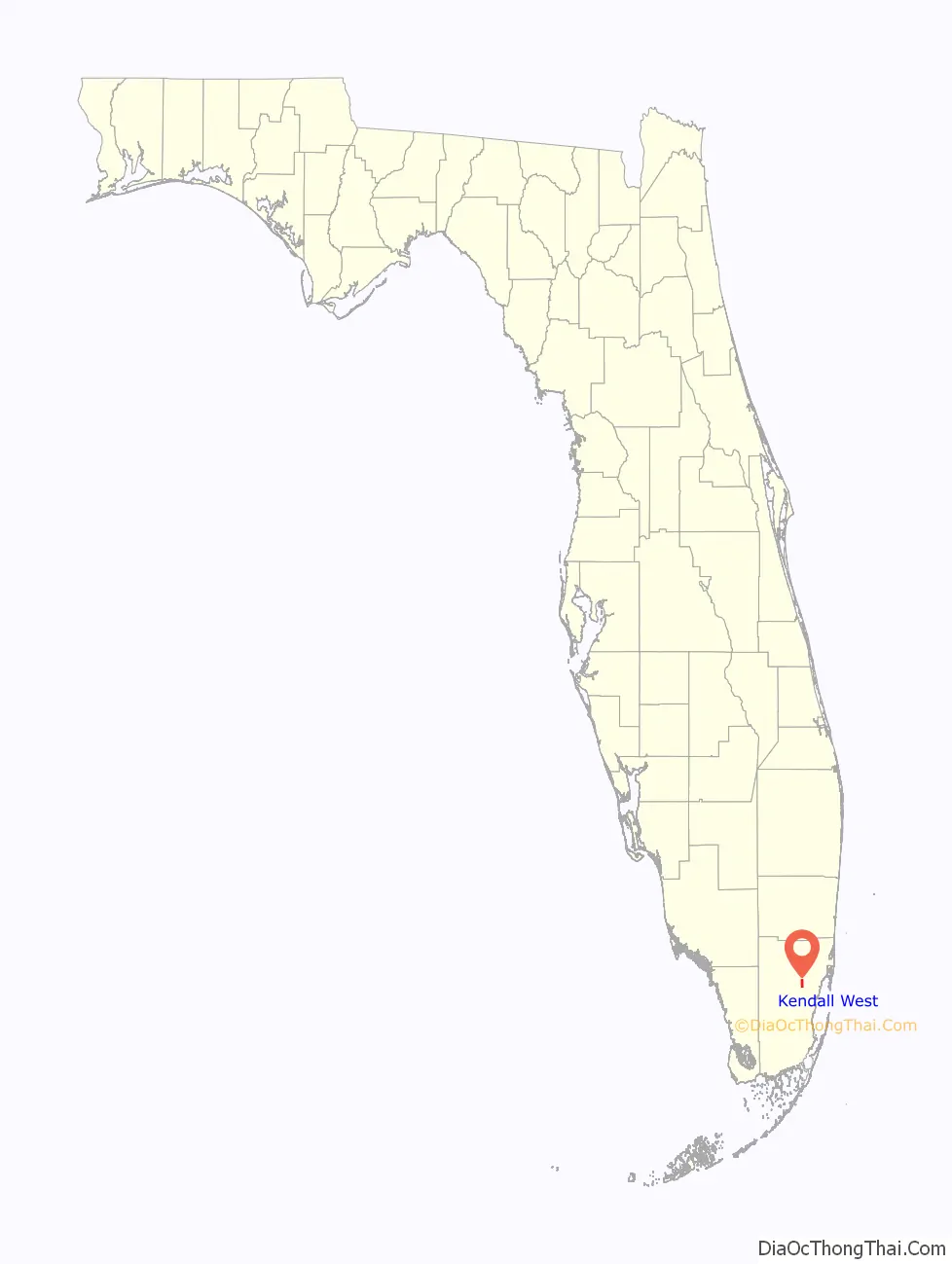
Kendall West location map. Where is Kendall West CDP?
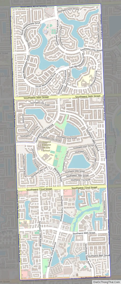
Kendall West Road Map
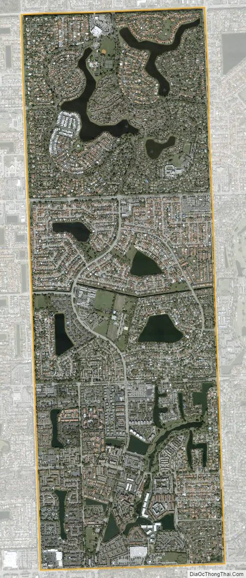
Kendall West city Satellite Map
Geography
Kendall West is located 17 miles (27 km) west-southwest of downtown Miami at 25°42′20″N 80°26′26″W / 25.70556°N 80.44056°W / 25.70556; -80.44056 (25.705499, -80.440526). It is bordered to the east by Kendale Lakes, to the south by The Hammocks, and to the west and north by farmland or undeveloped land.
According to the United States Census Bureau, the census area has a total area of 3.01 square miles (7.8 km), of which 2.75 square miles (7.1 km) are land and 0.26 square miles (0.67 km), or 8.57%, are water.
See also
Map of Florida State and its subdivision:- Alachua
- Baker
- Bay
- Bradford
- Brevard
- Broward
- Calhoun
- Charlotte
- Citrus
- Clay
- Collier
- Columbia
- Desoto
- Dixie
- Duval
- Escambia
- Flagler
- Franklin
- Gadsden
- Gilchrist
- Glades
- Gulf
- Hamilton
- Hardee
- Hendry
- Hernando
- Highlands
- Hillsborough
- Holmes
- Indian River
- Jackson
- Jefferson
- Lafayette
- Lake
- Lee
- Leon
- Levy
- Liberty
- Madison
- Manatee
- Marion
- Martin
- Miami-Dade
- Monroe
- Nassau
- Okaloosa
- Okeechobee
- Orange
- Osceola
- Palm Beach
- Pasco
- Pinellas
- Polk
- Putnam
- Saint Johns
- Saint Lucie
- Santa Rosa
- Sarasota
- Seminole
- Sumter
- Suwannee
- Taylor
- Union
- Volusia
- Wakulla
- Walton
- Washington
- Alabama
- Alaska
- Arizona
- Arkansas
- California
- Colorado
- Connecticut
- Delaware
- District of Columbia
- Florida
- Georgia
- Hawaii
- Idaho
- Illinois
- Indiana
- Iowa
- Kansas
- Kentucky
- Louisiana
- Maine
- Maryland
- Massachusetts
- Michigan
- Minnesota
- Mississippi
- Missouri
- Montana
- Nebraska
- Nevada
- New Hampshire
- New Jersey
- New Mexico
- New York
- North Carolina
- North Dakota
- Ohio
- Oklahoma
- Oregon
- Pennsylvania
- Rhode Island
- South Carolina
- South Dakota
- Tennessee
- Texas
- Utah
- Vermont
- Virginia
- Washington
- West Virginia
- Wisconsin
- Wyoming


