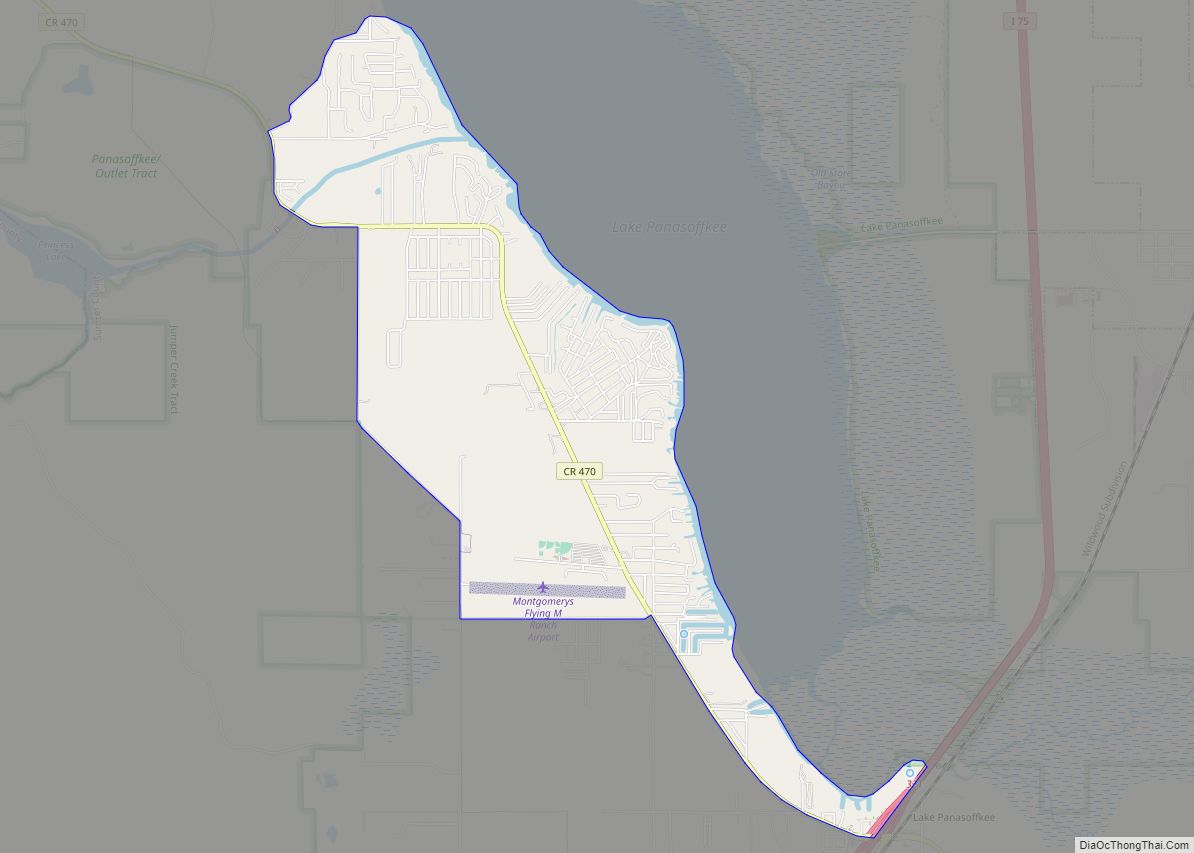
Lake Panasoffkee is a census-designated place (CDP) in Sumter County, Florida, United States. The population was 3,551 at the 2010 census.
| Name: | Lake Panasoffkee CDP |
|---|---|
| LSAD Code: | 57 |
| LSAD Description: | CDP (suffix) |
| State: | Florida |
| County: | Sumter County |
| Elevation: | 59 ft (18 m) |
| Total Area: | 6.60 sq mi (17.10 km²) |
| Land Area: | 4.30 sq mi (11.14 km²) |
| Water Area: | 2.30 sq mi (5.96 km²) |
| Total Population: | 4,072 |
| Population Density: | 946.98/sq mi (365.65/km²) |
| ZIP code: | 33538 |
| Area code: | 352 |
| FIPS code: | 1238575 |
| GNISfeature ID: | 0285267 |
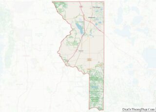
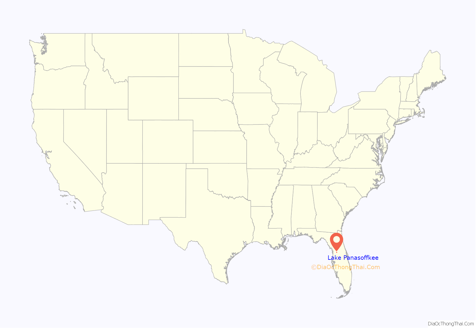
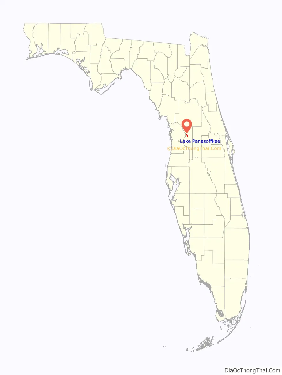
Online Interactive Map
Click on ![]() to view map in "full screen" mode.
to view map in "full screen" mode.
Lake Panasoffkee location map. Where is Lake Panasoffkee CDP?
History
Early inhabitants
Boggy Island was an autonomous black Seminole village that was settled by Central African slaves from Kongo. Black Seminoles settled near the Boggy Island area of Lake Panasoffkee around 1813 and named it Sitarkey’s Village after Sitarkey, an Alachua Seminole who had settled in the area. Nearby laid the areas of Gum Slough and Indian Mound Springs. The Seminoles used the Lake Panasoffkee area to hold councils and Green Corn Dances.
The black Seminoles raised corn, rice, and sugar cane which Dexter gave them in 1822. In addition, residents in Sitarkey’s Village raised livestock, including cattle, horses, and hogs. They also possibly planted one of the oldest orange groves in Florida.
Second Seminole War
Generally, the Sitakey’s Village area was untouched during the Second Seminole War, allowing black Seminole families to use the area as a refuge from the war. The United States Army, however, did search the village twice. Looking for Seminole warriors, the Second and Eighth Infantry divisions, led by Colonel Bennet Riley and Colonel W. J. Worth, traveled from Fort McClure to the Lake Panasoffkee area on June 10, 1840. On the morning of June 11, the troops found an empty village. After the battle of Wahoo Swamp, Osceola, possibly suffering from the effects of malaria that he contracted during the Seminole occupation of Fort Drane moved to the Panasoffkee Swamp to live with the black Seminoles who regarded him with devotion. On January 10, 1837, General Thomas Sidney Jesup, looking for Osceola, raided the village. Osceola and three warriors fled. Jesup captured 16 black Seminoles while the rest of the village escaped. In all, Osceola, 50 warriors, and their families left for the headwaters of the Ocklawaha River. Twelve days later, Jesup led his troops from Fort Armstrong to the Ocklawaha River.
Modern town
According to Broward Mill, the past president of the Sumter County Historical Society, Lake Panasoffkee from the time that Sumter County was settled by whites until damaging freezes which wiped out the area’s citrus industry in the 1880s and 1890s.
Charles G. King, a Cleveland entrepreneur, bought 2,500 acres (square kilometers) in Lake Panasoffkee and developed 737 acres (square kilometers) into Monarch Grove in 1908. An oak hammock on the property was left undisturbed. King and his employees used the sour oranges planted by the Seminoles for orange stock. In 1926, the grove produced about 40,000 boxes of oranges.
Among the evidence was a group of house foundations and chimneys located in places where there were no known white settlers. County officials later believed that the cemetery was a family cemetery as the newer marked graves listed the names of the few people known to be buried there.
Lake Panasoffkee dredging
According to Florida Fish and Wildlife Conservation commissioners Bob Wattendorf and Marty Hale, Lake Panasoffkee had 15 fish camps and was considered to be one of the state’s best places to fish.
In 1981, water levels in Lake Panasoffkee dropped to levels that had not been seen since 1962, the year the Wysong Dam was built. Southwest Florida Water Management District officials discussed the construction of a temporary dam to elevate water levels. Lake Panasoffkee residents believed that the Wysong Dam contributed to the destruction of the Withlacoochee River.
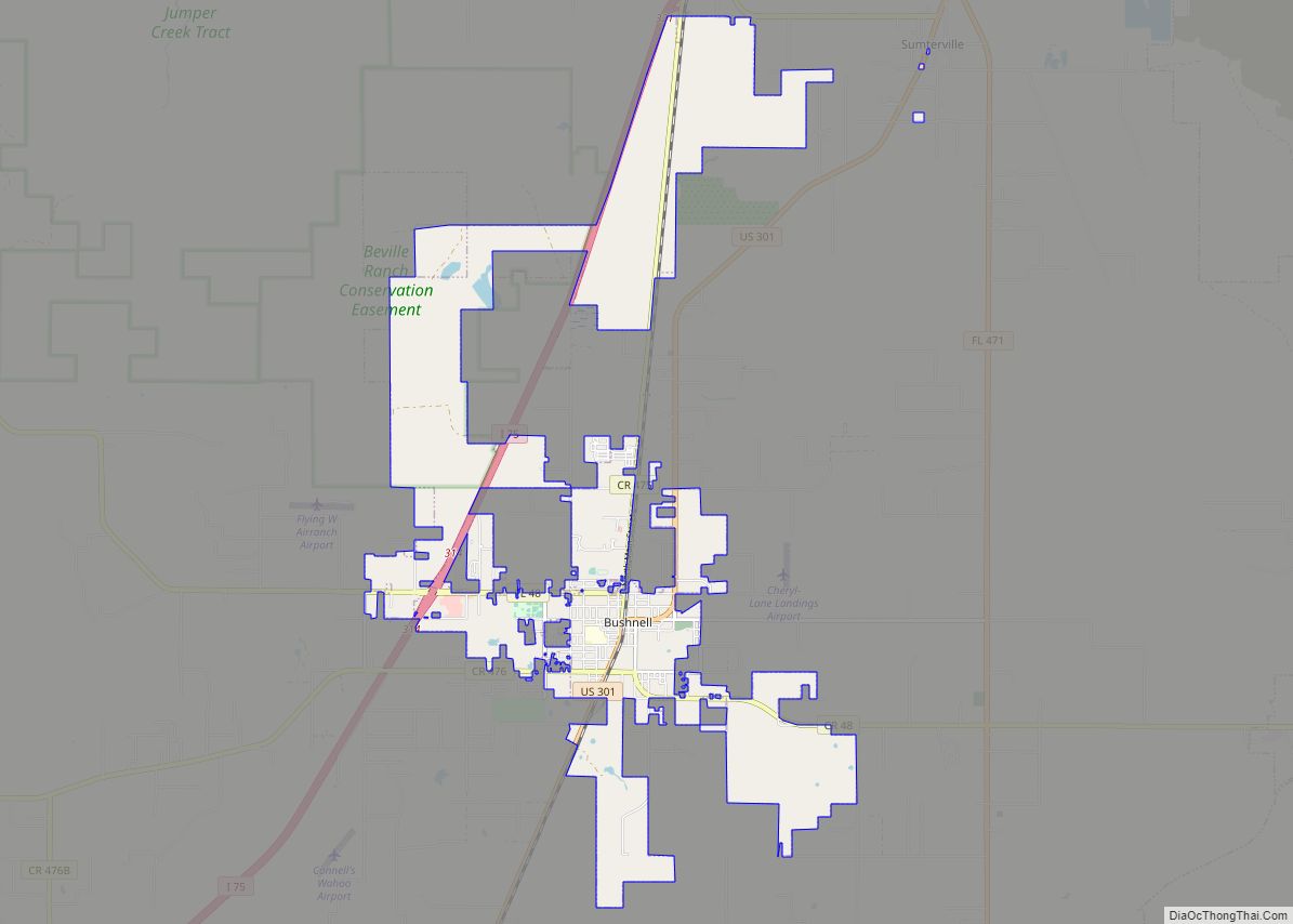
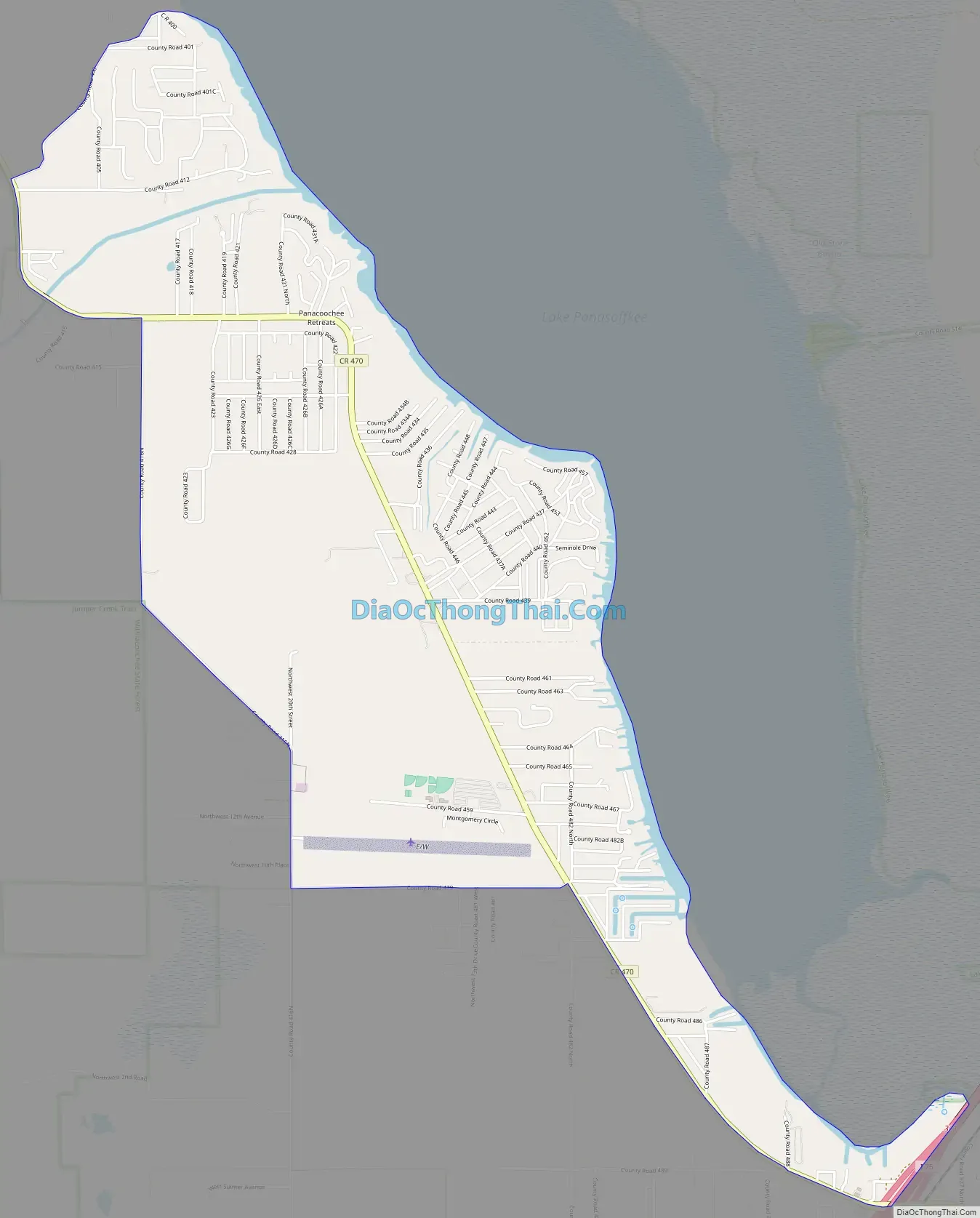
Lake Panasoffkee Road Map
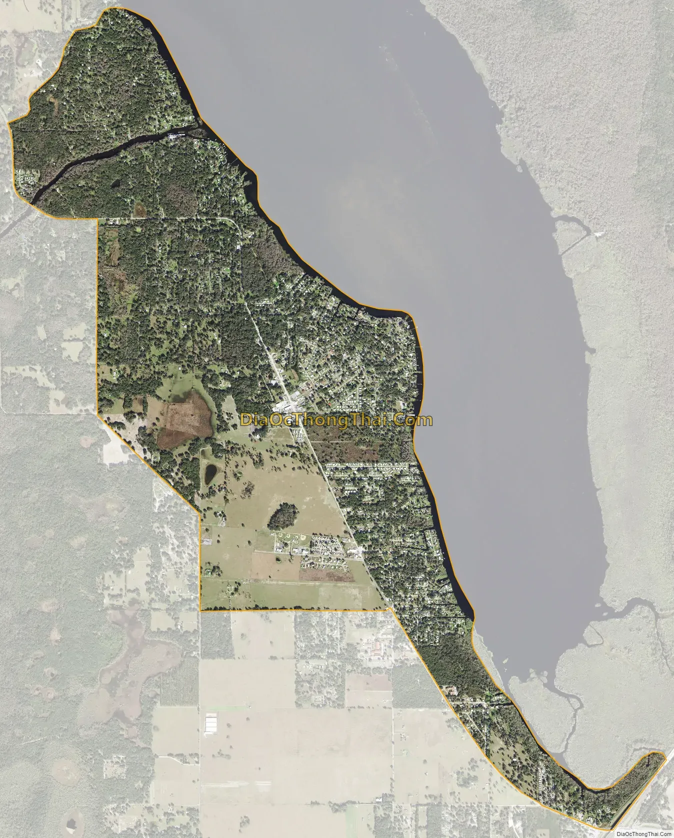
Lake Panasoffkee city Satellite Map
Geography
According to the United States Census Bureau, the CDP has a total area of 4.1 square miles (11 km), of which 4.0 square miles (10 km) is land and 0.25% is water.
See also
Map of Florida State and its subdivision:- Alachua
- Baker
- Bay
- Bradford
- Brevard
- Broward
- Calhoun
- Charlotte
- Citrus
- Clay
- Collier
- Columbia
- Desoto
- Dixie
- Duval
- Escambia
- Flagler
- Franklin
- Gadsden
- Gilchrist
- Glades
- Gulf
- Hamilton
- Hardee
- Hendry
- Hernando
- Highlands
- Hillsborough
- Holmes
- Indian River
- Jackson
- Jefferson
- Lafayette
- Lake
- Lee
- Leon
- Levy
- Liberty
- Madison
- Manatee
- Marion
- Martin
- Miami-Dade
- Monroe
- Nassau
- Okaloosa
- Okeechobee
- Orange
- Osceola
- Palm Beach
- Pasco
- Pinellas
- Polk
- Putnam
- Saint Johns
- Saint Lucie
- Santa Rosa
- Sarasota
- Seminole
- Sumter
- Suwannee
- Taylor
- Union
- Volusia
- Wakulla
- Walton
- Washington
- Alabama
- Alaska
- Arizona
- Arkansas
- California
- Colorado
- Connecticut
- Delaware
- District of Columbia
- Florida
- Georgia
- Hawaii
- Idaho
- Illinois
- Indiana
- Iowa
- Kansas
- Kentucky
- Louisiana
- Maine
- Maryland
- Massachusetts
- Michigan
- Minnesota
- Mississippi
- Missouri
- Montana
- Nebraska
- Nevada
- New Hampshire
- New Jersey
- New Mexico
- New York
- North Carolina
- North Dakota
- Ohio
- Oklahoma
- Oregon
- Pennsylvania
- Rhode Island
- South Carolina
- South Dakota
- Tennessee
- Texas
- Utah
- Vermont
- Virginia
- Washington
- West Virginia
- Wisconsin
- Wyoming