Lake Park is a town in Palm Beach County, Florida, United States. The population was 8,155 at the 2010 census. As of 2018, the population recorded by the U.S. Census Bureau was 8,605. Lake Park is part of the Miami Metropolitan Area
| Name: | Lake Park town |
|---|---|
| LSAD Code: | 43 |
| LSAD Description: | town (suffix) |
| State: | Florida |
| County: | Palm Beach County |
| Elevation: | 13 ft (4 m) |
| Total Area: | 2.44 sq mi (6.31 km²) |
| Land Area: | 2.08 sq mi (5.40 km²) |
| Water Area: | 0.35 sq mi (0.91 km²) |
| Total Population: | 9,047 |
| Population Density: | 4,339.09/sq mi (1,675.43/km²) |
| ZIP code: | 33403, 33408, 33410 |
| Area code: | 561 |
| FIPS code: | 1238600 |
| GNISfeature ID: | 0285268 |
| Website: | www.lakeparkflorida.gov |
Online Interactive Map
Click on ![]() to view map in "full screen" mode.
to view map in "full screen" mode.
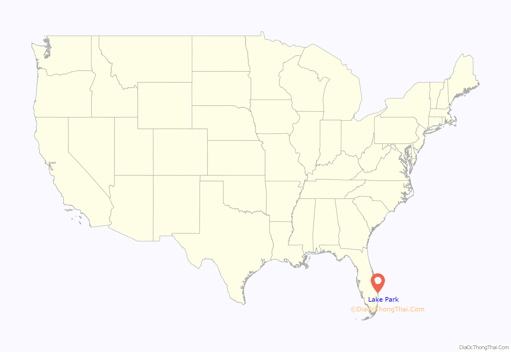
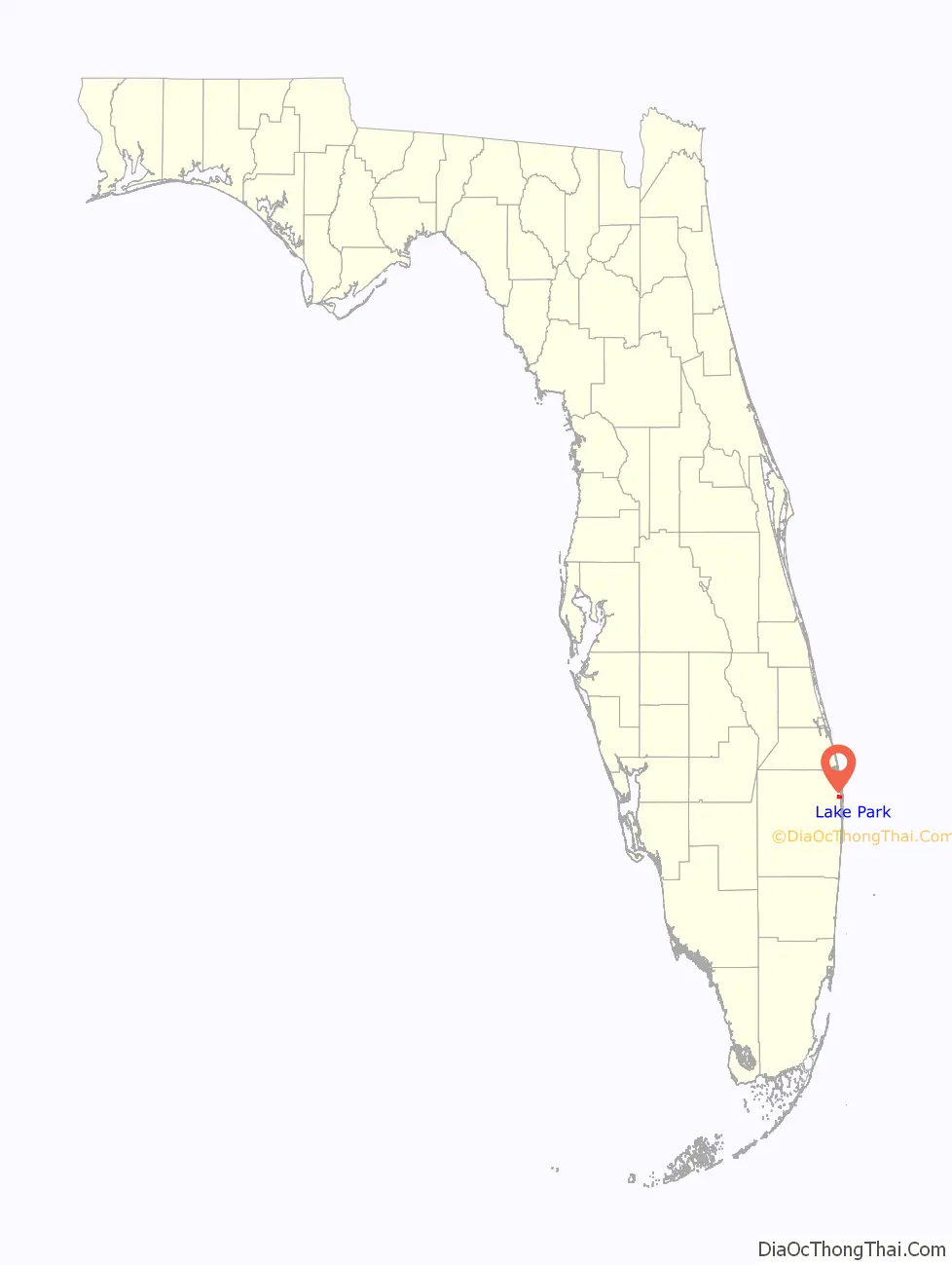
Lake Park location map. Where is Lake Park town?
History
Kelsey City, now known as Lake Park, was the first zoned municipality in the State of Florida. It was designed and planned by Dr. John Nolan of Boston, Massachusetts, and the Olmsted Brothers, the landscaping firm of Frederick Law Olmsted’s sons, Frederick Jr and John Charles. Since then, the boundaries of Lake Park have expanded to 2.35 square miles (6.1 km) of residential, business, industrial and mixed-use land. The Lake Park Town Hall, constructed in 1927 and listed on the National Register of Historic Places, survived the 1928 Okeechobee hurricane and served as a shelter for town residents during the storm.
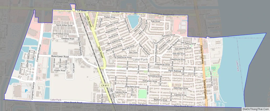
Lake Park Road Map
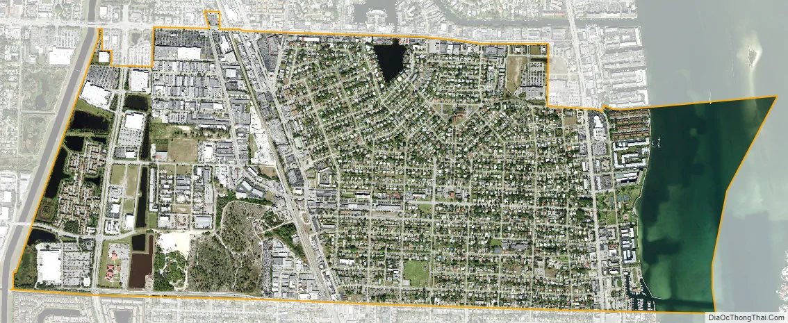
Lake Park city Satellite Map
Geography
Lake Park is located at 26°48′1″N 80°3′51″W / 26.80028°N 80.06417°W / 26.80028; -80.06417 (26.800389, –80.064237).
According to the United States Census Bureau, the town has a total area of 2.3 square miles (6.0 km), of which 2.2 square miles (5.7 km) is land and 0.2 square miles (0.52 km) (7.66%) is water.
See also
Map of Florida State and its subdivision:- Alachua
- Baker
- Bay
- Bradford
- Brevard
- Broward
- Calhoun
- Charlotte
- Citrus
- Clay
- Collier
- Columbia
- Desoto
- Dixie
- Duval
- Escambia
- Flagler
- Franklin
- Gadsden
- Gilchrist
- Glades
- Gulf
- Hamilton
- Hardee
- Hendry
- Hernando
- Highlands
- Hillsborough
- Holmes
- Indian River
- Jackson
- Jefferson
- Lafayette
- Lake
- Lee
- Leon
- Levy
- Liberty
- Madison
- Manatee
- Marion
- Martin
- Miami-Dade
- Monroe
- Nassau
- Okaloosa
- Okeechobee
- Orange
- Osceola
- Palm Beach
- Pasco
- Pinellas
- Polk
- Putnam
- Saint Johns
- Saint Lucie
- Santa Rosa
- Sarasota
- Seminole
- Sumter
- Suwannee
- Taylor
- Union
- Volusia
- Wakulla
- Walton
- Washington
- Alabama
- Alaska
- Arizona
- Arkansas
- California
- Colorado
- Connecticut
- Delaware
- District of Columbia
- Florida
- Georgia
- Hawaii
- Idaho
- Illinois
- Indiana
- Iowa
- Kansas
- Kentucky
- Louisiana
- Maine
- Maryland
- Massachusetts
- Michigan
- Minnesota
- Mississippi
- Missouri
- Montana
- Nebraska
- Nevada
- New Hampshire
- New Jersey
- New Mexico
- New York
- North Carolina
- North Dakota
- Ohio
- Oklahoma
- Oregon
- Pennsylvania
- Rhode Island
- South Carolina
- South Dakota
- Tennessee
- Texas
- Utah
- Vermont
- Virginia
- Washington
- West Virginia
- Wisconsin
- Wyoming


