Leesburg is a city in Lake County, Florida, United States. The population was 20,117 at the 2010 census. As of 2019, the population recorded by the U.S. Census Bureau was 23,671.
Leesburg is in central Florida, between Lake Harris and Lake Griffin, at the head of the Ocklawaha River. It is part of the Orlando–Kissimmee–Sanford Metropolitan Statistical Area.
Lake–Sumter State College and Beacon College are located in Leesburg.
| Name: | Leesburg city |
|---|---|
| LSAD Code: | 25 |
| LSAD Description: | city (suffix) |
| State: | Florida |
| County: | Lake County |
| Elevation: | 89 ft (27 m) |
| Total Area: | 41.94 sq mi (108.61 km²) |
| Land Area: | 38.45 sq mi (99.58 km²) |
| Water Area: | 3.49 sq mi (9.04 km²) |
| Total Population: | 27,000 |
| Population Density: | 702.27/sq mi (271.15/km²) |
| ZIP code: | 34748, 34788 |
| Area code: | 352 |
| FIPS code: | 1239875 |
| GNISfeature ID: | 2404907 |
| Website: | www.leesburgflorida.gov |
Online Interactive Map
Click on ![]() to view map in "full screen" mode.
to view map in "full screen" mode.
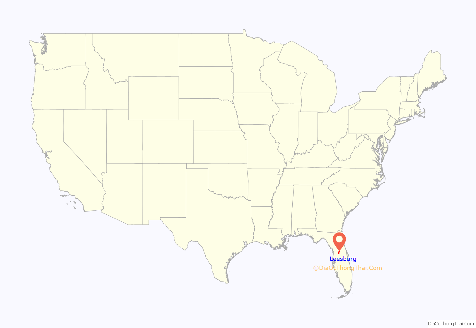
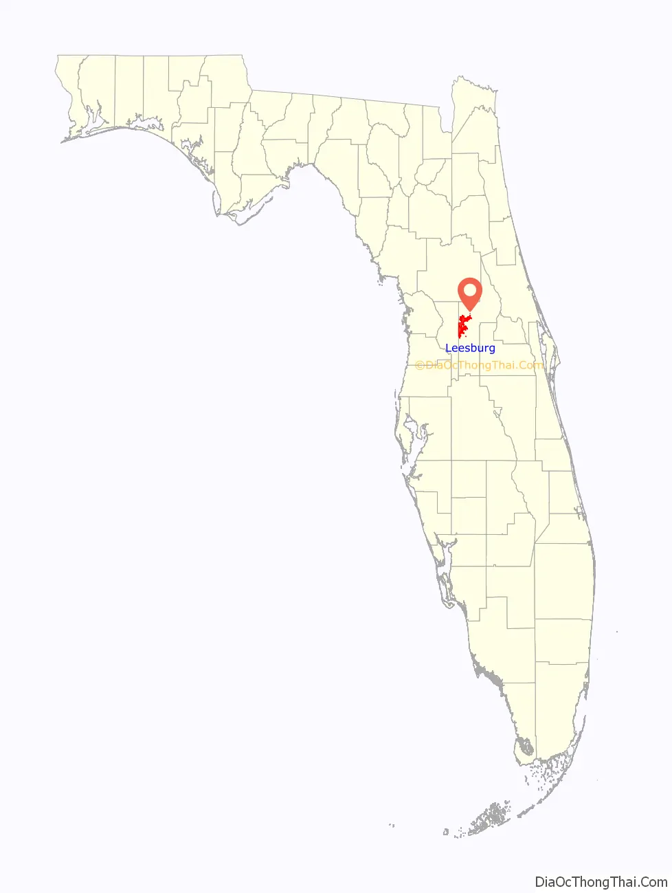
Leesburg location map. Where is Leesburg city?
History
Leesburg was first settled in 1857 by Evander McIver Lee. Several of his brothers followed him to the area. One of them, Calvin Lee, was credited with giving the town its name. The city was incorporated in 1875, and was designated as the county seat of Sumter County for a time. When Lake County was formed in 1887, Tavares was designated as its seat.
In the early 20th century, Leesburg was an important center for watermelon production. In 1930, it held its first Watermelon Festival, an annual tradition that lasted for nearly 30 years. But gradually watermelon production dwindled and, for the last festival in 1957, watermelons had to be brought to the city from outside the area.
In 1938, during the Great Depression, the Franklin D. Roosevelt administration invested in infrastructure and improvement projects across the county. Its Works Progress Administration began work on the Venetian Gardens waterside park, located on the shores of Lake Harris. These canals and gardens have been a centerpiece of the community ever since.
Lake Square Mall, the city’s major shopping mall, opened in 1980.
On March 19, 1982, Ozzy Osbourne’s guitarist Randy Rhoads, as well as the band’s makeup artist and bus driver, were killed in a plane crash at Flying Baron Estates.
The citrus industry was the principal business in this area for decades, but devastating freezes in December 1983 and February 1985 persuaded growers to move their groves further south. In 1997, Leesburg Bikefest started. It has since become an annual spring tradition, with upwards of 250,000 people attending every year.
Today, most of Leesburg’s growth and economic development is the result of its increasing popularity as a retirement destination. In addition, the rapid growth of nearby Orlando has resulted in demand for housing here, as many people commute to Orlando for work. In 2011 and 2017, the Leesburg High School boys’ basketball team won the 4A state championship.
In spring 2017, the Holding Company of the Villages planned to acquire 2,600 acres north and south of County Road 470 along the east side of Florida’s Turnpike for future development. The deal with the mega-retirement community has passed due diligence by the Leesburg City Commission. Age-restricted zoning ordinance changes have already been approved by the Leesburg Planning Commission (with the city commission giving final approval). The initial plans call for building approximately 4,500 homes and some commercial development.
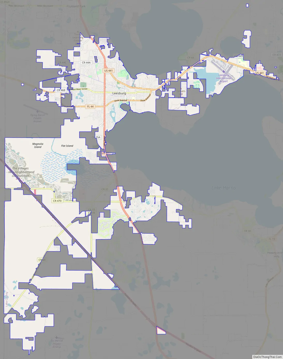
Leesburg Road Map
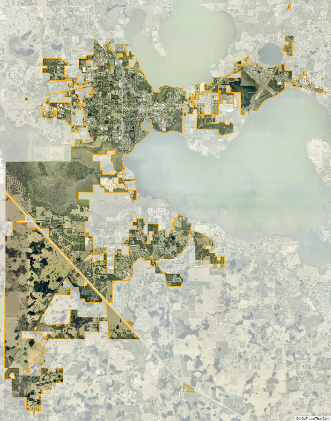
Leesburg city Satellite Map
Geography
According to the United States Census Bureau, the city has a total area of 24.4 square miles (63 km), of which 18.7 square miles (48 km) is land and 5.8 square miles (15 km) (23.65%) is water.
Leesburg is located 44.5 miles NNW of Orlando, 270 miles N of Miami, and 221 miles SW of Tallahassee, the state capital.
Several major highways pass through Leesburg, including U.S. Highway 27, U.S. Highway 441 and S.R. 44. Florida’s Turnpike passes just to the south and west of Leesburg. Leesburg was on the western leg of the Dixie Highway.
Climate
See also
Map of Florida State and its subdivision:- Alachua
- Baker
- Bay
- Bradford
- Brevard
- Broward
- Calhoun
- Charlotte
- Citrus
- Clay
- Collier
- Columbia
- Desoto
- Dixie
- Duval
- Escambia
- Flagler
- Franklin
- Gadsden
- Gilchrist
- Glades
- Gulf
- Hamilton
- Hardee
- Hendry
- Hernando
- Highlands
- Hillsborough
- Holmes
- Indian River
- Jackson
- Jefferson
- Lafayette
- Lake
- Lee
- Leon
- Levy
- Liberty
- Madison
- Manatee
- Marion
- Martin
- Miami-Dade
- Monroe
- Nassau
- Okaloosa
- Okeechobee
- Orange
- Osceola
- Palm Beach
- Pasco
- Pinellas
- Polk
- Putnam
- Saint Johns
- Saint Lucie
- Santa Rosa
- Sarasota
- Seminole
- Sumter
- Suwannee
- Taylor
- Union
- Volusia
- Wakulla
- Walton
- Washington
- Alabama
- Alaska
- Arizona
- Arkansas
- California
- Colorado
- Connecticut
- Delaware
- District of Columbia
- Florida
- Georgia
- Hawaii
- Idaho
- Illinois
- Indiana
- Iowa
- Kansas
- Kentucky
- Louisiana
- Maine
- Maryland
- Massachusetts
- Michigan
- Minnesota
- Mississippi
- Missouri
- Montana
- Nebraska
- Nevada
- New Hampshire
- New Jersey
- New Mexico
- New York
- North Carolina
- North Dakota
- Ohio
- Oklahoma
- Oregon
- Pennsylvania
- Rhode Island
- South Carolina
- South Dakota
- Tennessee
- Texas
- Utah
- Vermont
- Virginia
- Washington
- West Virginia
- Wisconsin
- Wyoming


