Medulla is an unincorporated community and census-designated place (CDP) in western Polk County, Florida, United States. It is part of the Lakeland–Winter Haven Metropolitan Statistical Area. Medulla is an affluent residential community located south of the Lakeland city limits, and north of the Mulberry city limits. Medulla neighbors Lakeland Highlands, and together the two communities make up much of what is known as south (unincorporated) Lakeland. The population was 8,892 at the 2010 census. The area is addressed to Lakeland, with zip codes 33811 and 33813.
| Name: | Medulla CDP |
|---|---|
| LSAD Code: | 57 |
| LSAD Description: | CDP (suffix) |
| State: | Florida |
| County: | Polk County |
| Elevation: | 161 ft (49 m) |
| Total Area: | 5.65 sq mi (14.64 km²) |
| Land Area: | 5.60 sq mi (14.50 km²) |
| Water Area: | 0.05 sq mi (0.14 km²) |
| Total Population: | 10,871 |
| Population Density: | 1,941.94/sq mi (749.74/km²) |
| Area code: | 863 |
| FIPS code: | 1243925 |
| GNISfeature ID: | 0286674 |
Online Interactive Map
Click on ![]() to view map in "full screen" mode.
to view map in "full screen" mode.
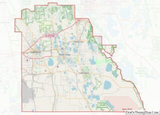
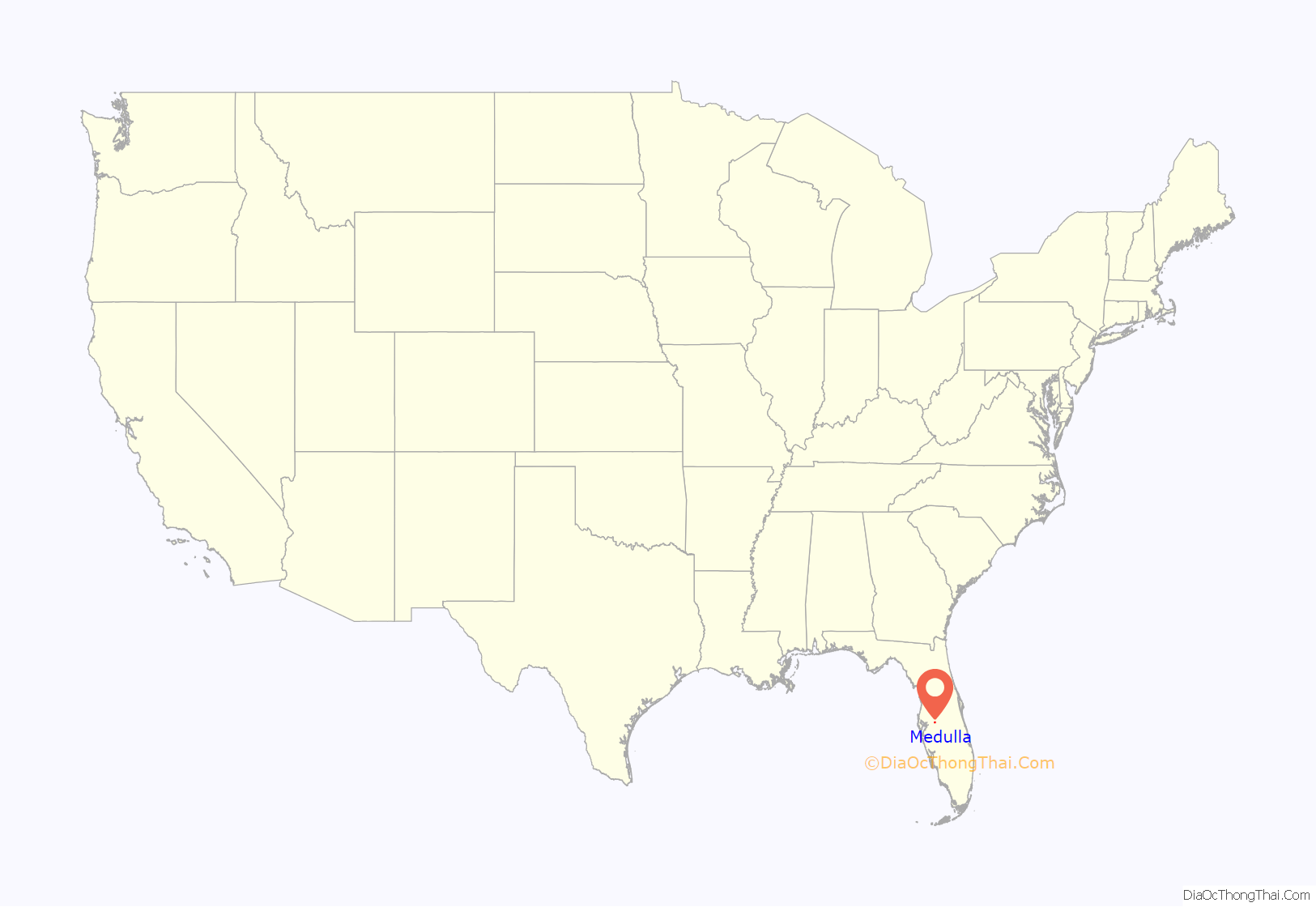
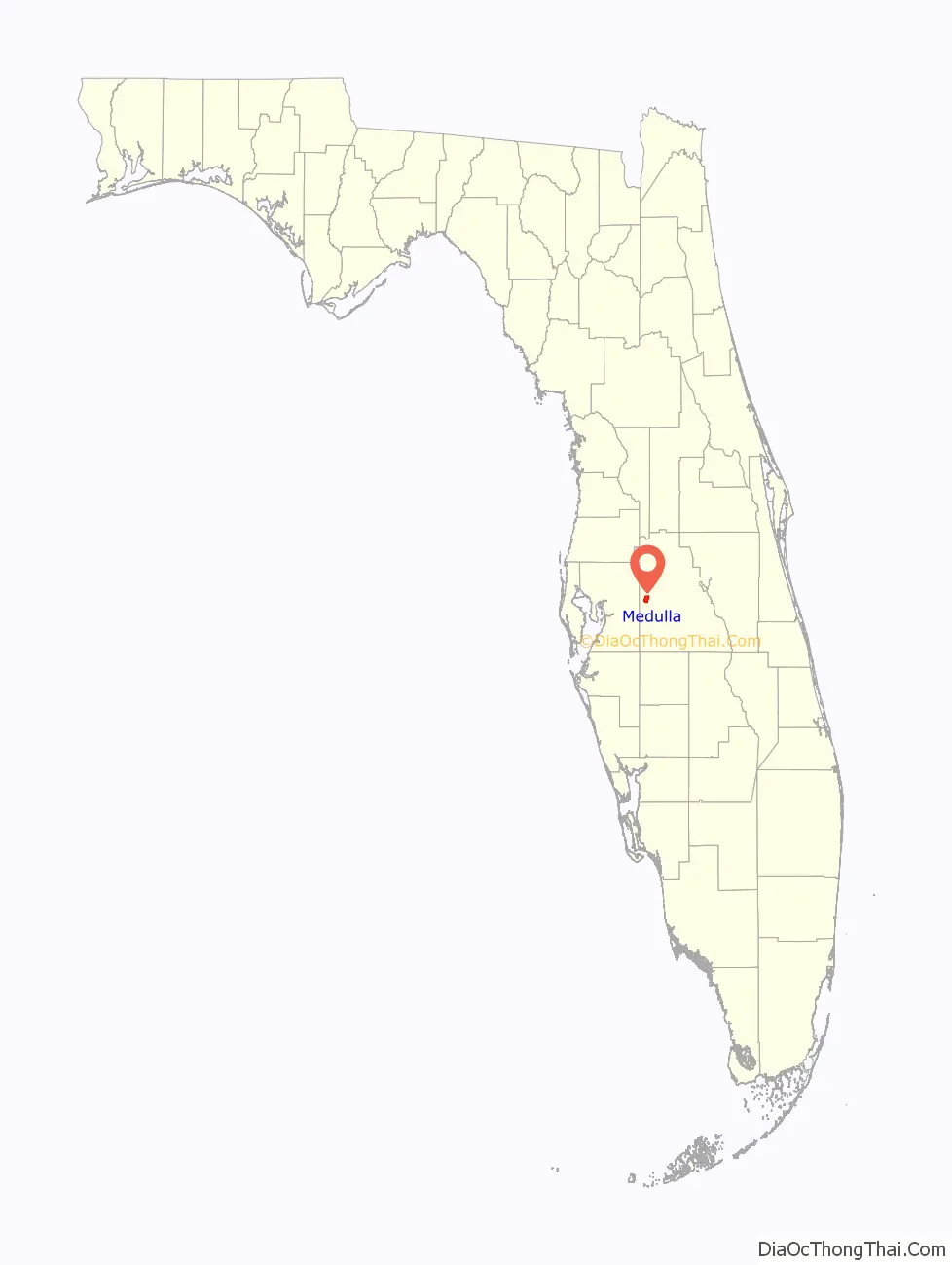
Medulla location map. Where is Medulla CDP?
History
A post office was established at Medulla in 1881, and remained in operation until 1909. Before the post office opened, the community was called Spring Hill. The name Medulla was given to the area due to its connecting link on the stagecoach rail-line between Bartow and Fort Meade, similar to how the medulla oblongata (in the lower part of the brain) connects with spinal cord. Medulla saw a period of rapid growth throughout the 1990s and early 2000s with development of Deer Brooke, a mega deed restricted community. Development of many other smaller subdivisions soon followed.
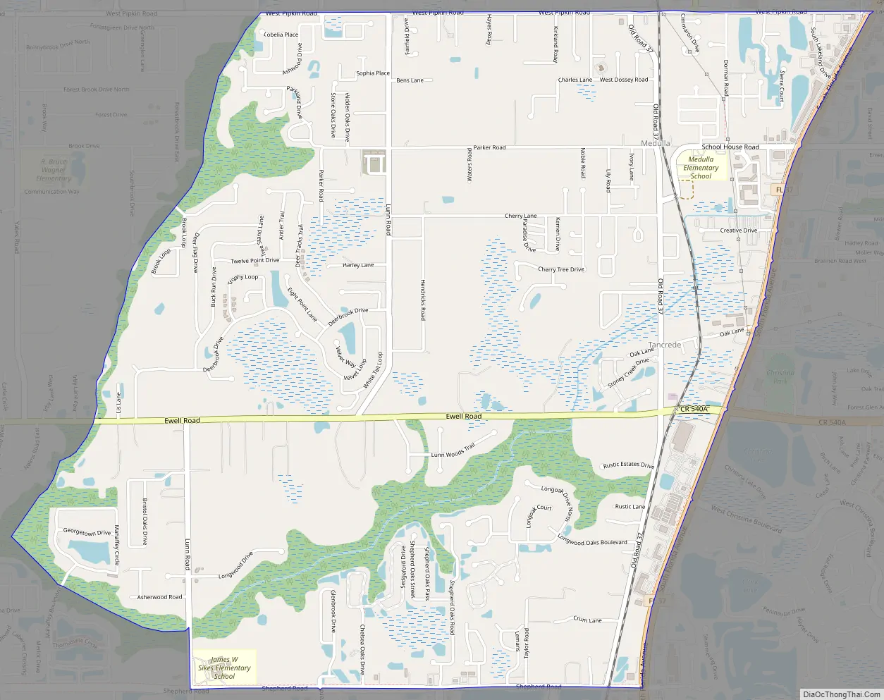
Medulla Road Map
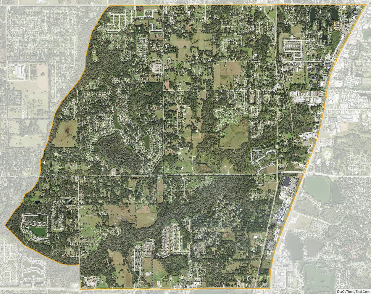
Medulla city Satellite Map
Geography
According to the United States Census Bureau, the CDP has a total area of 5.7 square miles (14.7 km), of which 5.7 square miles (14.7 km) is land and 0.04 square mile (0.1 km) (0.35%) is water.
See also
Map of Florida State and its subdivision:- Alachua
- Baker
- Bay
- Bradford
- Brevard
- Broward
- Calhoun
- Charlotte
- Citrus
- Clay
- Collier
- Columbia
- Desoto
- Dixie
- Duval
- Escambia
- Flagler
- Franklin
- Gadsden
- Gilchrist
- Glades
- Gulf
- Hamilton
- Hardee
- Hendry
- Hernando
- Highlands
- Hillsborough
- Holmes
- Indian River
- Jackson
- Jefferson
- Lafayette
- Lake
- Lee
- Leon
- Levy
- Liberty
- Madison
- Manatee
- Marion
- Martin
- Miami-Dade
- Monroe
- Nassau
- Okaloosa
- Okeechobee
- Orange
- Osceola
- Palm Beach
- Pasco
- Pinellas
- Polk
- Putnam
- Saint Johns
- Saint Lucie
- Santa Rosa
- Sarasota
- Seminole
- Sumter
- Suwannee
- Taylor
- Union
- Volusia
- Wakulla
- Walton
- Washington
- Alabama
- Alaska
- Arizona
- Arkansas
- California
- Colorado
- Connecticut
- Delaware
- District of Columbia
- Florida
- Georgia
- Hawaii
- Idaho
- Illinois
- Indiana
- Iowa
- Kansas
- Kentucky
- Louisiana
- Maine
- Maryland
- Massachusetts
- Michigan
- Minnesota
- Mississippi
- Missouri
- Montana
- Nebraska
- Nevada
- New Hampshire
- New Jersey
- New Mexico
- New York
- North Carolina
- North Dakota
- Ohio
- Oklahoma
- Oregon
- Pennsylvania
- Rhode Island
- South Carolina
- South Dakota
- Tennessee
- Texas
- Utah
- Vermont
- Virginia
- Washington
- West Virginia
- Wisconsin
- Wyoming