Mulberry is a city in Polk County, Florida, United States. The population was 3,817 at the 2010 census. Mulberry is home to Badcock Home Furniture. It is part of the Lakeland–Winter Haven Metropolitan Statistical Area, with parts of unincorporated Lakeland on its northern boundary. Mulberry is home to the 334-acre Alafia River Reserve.
| Name: | Mulberry city |
|---|---|
| LSAD Code: | 25 |
| LSAD Description: | city (suffix) |
| State: | Florida |
| County: | Polk County |
| Elevation: | 112 ft (34 m) |
| Total Area: | 6.88 sq mi (17.83 km²) |
| Land Area: | 6.18 sq mi (16.01 km²) |
| Water Area: | 0.70 sq mi (1.81 km²) |
| Total Population: | 3,952 |
| Population Density: | 639.17/sq mi (246.79/km²) |
| ZIP code: | 33860 |
| Area code: | 863 |
| FIPS code: | 1247200 |
| GNISfeature ID: | 2404336 |
| Website: | www.cityofmulberryfl.org |
Online Interactive Map
Click on ![]() to view map in "full screen" mode.
to view map in "full screen" mode.
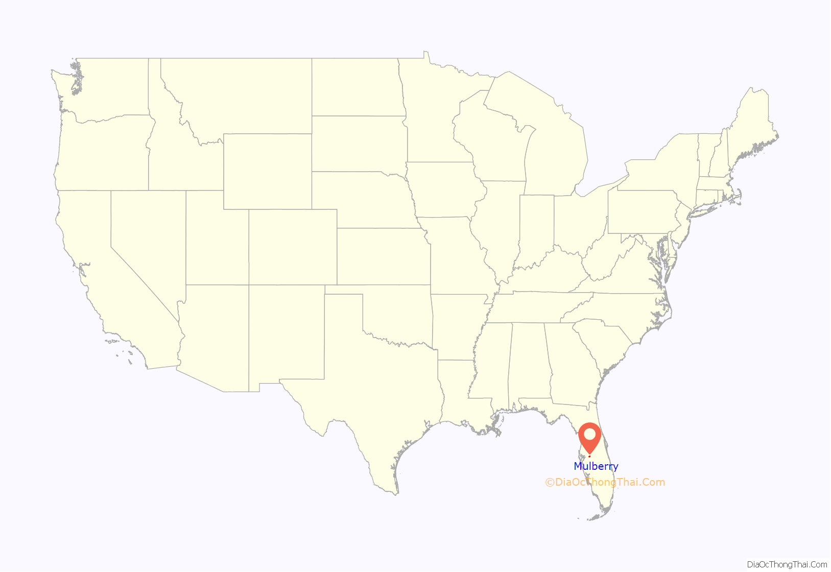
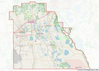
Mulberry location map. Where is Mulberry city?
History
The first white settlers appeared in the Mulberry area in the 1840s. The first industry in Mulberry was logging the longleaf yellow pine which dominated the area.
The town had no official name, but the railroad which came through town stopped at a mulberry tree to let off passengers and drop off the mail. The old mulberry tree became the de facto meeting place in town, and eventually gave the town its name. Several lynchings and hangings took place from this mulberry tree. In 1886, phosphate rock was discovered in the Peace River, and the dominant logging industry gave way to mining operations. The phosphate industry gave the town stability, leading to Mulberry’s incorporation in 1901. In 1910, Mulberry’s Masonic lodge was established and remains operational today.
Florida Pebble Strike
By 1919, many miners had joined the International Union of Mine, Mill, and Smelter Workers. In April of that year, the union called a strike asking for a minimum wage and an eight-hour work day, after which the mining companies brought in strikebreakers from Georgia. Electricity was cut off from both Mulberry and Fort Meade. On the evening of August 21, 1919, four mine guards for the Prairie Pebble Phosphate Company opened fire upon the town in an apparent attempt to break the strike, claiming that a man had shot at the power house in which they were sheltered. During the indiscriminate shooting, two adults were wounded and a two-year-old child was killed after being shot through the heart. Later that night, another black man was killed when the guards continued firing in Mulberry’s black neighborhood. The sheriff’s investigation found no evidence of a firearm in the accused man’s possession nor at the location from which it was claimed he had fired. After quelling the rage of the townspeople, who wanted to attack the power house and mine guards, the sheriff arrested the four mine guards shortly after midnight.
Lynchings
The Ku Klux Klan maintained a presence in Mulberry, with the last public march occurring in 1979. At least six black people were lynched in the early 1900s, as well as at least one white man.
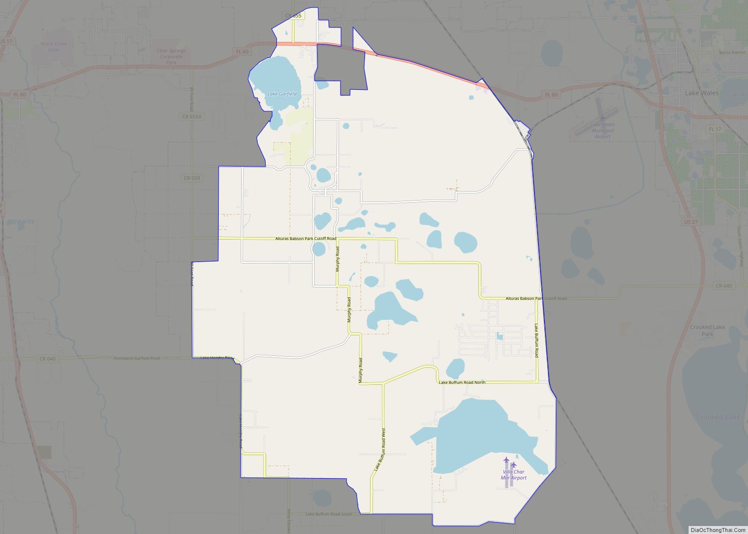
Mulberry Road Map
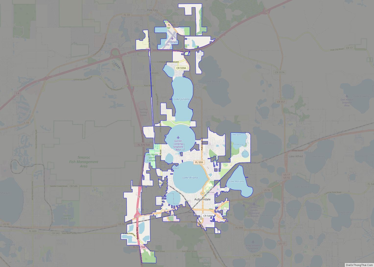
Mulberry city Satellite Map
Geography
Mulberry is located within the Central Florida Highlands area of the Atlantic coastal plain with a terrain consisting of flatland interspersed with gently rolling hills.
According to the United States Census Bureau, the city has a total area of 3.2 square miles (8.3 km), of which 3.1 square miles (8.0 km) is land and 0.1 square mile (0.4 km) (4.36%) is water.
Mulberry is located at the junction of state roads 60 and 37.
Mulberry is located in the humid subtropical zone of the (Köppen climate classification: Cfa).
See also
Map of Florida State and its subdivision:- Alachua
- Baker
- Bay
- Bradford
- Brevard
- Broward
- Calhoun
- Charlotte
- Citrus
- Clay
- Collier
- Columbia
- Desoto
- Dixie
- Duval
- Escambia
- Flagler
- Franklin
- Gadsden
- Gilchrist
- Glades
- Gulf
- Hamilton
- Hardee
- Hendry
- Hernando
- Highlands
- Hillsborough
- Holmes
- Indian River
- Jackson
- Jefferson
- Lafayette
- Lake
- Lee
- Leon
- Levy
- Liberty
- Madison
- Manatee
- Marion
- Martin
- Miami-Dade
- Monroe
- Nassau
- Okaloosa
- Okeechobee
- Orange
- Osceola
- Palm Beach
- Pasco
- Pinellas
- Polk
- Putnam
- Saint Johns
- Saint Lucie
- Santa Rosa
- Sarasota
- Seminole
- Sumter
- Suwannee
- Taylor
- Union
- Volusia
- Wakulla
- Walton
- Washington
- Alabama
- Alaska
- Arizona
- Arkansas
- California
- Colorado
- Connecticut
- Delaware
- District of Columbia
- Florida
- Georgia
- Hawaii
- Idaho
- Illinois
- Indiana
- Iowa
- Kansas
- Kentucky
- Louisiana
- Maine
- Maryland
- Massachusetts
- Michigan
- Minnesota
- Mississippi
- Missouri
- Montana
- Nebraska
- Nevada
- New Hampshire
- New Jersey
- New Mexico
- New York
- North Carolina
- North Dakota
- Ohio
- Oklahoma
- Oregon
- Pennsylvania
- Rhode Island
- South Carolina
- South Dakota
- Tennessee
- Texas
- Utah
- Vermont
- Virginia
- Washington
- West Virginia
- Wisconsin
- Wyoming
