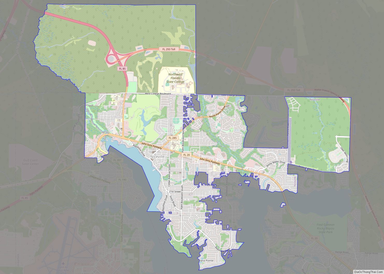
Niceville is a city in Okaloosa County, Florida, United States, located near Eglin Air Force Base on Boggy Bayou that opens into Choctawhatchee Bay.
The population was 11,684 at the 2000 census. The 2010 census population for Niceville was 12,749.
Niceville is part of the Fort Walton Beach–Crestview–Destin Metropolitan Statistical Area.
| Name: | Niceville city |
|---|---|
| LSAD Code: | 25 |
| LSAD Description: | city (suffix) |
| State: | Florida |
| County: | Okaloosa County |
| Elevation: | 36 ft (11 m) |
| Total Area: | 14.92 sq mi (38.63 km²) |
| Land Area: | 14.41 sq mi (37.33 km²) |
| Water Area: | 0.50 sq mi (1.30 km²) |
| Total Population: | 15,772 |
| Population Density: | 1,094.21/sq mi (422.49/km²) |
| ZIP code: | 32578, 32588 |
| Area code: | 850 |
| FIPS code: | 1248750 |
| GNISfeature ID: | 0294621 |
| Website: | www.cityofniceville.org |
Online Interactive Map
Click on ![]() to view map in "full screen" mode.
to view map in "full screen" mode.
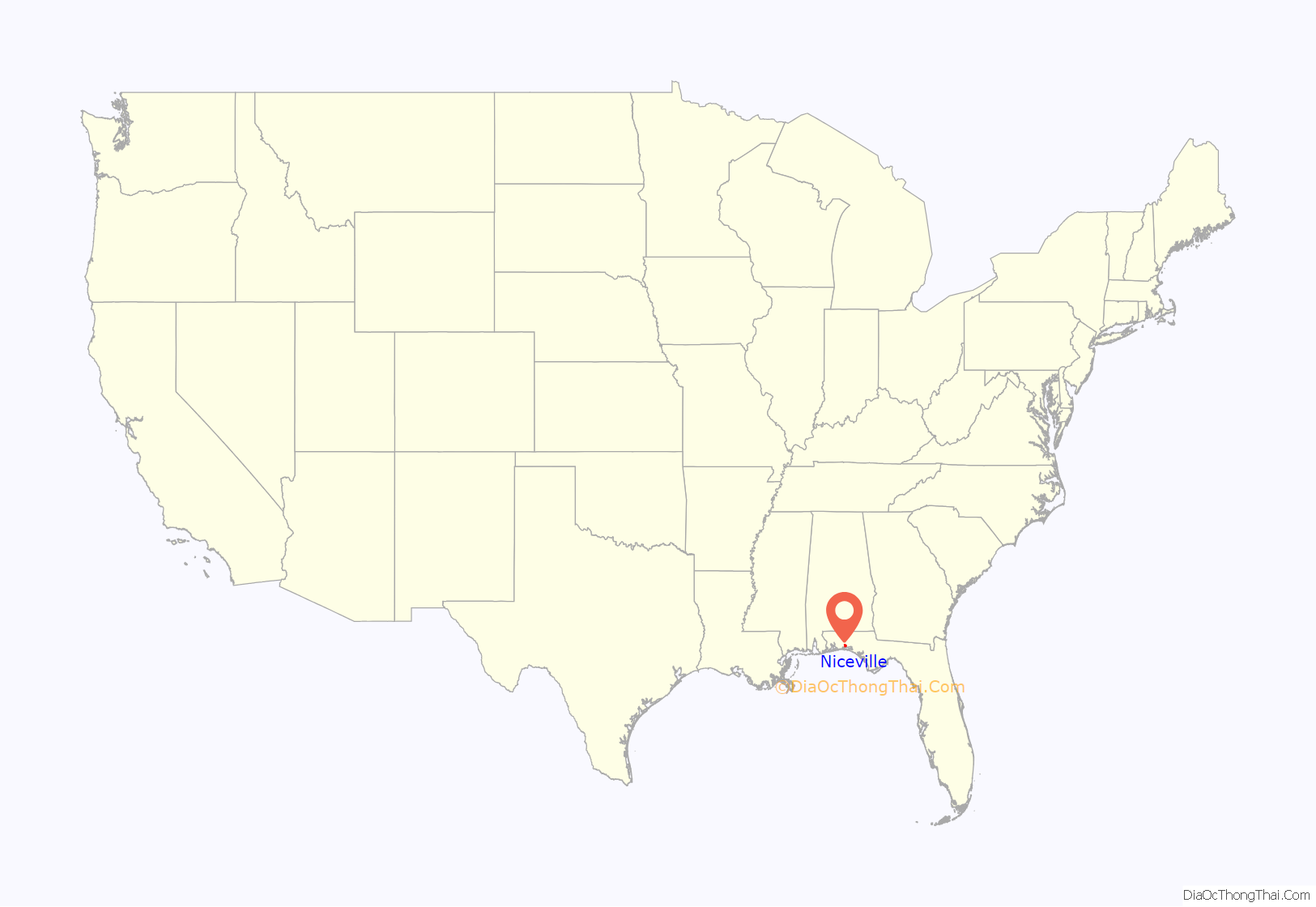
Niceville location map. Where is Niceville city?
History
When mail service began on July 21, 1868, the city was known as Boggy, and on November 5, 1910, the name was officially changed to Niceville. The name Niceville was selected by the postmaster’s daughter. In 1915, Niceville became part of newly formed Okaloosa County after previously being in Walton County. It is a twin city along with Valparaiso, which borders it on the west side of the city.
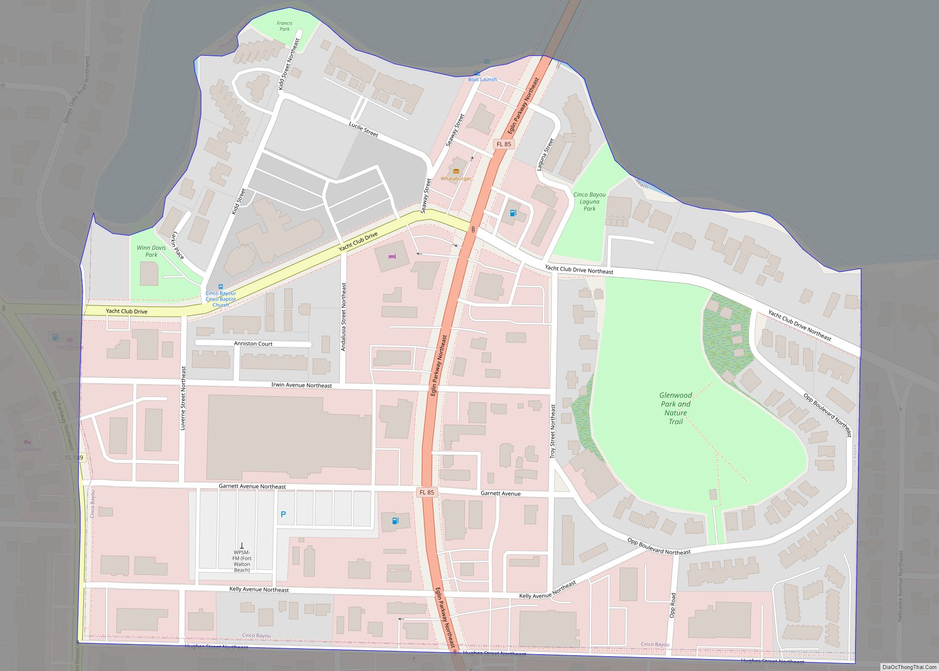
Niceville Road Map
Niceville city Satellite Map
Geography
According to the United States Census Bureau, the city has a total area of 11.3 square miles (29 km), of which 10.9 square miles (28 km) is land and 0.4 square miles (1.0 km) is water.
Climate
See also
Map of Florida State and its subdivision:- Alachua
- Baker
- Bay
- Bradford
- Brevard
- Broward
- Calhoun
- Charlotte
- Citrus
- Clay
- Collier
- Columbia
- Desoto
- Dixie
- Duval
- Escambia
- Flagler
- Franklin
- Gadsden
- Gilchrist
- Glades
- Gulf
- Hamilton
- Hardee
- Hendry
- Hernando
- Highlands
- Hillsborough
- Holmes
- Indian River
- Jackson
- Jefferson
- Lafayette
- Lake
- Lee
- Leon
- Levy
- Liberty
- Madison
- Manatee
- Marion
- Martin
- Miami-Dade
- Monroe
- Nassau
- Okaloosa
- Okeechobee
- Orange
- Osceola
- Palm Beach
- Pasco
- Pinellas
- Polk
- Putnam
- Saint Johns
- Saint Lucie
- Santa Rosa
- Sarasota
- Seminole
- Sumter
- Suwannee
- Taylor
- Union
- Volusia
- Wakulla
- Walton
- Washington
- Alabama
- Alaska
- Arizona
- Arkansas
- California
- Colorado
- Connecticut
- Delaware
- District of Columbia
- Florida
- Georgia
- Hawaii
- Idaho
- Illinois
- Indiana
- Iowa
- Kansas
- Kentucky
- Louisiana
- Maine
- Maryland
- Massachusetts
- Michigan
- Minnesota
- Mississippi
- Missouri
- Montana
- Nebraska
- Nevada
- New Hampshire
- New Jersey
- New Mexico
- New York
- North Carolina
- North Dakota
- Ohio
- Oklahoma
- Oregon
- Pennsylvania
- Rhode Island
- South Carolina
- South Dakota
- Tennessee
- Texas
- Utah
- Vermont
- Virginia
- Washington
- West Virginia
- Wisconsin
- Wyoming
