Valparaiso is a city in Okaloosa County, Florida, United States. As of the 2010 census, the city population was 5,036. According to the U.S. Census Bureau’s 2018 estimates, the city had a population of 5,195. It is part of the Fort Walton Beach–Crestview–Destin Metropolitan Statistical Area.
| Name: | Valparaiso city |
|---|---|
| LSAD Code: | 25 |
| LSAD Description: | city (suffix) |
| State: | Florida |
| County: | Okaloosa County |
| Elevation: | 46 ft (14 m) |
| Total Area: | 11.83 sq mi (30.63 km²) |
| Land Area: | 11.74 sq mi (30.41 km²) |
| Water Area: | 0.09 sq mi (0.22 km²) |
| Total Population: | 4,752 |
| Population Density: | 404.77/sq mi (156.28/km²) |
| ZIP code: | 32580 |
| Area code: | 850 |
| FIPS code: | 1273675 |
| GNISfeature ID: | 0305048 |
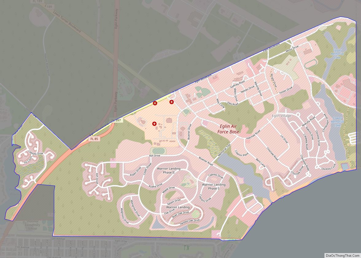
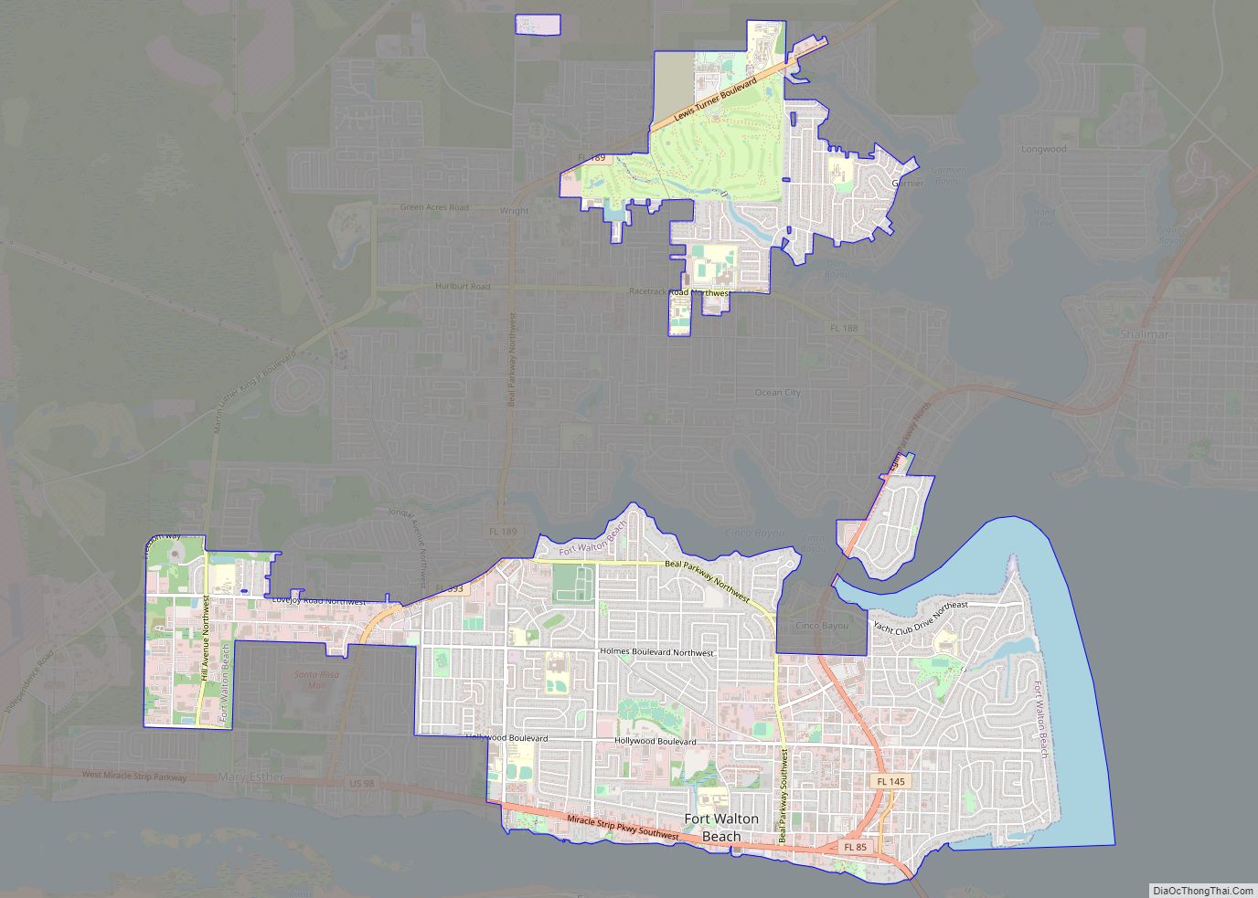
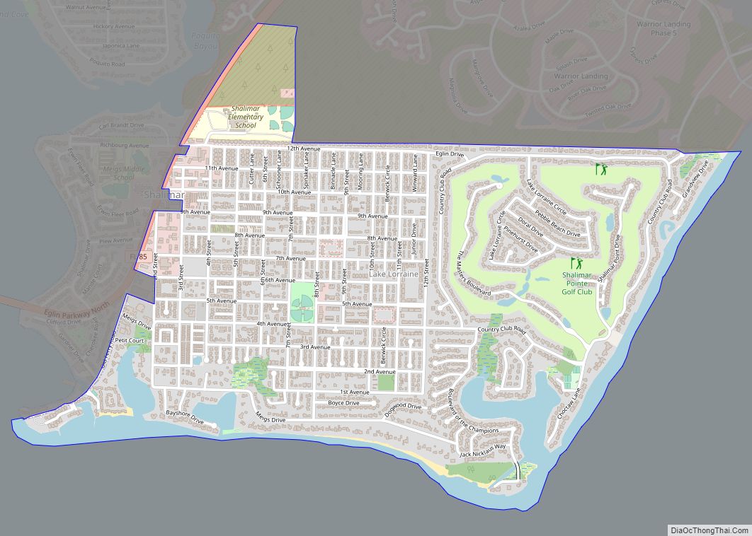
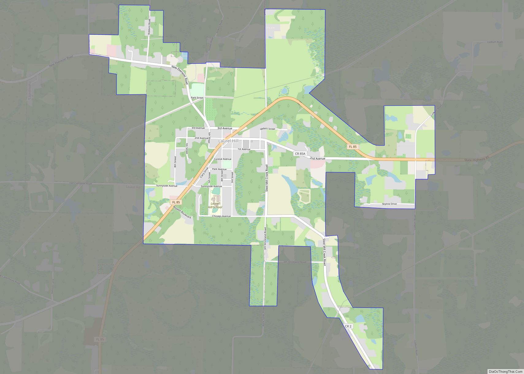
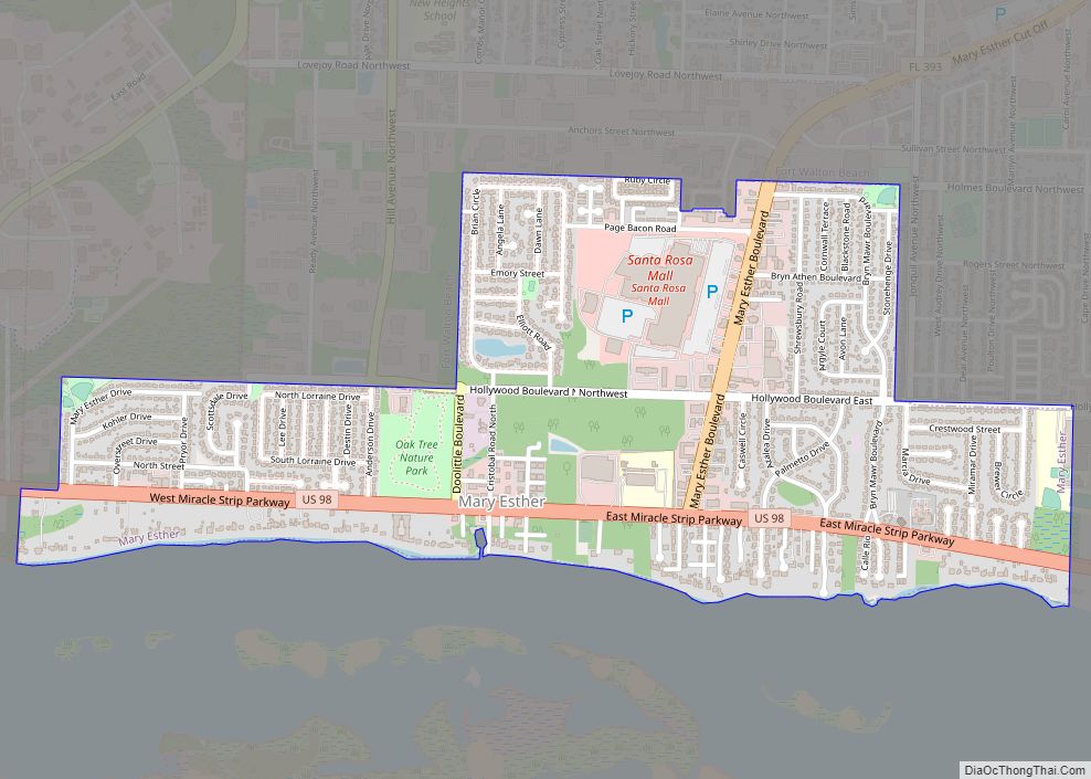
Online Interactive Map
Click on ![]() to view map in "full screen" mode.
to view map in "full screen" mode.
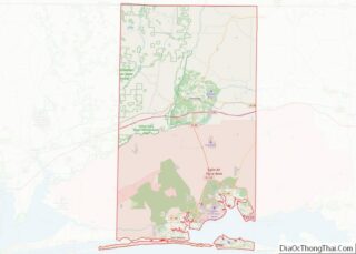
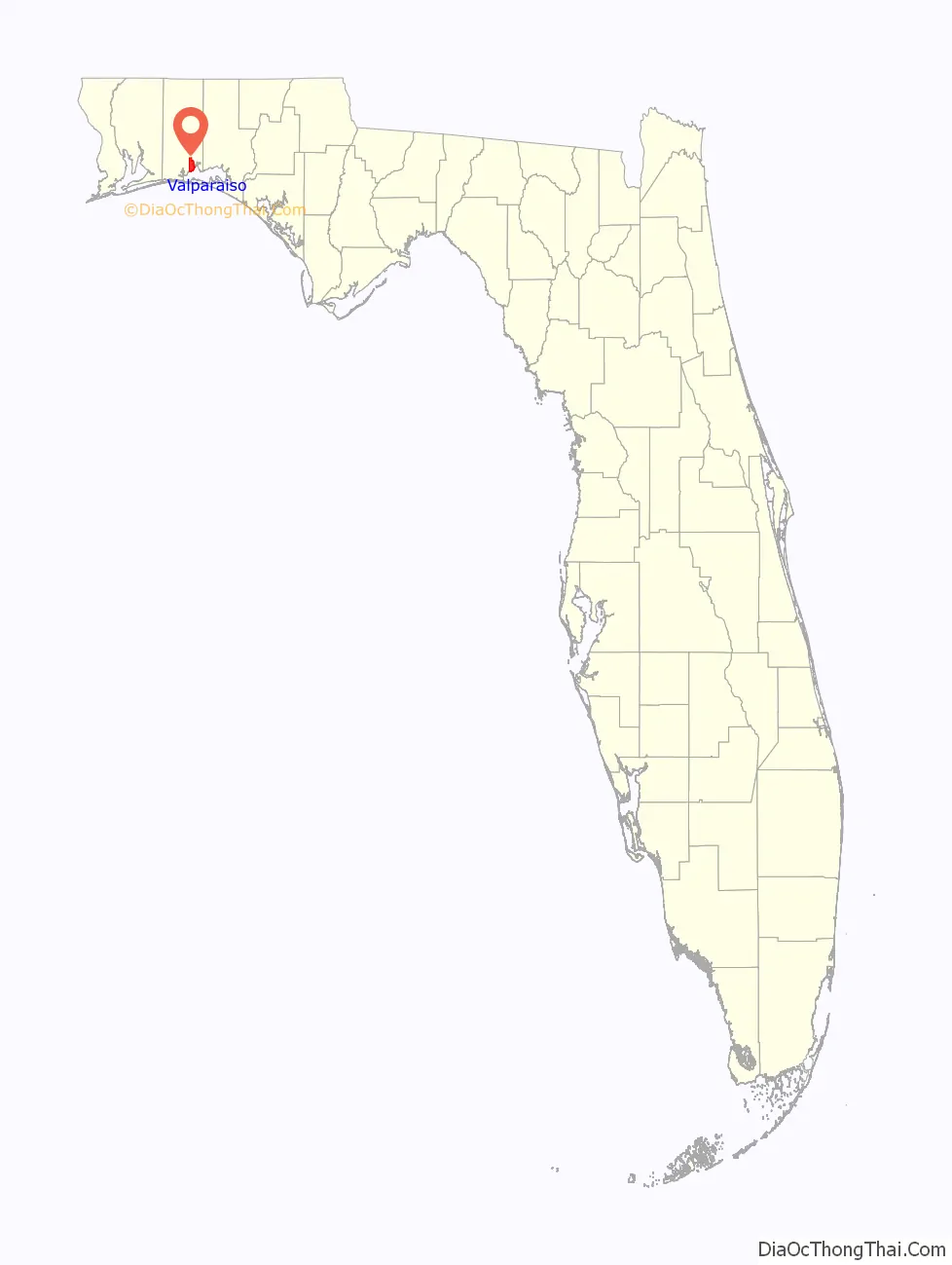
Valparaiso location map. Where is Valparaiso city?

History
Valparaiso was named after Valparaiso, Indiana (which was named after Valparaiso, Chile) and is a twin city also with its neighboring city, Niceville.
Chicago businessman James E. Plew, who relocated to the panhandle of northwest Florida in 1922, became “one of Northwest Florida’s pioneer developers,” and settled on Valparaiso “as the most likely spot for development.
He founded the Bank of Valparaiso, constructed the Valparaiso Inn [in 1924], organized the Chicago Country Club which constructed the Valparaiso Country Club golf course and was instrumental in many other development activities in the community.”
“Other interests of Mr. Plew included the founding of the Shalimar Winery, which was established to use the surplus grape crop of the county. He also founded the Valparaiso Novelty Company, helped to establish a knitting mill in the community and was interested in a number of other enterprises to which he made investments to help their development.”
Plew thought that a military payroll would boost the depression-stricken economy of the region. He leased from the city of Valparaiso the Valparaiso Airport, an arrowhead-shaped parcel of 137 acres (0.55 km) cleared in 1933 as an airdrome.
In 1934, Plew offered the U.S. government 1,460 acres (6 km) contiguous land for a bombing and gunnery base. This leasehold became the headquarters for the Valparaiso Bombing and Gunnery Base activated on June 14, 1935, under the command of Captain Arnold H. Rich. This was the founding of Eglin Air Force Base. The field was assigned the ICAO airport code VPS for Valparaiso, which Destin-Fort Walton Beach Airport retains to this day. In Niceville, there is an elementary school named in his honor.
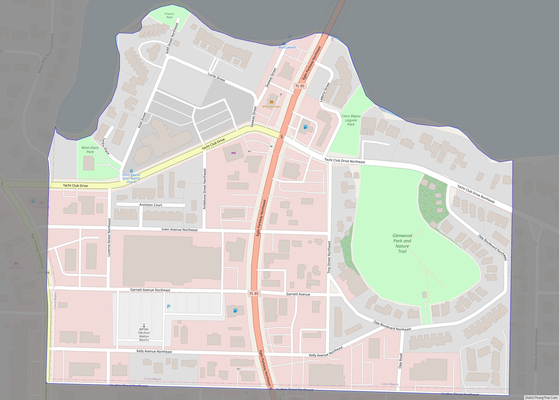
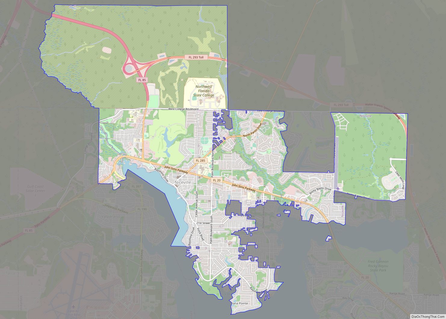
Valparaiso Road Map

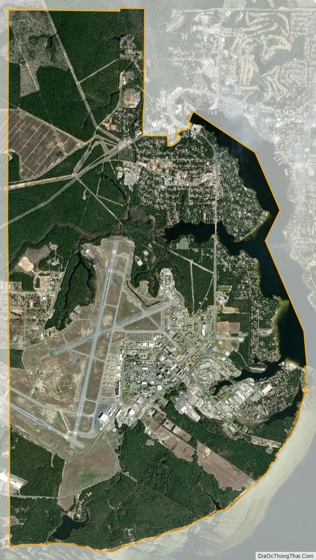
Valparaiso city Satellite Map
Geography
Valparaiso is located at 30°30′N 86°30′W / 30.500°N 86.500°W / 30.500; -86.500 (30.5070, –86.4970).
According to the United States Census Bureau, the city has a total area of 12.8 square miles (33 km), of which 11.9 square miles (31 km) is land and 0.8 square miles (2.1 km) (6.35%) is water.
See also
Map of Florida State and its subdivision:- Alachua
- Baker
- Bay
- Bradford
- Brevard
- Broward
- Calhoun
- Charlotte
- Citrus
- Clay
- Collier
- Columbia
- Desoto
- Dixie
- Duval
- Escambia
- Flagler
- Franklin
- Gadsden
- Gilchrist
- Glades
- Gulf
- Hamilton
- Hardee
- Hendry
- Hernando
- Highlands
- Hillsborough
- Holmes
- Indian River
- Jackson
- Jefferson
- Lafayette
- Lake
- Lee
- Leon
- Levy
- Liberty
- Madison
- Manatee
- Marion
- Martin
- Miami-Dade
- Monroe
- Nassau
- Okaloosa
- Okeechobee
- Orange
- Osceola
- Palm Beach
- Pasco
- Pinellas
- Polk
- Putnam
- Saint Johns
- Saint Lucie
- Santa Rosa
- Sarasota
- Seminole
- Sumter
- Suwannee
- Taylor
- Union
- Volusia
- Wakulla
- Walton
- Washington
- Alabama
- Alaska
- Arizona
- Arkansas
- California
- Colorado
- Connecticut
- Delaware
- District of Columbia
- Florida
- Georgia
- Hawaii
- Idaho
- Illinois
- Indiana
- Iowa
- Kansas
- Kentucky
- Louisiana
- Maine
- Maryland
- Massachusetts
- Michigan
- Minnesota
- Mississippi
- Missouri
- Montana
- Nebraska
- Nevada
- New Hampshire
- New Jersey
- New Mexico
- New York
- North Carolina
- North Dakota
- Ohio
- Oklahoma
- Oregon
- Pennsylvania
- Rhode Island
- South Carolina
- South Dakota
- Tennessee
- Texas
- Utah
- Vermont
- Virginia
- Washington
- West Virginia
- Wisconsin
- Wyoming