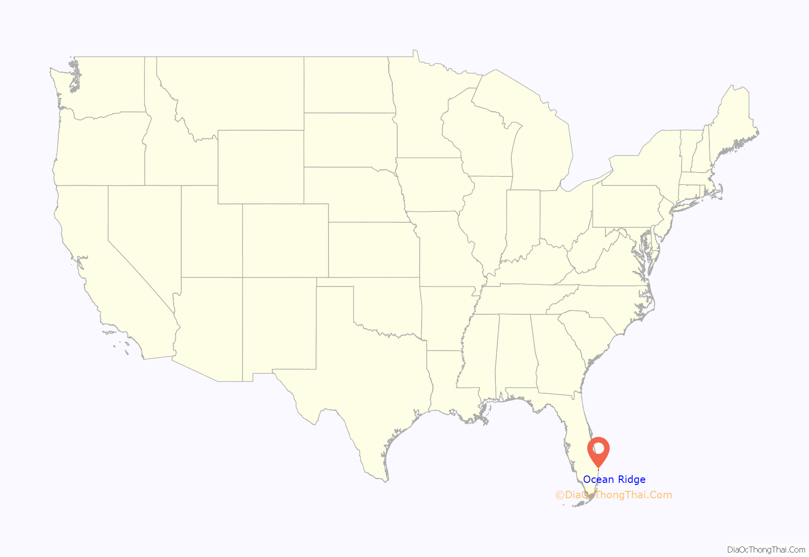
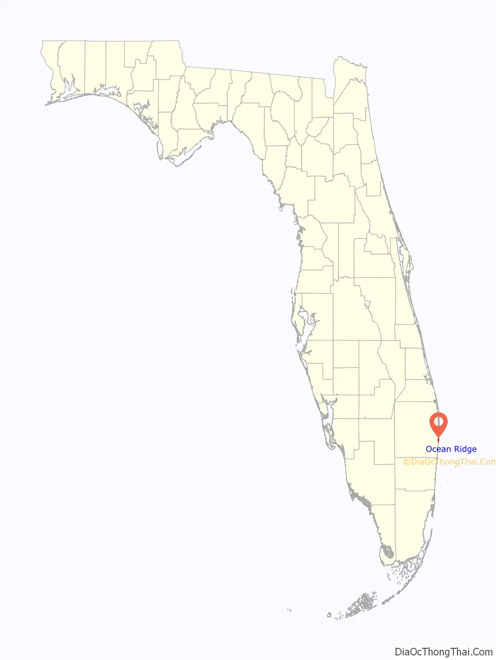
Ocean Ridge is a town in Palm Beach County, Florida, United States. The population was 1,786 at the 2010 census. As of 2018, the population recorded by the U.S. Census Bureau is 1,956. It is part of the Miami Metropolitan Area.
| Name: | Ocean Ridge town |
|---|---|
| LSAD Code: | 43 |
| LSAD Description: | town (suffix) |
| State: | Florida |
| County: | Palm Beach County |
| Elevation: | 7 ft (2 m) |
| Total Area: | 1.75 sq mi (4.54 km²) |
| Land Area: | 0.76 sq mi (1.97 km²) |
| Water Area: | 0.99 sq mi (2.57 km²) |
| Total Population: | 1,830 |
| Population Density: | 2,404.73/sq mi (928.76/km²) |
| ZIP code: | 33435 |
| Area code: | 561 |
| FIPS code: | 1250950 |
| GNISfeature ID: | 0288040 |
| Website: | www.oceanridgeflorida.com |
Online Interactive Map
Click on ![]() to view map in "full screen" mode.
to view map in "full screen" mode.
Ocean Ridge location map. Where is Ocean Ridge town?
History
Ocean Ridge was founded in 1931 as the Town of Boynton Beach, which was originally part of the Town of Boynton. Major Nathan S. Boynton toured the area in 1894, and established the Boynton Beach Hotel in 1897. The town of Boynton was incorporated in 1920. Due to disputes over beach area property taxes and the Town of Boynton’s rising debt load, twelve homes created the Town of Boynton Beach in 1931. But in 1937, the Town Commission called a special emergency meeting over changing Boynton Beach’s name, because mail was being missent to Daytona Beach due to the similarities in name. Marion White Bird, the daughter of then Mayor Michael White, suggested the name “Ocean Ridge” and won a contest for choosing a new name. The name was officially changed to “Ocean Ridge” in 1939. Two years later, the Town of Boynton itself changed its name, to “Boynton Beach”.
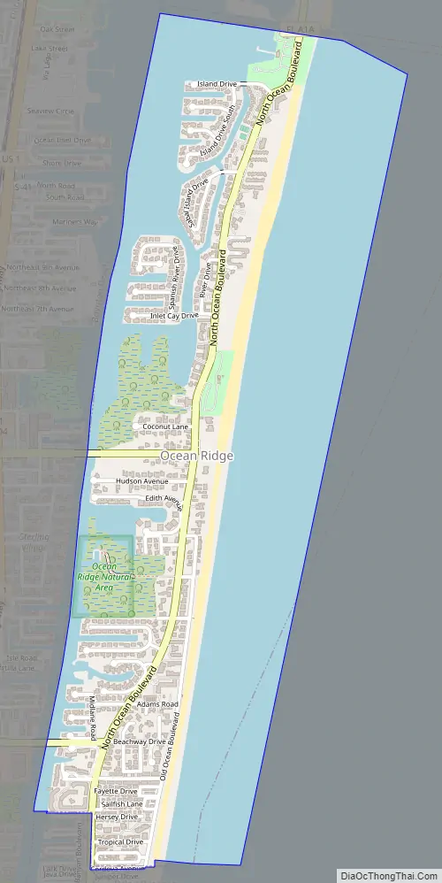
Ocean Ridge Road Map
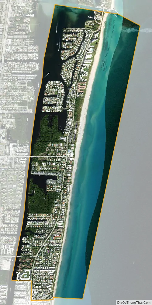
Ocean Ridge city Satellite Map
Geography
Ocean Ridge is located at 26°31′30″N 80°03′02″W / 26.525113°N 80.050443°W / 26.525113; -80.050443.
Ocean Ridge is a small coastal community along US Hwy A1A. It lies 1.6 miles north of Briny Breezes, 1.3 miles east of Boynton Beach and 4.3 miles south of South Palm Beach. To the east lies the Atlantic Ocean.
According to the United States Census Bureau, the town has a total area of 2.0 square miles (5.2 km), of which 0.9 square miles (2.3 km) is land and 1.1 square miles (2.8 km) (57.00%) is water.
See also
Map of Florida State and its subdivision:- Alachua
- Baker
- Bay
- Bradford
- Brevard
- Broward
- Calhoun
- Charlotte
- Citrus
- Clay
- Collier
- Columbia
- Desoto
- Dixie
- Duval
- Escambia
- Flagler
- Franklin
- Gadsden
- Gilchrist
- Glades
- Gulf
- Hamilton
- Hardee
- Hendry
- Hernando
- Highlands
- Hillsborough
- Holmes
- Indian River
- Jackson
- Jefferson
- Lafayette
- Lake
- Lee
- Leon
- Levy
- Liberty
- Madison
- Manatee
- Marion
- Martin
- Miami-Dade
- Monroe
- Nassau
- Okaloosa
- Okeechobee
- Orange
- Osceola
- Palm Beach
- Pasco
- Pinellas
- Polk
- Putnam
- Saint Johns
- Saint Lucie
- Santa Rosa
- Sarasota
- Seminole
- Sumter
- Suwannee
- Taylor
- Union
- Volusia
- Wakulla
- Walton
- Washington
- Alabama
- Alaska
- Arizona
- Arkansas
- California
- Colorado
- Connecticut
- Delaware
- District of Columbia
- Florida
- Georgia
- Hawaii
- Idaho
- Illinois
- Indiana
- Iowa
- Kansas
- Kentucky
- Louisiana
- Maine
- Maryland
- Massachusetts
- Michigan
- Minnesota
- Mississippi
- Missouri
- Montana
- Nebraska
- Nevada
- New Hampshire
- New Jersey
- New Mexico
- New York
- North Carolina
- North Dakota
- Ohio
- Oklahoma
- Oregon
- Pennsylvania
- Rhode Island
- South Carolina
- South Dakota
- Tennessee
- Texas
- Utah
- Vermont
- Virginia
- Washington
- West Virginia
- Wisconsin
- Wyoming


