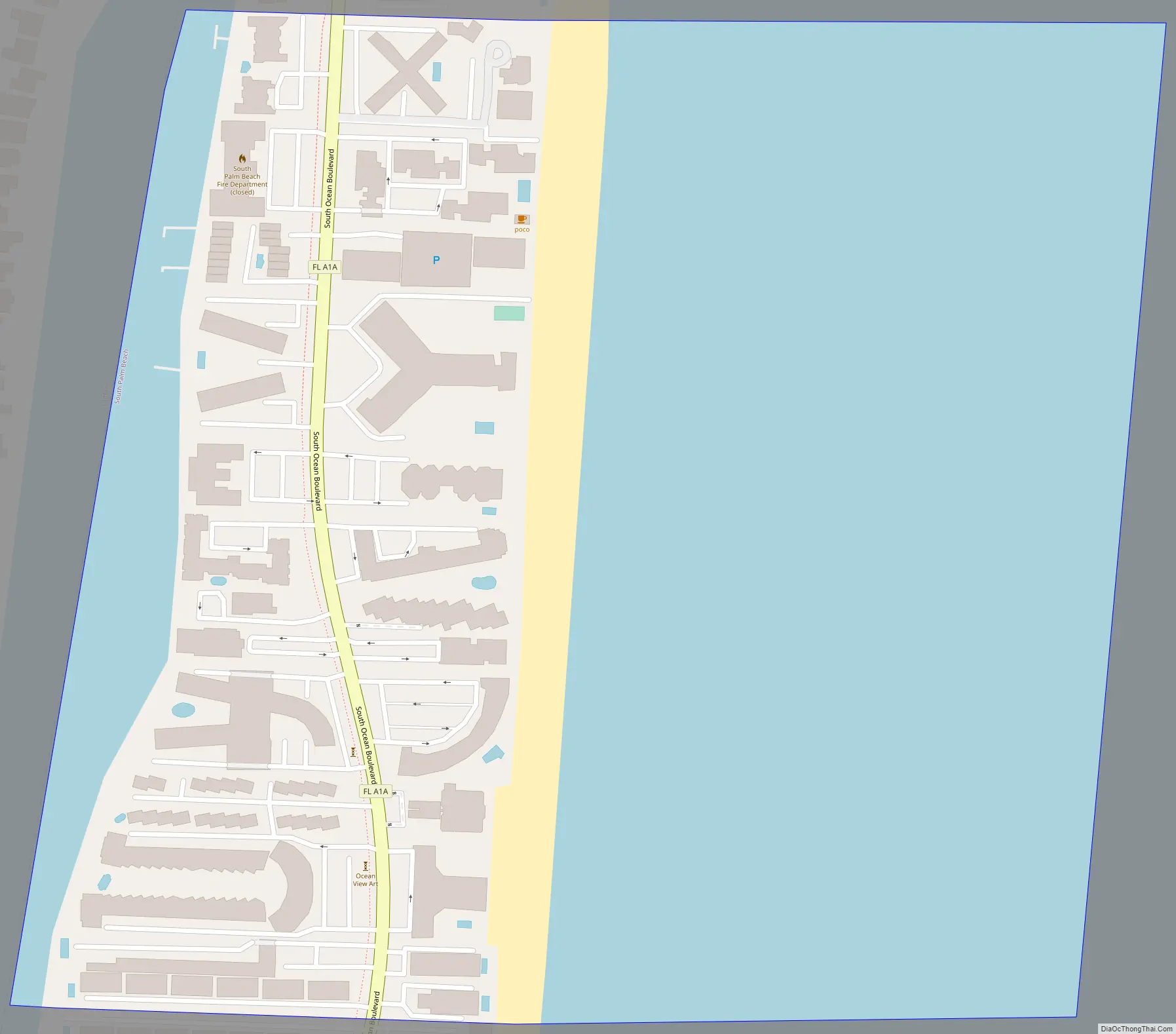
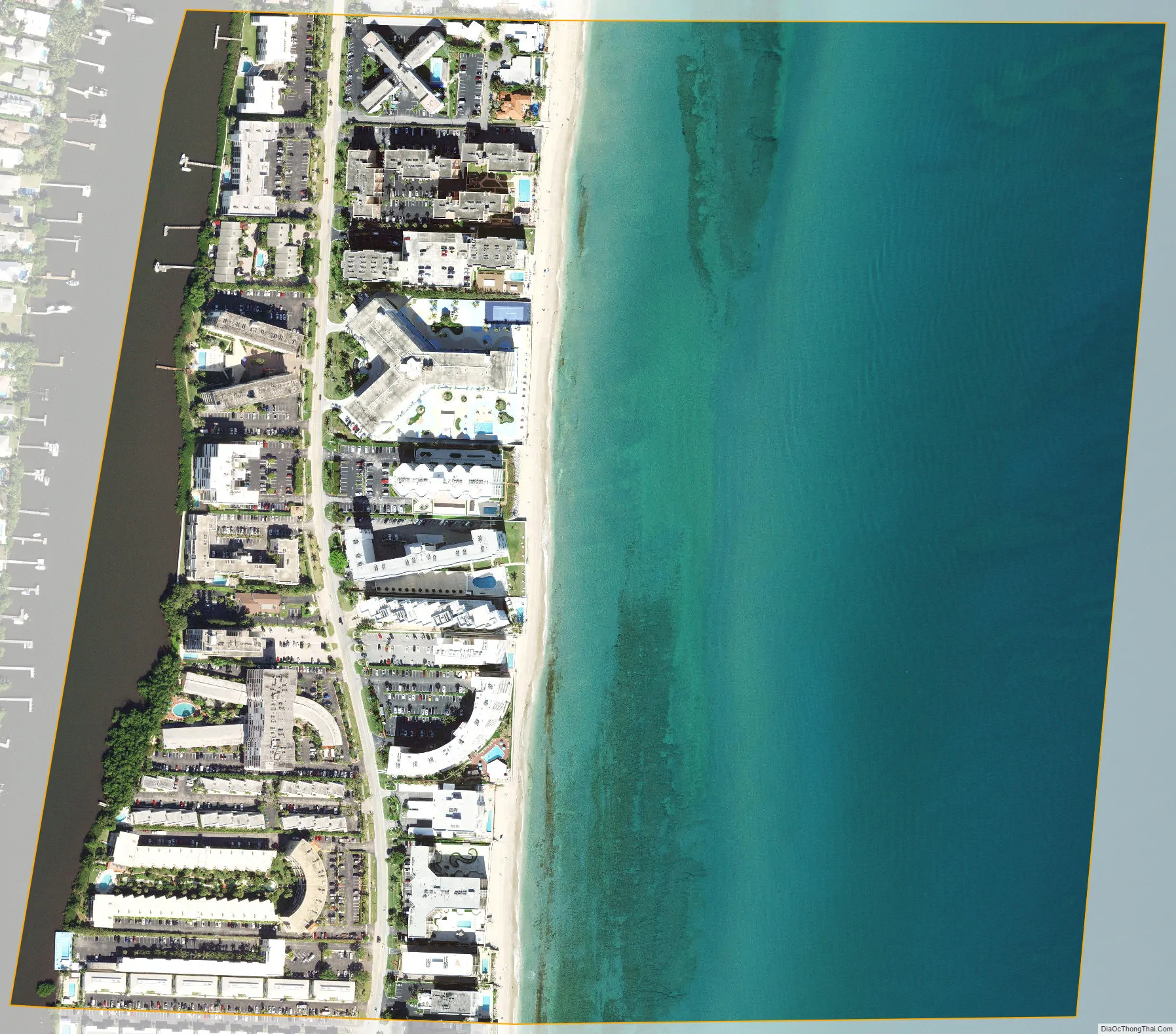
South Palm Beach is a town located in Palm Beach County, Florida, United States. The town is situated on a barrier island between the Atlantic Ocean and the Intracoastal Waterway. The entire town is approximately 5⁄8 of a mile (1.0 km) long along South Ocean Boulevard (Florida State Road A1A), its only street. It is between the Town of Palm Beach to the north and the Town of Lantana and its public beach to the south. As of the 2020 census, the population was 1,471.
| Name: | South Palm Beach town |
|---|---|
| LSAD Code: | 43 |
| LSAD Description: | town (suffix) |
| State: | Florida |
| County: | Palm Beach County |
| Elevation: | 3 ft (1 m) |
| Total Area: | 0.28 sq mi (0.73 km²) |
| Land Area: | 0.11 sq mi (0.28 km²) |
| Water Area: | 0.17 sq mi (0.45 km²) |
| Total Population: | 1,471 |
| Population Density: | 13,747.66/sq mi (5,291.84/km²) |
| ZIP code: | 33480 |
| Area code: | 561 |
| FIPS code: | 1267650 |
| GNISfeature ID: | 0291401 |
Online Interactive Map
Click on ![]() to view map in "full screen" mode.
to view map in "full screen" mode.
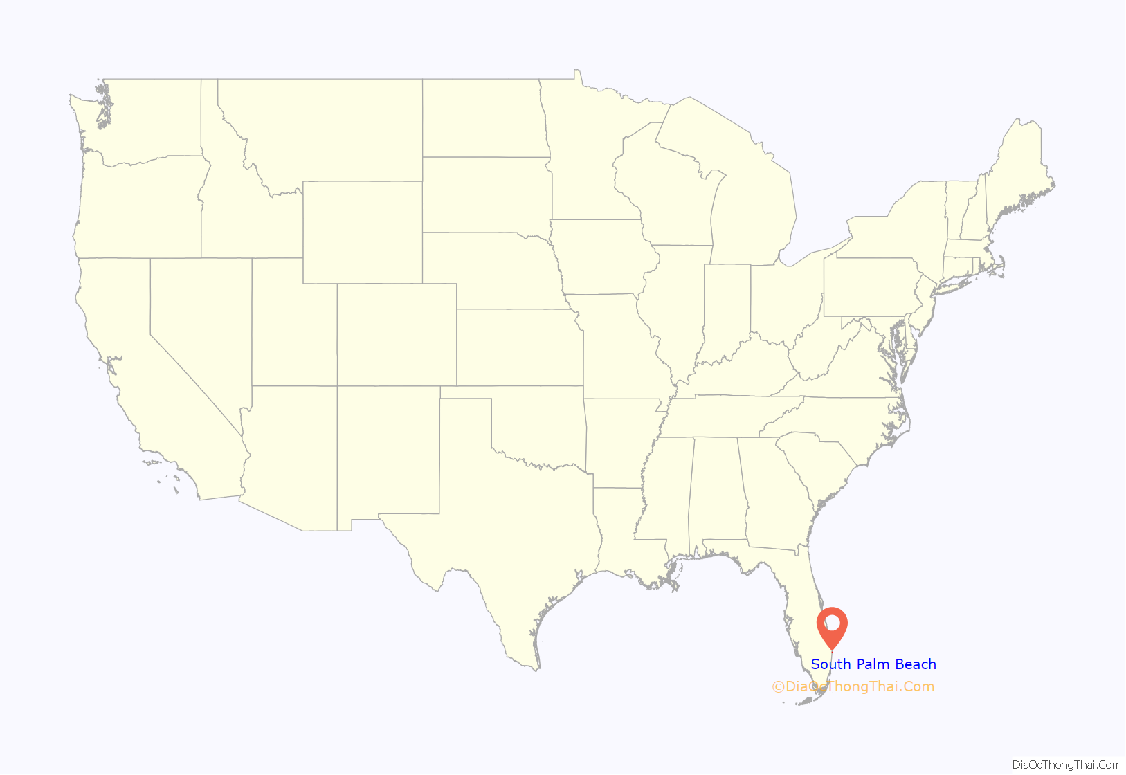
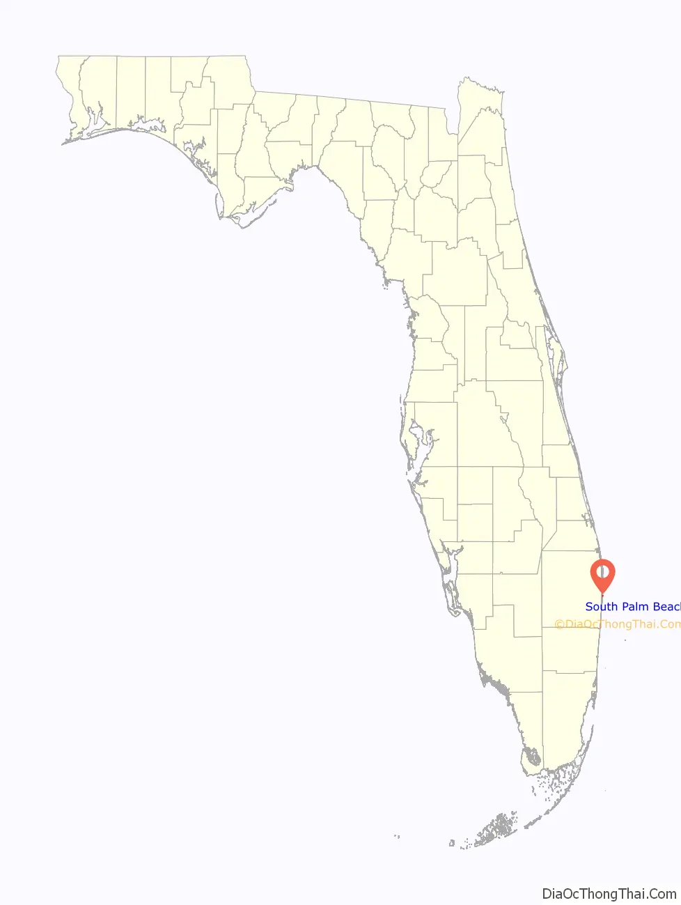
South Palm Beach location map. Where is South Palm Beach town?
South Palm Beach Road Map
South Palm Beach city Satellite Map
Geography
South Palm Beach is located at 26°35′30″N 80°2′15″W / 26.59167°N 80.03750°W / 26.59167; -80.03750 (26.591746, –80.037525).
South Palm Beach is bordered to the north by the Town of Palm Beach; to the east by the Atlantic Ocean; to the west by the Intracoastal waterway (known locally as the Lake Worth Lagoon); and on the south by the town of Manalapan. According to the United States Census Bureau, the town has a total area of 0.9 square kilometers (0.35 sq mi), of which 0.3 km (0.12 sq mi) is land and 0.5 km (0.19 sq mi) (60.61%) is water.
See also
Map of Florida State and its subdivision:- Alachua
- Baker
- Bay
- Bradford
- Brevard
- Broward
- Calhoun
- Charlotte
- Citrus
- Clay
- Collier
- Columbia
- Desoto
- Dixie
- Duval
- Escambia
- Flagler
- Franklin
- Gadsden
- Gilchrist
- Glades
- Gulf
- Hamilton
- Hardee
- Hendry
- Hernando
- Highlands
- Hillsborough
- Holmes
- Indian River
- Jackson
- Jefferson
- Lafayette
- Lake
- Lee
- Leon
- Levy
- Liberty
- Madison
- Manatee
- Marion
- Martin
- Miami-Dade
- Monroe
- Nassau
- Okaloosa
- Okeechobee
- Orange
- Osceola
- Palm Beach
- Pasco
- Pinellas
- Polk
- Putnam
- Saint Johns
- Saint Lucie
- Santa Rosa
- Sarasota
- Seminole
- Sumter
- Suwannee
- Taylor
- Union
- Volusia
- Wakulla
- Walton
- Washington
- Alabama
- Alaska
- Arizona
- Arkansas
- California
- Colorado
- Connecticut
- Delaware
- District of Columbia
- Florida
- Georgia
- Hawaii
- Idaho
- Illinois
- Indiana
- Iowa
- Kansas
- Kentucky
- Louisiana
- Maine
- Maryland
- Massachusetts
- Michigan
- Minnesota
- Mississippi
- Missouri
- Montana
- Nebraska
- Nevada
- New Hampshire
- New Jersey
- New Mexico
- New York
- North Carolina
- North Dakota
- Ohio
- Oklahoma
- Oregon
- Pennsylvania
- Rhode Island
- South Carolina
- South Dakota
- Tennessee
- Texas
- Utah
- Vermont
- Virginia
- Washington
- West Virginia
- Wisconsin
- Wyoming


