Opa-locka /ˈoʊpəˌlɒkə/ is a city in Miami-Dade County, Florida, United States. As of the 2020 census, the population was 16,463, up from 15,219 in 2010. The city was developed by Glenn Curtiss. Developed based on a One Thousand and One Nights theme, Opa-locka has the largest collection of Moorish Revival architecture in the Western Hemisphere, and streets with such names as Sharazad Boulevard, Sinbad Avenue, Sabur Lane, Sultan Avenue, Ali Baba Avenue, Perviz Avenue, and Sesame Street.
The name Opa-locka is an abbreviation of a Seminole place name, spelled Opa-tisha-wocka-locka (or Opatishawockalocka), meaning “wooded hummock” or “high, dry hummock.”
| Name: | Opa-locka city |
|---|---|
| LSAD Code: | 25 |
| LSAD Description: | city (suffix) |
| State: | Florida |
| County: | Miami-Dade County |
| Incorporated: | May 14, 1926 |
| Elevation: | 7 ft (2 m) |
| Total Area: | 4.48 sq mi (11.61 km²) |
| Land Area: | 4.31 sq mi (11.16 km²) |
| Water Area: | 0.17 sq mi (0.45 km²) 3.13% |
| Total Population: | 16,463 |
| Population Density: | 3,821.49/sq mi (1,475.60/km²) |
| Area code: | 305, 786 |
| FIPS code: | 1251650 |
| Website: | www.opalockafl.gov |
Online Interactive Map
Click on ![]() to view map in "full screen" mode.
to view map in "full screen" mode.
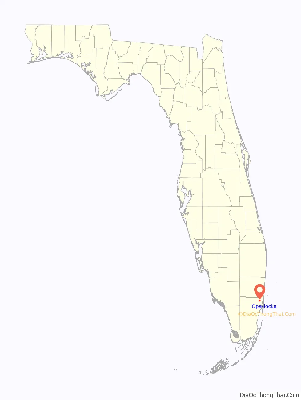
Opa-locka location map. Where is Opa-locka city?

History
Opa-locka was founded by aviation pioneer Glenn Curtiss in 1926. Curtiss developed the city with a Moorish architecture theme. While the 1926 Miami hurricane badly damaged the city and brought the Florida land boom to a halt, several Moorish-style buildings survived. Twenty of the original Moorish Revival architecture buildings have been listed on the National Register of Historic Places as part of the Opa-locka Thematic Resource Area.
Amelia Earhart launched her historic trip around the world from Miami Municipal Airport, located at the time in what is now the southern part of Opa-locka. The German dirigible Graf Zeppelin visited Naval Air Station Miami, which later became Opa-locka Airport, as a regular stop on its Germany-Brazil-United States-Germany scheduled route.
In the 1950s, the Opa-locka airport—specifically Building 67—became the site of a large CIA operation, PBSuccess, run by operatives including E. Howard Hunt. The operation helped launch the U.S.-led coup in Guatemala in 1954 and was a precursor to the Bay of Pigs Invasion in 1961. The airfield center then served as a listening post for Cuba until the 82nd Airborne took over Opa-locka Airbase during the Cuban Missile Crisis.
In the 1980s, Opa-locka transitioned from majority white to majority African-American and was seen as a pioneer in black empowerment in northern Dade County where neighboring cities (North Miami, North Miami Beach, Miami Gardens, and Golden Glades) were undergoing a similar racial shift. In 1943, Opa-Locka hired its first Black police officer. In 1972, the first Black City Commissioner was elected, Albert Tresvant, who then went on to serve as the first Black mayor of Opa-Locka in 1975.
The city was the first community in the United States to commemorate the first African-American president of the United States. A mile-long section of Perviz Avenue—from Oriental Boulevard to Ali Baba Avenue—was renamed Barack Obama Avenue on February 17, 2009.
In addition to the unique buildings, Opa-locka has a large general aviation airport, three parks, two lakes and a railroad station which is currently the tri-rail station. The city is a mixture of residential, commercial and industrial zones. The city was the backdrop for the making of movies such as Salesman, “Living Dreams”, Texas Justice, Bad Boys II and 2 Fast 2 Furious.
2016 financial emergency
On June 1, 2016, Florida Governor Rick Scott issued Executive Order Number 16-135, declaring the City of Opa-Locka to be in a state of “Financial Emergency” under Florida Statute Section 218.503. According to the Executive Order, the Opa-Locka City Commission requested that the governor declare the financial emergency, the state and the City of Opa-Locka were to execute a State and Local Agreement of Cooperation, and the government would appoint a Financial Emergency Board. On the same day, the Miami Herald reported that “Millions of dollars are in arrears as the city teeters on the edge of bankruptcy” and that “city officials remain under an FBI corruption investigation”. The article also reported that this financial emergency was the second declared for the city since 2002.
Just over a week earlier, Opa-locka Commissioner Terence Pinder apparently drove his SUV into a tree at high speed, killing himself. He was scheduled to turn himself over to prosecutors the next day, having faced bribery charges.
On June 10, Governor Scott named the Financial Emergency Board. The City of Opa-locka does not have an Audit Committee to help select the public accountant to perform the independent audited financial statements, as required by Florida Statute 218.391 (2)
Opa-locka Road Map

Opa-locka city Satellite Map

Geography
Opa-locka is in northern Miami-Dade County, 12 miles (19 km) north of downtown Miami and 7 miles (11 km) west of North Miami Beach. It is bordered to the north by the city of Miami Gardens, to the east by unincorporated Golden Glades, to the south by unincorporated Westview, and to the southwest by the city of Hialeah.
According to the United States Census Bureau, Opa-locka has a total area of 4.5 square miles (12 km). 4.3 square miles (11 km) of it are land and 0.2 square miles (0.52 km) of it (3.90%) are covered by water.
Climate
Surrounding areas
See also
Map of Florida State and its subdivision:- Alachua
- Baker
- Bay
- Bradford
- Brevard
- Broward
- Calhoun
- Charlotte
- Citrus
- Clay
- Collier
- Columbia
- Desoto
- Dixie
- Duval
- Escambia
- Flagler
- Franklin
- Gadsden
- Gilchrist
- Glades
- Gulf
- Hamilton
- Hardee
- Hendry
- Hernando
- Highlands
- Hillsborough
- Holmes
- Indian River
- Jackson
- Jefferson
- Lafayette
- Lake
- Lee
- Leon
- Levy
- Liberty
- Madison
- Manatee
- Marion
- Martin
- Miami-Dade
- Monroe
- Nassau
- Okaloosa
- Okeechobee
- Orange
- Osceola
- Palm Beach
- Pasco
- Pinellas
- Polk
- Putnam
- Saint Johns
- Saint Lucie
- Santa Rosa
- Sarasota
- Seminole
- Sumter
- Suwannee
- Taylor
- Union
- Volusia
- Wakulla
- Walton
- Washington
- Alabama
- Alaska
- Arizona
- Arkansas
- California
- Colorado
- Connecticut
- Delaware
- District of Columbia
- Florida
- Georgia
- Hawaii
- Idaho
- Illinois
- Indiana
- Iowa
- Kansas
- Kentucky
- Louisiana
- Maine
- Maryland
- Massachusetts
- Michigan
- Minnesota
- Mississippi
- Missouri
- Montana
- Nebraska
- Nevada
- New Hampshire
- New Jersey
- New Mexico
- New York
- North Carolina
- North Dakota
- Ohio
- Oklahoma
- Oregon
- Pennsylvania
- Rhode Island
- South Carolina
- South Dakota
- Tennessee
- Texas
- Utah
- Vermont
- Virginia
- Washington
- West Virginia
- Wisconsin
- Wyoming


