Hialeah (/ˌhaɪəˈliːə/ HY-ə-LEE-ə; American Spanish: [xaʝaˈli.a]) is a city in Miami-Dade County, Florida, United States. With a population of 223,109 as of the 2020 census, Hialeah is the sixth-largest city in Florida. It is the second largest city by population in the Miami metropolitan area, which was home to an estimated 6,198,782 people at the 2018 census. It is located west-northwest of Miami, and is one of a few places in the county—others being Homestead, Miami Beach, Surfside, Bal Harbour, Sunny Isles Beach, and Golden Beach—to have its own street grid numbered separately from the rest of the county (which is otherwise based on Miami Avenue at Flagler Street in Downtown Miami, the county seat).
The city is notable for its high Hispanic proportion, which at 94.0%, is the second-highest proportion of Hispanic Americans out of any community in the United States outside of Puerto Rico, and the highest proportion among incorporated communities outside of Puerto Rico. Hialeah also has the highest percentage of Cuban and Cuban American residents of any city in the United States, at 73.37% of the population, making them a typical and prominent feature of the city’s culture.
Hialeah also has one of the largest Spanish-speaking communities in the country. In 2016, 96.3% of residents reported speaking Spanish at home, and the language is an important part of daily life in the city.
Hialeah is served by the Miami Metrorail at Okeechobee, Hialeah, and Tri-Rail/Metrorail Transfer stations. The Okeechobee and Hialeah stations serve primarily as park-and-ride commuter stations to commuters and residents going into Downtown Miami, and Tri-Rail station to Miami International Airport and north to West Palm Beach.
| Name: | Hialeah city |
|---|---|
| LSAD Code: | 25 |
| LSAD Description: | city (suffix) |
| State: | Florida |
| County: | Miami-Dade County |
| Elevation: | 7 ft (2 m) |
| Land Area: | 21.58 sq mi (55.90 km²) |
| Water Area: | 1.24 sq mi (3.20 km²) |
| Population Density: | 10,338.21/sq mi (3,991.52/km²) |
| ZIP code: | 33002, 33010-33018 |
| Area code: | 305, 786 |
| FIPS code: | 1230000 |
| GNISfeature ID: | 0305059 |
| Website: | www.hialeahfl.gov |
Online Interactive Map
Click on ![]() to view map in "full screen" mode.
to view map in "full screen" mode.
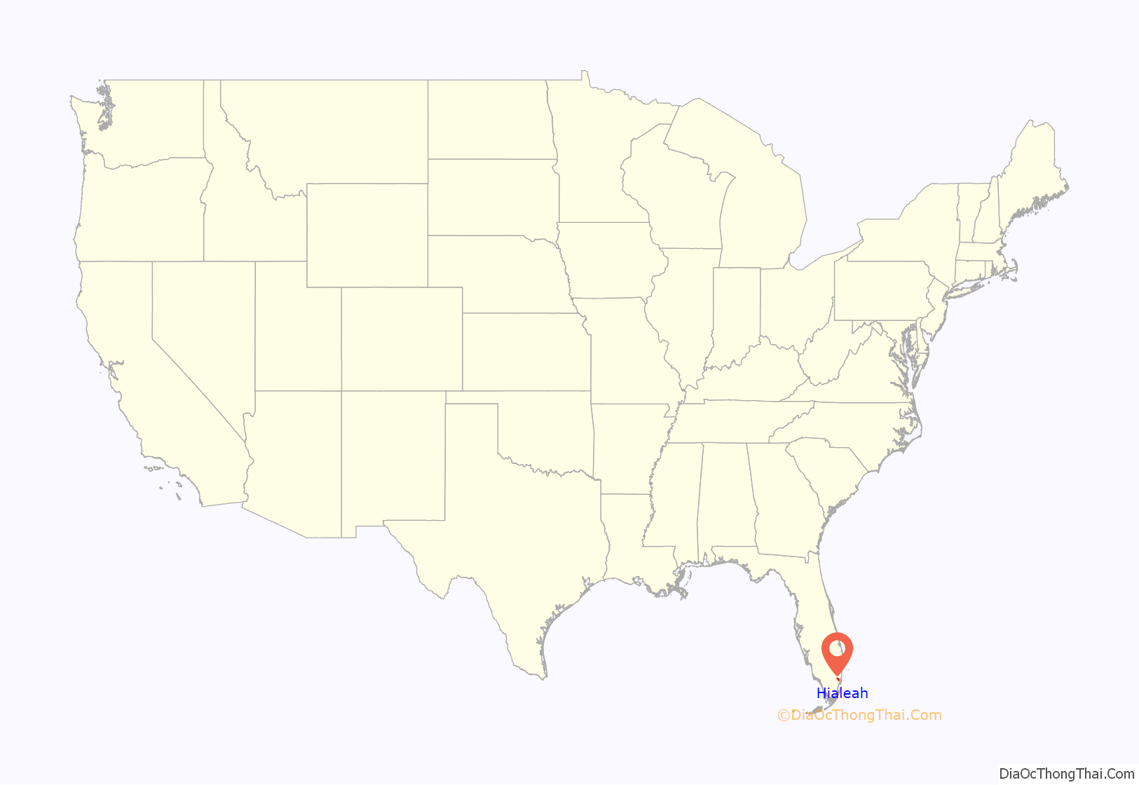
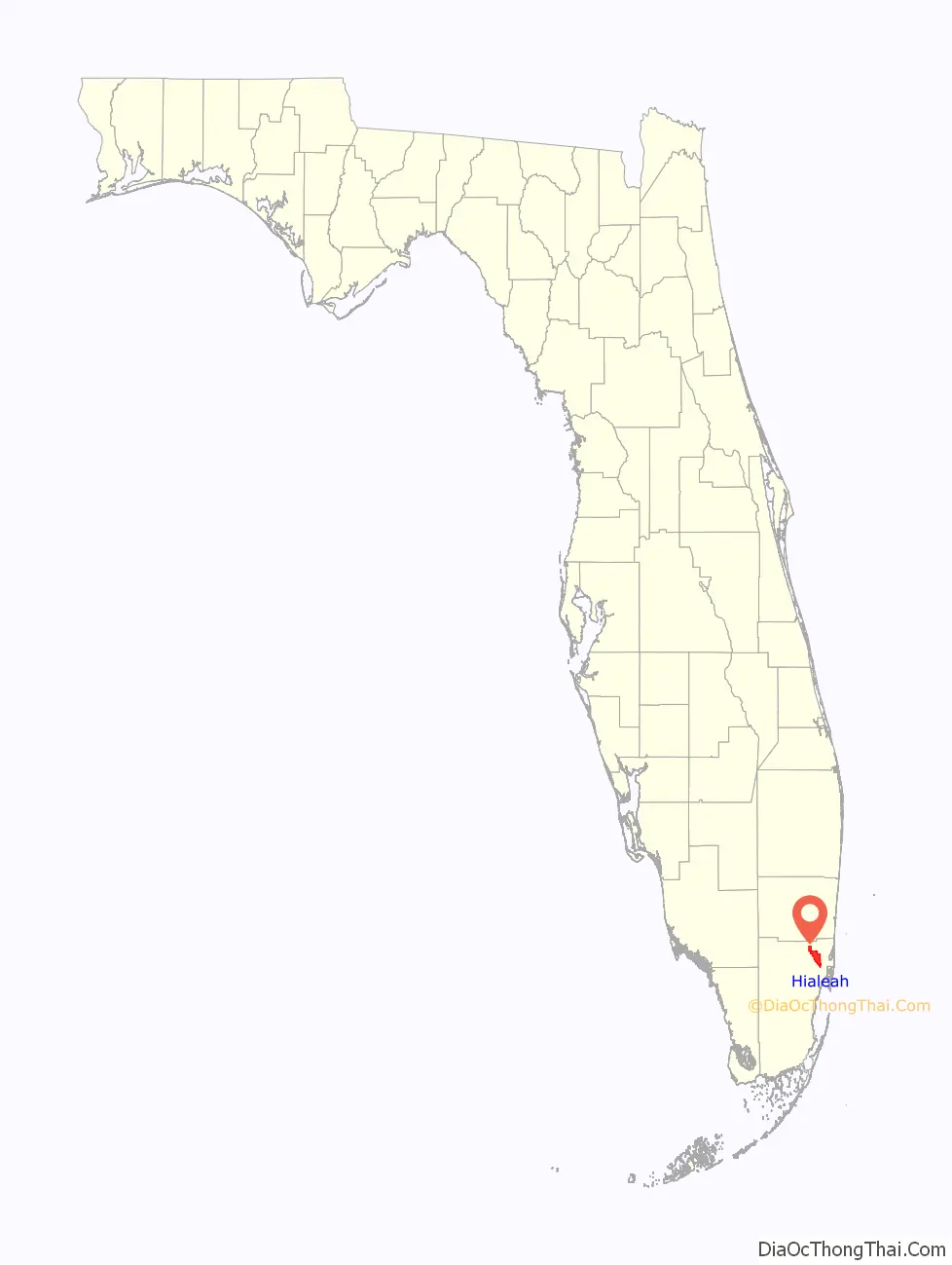
Hialeah location map. Where is Hialeah city?
History
The city’s name is most commonly attributed to Muskogee origin, “Haiyakpo” (prairie) and “hili” (pretty) combining in “Hialeah” to mean “pretty prairie”. Alternatively, the word is of Seminole origin meaning “Upland Prairie”. The city is located upon a large prairie between Biscayne Bay and the Everglades.
This “high prairie” caught the eye of pioneer aviator Glenn Curtiss and Missouri cattleman James H. Bright in 1921. Together, they developed not only the town of Hialeah but also Hialeah Park Race Track. In 1921, the first plat was drawn up, and the town was named.
In the early “Roaring ’20s”, Hialeah produced significant entertainment contributions. Sporting included the Spanish sport of jai alai and greyhound racing, and media included silent movies like D.W. Griffith’s The White Rose which was made at the Miami Movie Studios located in Hialeah. However, the 1926 Miami hurricane brought many of these activities to an end.
In the years since its incorporation in 1925, many historical events and people have been associated with Hialeah. The opening of the horse racing course at Hialeah Park Race Track in 1925 (which was nicknamed the “Grand Dame”) received more coverage in the Miami media than any other sporting event in the history of Dade County up to that time and since then there have been countless horse racing histories played out at the world-famous 220-acre (0.89 km) park. It was considered one of the most grand thoroughbred horse racing parks with its majestic Mediterranean style architecture and was considered the Jewel of Hialeah at the time.
The park’s grandeur has attracted millions, included among them are names known around the world such as the Kennedy family, Harry Truman, General Omar Bradley, Winston Churchill, and J.P. Morgan. The Hialeah Park Race Track also holds the dual distinction of being an Audubon Bird Sanctuary due to its famous pink flamingos and being listed on the National Register of Historic Places. The famous aviator Amelia Earhart in 1937 said her final good-byes to the continental U.S. from Hialeah as she left on her ill-fated flight around the world in 1937.
While Hialeah was once envisioned as a playground for the elite, Cuban exiles fleeing Fidel Castro’s 1959 revolution, as well as World War II veterans and city planners, transformed the city into a working-class community. Hialeah historian Patricia Fernández-Kelly explained, “It became an affordable Eden.” She further describes the city as “a place where different groups have left their imprint while trying to create a sample of what life should be like.” Several waves of Cuban exiles, starting after the Cuban Revolution in 1959 and continuing through to the Freedom Flights from 1965 to 1973, the Mariel boatlift in 1980, and the Balseros or boat people of the late 1990s, created what at least one expert has considered the most economically successful immigrant enclave in U.S. history as Hialeah is the only American industrial city that continues to grow.
From a population of 1,500 in 1925, Hialeah has grown faster than most of the 10 larger cities in the state of Florida since the 1960s and holds the rank of Florida’s fifth-largest city, with more than 224,000 residents. The city is also one of the largest employers in Dade County.
In January 2009, Forbes magazine listed Hialeah as one of the most boring cities in the United States, citing the city’s large population and anonymity in the national media.
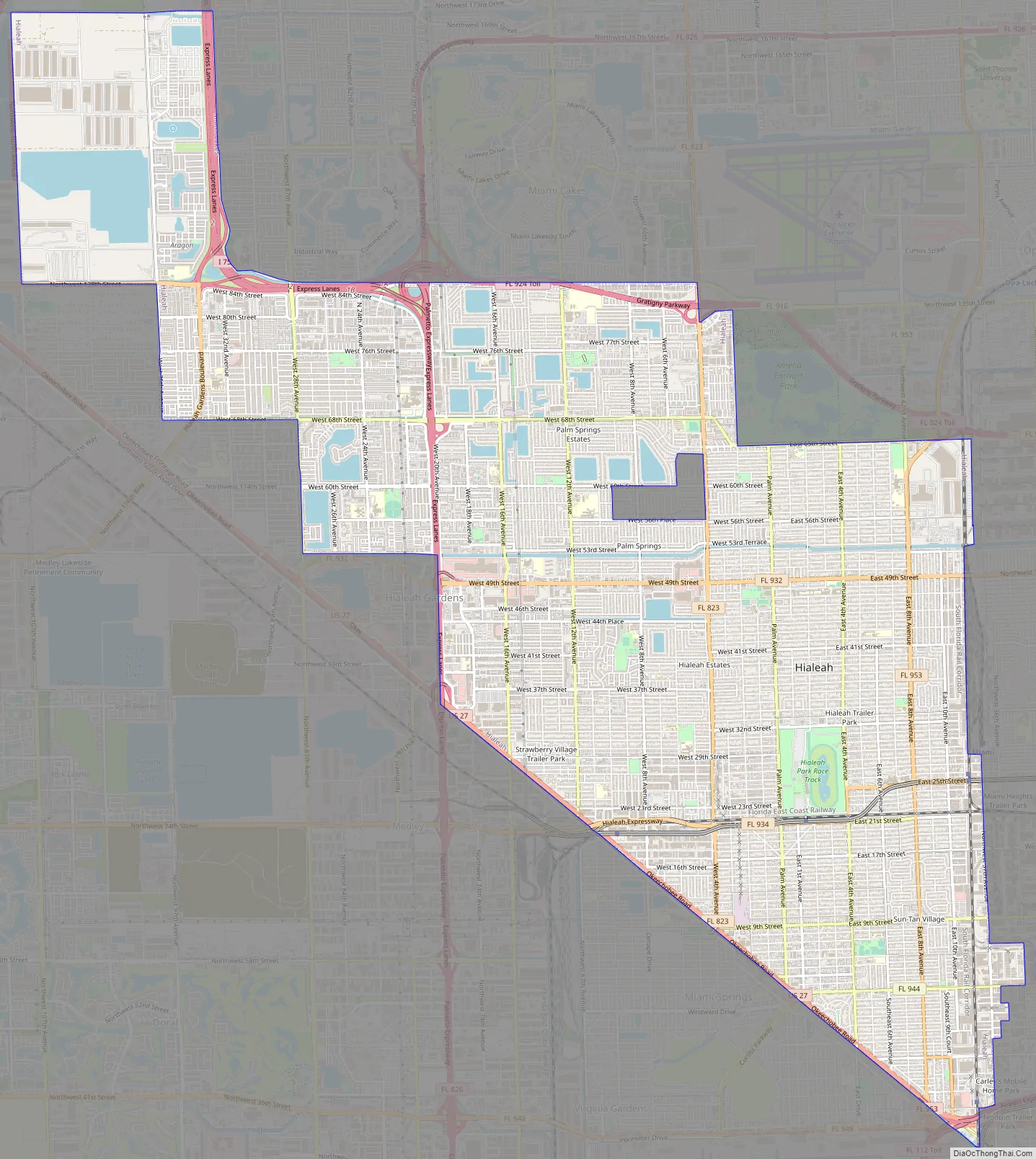
Hialeah Road Map
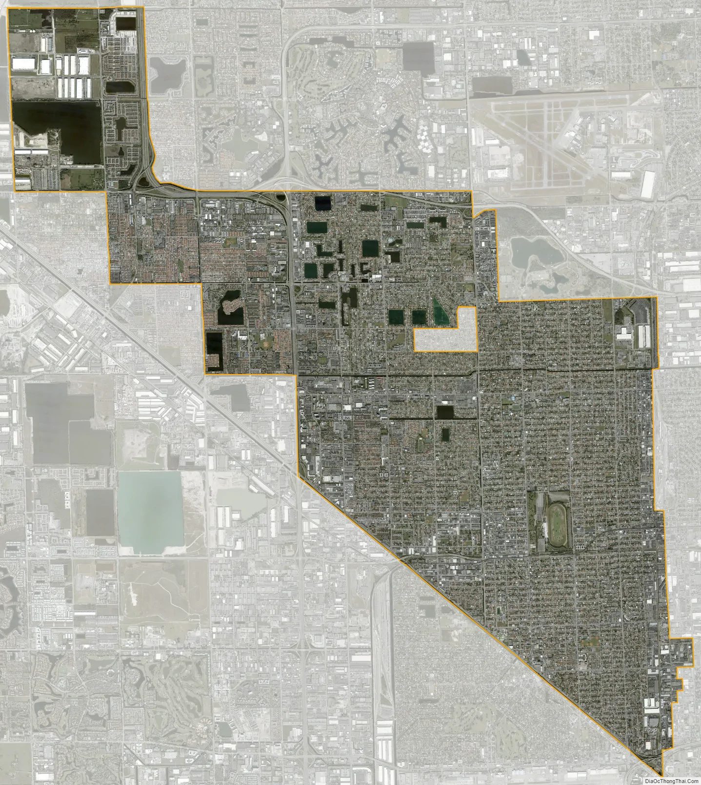
Hialeah city Satellite Map
Geography
Hialeah is located at 25°51′38″N 80°17′38″W / 25.86056°N 80.29389°W / 25.86056; -80.29389 (25.860474, –80.293971).
According to the United States Census Bureau, the city has a total area of 19.7 square miles (51 km). 19.2 square miles (50 km) of it is land and 0.5 square miles (1.3 km) of it (2.53%) is water.
Climate
According to the Köppen climate classification, Hialeah as a tropical monsoon climate (Am).
Surrounding areas
- Unincorporated Miami-Dade County, Miami Lakes, Opa-locka
- Unincorporated Miami-Dade County Westview
- Hialeah Gardens, Medley, Miami Springs Westview, West Little River, Gladeview, Brownsville, Miami
- Miami Springs Miami
- Hialeah Gardens, Medley, Miami Springs
See also
Map of Florida State and its subdivision:- Alachua
- Baker
- Bay
- Bradford
- Brevard
- Broward
- Calhoun
- Charlotte
- Citrus
- Clay
- Collier
- Columbia
- Desoto
- Dixie
- Duval
- Escambia
- Flagler
- Franklin
- Gadsden
- Gilchrist
- Glades
- Gulf
- Hamilton
- Hardee
- Hendry
- Hernando
- Highlands
- Hillsborough
- Holmes
- Indian River
- Jackson
- Jefferson
- Lafayette
- Lake
- Lee
- Leon
- Levy
- Liberty
- Madison
- Manatee
- Marion
- Martin
- Miami-Dade
- Monroe
- Nassau
- Okaloosa
- Okeechobee
- Orange
- Osceola
- Palm Beach
- Pasco
- Pinellas
- Polk
- Putnam
- Saint Johns
- Saint Lucie
- Santa Rosa
- Sarasota
- Seminole
- Sumter
- Suwannee
- Taylor
- Union
- Volusia
- Wakulla
- Walton
- Washington
- Alabama
- Alaska
- Arizona
- Arkansas
- California
- Colorado
- Connecticut
- Delaware
- District of Columbia
- Florida
- Georgia
- Hawaii
- Idaho
- Illinois
- Indiana
- Iowa
- Kansas
- Kentucky
- Louisiana
- Maine
- Maryland
- Massachusetts
- Michigan
- Minnesota
- Mississippi
- Missouri
- Montana
- Nebraska
- Nevada
- New Hampshire
- New Jersey
- New Mexico
- New York
- North Carolina
- North Dakota
- Ohio
- Oklahoma
- Oregon
- Pennsylvania
- Rhode Island
- South Carolina
- South Dakota
- Tennessee
- Texas
- Utah
- Vermont
- Virginia
- Washington
- West Virginia
- Wisconsin
- Wyoming


