Pahokee is a city located on the shore of Lake Okeechobee in Palm Beach County, Florida, United States. The population was 5,524 in the 2020 census.
According to the 2020 U.S. Census, 57% of the residents of Pahokee were African American and 33% were Hispanic or Latino. In 2018, the Mayor, Kenneth W. Babb, as well as the four members of the City Commission were all African American.
| Name: | Pahokee city |
|---|---|
| LSAD Code: | 25 |
| LSAD Description: | city (suffix) |
| State: | Florida |
| County: | Palm Beach County |
| Elevation: | 13 ft (4 m) |
| Total Area: | 5.32 sq mi (13.77 km²) |
| Land Area: | 5.32 sq mi (13.77 km²) |
| Water Area: | 0.00 sq mi (0.00 km²) |
| Total Population: | 5,524 |
| Population Density: | 1,039.32/sq mi (401.28/km²) |
| ZIP code: | 33476 |
| Area code: | 561 |
| FIPS code: | 1253800 |
| GNISfeature ID: | 0288376 |
| Website: | cityofpahokee.com/Pages/index |
Online Interactive Map
Click on ![]() to view map in "full screen" mode.
to view map in "full screen" mode.
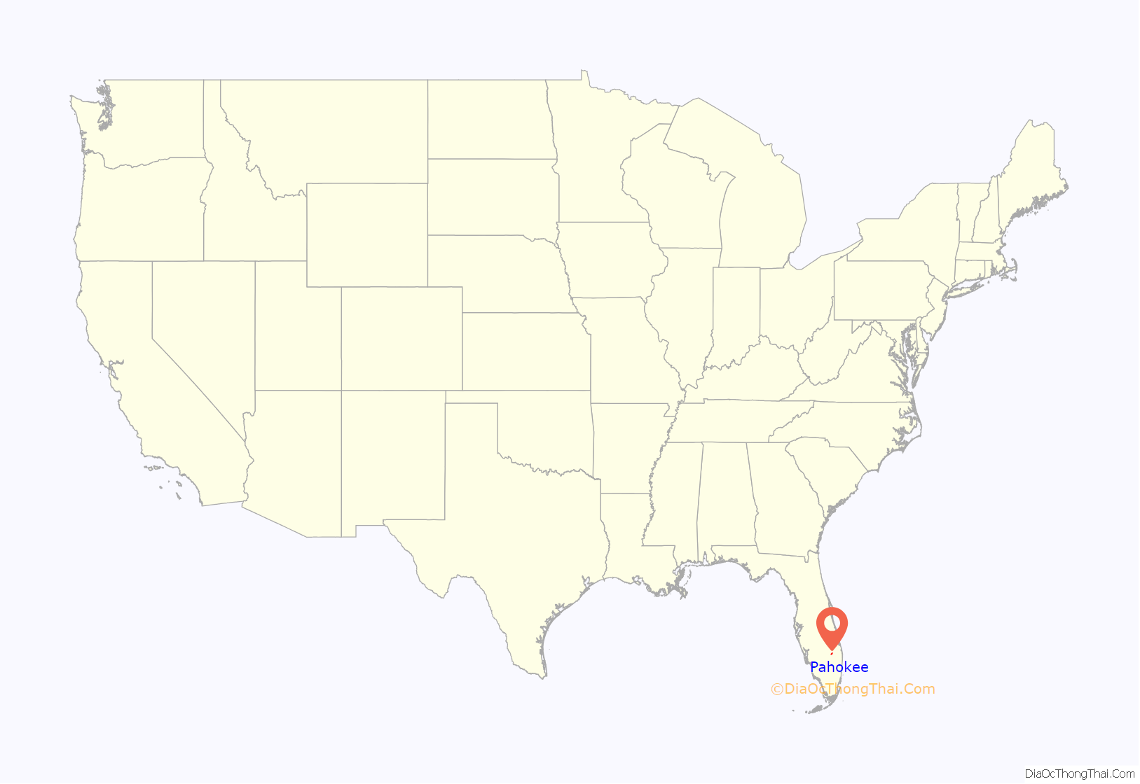
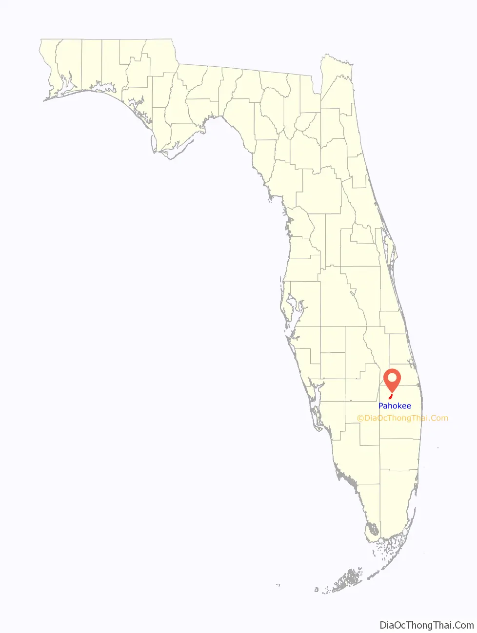
Pahokee location map. Where is Pahokee city?
History
Pahokee was incorporated in 1922. The name “Pahokee” means “grassy waters” in the Creek language. Local residents refer to Pahokee as “The Muck”, which signifies the mineral-rich dark soil in which sugar cane, citrus fruits, and corn are grown by agribusinesses. In the 1930s, it was known as the “Winter Vegetable Capital of the World”.
The city was severely affected, as were the other communities to the south of the lake, by the 1928 Okeechobee hurricane. Hurricane Wilma, in 2005, destroyed a newly built marina.
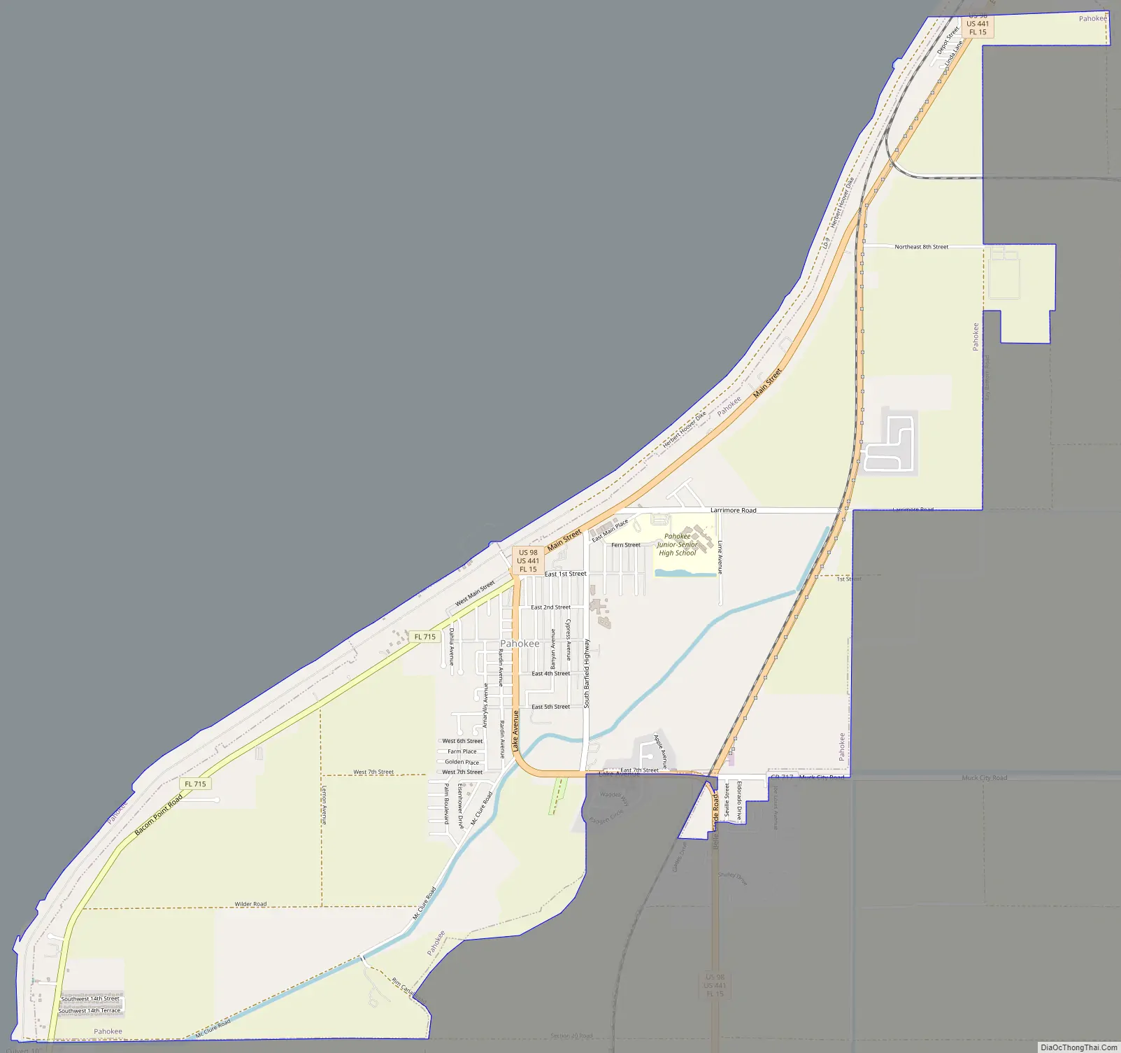
Pahokee Road Map
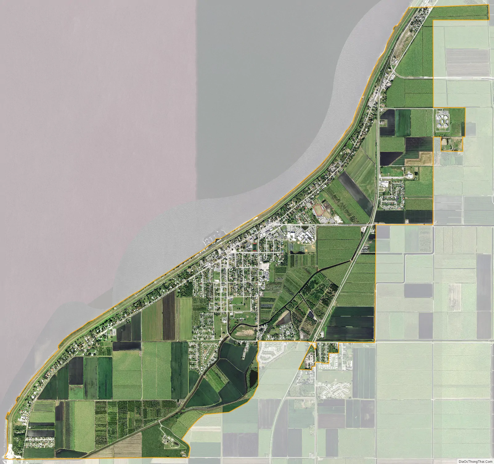
Pahokee city Satellite Map
Geography
Pahokee is located at 26°49′29″N 80°39′35″W / 26.82472°N 80.65972°W / 26.82472; -80.65972 (26.824717, –80.659660).
According to the United States Census Bureau, the city has a total area of 5.4 square miles (14 km), all land.
See also
Map of Florida State and its subdivision:- Alachua
- Baker
- Bay
- Bradford
- Brevard
- Broward
- Calhoun
- Charlotte
- Citrus
- Clay
- Collier
- Columbia
- Desoto
- Dixie
- Duval
- Escambia
- Flagler
- Franklin
- Gadsden
- Gilchrist
- Glades
- Gulf
- Hamilton
- Hardee
- Hendry
- Hernando
- Highlands
- Hillsborough
- Holmes
- Indian River
- Jackson
- Jefferson
- Lafayette
- Lake
- Lee
- Leon
- Levy
- Liberty
- Madison
- Manatee
- Marion
- Martin
- Miami-Dade
- Monroe
- Nassau
- Okaloosa
- Okeechobee
- Orange
- Osceola
- Palm Beach
- Pasco
- Pinellas
- Polk
- Putnam
- Saint Johns
- Saint Lucie
- Santa Rosa
- Sarasota
- Seminole
- Sumter
- Suwannee
- Taylor
- Union
- Volusia
- Wakulla
- Walton
- Washington
- Alabama
- Alaska
- Arizona
- Arkansas
- California
- Colorado
- Connecticut
- Delaware
- District of Columbia
- Florida
- Georgia
- Hawaii
- Idaho
- Illinois
- Indiana
- Iowa
- Kansas
- Kentucky
- Louisiana
- Maine
- Maryland
- Massachusetts
- Michigan
- Minnesota
- Mississippi
- Missouri
- Montana
- Nebraska
- Nevada
- New Hampshire
- New Jersey
- New Mexico
- New York
- North Carolina
- North Dakota
- Ohio
- Oklahoma
- Oregon
- Pennsylvania
- Rhode Island
- South Carolina
- South Dakota
- Tennessee
- Texas
- Utah
- Vermont
- Virginia
- Washington
- West Virginia
- Wisconsin
- Wyoming


