St. Pete Beach (formerly called St. Petersburg Beach) is a coastal city in Pinellas County, Florida. Known as a tourist destination, St. Pete Beach was formed from the towns of Pass-a-Grille, Belle Vista, St. Petersburg Beach and unincorporated Pinellas County.The population was 9,346 at the 2010 census.
St. Pete Beach’s downtown is centered on Corey Avenue. This district contains bars, restaurants and shopping and retail outlets. The Pass-a-Grille Historic District and the historic Don CeSar beach resort are located at the southern end of the beach. Recently, TripAdvisor named St. Pete Beach the No. 1 beach in America in 2021 and no. 5 best beach in the world.
| Name: | St. Pete Beach city |
|---|---|
| LSAD Code: | 25 |
| LSAD Description: | city (suffix) |
| State: | Florida |
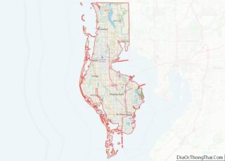
| County: | Pinellas County |
| Incorporated: | 1957; 66 years ago (1957) as St. Petersburg Beach |
| Elevation: | 6 ft (2 m) |
| Total Area: | 6.96 sq mi (18.04 km²) |
| Land Area: | 2.13 sq mi (5.51 km²) |
| Water Area: | 4.84 sq mi (12.53 km²) |
| Population Density: | 4,176.39/sq mi (1,612.32/km²) |
| ZIP code: | 33706 |
| FIPS code: | 1262885 |
| Website: | www.stpetebeach.org |
Online Interactive Map
Click on ![]() to view map in "full screen" mode.
to view map in "full screen" mode.
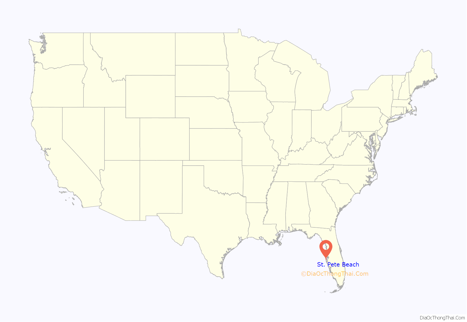
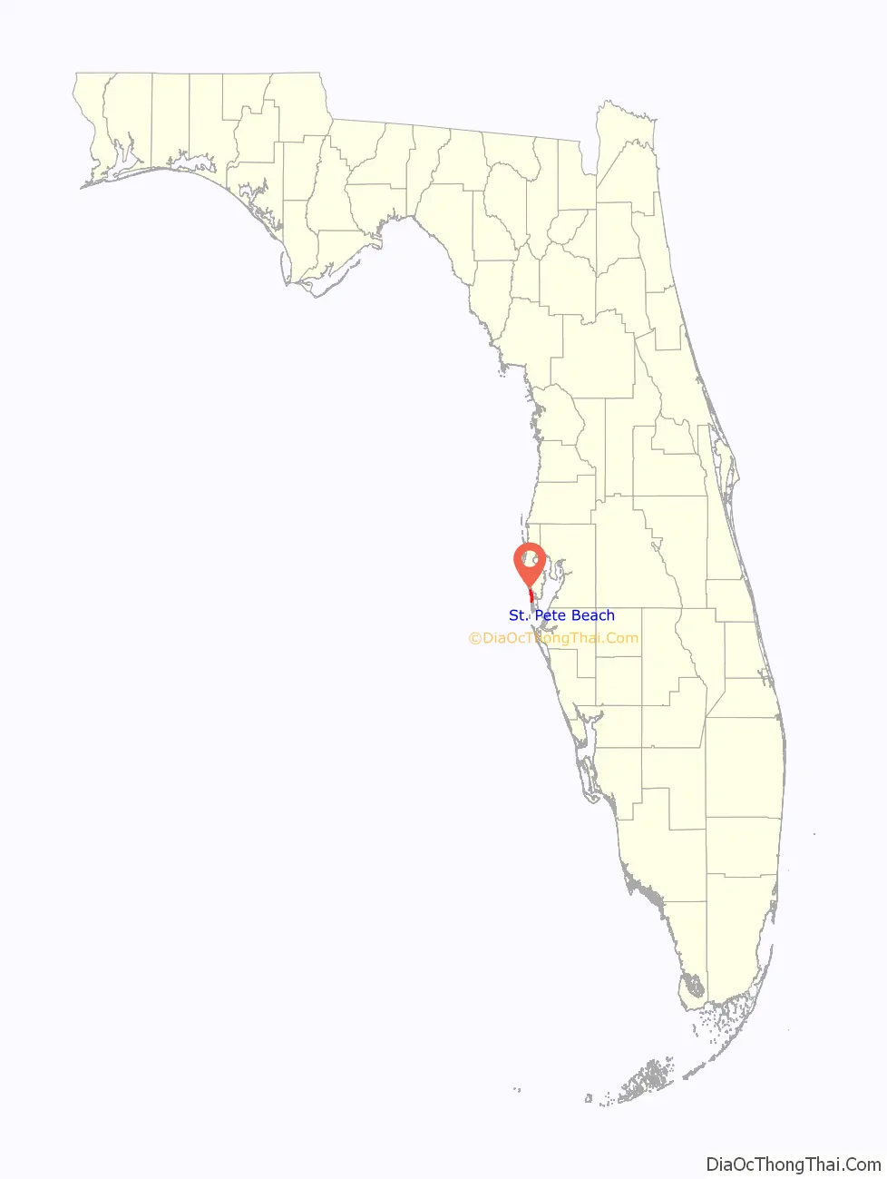
St. Pete Beach location map. Where is St. Pete Beach city?
History
The town of St. Pete Beach was consolidated from the municipalities of Pass-a-Grille, Don CeSar Place, Belle Vista and St. Petersburg Beach in a 1957 referendum, in which consolidation only won by a margin of 5 votes. At the time of its incorporation in 1957, its name was St. Petersburg Beach. On March 9, 1994, locals voted to officially change the name to the shorter version of St. Pete Beach, to distinguish it from the city of St. Petersburg a few miles to the east.
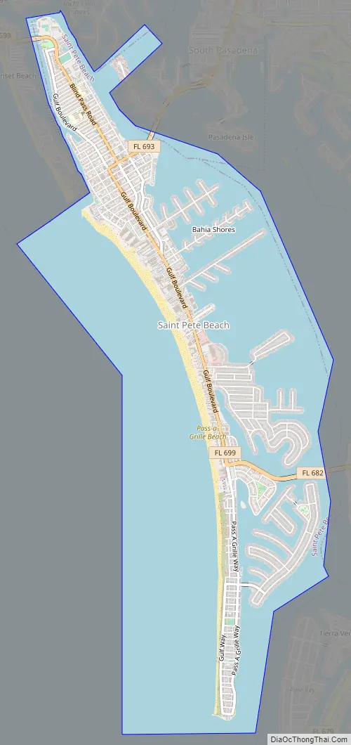
St. Pete Beach Road Map
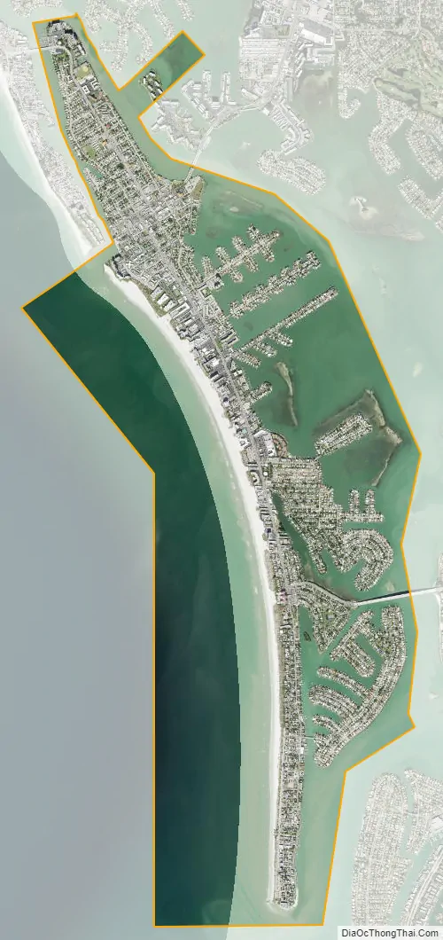
St. Pete Beach city Satellite Map
Geography
St. Pete Beach is located at 27°43′29″N 82°44′31″W / 27.72472°N 82.74194°W / 27.72472; -82.74194 (27.724587, –82.741850). According to the U.S. Census Bureau, the city has a total area of 19.9 square miles (52 km), of which 2.2 square miles (5.7 km) is land and 17.6 square miles (46 km) (88.68%) is water.
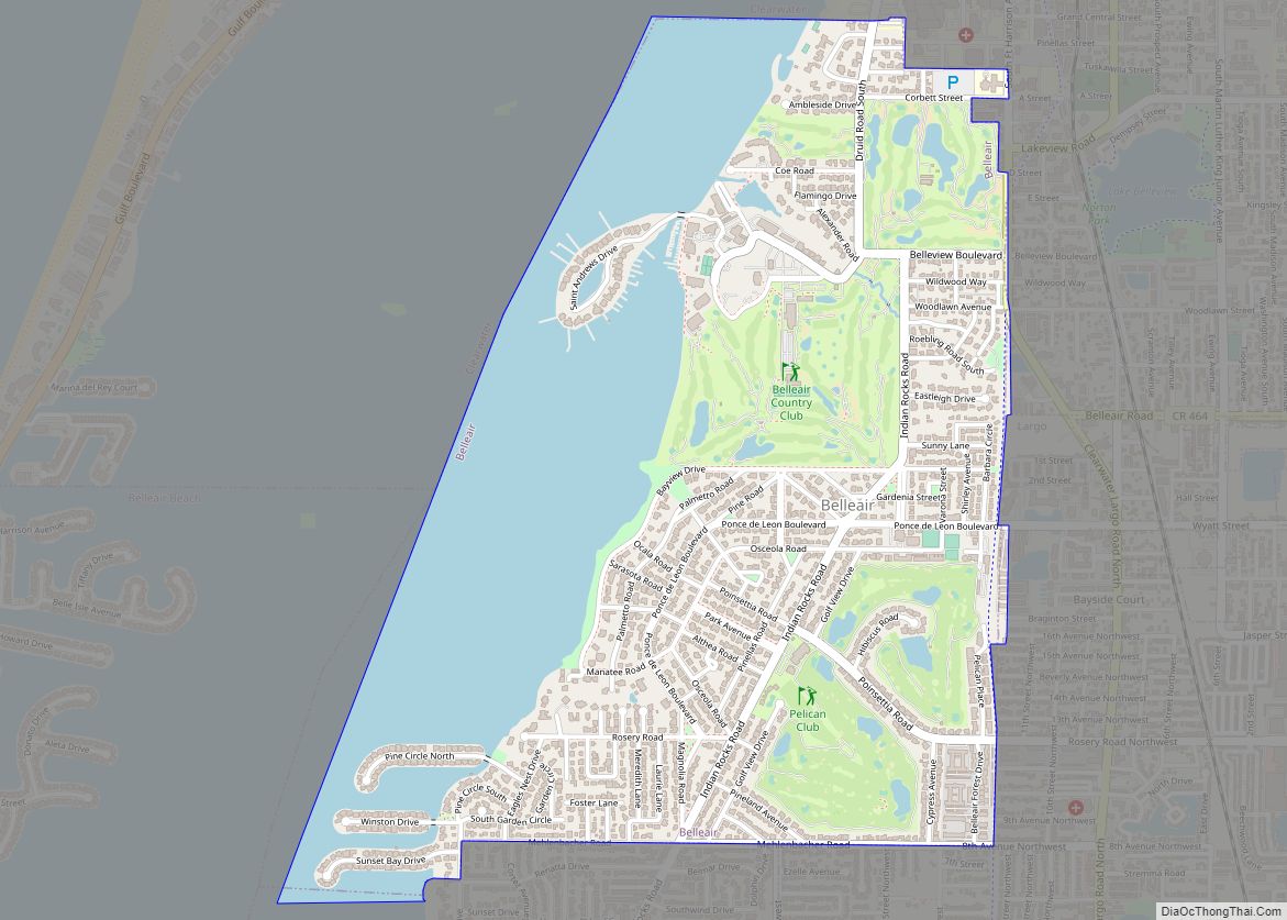
St. Pete Beach occupies the entire space of Long Key, a barrier island at the east central edge of the Gulf of Mexico. Three bridges lead into the city, connecting it to Treasure Island, South Pasadena and the Bayway Isles area of St. Petersburg. St. Pete Beach is located about 20 miles (32 km) south of Clearwater Beach.
See also
Map of Florida State and its subdivision:- Alachua
- Baker
- Bay
- Bradford
- Brevard
- Broward
- Calhoun
- Charlotte
- Citrus
- Clay
- Collier
- Columbia
- Desoto
- Dixie
- Duval
- Escambia
- Flagler
- Franklin
- Gadsden
- Gilchrist
- Glades
- Gulf
- Hamilton
- Hardee
- Hendry
- Hernando
- Highlands
- Hillsborough
- Holmes
- Indian River
- Jackson
- Jefferson
- Lafayette
- Lake
- Lee
- Leon
- Levy
- Liberty
- Madison
- Manatee
- Marion
- Martin
- Miami-Dade
- Monroe
- Nassau
- Okaloosa
- Okeechobee
- Orange
- Osceola
- Palm Beach
- Pasco
- Pinellas
- Polk
- Putnam
- Saint Johns
- Saint Lucie
- Santa Rosa
- Sarasota
- Seminole
- Sumter
- Suwannee
- Taylor
- Union
- Volusia
- Wakulla
- Walton
- Washington
- Alabama
- Alaska
- Arizona
- Arkansas
- California
- Colorado
- Connecticut
- Delaware
- District of Columbia
- Florida
- Georgia
- Hawaii
- Idaho
- Illinois
- Indiana
- Iowa
- Kansas
- Kentucky
- Louisiana
- Maine
- Maryland
- Massachusetts
- Michigan
- Minnesota
- Mississippi
- Missouri
- Montana
- Nebraska
- Nevada
- New Hampshire
- New Jersey
- New Mexico
- New York
- North Carolina
- North Dakota
- Ohio
- Oklahoma
- Oregon
- Pennsylvania
- Rhode Island
- South Carolina
- South Dakota
- Tennessee
- Texas
- Utah
- Vermont
- Virginia
- Washington
- West Virginia
- Wisconsin
- Wyoming